Kotárjökull is one of several outlet glaciers draining the ice-covered volcano Öræfajökull. What makes Kotárjökull special, is it’s remarkable advance over the past decade.
Kotárjökull is a southwest outlet glacier of Öræfajökull and terminates at an elevation of 350 m, in a narrow gorge. Though the snout is hidden, Kotárjökull’s upper part (accumulation area) is an impressive sight from the main road around Iceland, so there is a parking lot where many people stop for a minute to take a snapshot. Few actually walk the 3.5 km to the snout. But in 1891, Frederick Howell did, and he didn’t stop there.
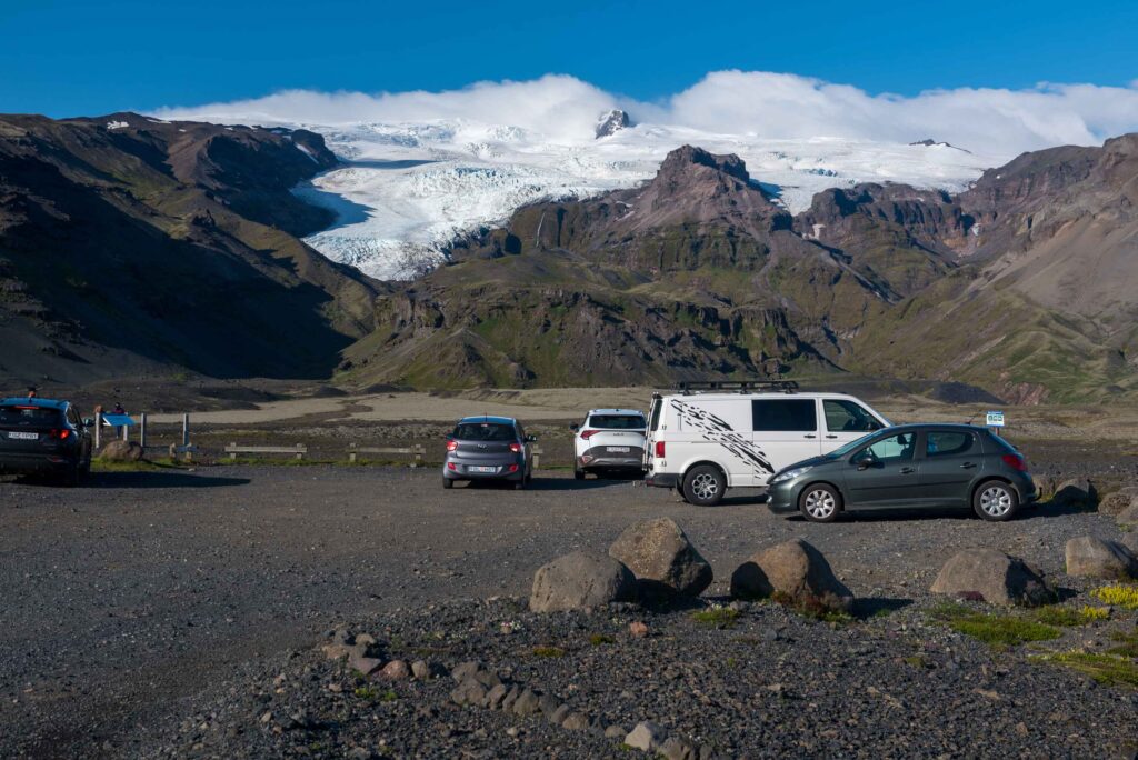
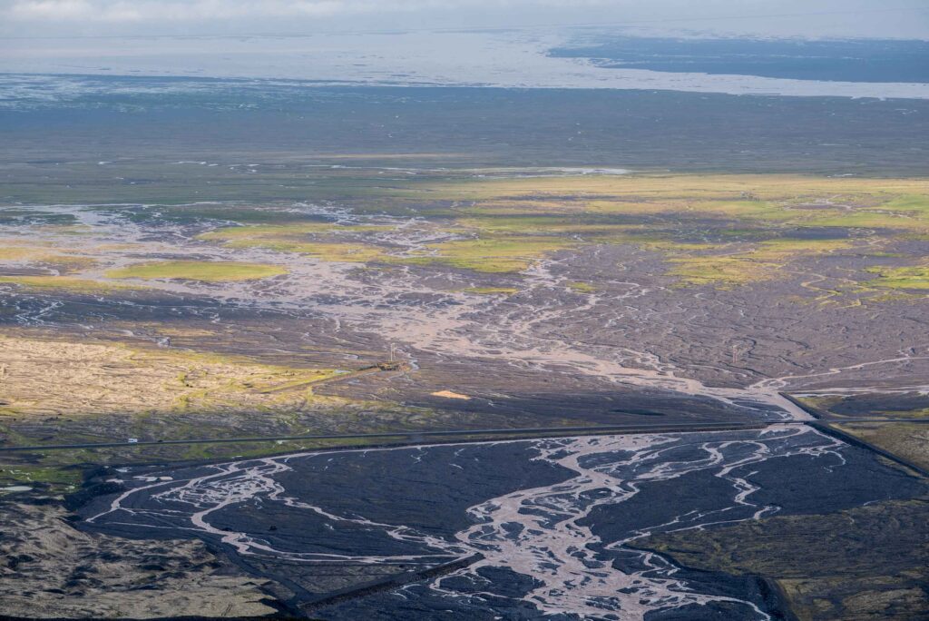
In the summer of 1890, Howell did a first attempt to ascent Öræfajökull. He was accompanied by three men from Svínafell, a tiny village a few miles away. They met at Sandfell, once a small village but washed away by the jökulhlaups of 1362 and 1727. In those years, Öræfajökull volcano erupted and caused floods of melting ice. The forefield of Kotárjökull still bears witness of the flood in 1727 in the form of kettle holes, which are round depressions where icebergs have stranded during the flood. Moreover, The eastern part of the area is still called Svartijökull (Black glacier) due to the black jökulhlaup deposits. Directly after the flood Kotárjökull itself ‘’slid forwards over the plane ground, just like melted metal poured out of a crucible’’, according to the rector of Sandfell at the time (Thorarinsson, 1958).
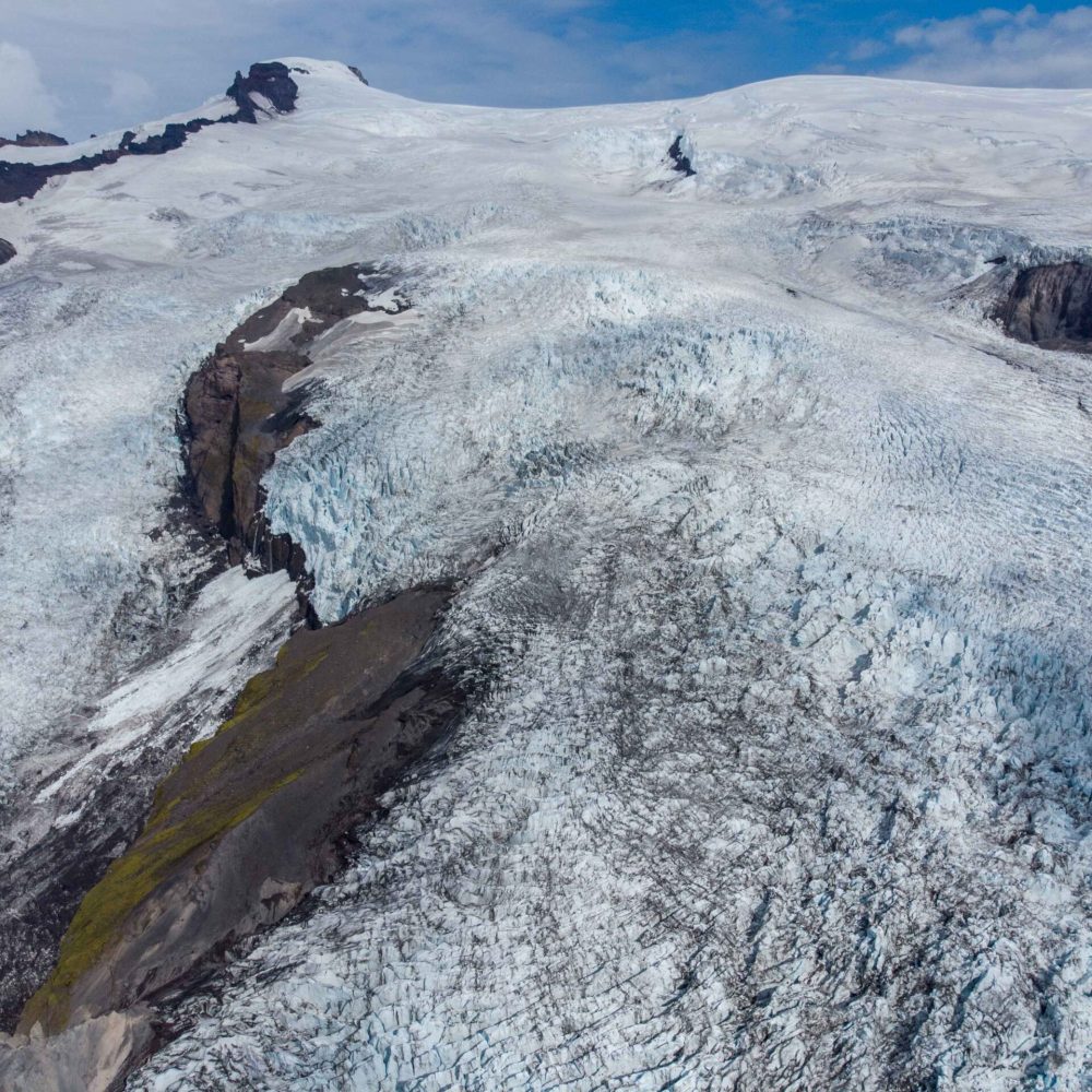
When Howell met with the men from Svínafell (Jón Sigurdsson, Páll Jónsson and Þorlákur Þorláksson) at Sandfell in 1890, a church was the only building that remained, and it stopped functioning as such in 1914. From Sandfell, the party of four headed in a northerly direction and crossed the heavily crevassed Falljökull. After spending a wet night under an overhanging rock, they managed to climb to the very foot of what is now known as Hvannadalshnúkur, Iceland’s highest summit. But a storm was raging by then and had blown two of them down on the snow, so Howell ‘’reluctantly gave the word to return’’ (Howell, 1892).
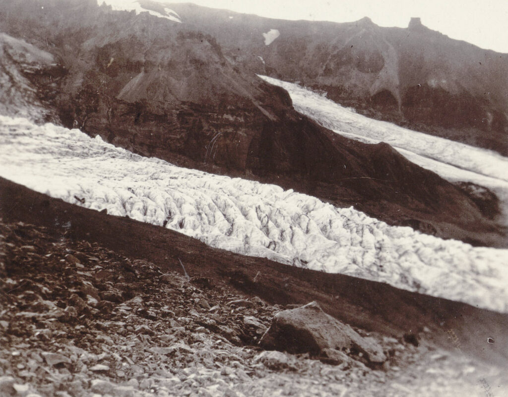
Howell returned to Sandfell the next year, and discovered an easier route. By ascending the mountains directly east of Sandfell (which has remained the normal way up ever since), he avoided the myriad of crevasses. And in doing so, he and his companions passed the northern margin of Kotárjökull. Back then, the glacier was called Hofsjökull. Just like now, the middle part is split by a mountain (Hofsfjall, now Rótarfjall), but in Howell’s days the two glaciers merged again. He even took three photographs of the glacier, which are some of the first photos of an Icelandic glacier.
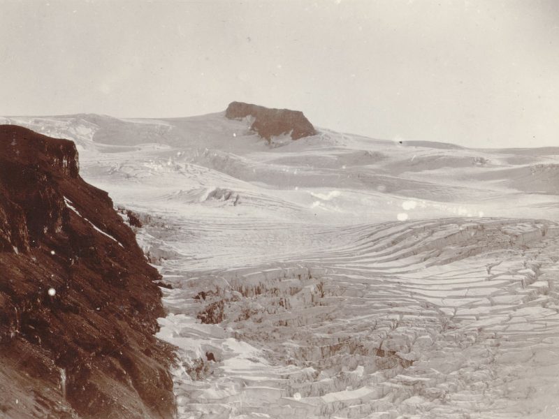
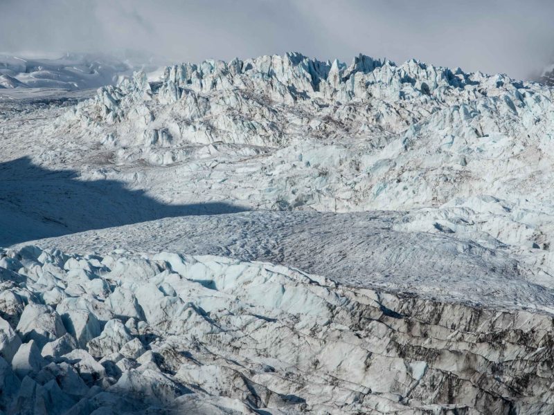
Howell, together with Páll Jónsson and Þorlákur Þorláksson, continued his way to the top. Howell: ‘’On our right (was) the upper ice fall of the Hofs Jökull. This had been covered with a thick layer of snow, and as the ridges broke away they had taken also their snow coverings, whose sharp clear-cut edges, rising tier above tier, presented a picture of extreme beauty.’’ He managed to climb the Rótarfjallshnúkur mountain (called Knappr back then), only to affirm that this is not Öræfajökull’s summit, as he already suspected.
Páll Jónsson fell in disbelief when Howell told his guides he also wanted to make a second attempt to ascend the actual top of Öræfajökull, 3 more miles to the north. That proved to be very difficult, as its snow- and ice-covered flanks were extremely steep. Howell even had to call the legs of his camera into use ‘’to strengthen a doubtful snow wreath’’. 15.5 hours after they set out, the three men were the first to stand on the very top of Öræfajökull. Though Howell caried his not-so-pocketable camera all this way, no photos are known of this part of the expedition, maybe because they couldn’t see a thing as snow continued to fall (Howell, 1892).
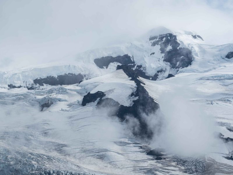
When the men climbed Öræfajökull, Kotárjökull was bigger than it had been for thousands of years (Gudmundsson, 1998). Therefore, Howell’s photographs provide a reference of the maximum glacier extent. Together with old maps, three scientists from the University of Iceland estimated that Kotárjökull lost a third of its volume from 1891 to 2011, the equivalent of 20 cm of its thickness every year (Guðmundsson et al., 2012). But this loss of ice isn’t evenly distributed over the glacier: the upper part hardly changed, whereas the snout lost up to 180 m in thickness and retreated by 1.3 km.
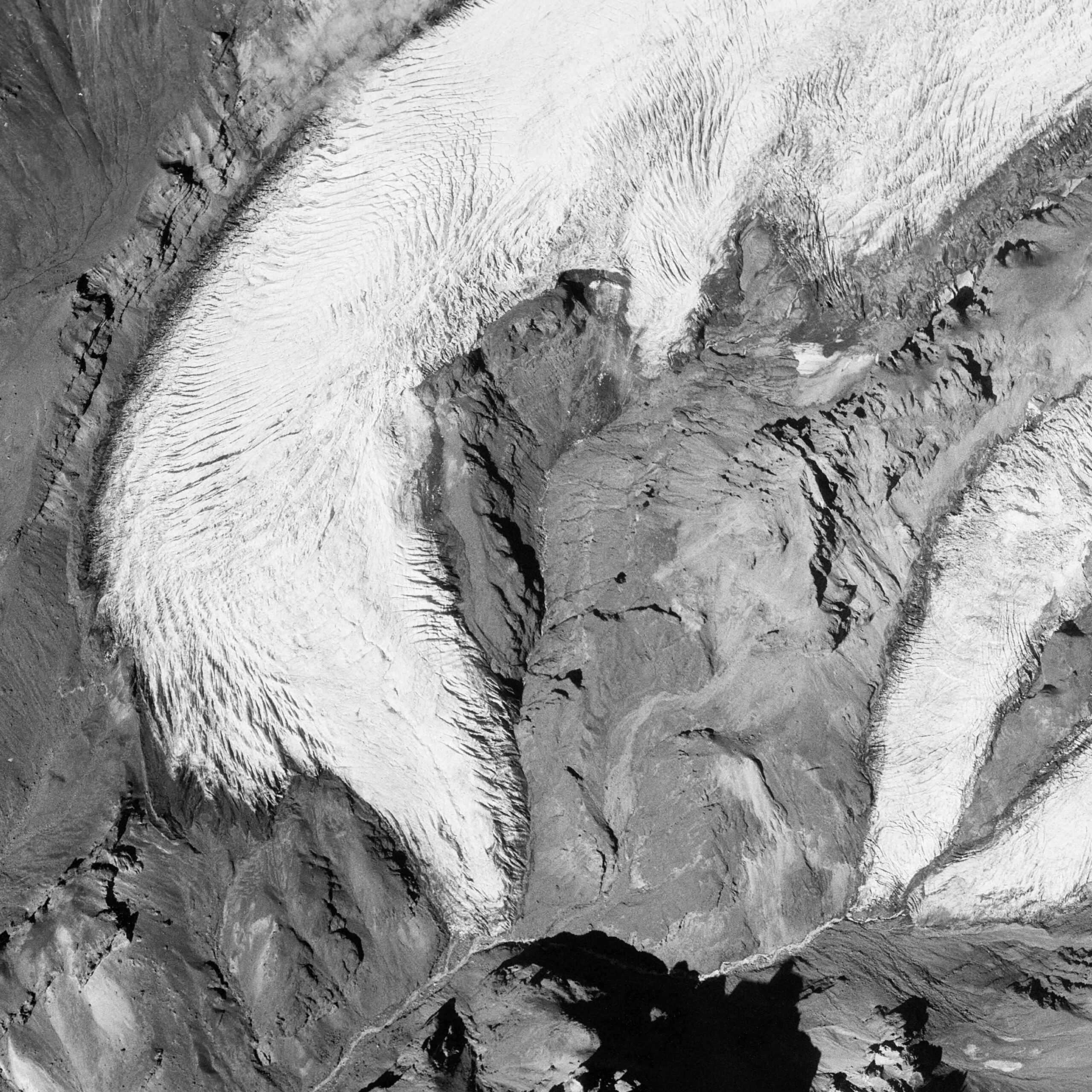
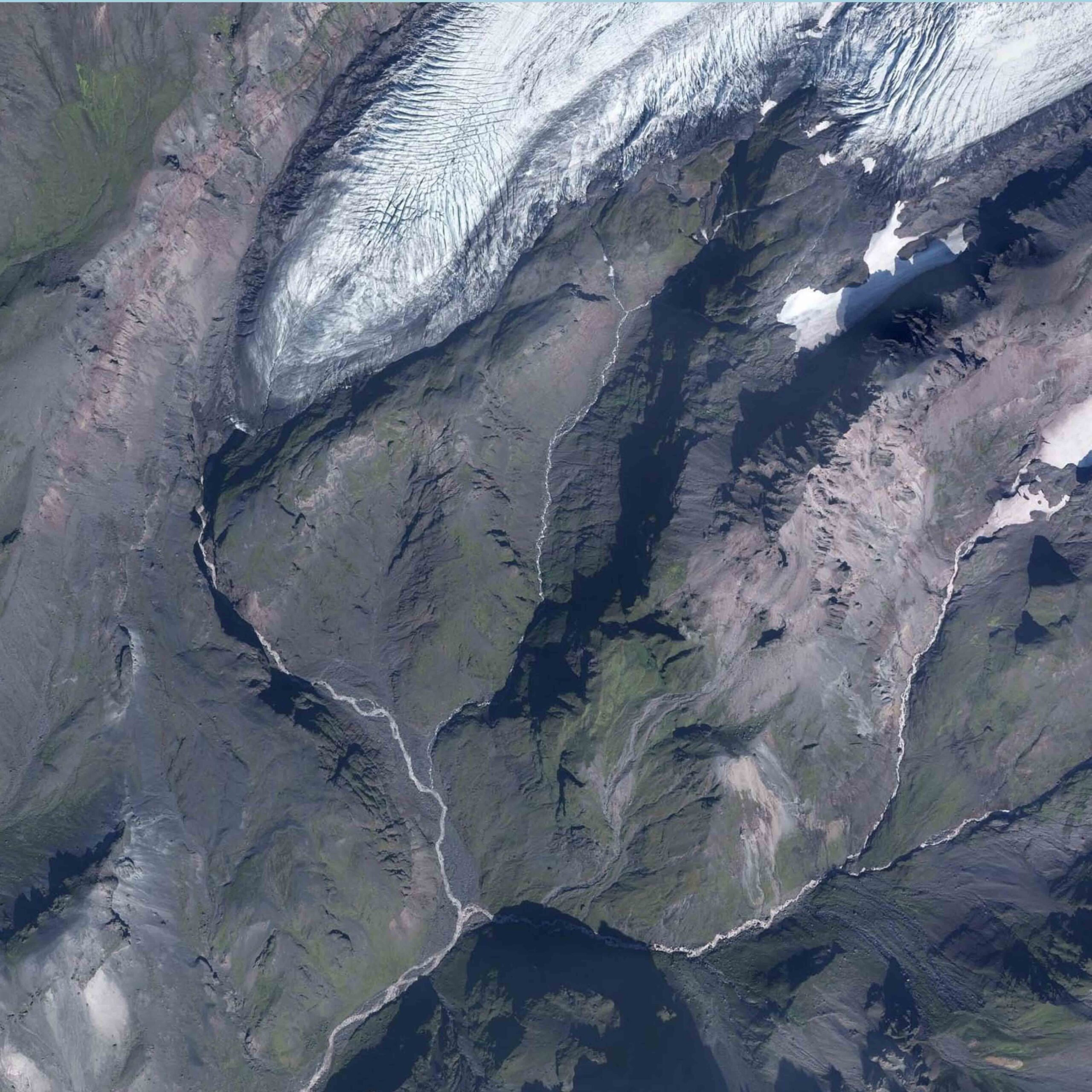
Kotárjökull in 1989 (left) and 2021. Rótarfjallsjökull on the far right. Source: Landmælingar Íslands.
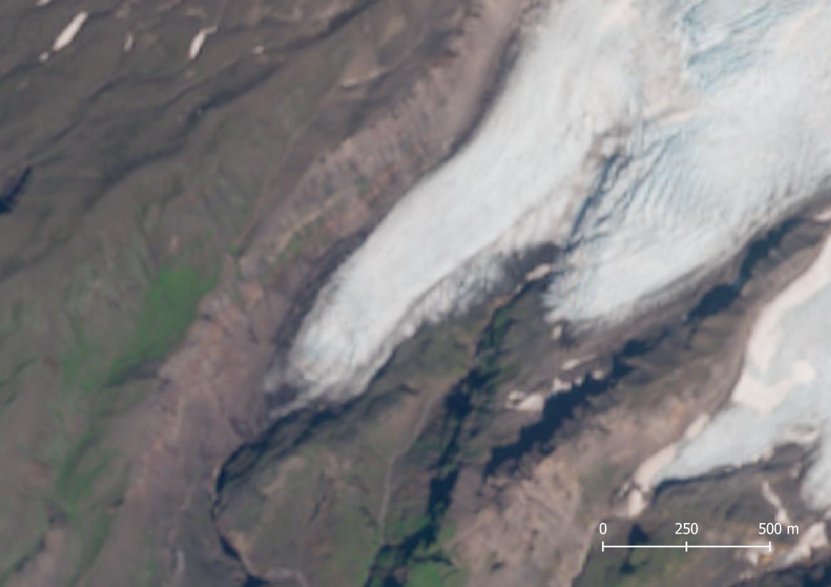
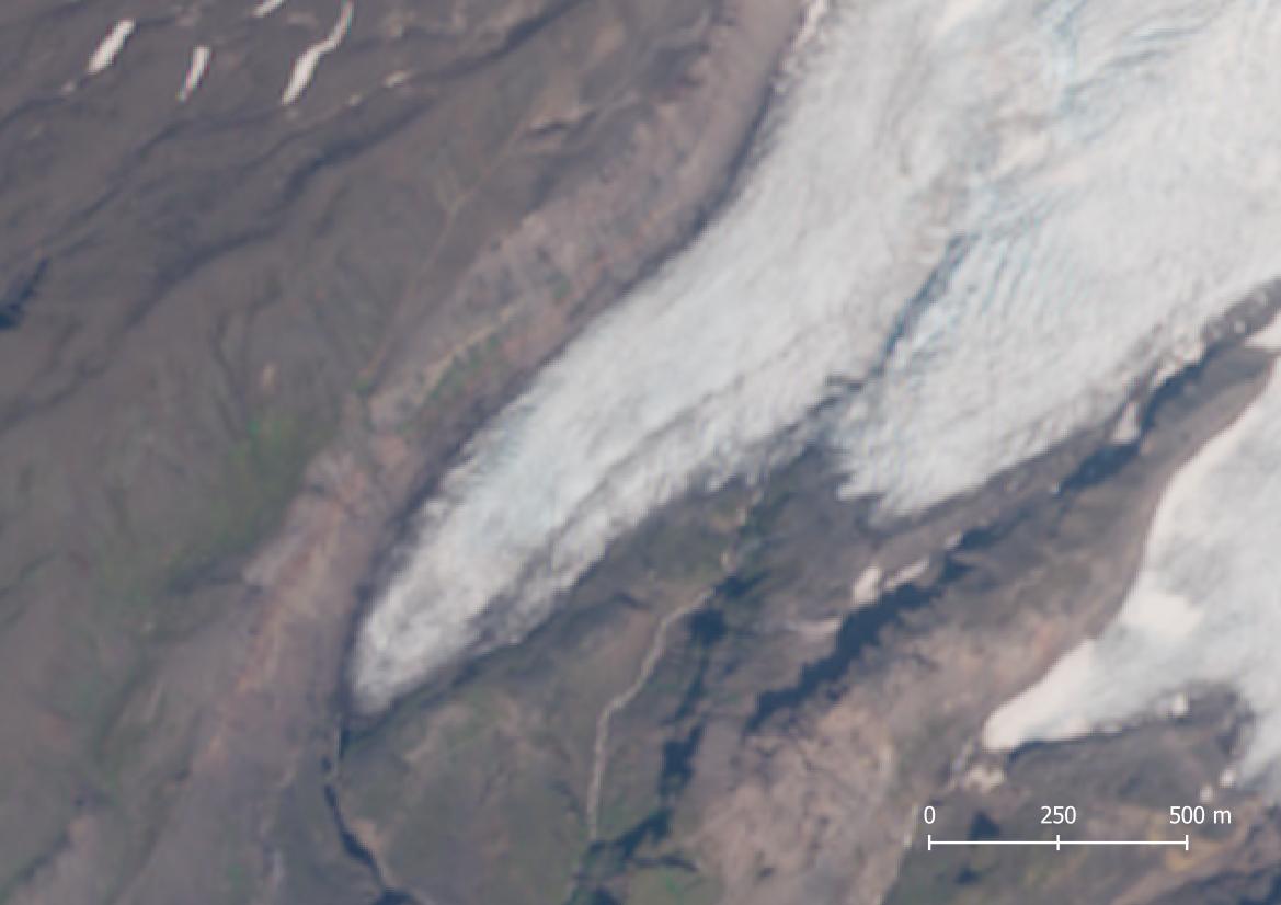
Satellite images (Sentinel-2) of Kotárjökull in 2017 (left) and 2023. It advanced by 200 m.
Soon after the paper about Kotárjökull’s melt was published, the situation changed. From 2014 to 2020, the south coast of Iceland experienced seven precipitous years. Although no regular mass balance measurements are conducted at Öræfajökull, it’s clear that the extra snowfall has halted the retreat of several outlet glaciers over the last 5 to 10 years. And even better, Kotárjökull has advanced considerably. It retreated until about 2016 and then started to advance. In 2024, the glacier is 200 m longer than in 2017 and the lower 2 km of its snout increased in thickness.
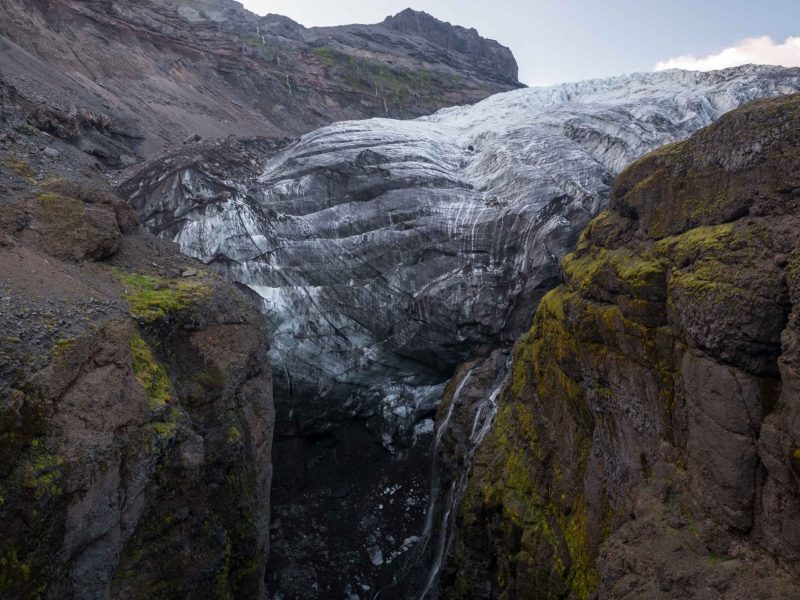
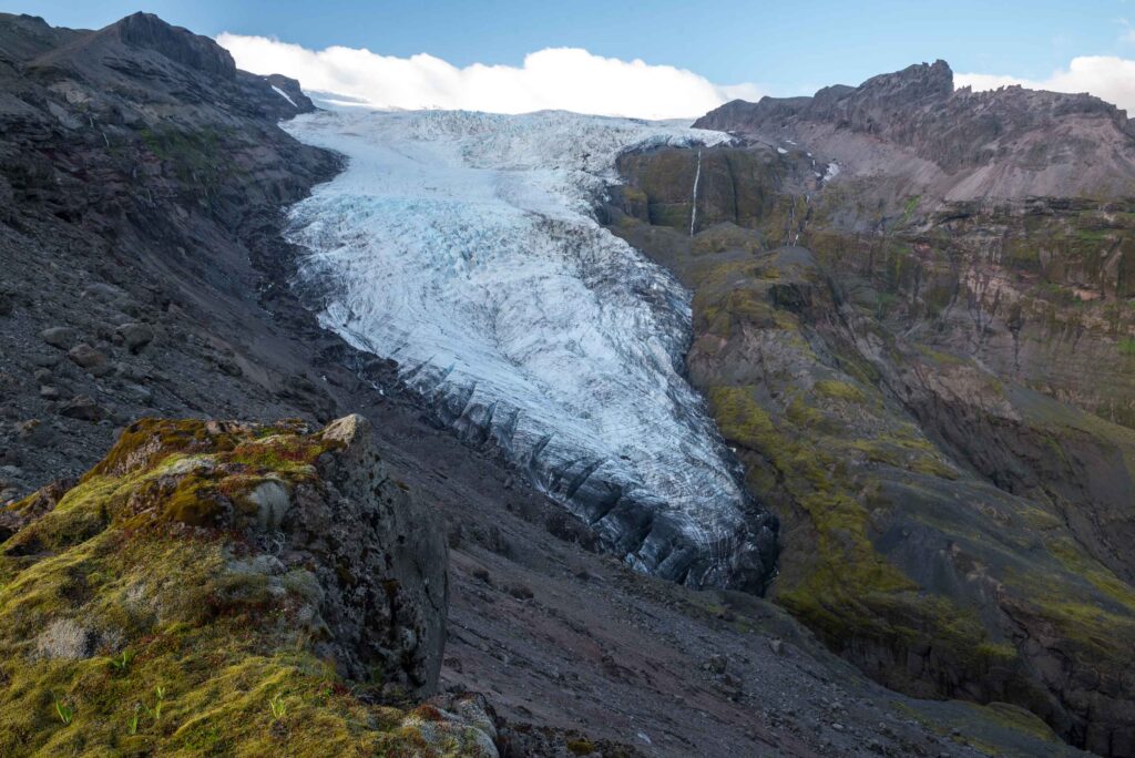
The snout of Kotárjökull is squeezed in a narrow gorge. The ice presses against the valley sides with so much force, that the meltwater has difficulties finding an opening. Therefore, more meltwater is now emerging a bit higher from the southern margin of the snout and flows in a side valley for 1 km, before joining the main valley again.
Kotárjökull is not closely monitored, but it probably behaved more or less the same as nearby Falljökull, which was stable in the 1960’s and 1970’s, advanced in the 1980’s and receded strongly from 2000 to circa 2015. Both Kotárjökull and Falljökull are advancing since then. Kotárjökull is forming a new lateral moraine to the north and is scraping moss-covered slopes to the south.
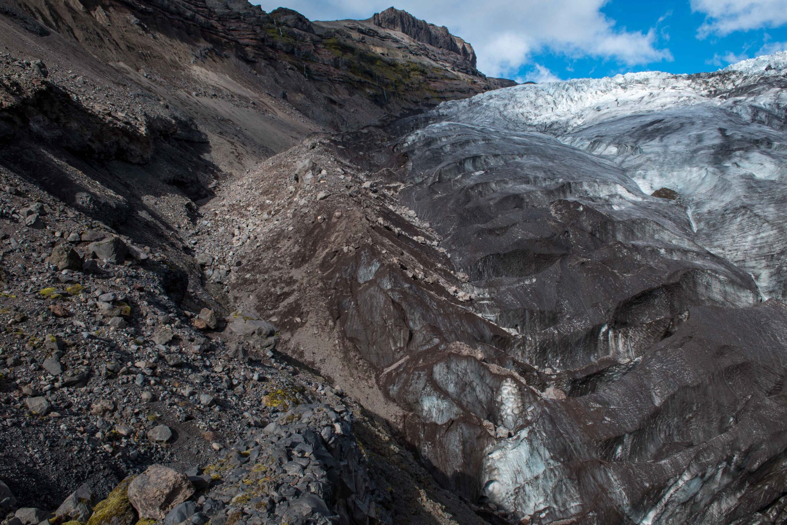
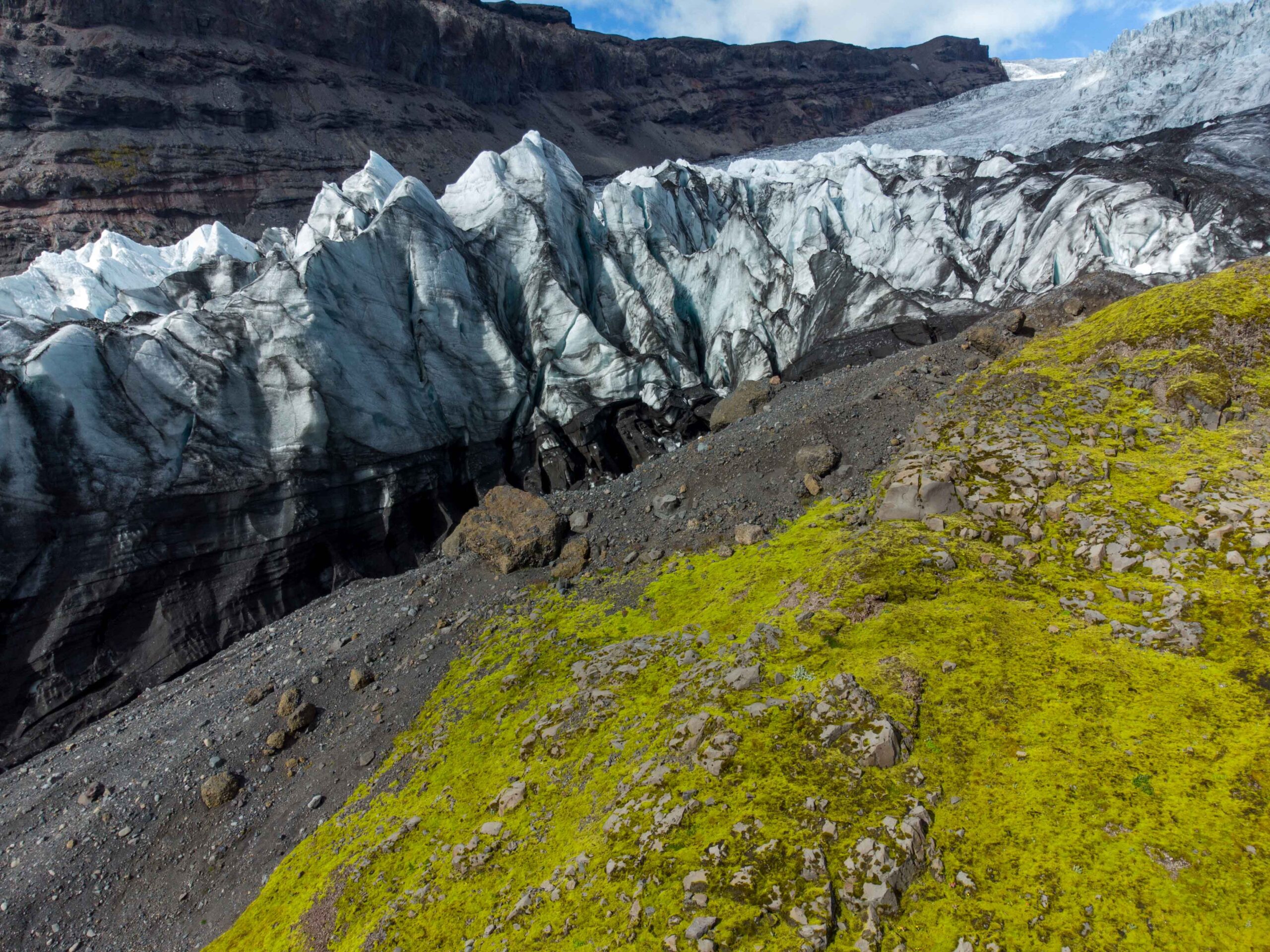
Because of the narrow gorge, Kotárjökull is more growing in thickness than in length. Eventually, the glacier could overcome the ridge that confines the glacier, but it’s more likely that rising summer temperatures and already decreasing precipitation will reverse the trend within the next years.
Search within glacierchange: