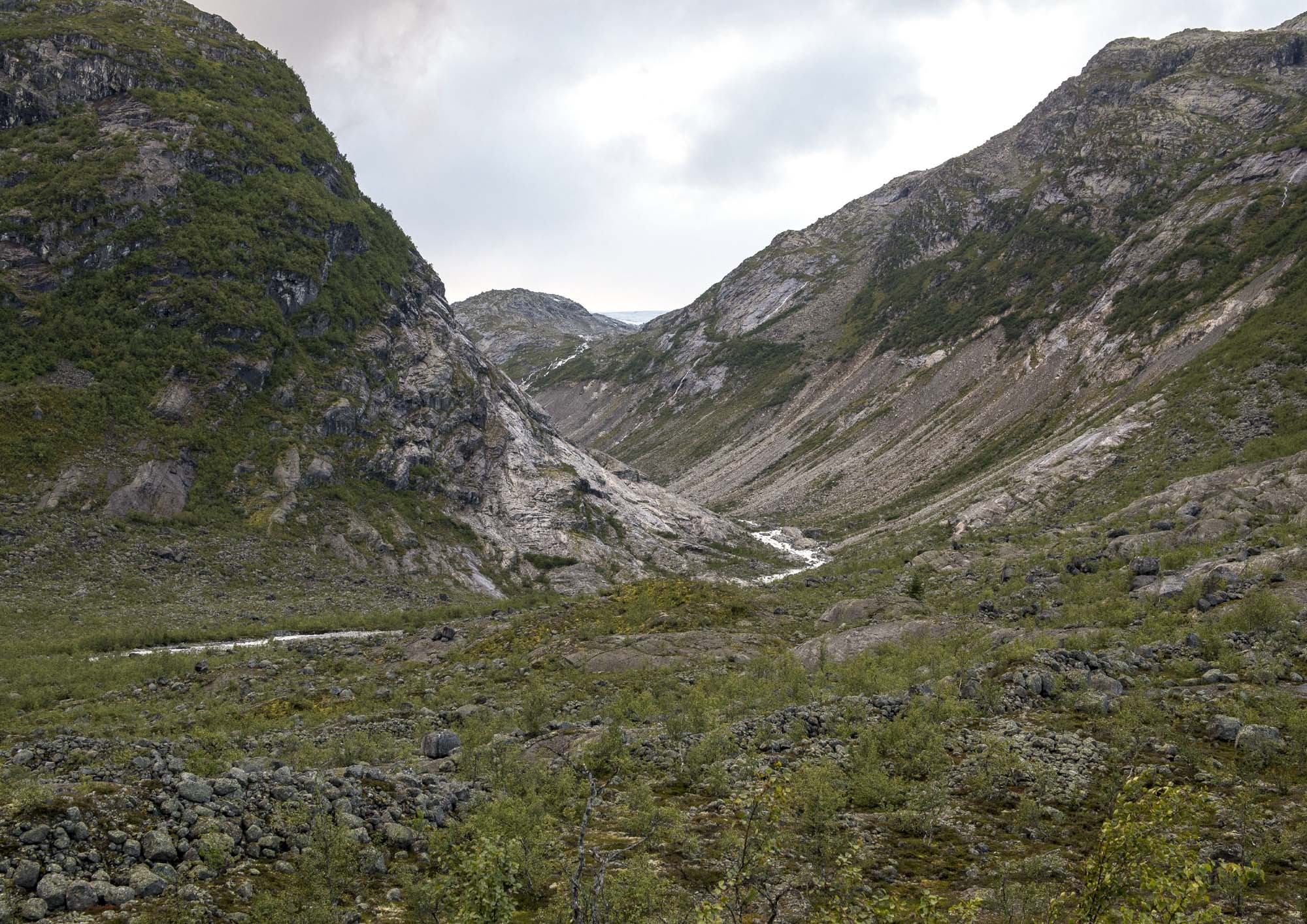
Fåbergstølsbreen is an eastern outlet glacier of Jostedalsbreen ice cap. It receded dramatically over the past century.
Jostedalsbreen is named after the Jostedalen valley to the east of it. For a long time, this was a remote valley. Getting there was easier via the ice cap than by making your way along the river in the narrow and treacherous valley. In fact, young men would attend church on the other (west) side of the ice cap, allegedly to meet girls (source: exhibition Breheimsenteret).
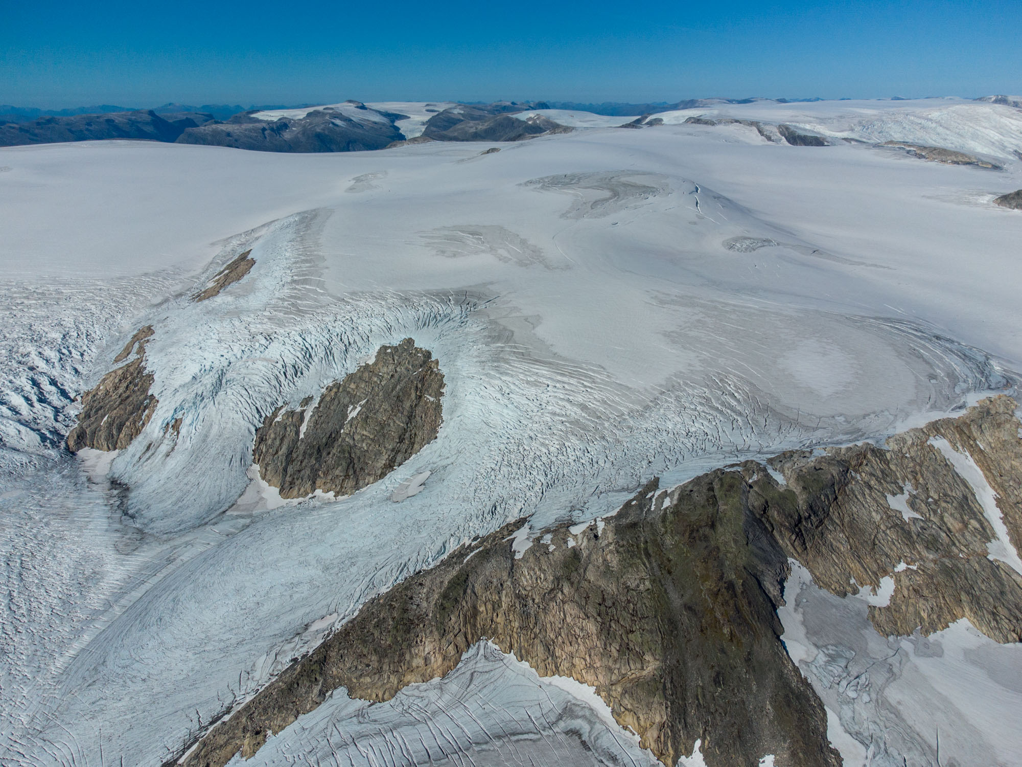
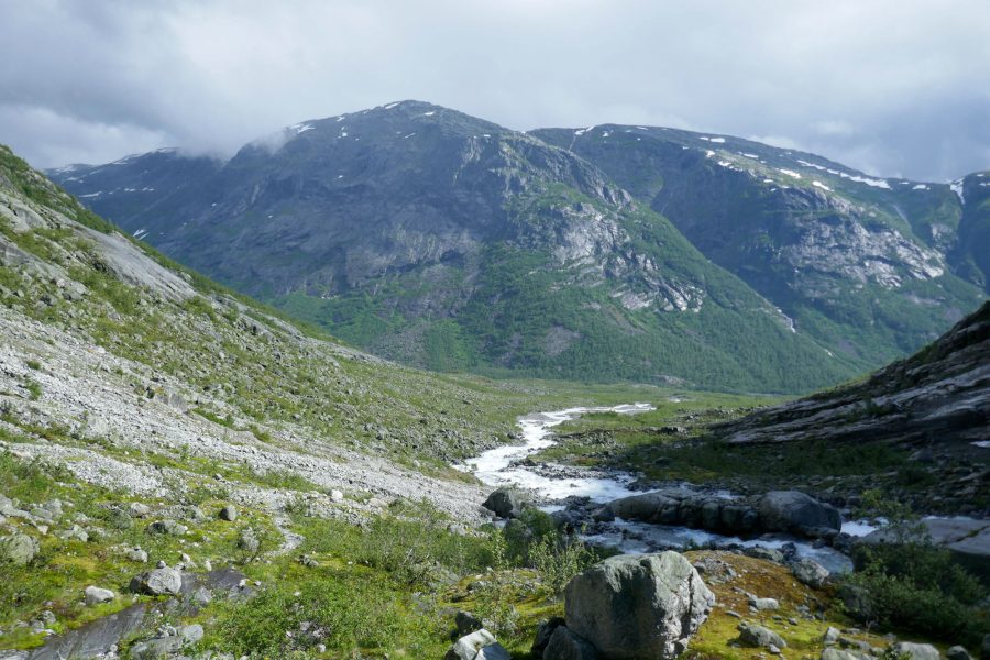
At times, glaciers formed a formidable obstacle. And of Jostedalsbreen’s many glacier arms, Fåbergstolsbreen was the only one that stretched far enough to really block the Jostedal valley. Based on the size of lichens, this must have occurred around 1705 (Bickerton & Matthews, 1992).
Since its maximum extent in the early 1700’s the glacier overall receded, though interrupted by numerous (small) advances. All of Jostedal’s glaciers experienced these advances, often synchronously. Some of the most profound ones are dated around 1820, 1840, 1855, 1885, 1910 and 1930. Each time the glacier advanced it created moraine ridges (Bickerton & Matthews, 1992).
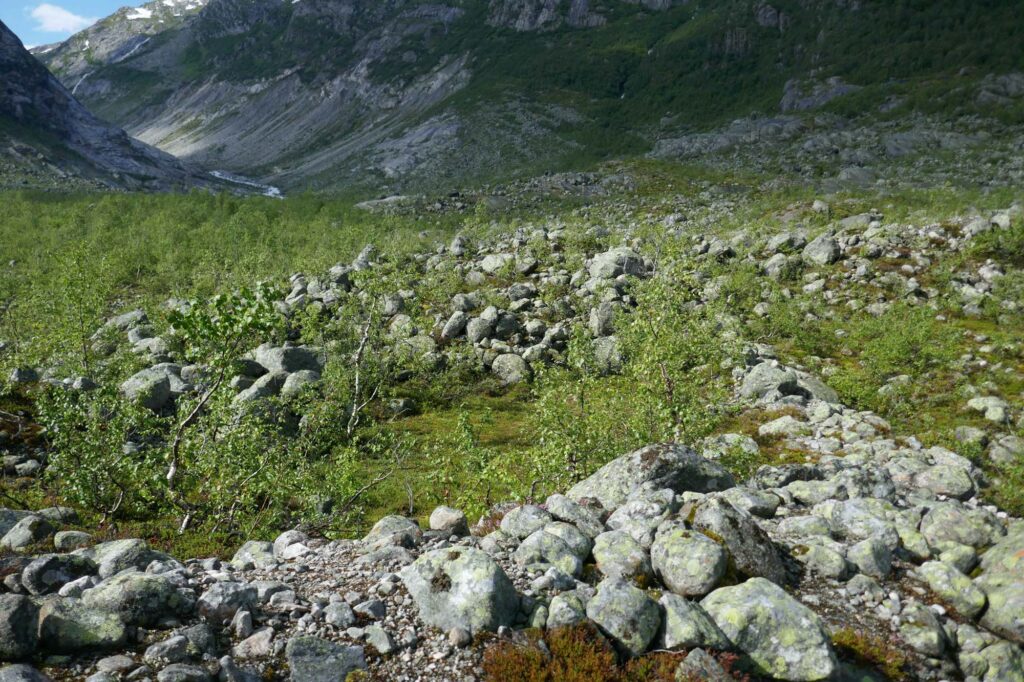
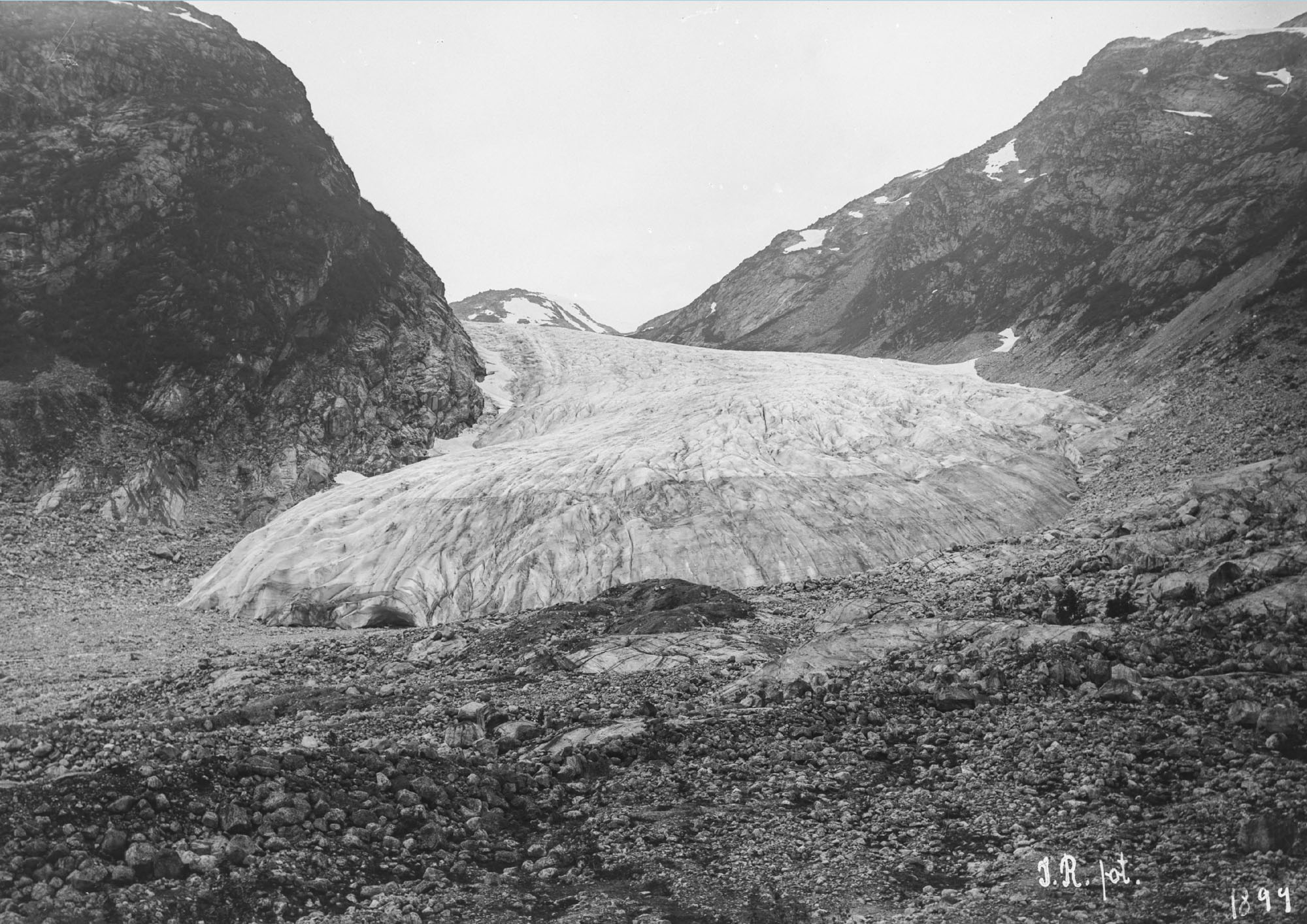
Fåbergstolsbreen in 1899 and 2024. Source 1899: John Rekstad, University of Bergen Library ubb-jr-129-015.
Fåbergstølsbreen grew for the very last time from 1993 to 2000, by 125 m. The glacier has retreated continuously since then. In total it lost 2.3 km since yearly measurements began in 1898 (source: NVE) and 3 km since the start of the 18th century.
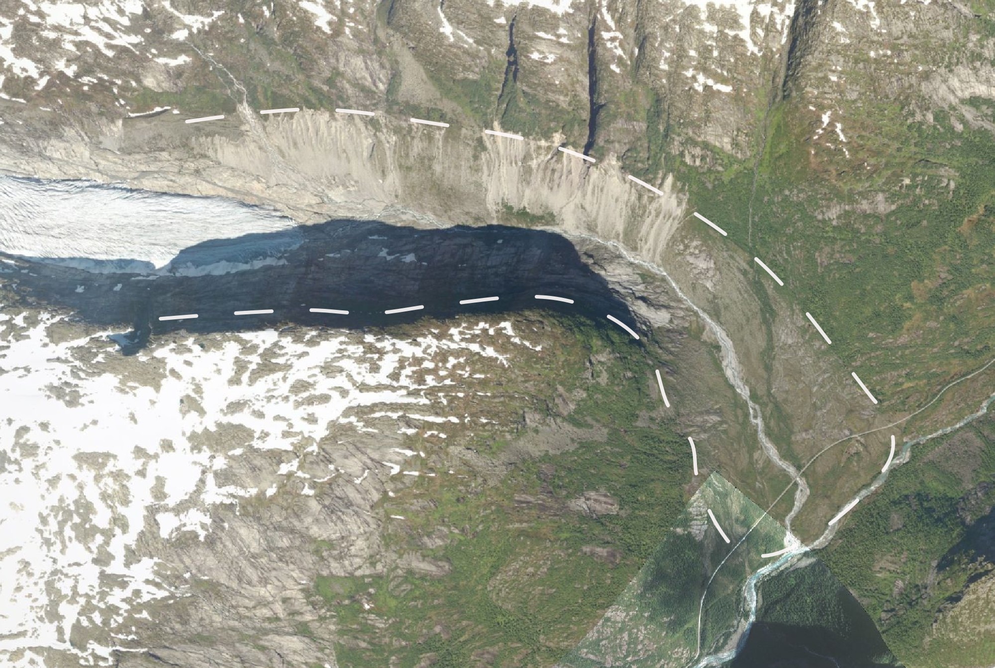
The withdrawal of Fåbergstølsbreen makes the northern valley slope collapse. Here, the glacier constructed one of the biggest lateral moraines of Jostedalsbreen. Because the glacier no longer holds the moraine wall in place it started to erode mid-20th century. The moraine is transformed into gullied badlands, with fans of debris deposited on the floor of Fåbergstølsdalen valley (Ballantyne & Benn, 1994).
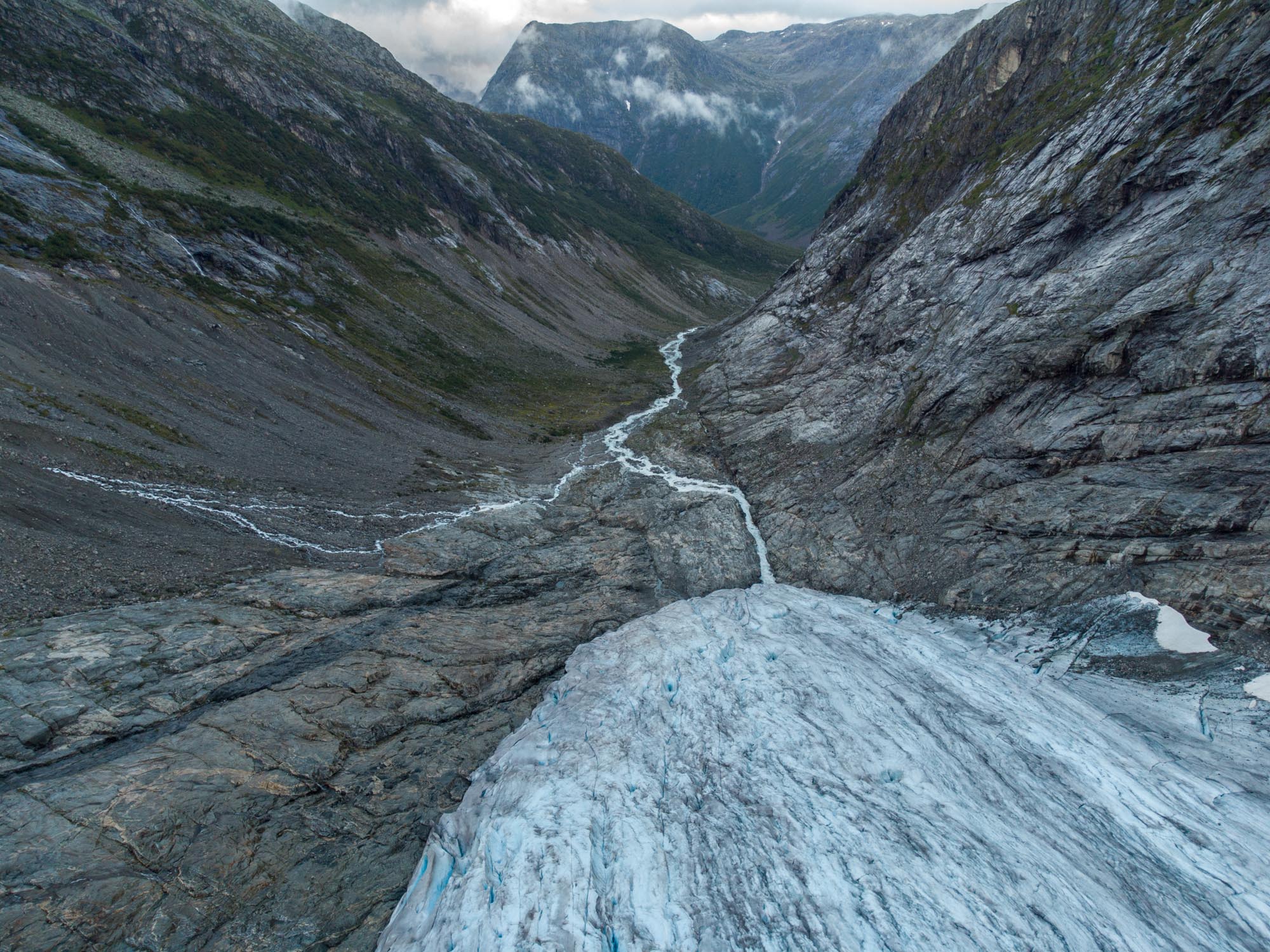
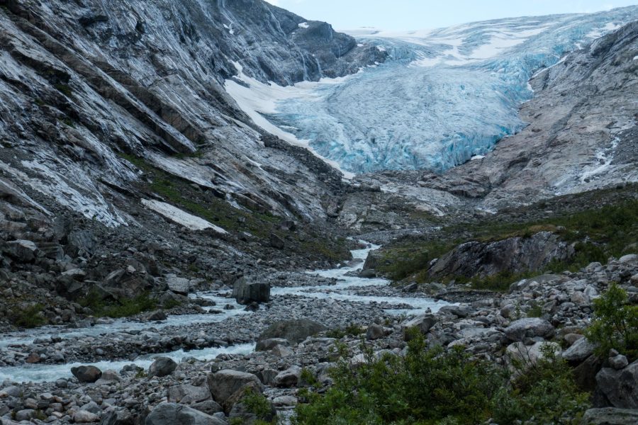
The footpath to the front of the glacier crosses multiple debris cones, eroded from the moraine during rain and melt events. Together with the small streams and bushes they make for an adventurous walk, especially on rainy days. While the path used to end no more than 100 m from the snout, it has become much harder to get up close due to glacial retreat. But the narrow, elongated snout with blue hues is also admirable from a distance.
Search within glacierchange: