Krundalen, a valley east of Jostedalsbreen, hosts two outlet glaciers: Tuftebreen and Bergsetbreen. Going to the latter requires passing the first. Nowadays that’s no problem at all, but two centuries ago Tuftebreen was a big obstacle.
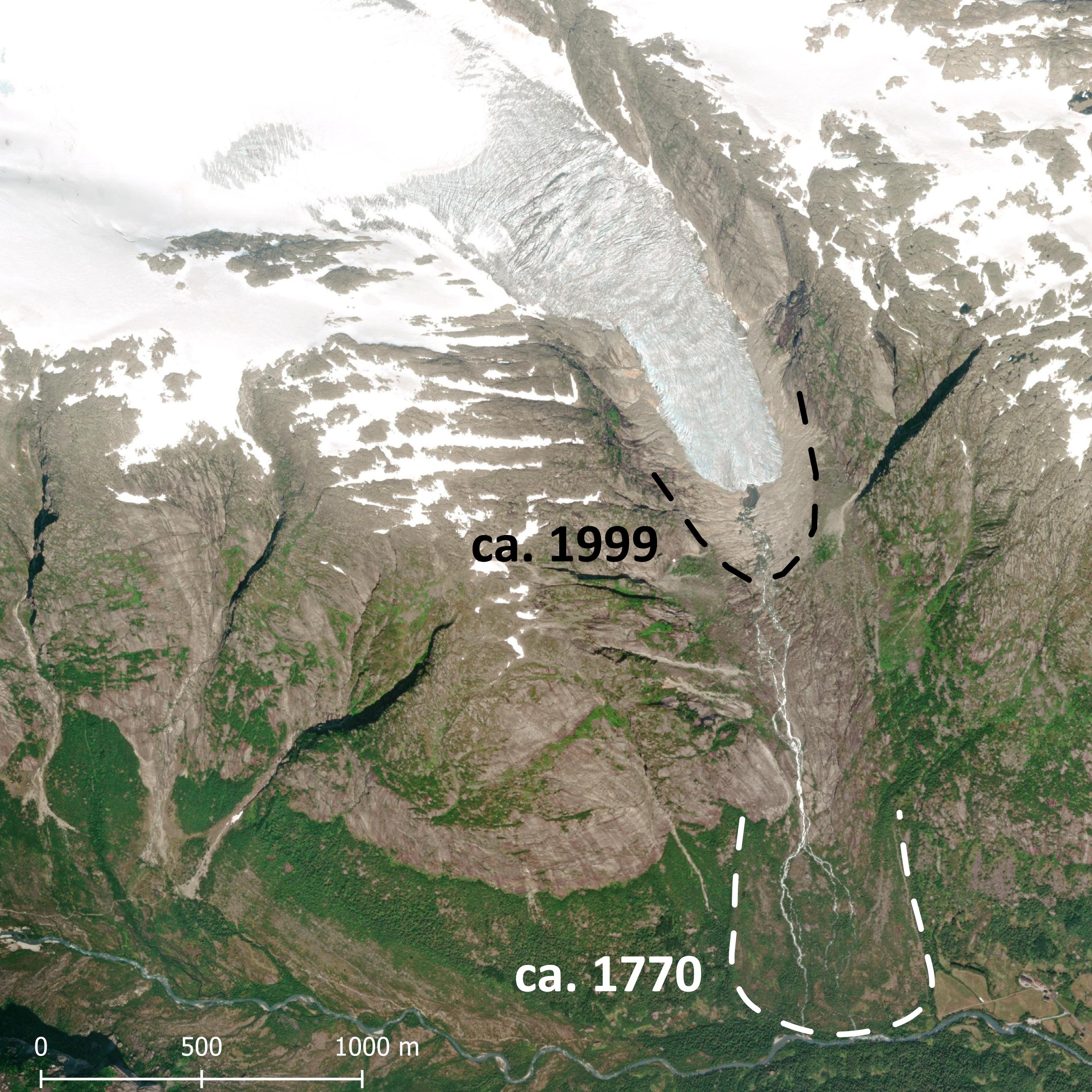
Research on lichens shows that Tuftebreen reached its maximum extent around 1770 (Bickerton and Matthews, 1993). The glacier, which was called Tverrbreen back then, reached all the way to the valley floor and halted just before it would crush Bergset farm. Although the buildings were spared, the glacier did destroy pastures. Therefore, the farmers were given tax reduction in 1742. Witnesses told at this occasion that the glacier was still confined to the Tufteskaret high above the valley when they were young, about fifty years before (historielaget Jostedal.no).
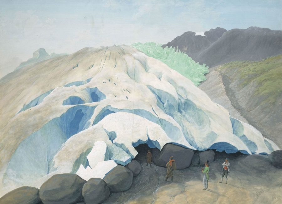
Besides misery, the glacier also brought beauty. Artist Johannes Flintoe (1787-1870) came to Krundalen in the first quarter of the 19th century and made two paintings of the valley. The first one depicts Krundalen with Bergsetbreen in the far distance (mistakenly called Bøyumbreen) in 1822 and another of the snout of Tuftebreen in 1826. From this painting, it looks like Tuftebreen at the time was forming a new moraine, based on the large boulders at the glacier margin. In the background Flintoe depicted the outer lateral moraine of ca. 1770.
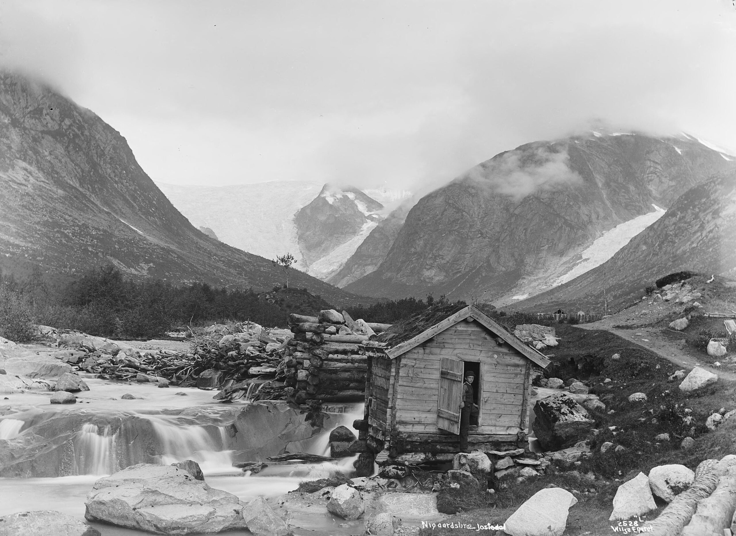
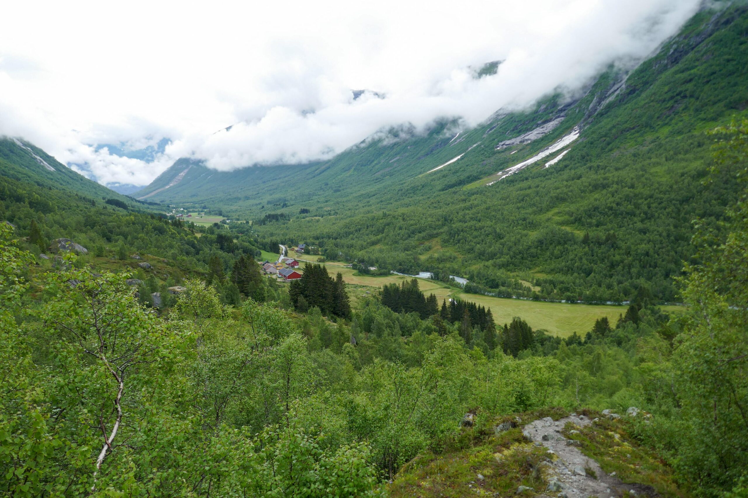
It wasn’t long before the first picture of Tuftebreen was taken. Axel Lindahl (1841-1906), a photographer from Sweden who was very attracted to Norwegian glaciers, visited Krundalen in 1880-1890. He captured a water mill at the start of the valley with the lower part of Tuftebreen in the distance. When Axel was there the glacier didn’t reach the valley floor since ten or twenty years (Bickerton and Matthews, 1993). In the first half of the 20th century the glacier receded further, as is illustrated by two photos that were taken from the same position in 1903 and 1959.
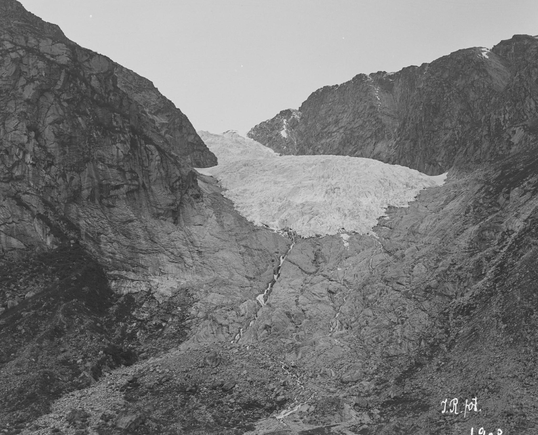
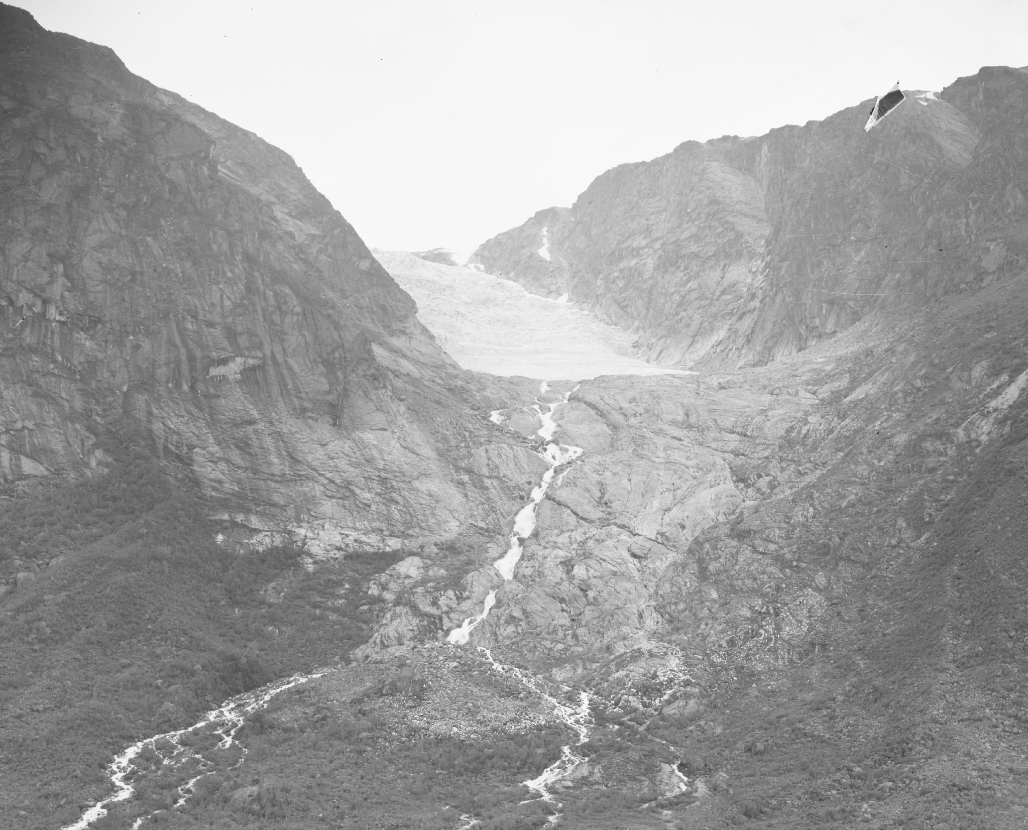
Tuftebreen in 1903 (links) and 1959. Photographer: John Bernhard Rekstad, collection University of Bergen Library (1903) and NVE Fotostrøm (1959).
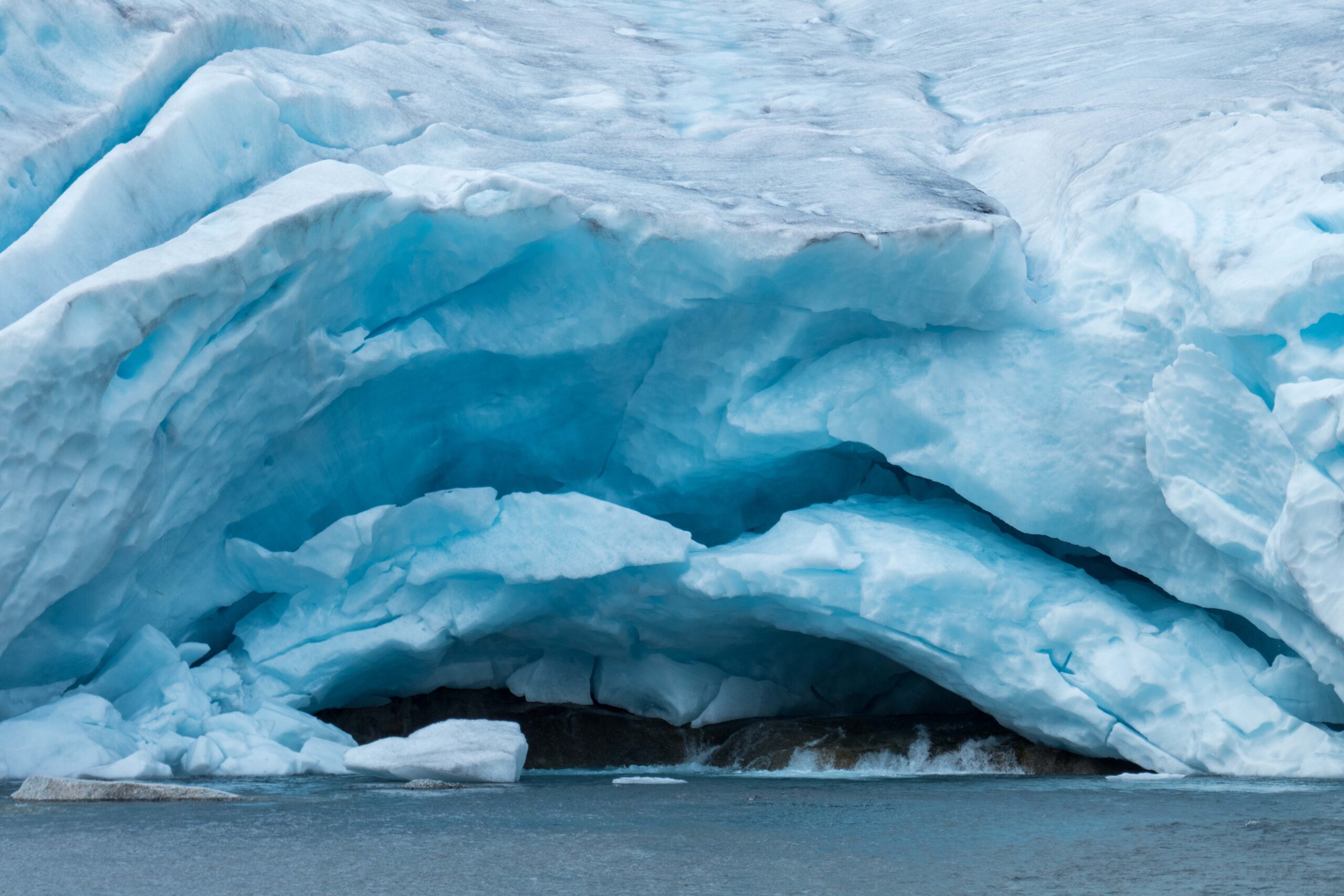
Just like its neighbors Bergsetbreen and Nigardsbreen, Tuftebreen started to advance again in the 1980’s, but nobody kept track of these changes. Still, the extent of Tuftebreen at the climax of its advance at the end of the 1990’s is evident from a sharp contrast between the vegetated (where the glacier was) and unvegetated valley floor. Since the turn of the century the glacier recedes by tens of meters a year. Currently the snout is quite flat has a nice meltwater tunnel, but upstream the valley has a steeper incline.
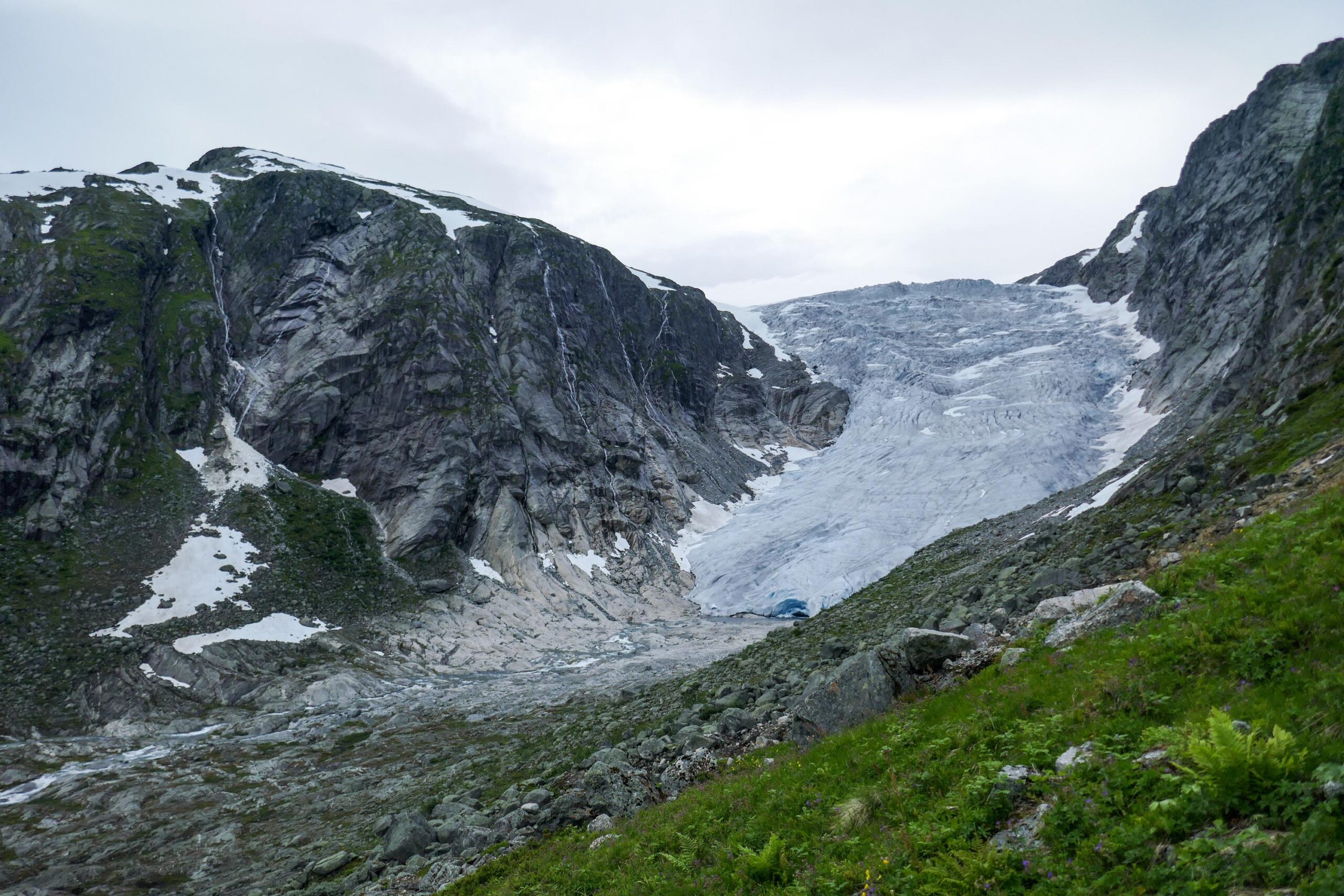
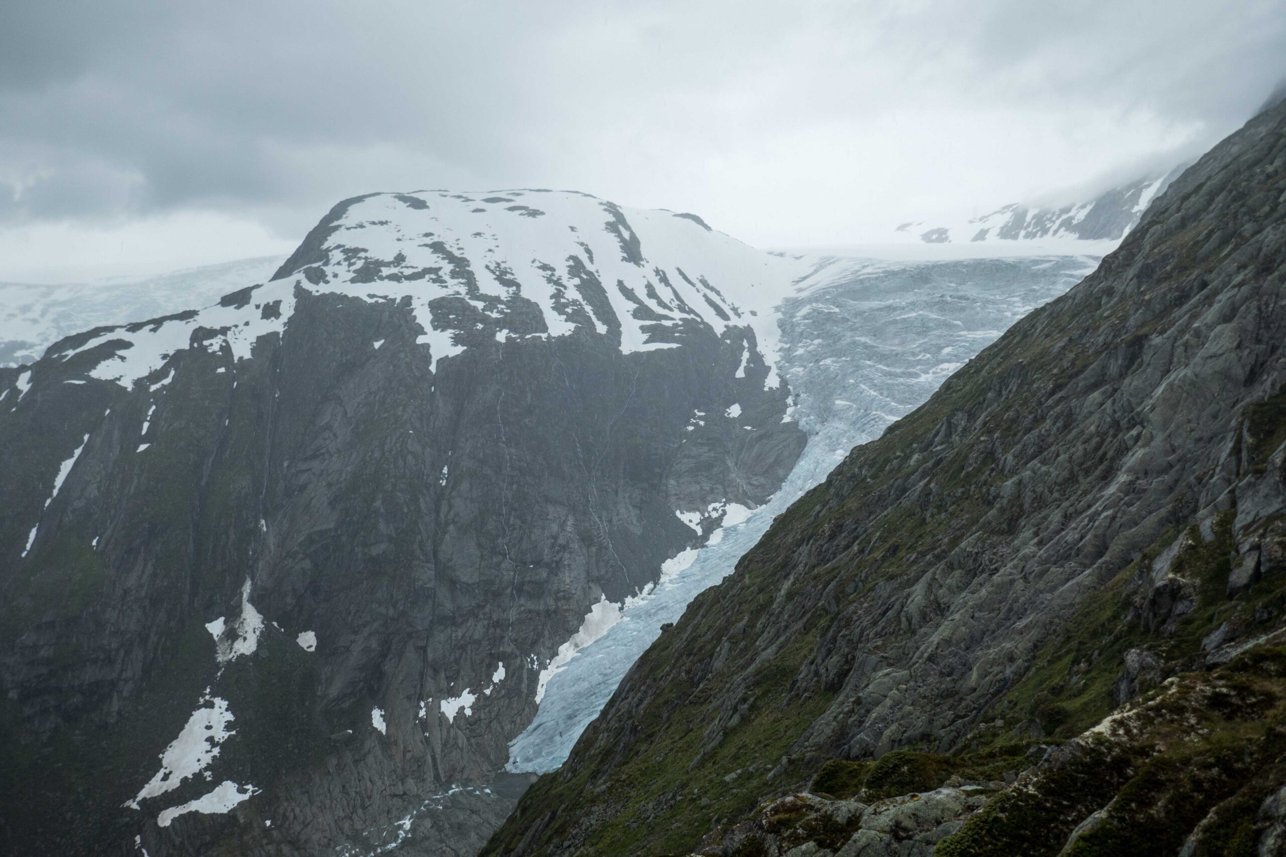
When hiking to Tuftebreen you encounter the different stages of the glacier. The parking lot is close to Bergset farm, which was very close to the glacier two centuries ago. Two hundred meters upstream the farmland changes into a forest littered with boulders, brought here by the glacier. This is where the trail goes up the old side moraine that was formed in the 18th and 19th century. It climbs 400 m and brings you to Tufteskardet, the hanging valley where Tuftebreen has been for the past century. Walking to the glacier snout you first pass bushes and other plants, but 500 m before the ice the ground suddenly is unvegetated. It delineates the glacier extent of around 1999.
Search within glacierchange: