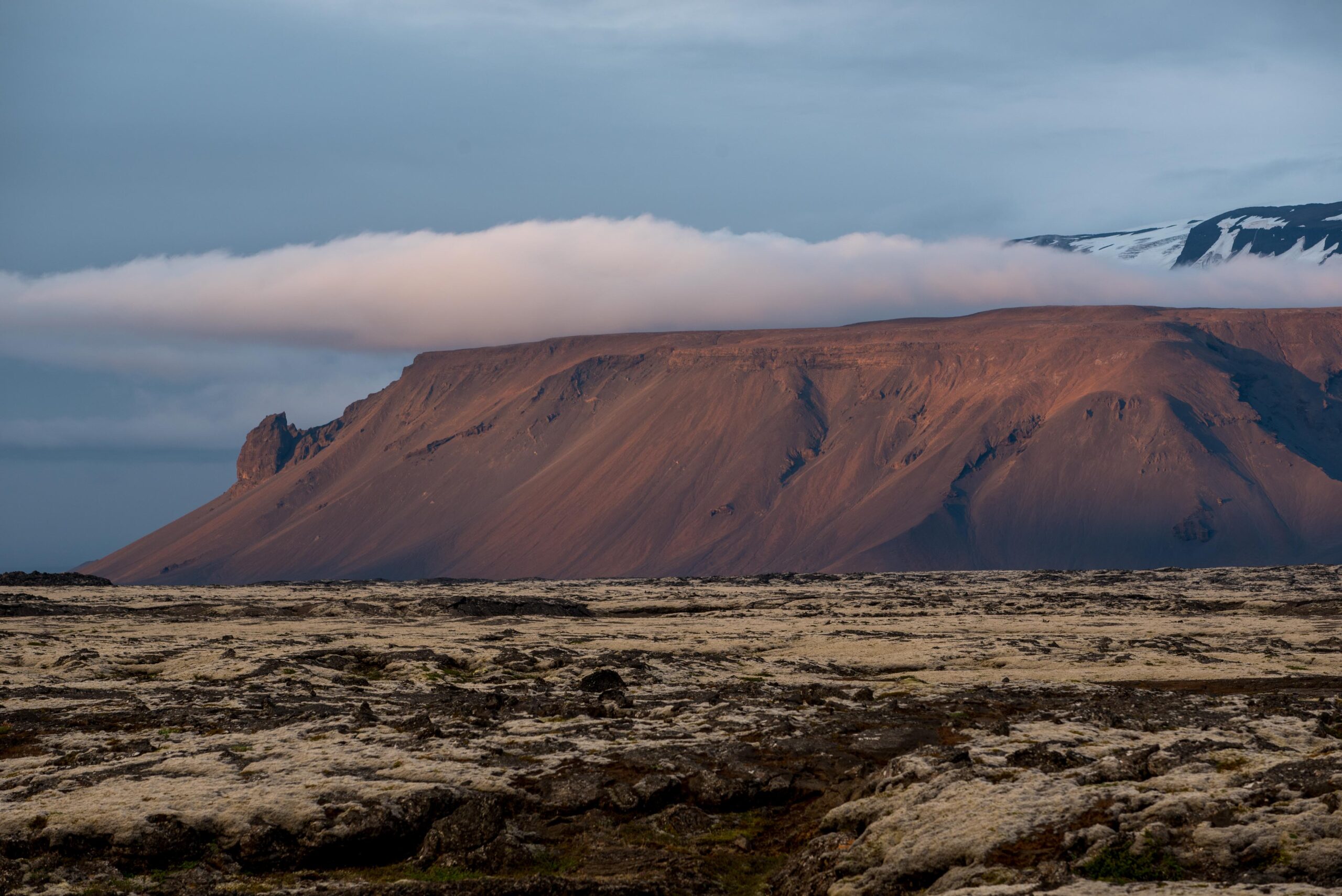
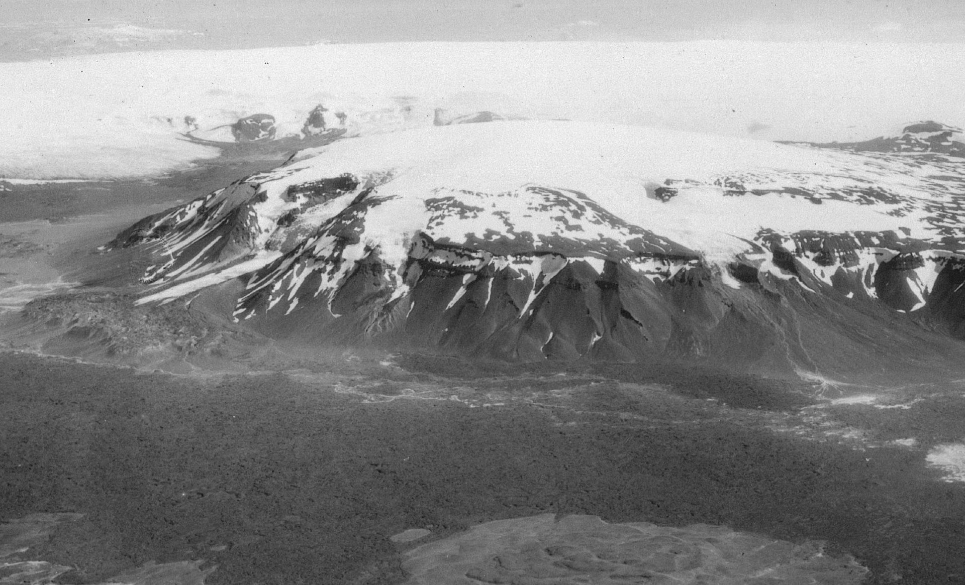
Iceland has many table mountains, which are high, isolated volcanic plateaus also known as tuya’s. On top of Iceland’s largest tuya sits Eiríksjökull, a plateau icefield.
The tuya or table mountain underneath Eiríksjökull was formed by subglacial volcanic activity during the last ice sheet glaciation of Iceland, which ended 12.000 years ago. A the time the Iceland was covered by an ice sheet up to several kilometers thick. Volcanic eruptions melted the ice from below, forming hollows where lava collected. The flat top of Eiríksjökull-tuya reveals that the eruption(s) producing the mountain have broken completely through the ice sheet.
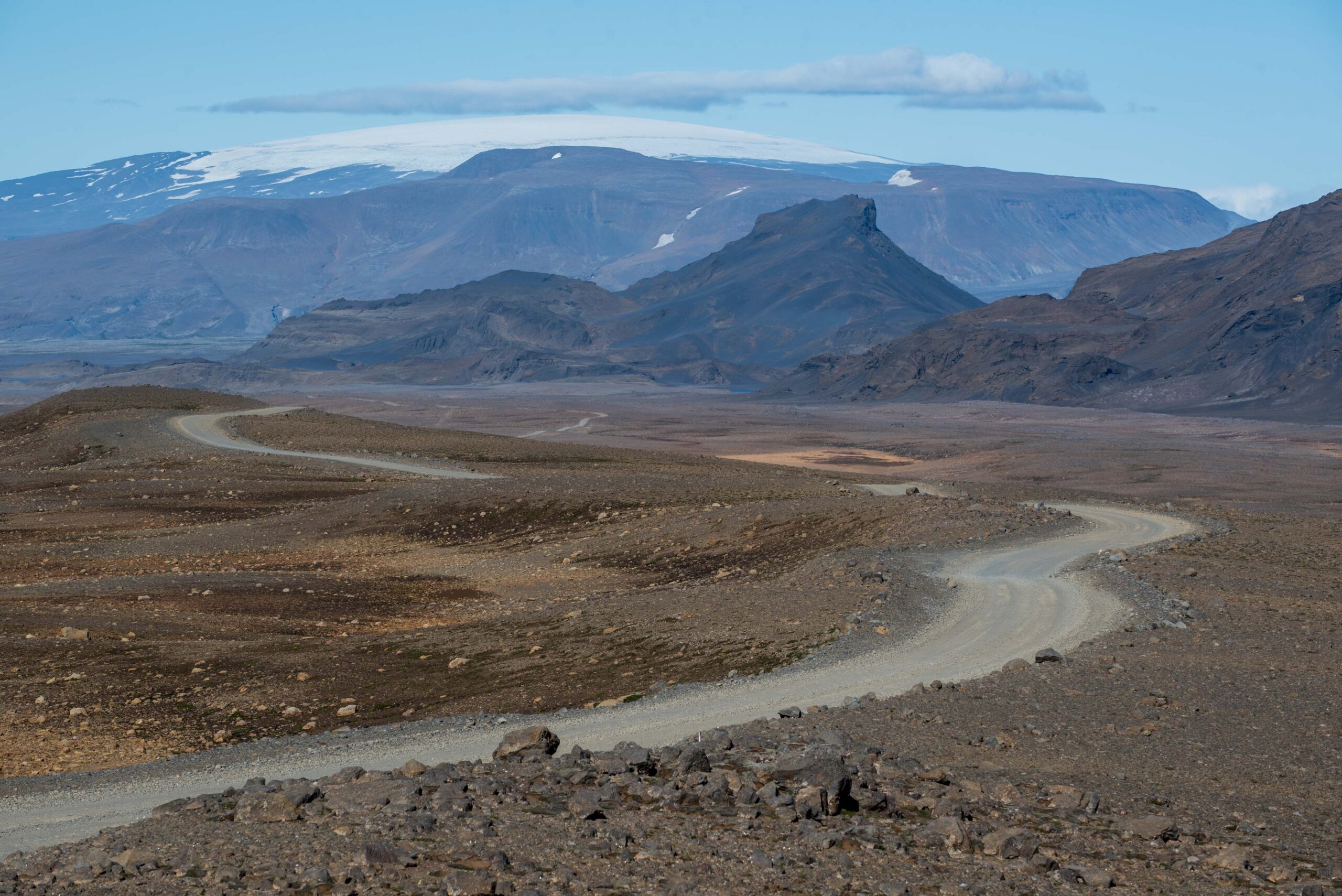
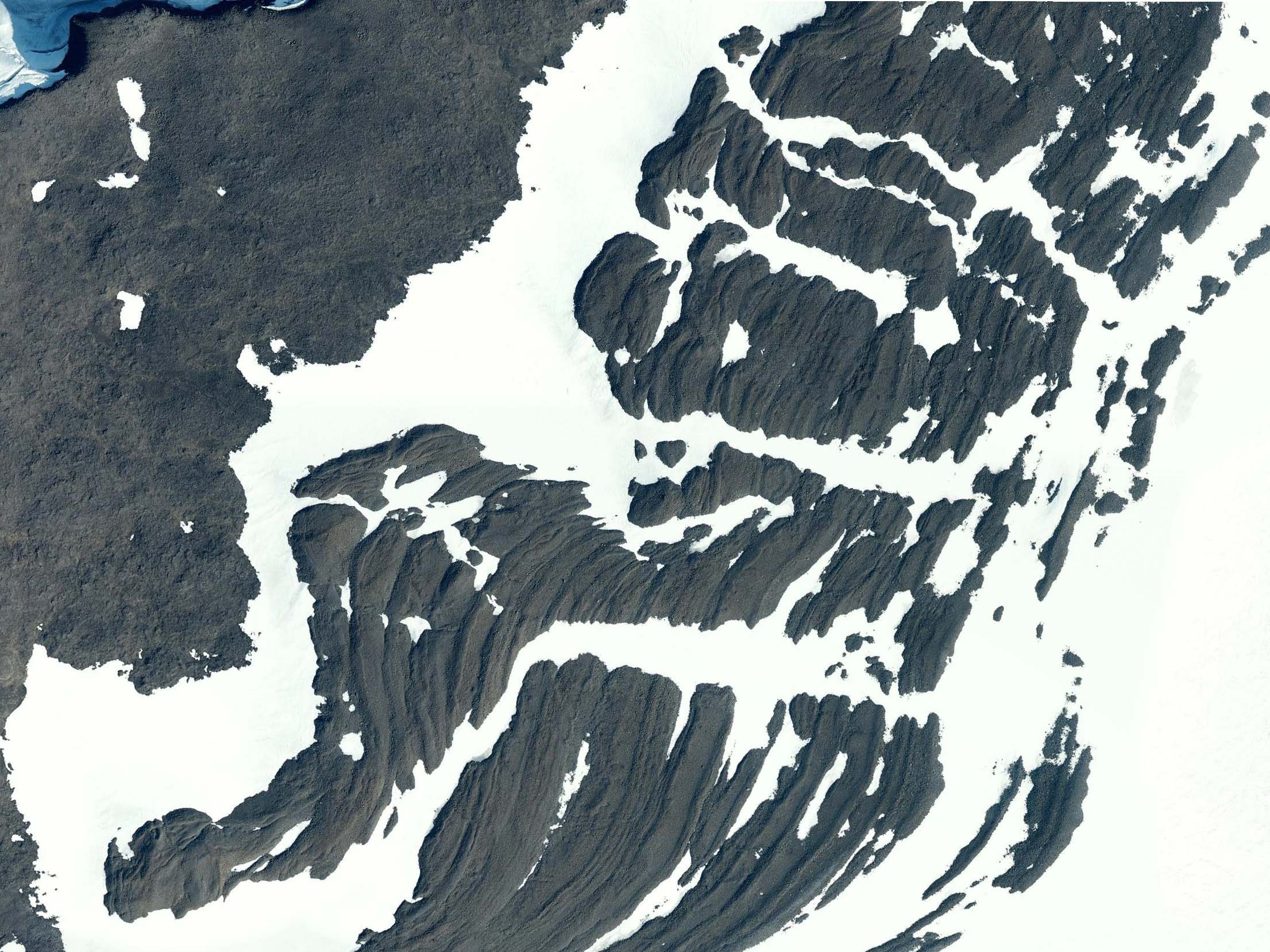
The top of Eiríksjökull is 1700 m high, of which the upper 200 m consists of ice. Although the summit ice dome flows out in all directions, it only forms outlet glaciers to the (shaded) north and northwest. To the south, the glacier margin is composed of a series of rare controlled moraines, meaning they are formed by bands of supraglacial material and are ice-cored. And because there are no mountain slopes to derive debris from, the moraine material must be from basal freeze-on (Evans et al., 2016). This process requires the glacier to freeze to its bed, and Eiríksjokull is one of only few places in Iceland cold enough to facilitate it.
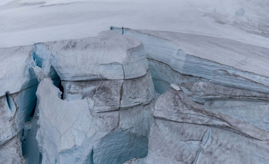
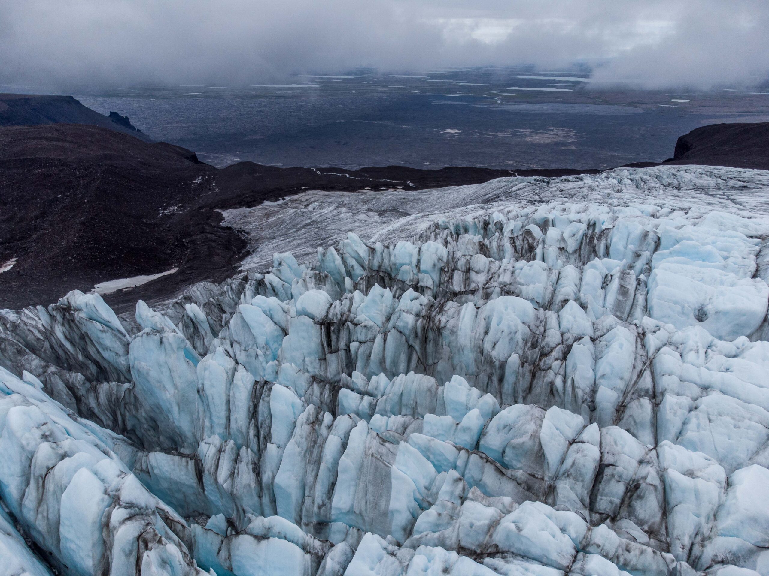
In the North there are two outlet gaciers; Brækur flows in a northwesterly direction, Klofajökull northeastward. The latter has impressive moraines but is covered by debris and lost its connection to the ice dome in 2011. Brækur is still connected to its upper part and the ice contains much less debris, thanks to the lack of erosive slopes on its way down. This doesn’t mean the ice is crystal clear, though, as in Iceland there will always be some ash.
Brækur nowadays stops a few hundred meters before it would plunge down Eiríksjökull’s steep sides, like the glacier did in the past and even at the start of this century. But never was the glacier more extensive than around 1880, as demonstrated by Guðmundsson. He used a technique called lichenometry, in which moraines are dated by measuring lichens growing at them, to date the outer moraine at ca. 1880 (Guðmundsson, 1998). Back then, the glacier ended at 550 meter above sea level, whereas it now terminates 500 meters higher on the flat part of the table mountain.
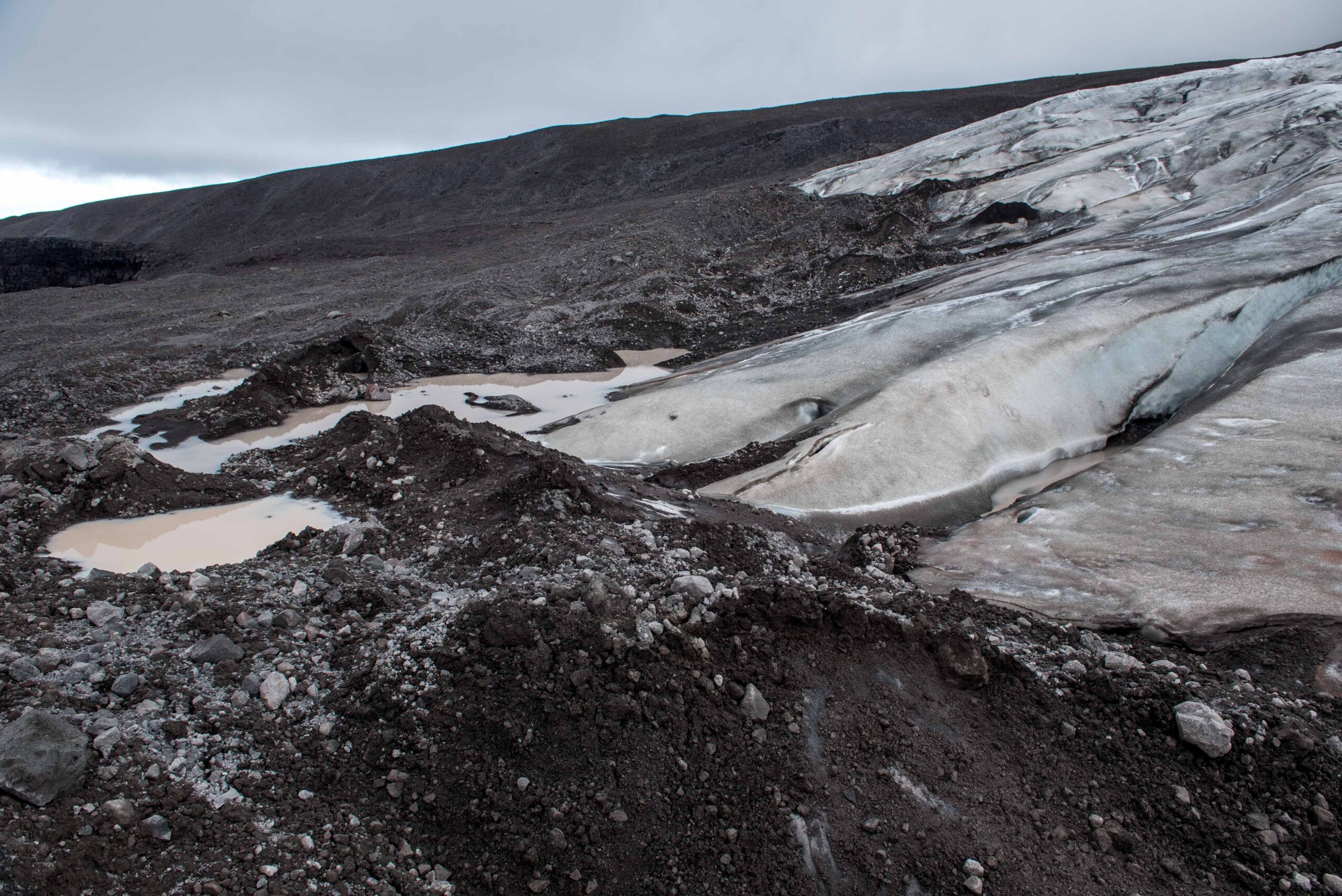
Eiríksjökull experienced minor readvances in the 1960’s and strong retreat in the twenty-first century. But while most parts of the ice field continue to shrink rapidly, Brækur is actually more or less stable. This has resulted in a new composite moraine, where the glacier keeps pushing up new sediments. The moraine is partly ice-cored, meaning it’s hard to say where the glacier ends and the ice-free terrain starts. What may look like a pile of gravel often is a cone of ice protected from the sun by a thin layer of gravel and sand.
It is remarkable that Brækur is able to sustain the same length over a decade while the climate is warming. Even the top op Eiríksjökull is sometimes completely deprived of snow, meaning there is not a single spot on the entire ice field were glacier ice is being created. That’s why there is no doubt Brækur is going to recede in the near future. And in the end, the whole of Eiríksjökull will be freed from ice. Only this time, it won’t surrounded by an ice sheet.
Search within glacierchange: