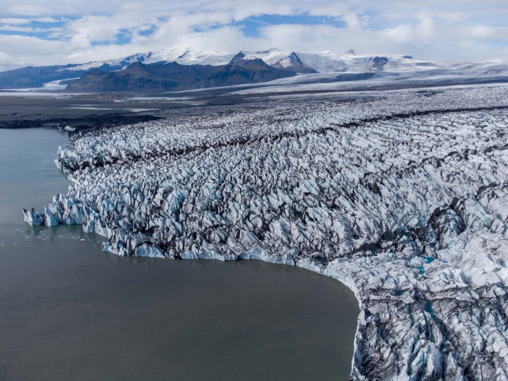
Breiðamerkurjökull is the second largest outlet glacier in southern Vatnajökull. The 13 km wide glacier is renowned for its calving front and large icebergs that drift in the huge proglacial lake Jökulsárlón.
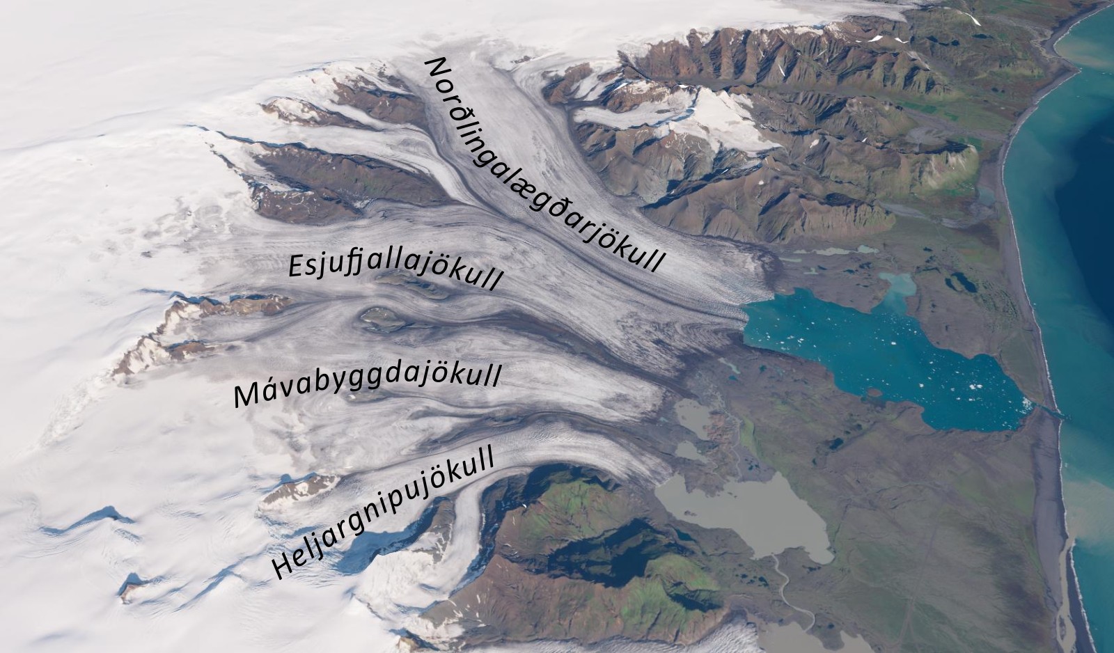
Breiðamerkurjökull consists of four glacier streams, which are separated by three distinct medial moraines. Two of the medial moraines even have their own name, a unique feature. The middle one is called Mavabyggdarönd, the eastern one Esjufjallarönd. Both names are derived from nunataks (summits protruding from the ice) 10 to 25 km upstream from the glacier margin. The western one lacks a name.
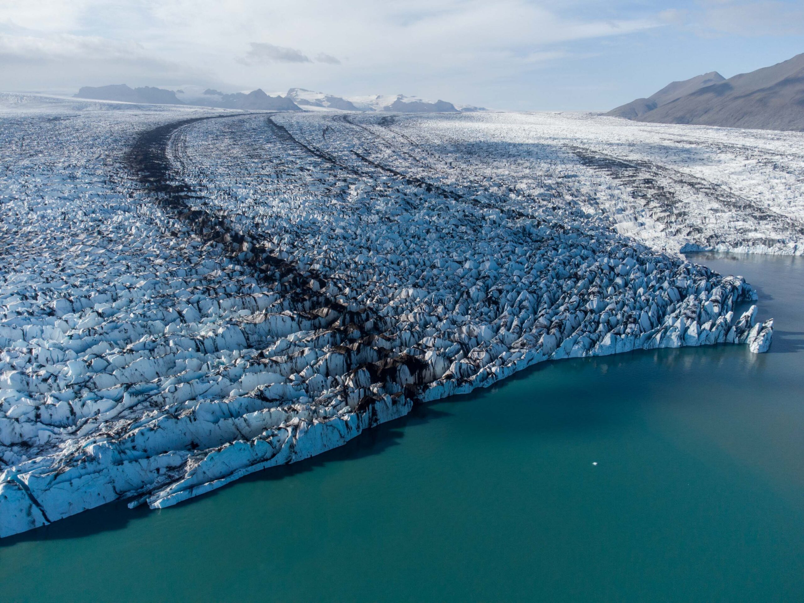
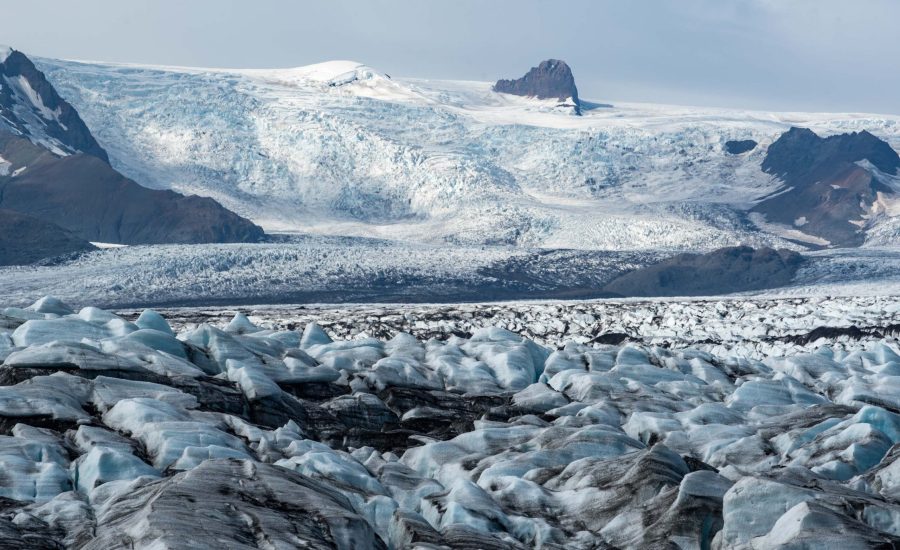
Of the four glacier lobes, only the westernmost one (called Heljargnipujökull) is fed by Öræfajökull. Starting at the northern slopes of Öræfajökull, this glacier has a steep icefall between 1300 and 800 m. It then passes the Breiðamerkurfjall mountains to the north, makes a southerly turn and terminates in a lake 9 km down-glacier from the icefall.
The lake in which the western lobe terminates is called Breiðárlón. The southern tip of this lake became exposed due to glacial retreat in the 1930’s and by now, Breiðárlón is 4 km long and up to 2 km wide. The retreating glacier not only uncovered a lake, it also made one disappear. To the west, the glacier dammed a valley in the Breiðamerkurfjall mountains. The valley was appropriately called Jökuldalur (Glacier Valley). It used to fill with meltwater and must have drained frequently, probably every summer. But as the glacier thinned, so did the dam. Based on (aerial) photos, the lower part of the valley still acted as a meltwater basin in the 1990’s and must have stopped functioning as such in the early 2000’s.
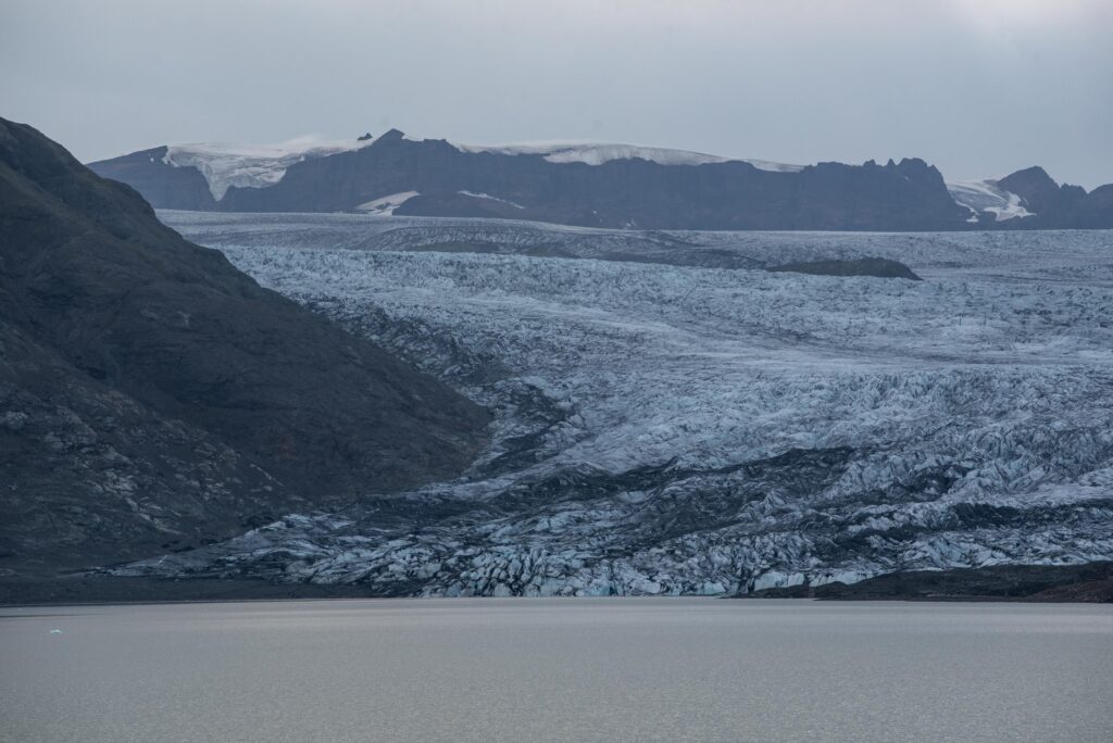
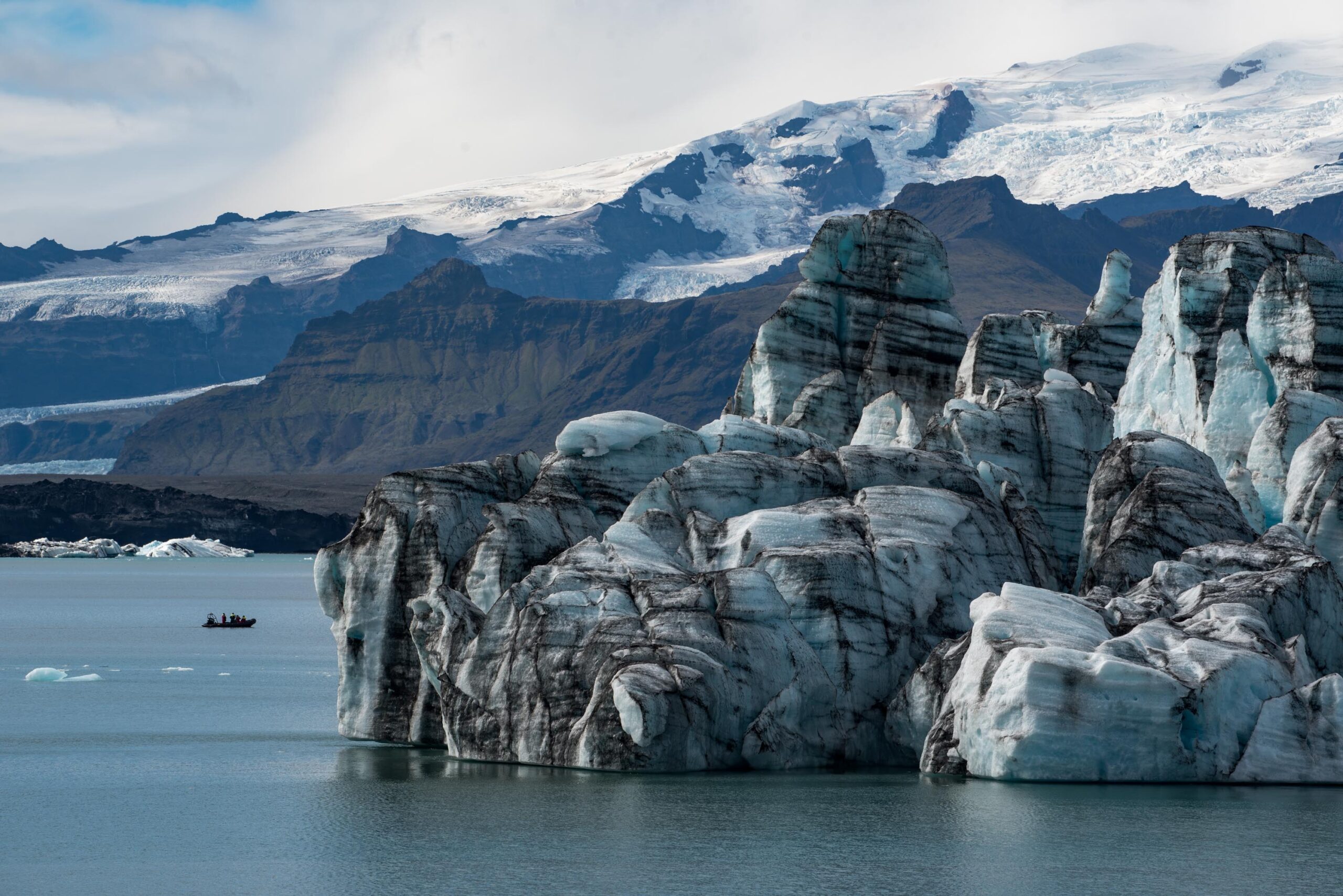
The other three glacier streams all flow from the Vatnajökull ice cap. From west to east these are Mávabyggdajökull, Esjufjallajökull and Norðlingalægðarjökull. The eastern ice flow Norðlingalægðarjökull is the largest and correspondingly has eroded its bed deeper than the others, forming a trough 25 km long. The ice in it is up to 900 m thick and reaches a depth of 300 m below sea level (Björnsson, 1996). The eastern and middle ice flow terminate in a lagoon that partly occupies the trough. Huge icebergs calve into the lake, making this the most famous part of Breiðamerkurjökull and a must-see for many tourists.
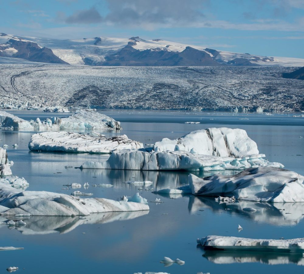
Initially, the trough that now holds the glacial lagoon Jökulsárlón was formed in the Ice Age. Back then, Iceland was covered by a thick ice sheet and a much bigger predecessor of Breiðamerkurjökull carved out a trench in the continental shelf, extending 70 km out to sea. In the course of the last 10.000 years, the trough filled with sediments. When the first Norse settlers arrived here around the year 880, they called the area Breiðamörk or ‘wide woodlands’. For centuries, people and their farms could thrive in the grassy fields and woodlands. Glaciers were 10-15 km smaller than presently.
The eruption of Öræfajökull in 1362 marked a turning point in the history of the area. Tephra ash covered the prairie, which made life on the Breiðamörk a constant struggle. The eruption coincided with the onset of a climate deterioration (cooling) that caused the glaciers to advance. In creeping forward, the Breiðamerkurjökull destroyed lands and re-excavated the through that was filled with sediments before. Around the year 1700 most farms had been abandoned and between the early 1700’s and the late 1800’s the glacier advanced another 9 km. By then, the glacier had ploughed its bed hundreds of metres below sea level and almost reached the ocean (Björnsson, 2017:437).
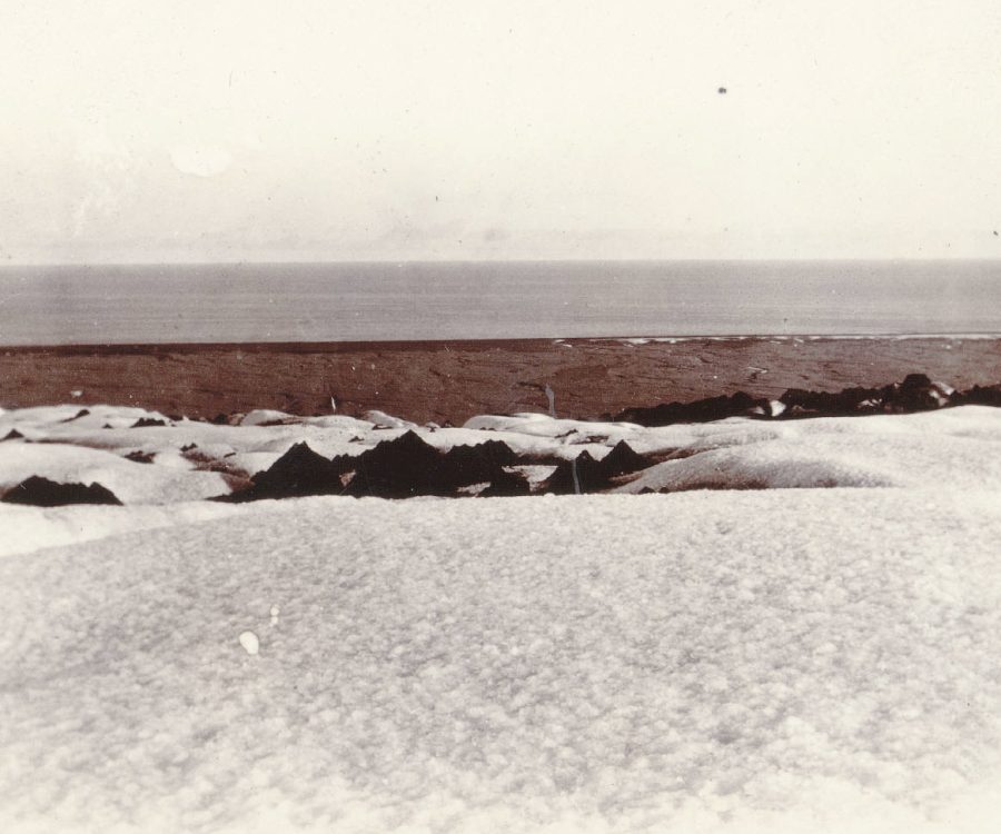
Breiðamerkurjökull reached its maximum extent in 1894. Local farmers feared the glacier would reach the sea and thereby cut off their route over the strip of land between the glacier and the sea. But it didn’t, although passing along the front of Breiðamerkurjökull was hazardous nonetheless (Björnsson, 2017:460). Crossing the central and largest river, Jökulsá, was a ‘’very trying experience for guides attempting to find a shallow, meandering ford across it while avoiding boulder-strewn beds, swift currents, floating icebergs, deep channels and quicksands’’. Alternatively, livestock and people sometimes were guided over the glacier itself, where a route was marked by wooden posts. Jökulsá was finally bridged in 1967 (Björnsson, 2017:437).
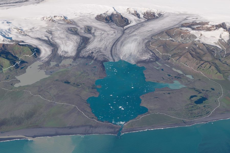
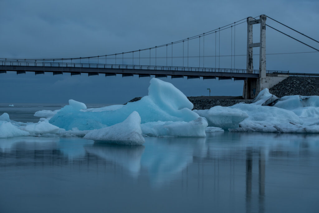
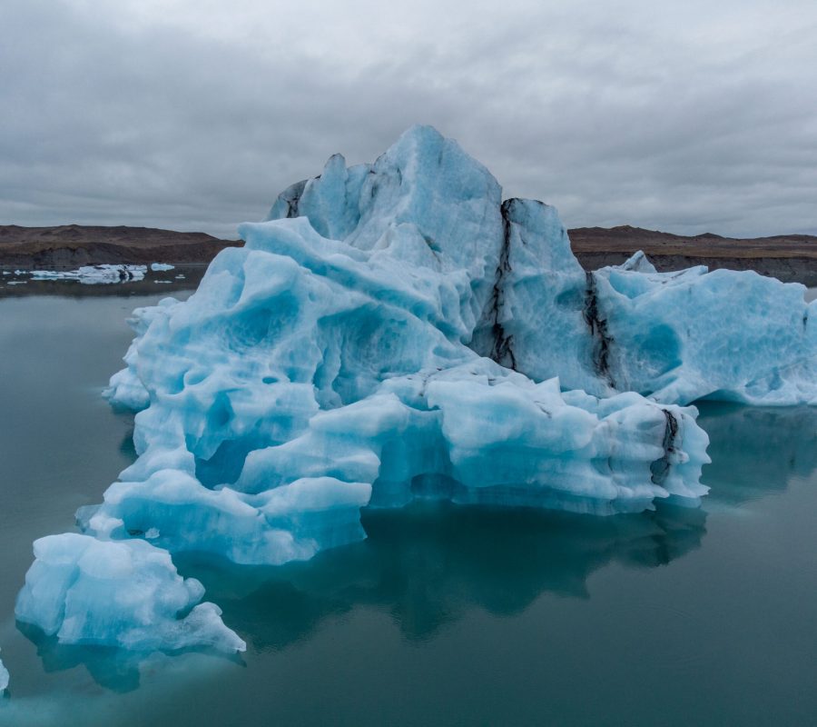
During its advance, meltwater of Breiðamerkurjökull gushed out all over the plain. The water was brown, as the glacier ploughed its bed. Huge quantities of sediments were transported to the sea. In the end, the snout lay right up to the moraine. But at the start of the 20th century, the glacier started to recede and a lake appeared. It grew larger year by year and more and more meltwater rivers drained into it. Since 1992 all meltwater passes through Jökulsárlón lake, which also means that all water passes the short (600 m) and channel-like Jökulsá to sea. The river and the lake are crystal clear nowadays, because sediments subside in the several hundred metres deep lake.
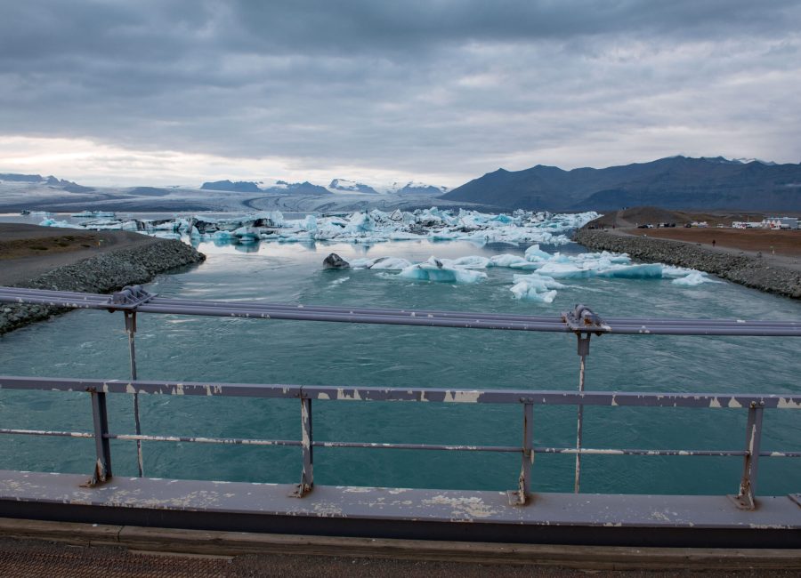
Some icebergs make their way through Jökulsá river. Once in the sea, waves redirect them to the shore, where the transparent icebergs look like diamonds on the black beach. Although its official name is Fellsfjara, tour operators promote the beach as Diamond Beach. The biggest ‘diamonds’ never make it to Fellsfjara though, because they are blocked by an underwater levee in Jökulsá river. This way, Icelandic authorities prevent them from eroding the bed (which may lead to the shoreline creeping closer to the main road) or damage the bridge. Most icebergs are therefore stuck in the lake.
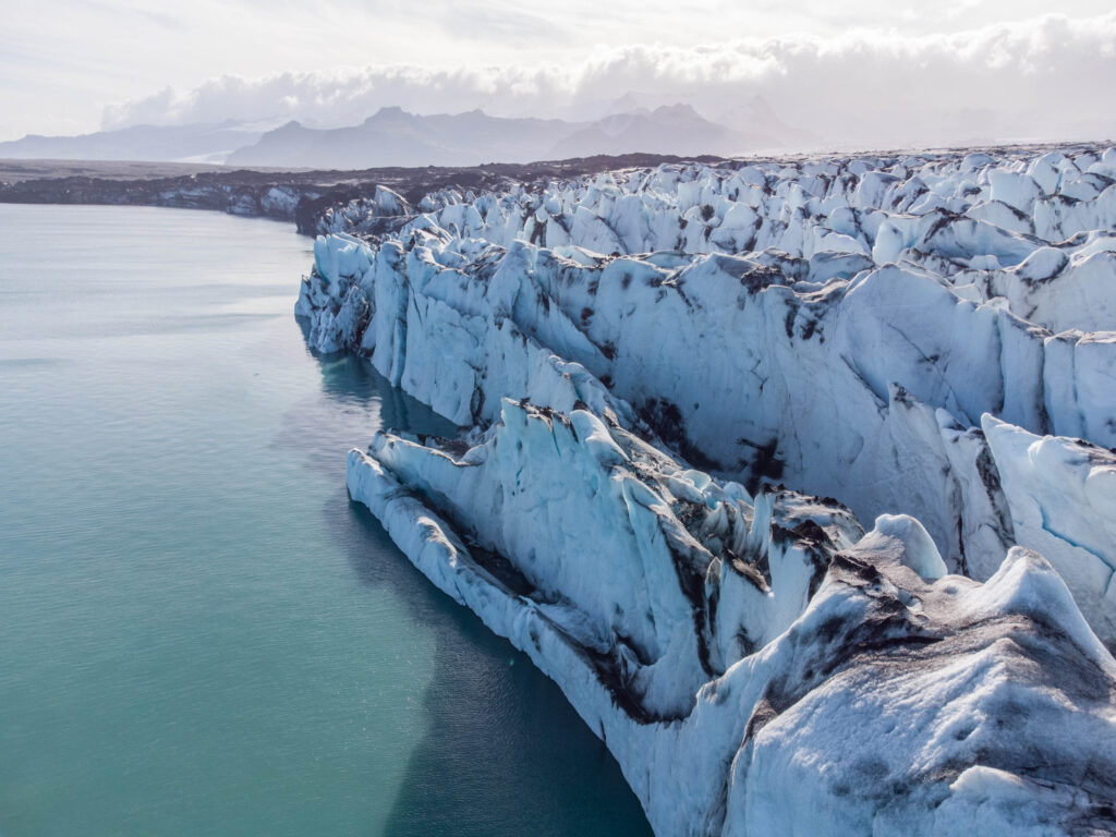
The speed at which Breiðamerkurjökull withdraws from its trough has increased recently. Before, the glacier was grounded in relatively shallow water. Until the early 2000’s, the eastern arm of the glacier that calves into Jökulsárlón had a flow velocity of about 1 m a day. But around the year 2008 the glacier accelerated to 3.5 m a day as it retreated into deeper waters. And as fast ice flow causes longitudinal stresses that create crevasses in return, it also leads to more calving and thus more ice loss and retreat (Baurley et al., 2020). The flow velocity at the calving terminus can be as much as 5 m a day, which makes Breiðamerkurjökull the fastest glacier in Iceland. In winter, the glacier calves less and the front creeps forward a bit (Voytenko et al., 2015).
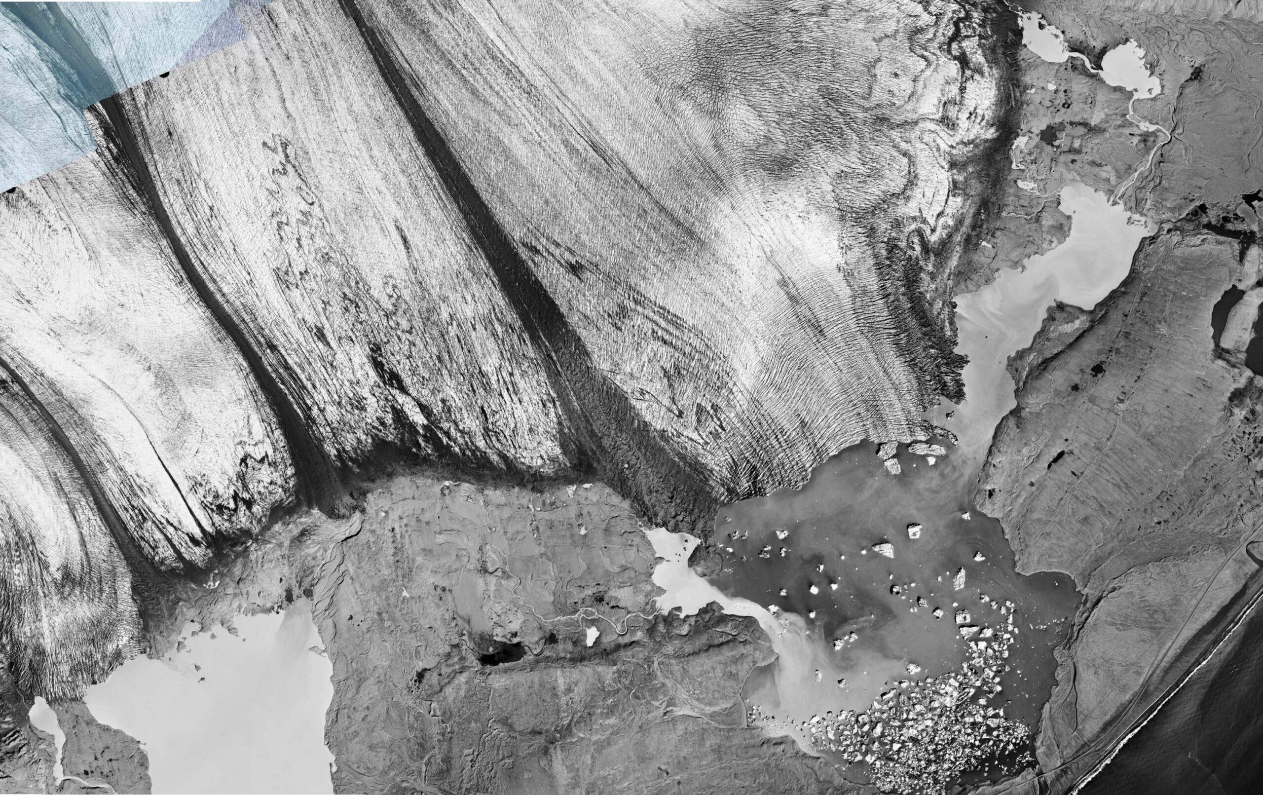
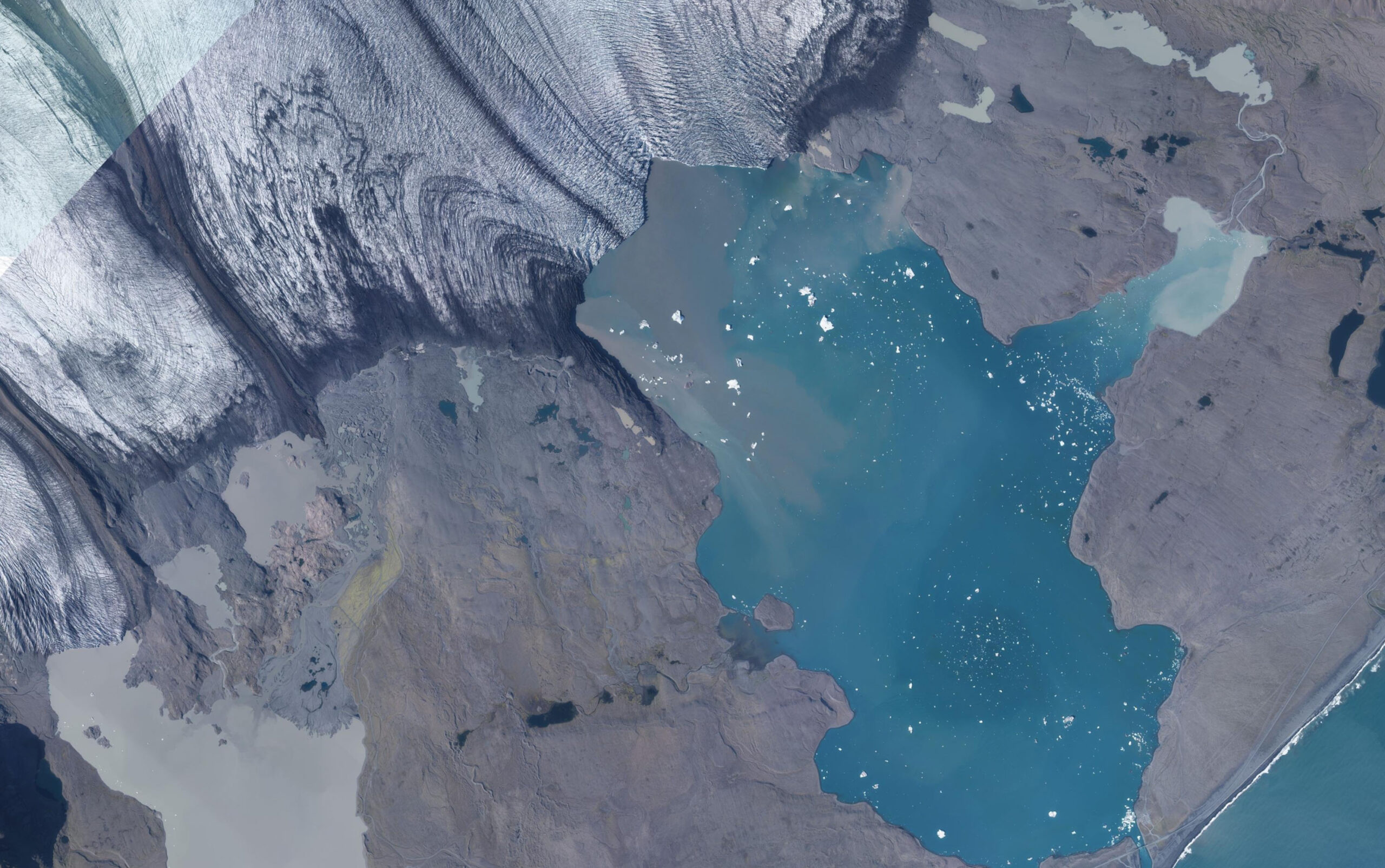
Orthophoto of Breiðamerkurjökull in 1998 (left) and 2021. Source: Landmælingar Íslands.
Besides the warming climate and the increased flow velocity, the expanding lake itself also speeds up the break-up of the glacier, because with every tide ocean water of 10°C flows into Jökulsárlón. The salt water is heavy and sinks to the bottom, but resurfaces at the ice front and melts the glacier from the base. When the lake was smaller, much less salt water was able to enter the lake and its temperature was subsequently lower (Brandon et al., 2017).
The retreating glacier isn’t only uncovering a lake. It also leaves behind a foreland with a large variety of glacial landforms. These include hummocky terrain (especially where the medial moraines once were), overridden push moraines (mainly in the eastern part, that used to surge), flutes, drumlins, recessional moraines and textbook examples of eskers (sub- or englacial meltwater channels that are filled with sediments to form a dam-like wall) . Practically all types of (sub)glacial landforms can be found at Breiðamerkurjökull, making it probably the most mapped glacier in the world (Evans and Twigg, 2002).
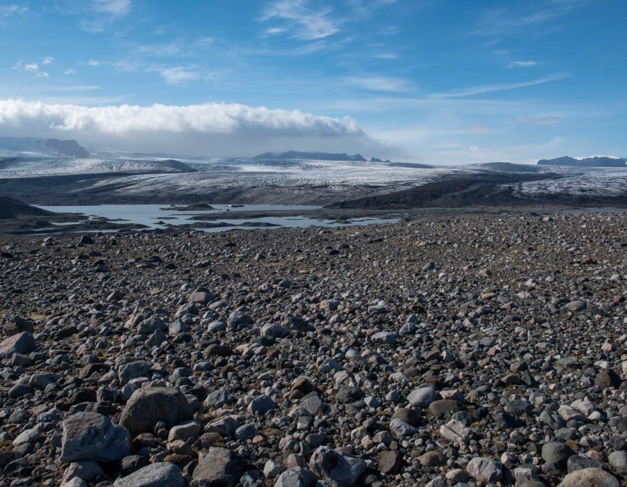
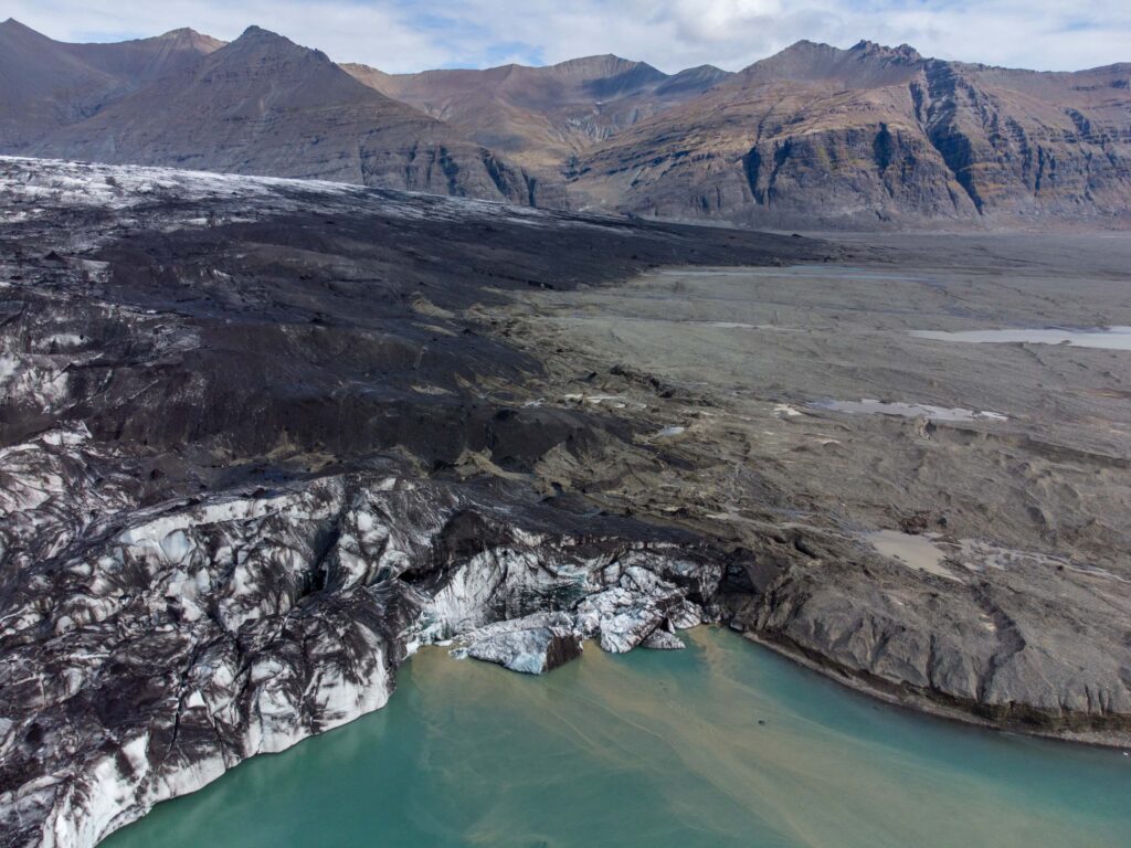
On average, the glacier has lost one square kilometer every year since 1890 and up to 200 m of its thickness, although the upper parts (above 1500 m) only saw minor changes. The disbalance between accumulation area and ablation area is increasing and a growing number of nunataks is protruding from the ice (Guðmundsson et al., 2017).
Breiðamerkurjökull now terminates 9 km from the sea. Even though the calving front is retreating into more shallow water, the glacier is likely so sustain present rates of ice-loss or even more. Luckily, the trough below the glacier continues for another 15 km, so there won’t be a shortage of icebergs in the near future. But at the end of this century, the glacier probably leaves its trough and the last icebergs will disappear.
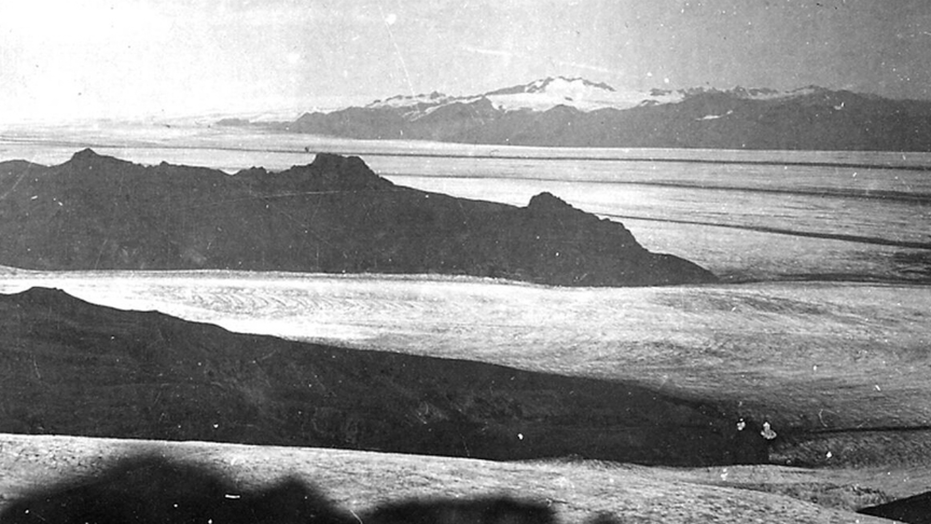
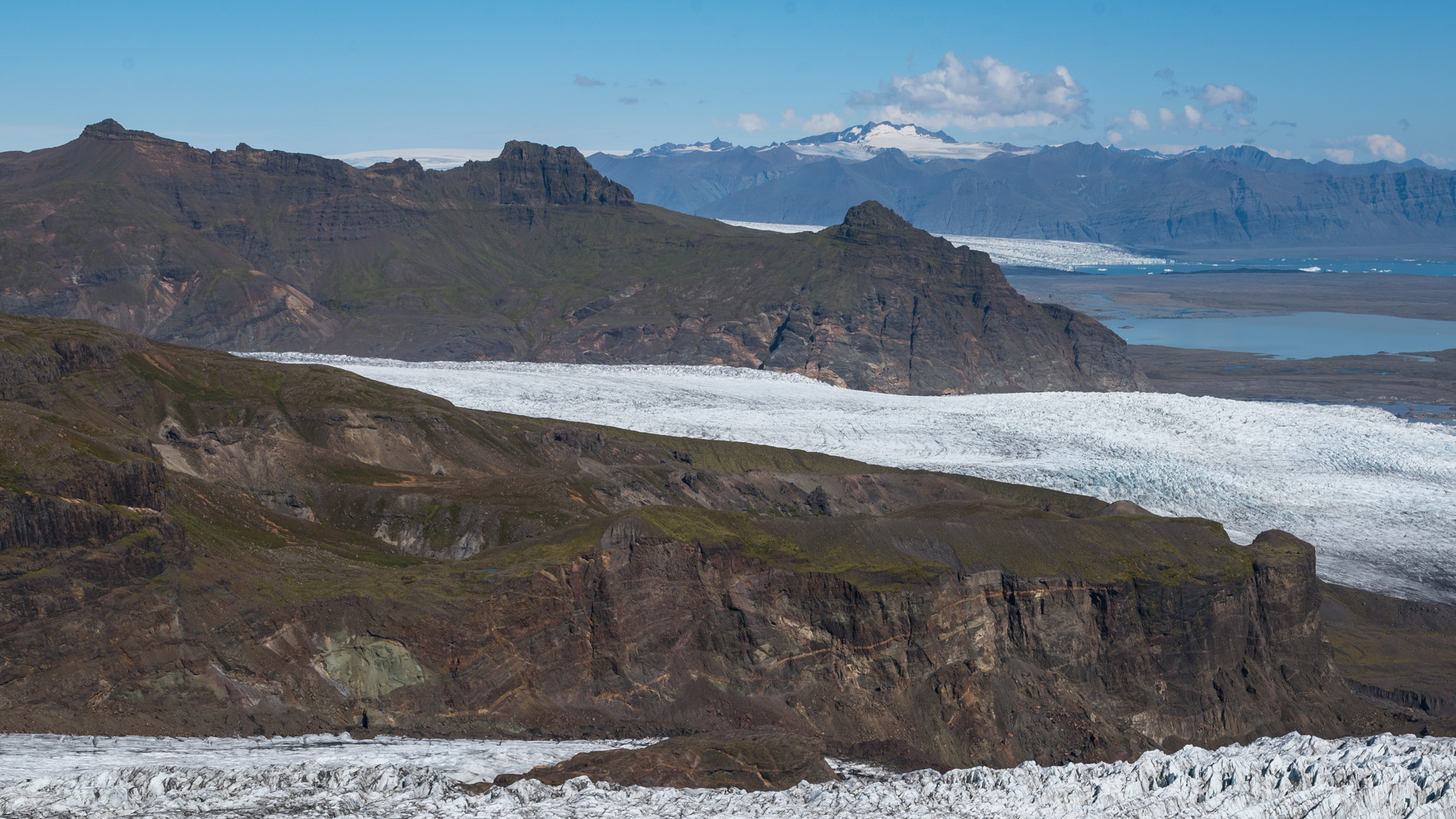
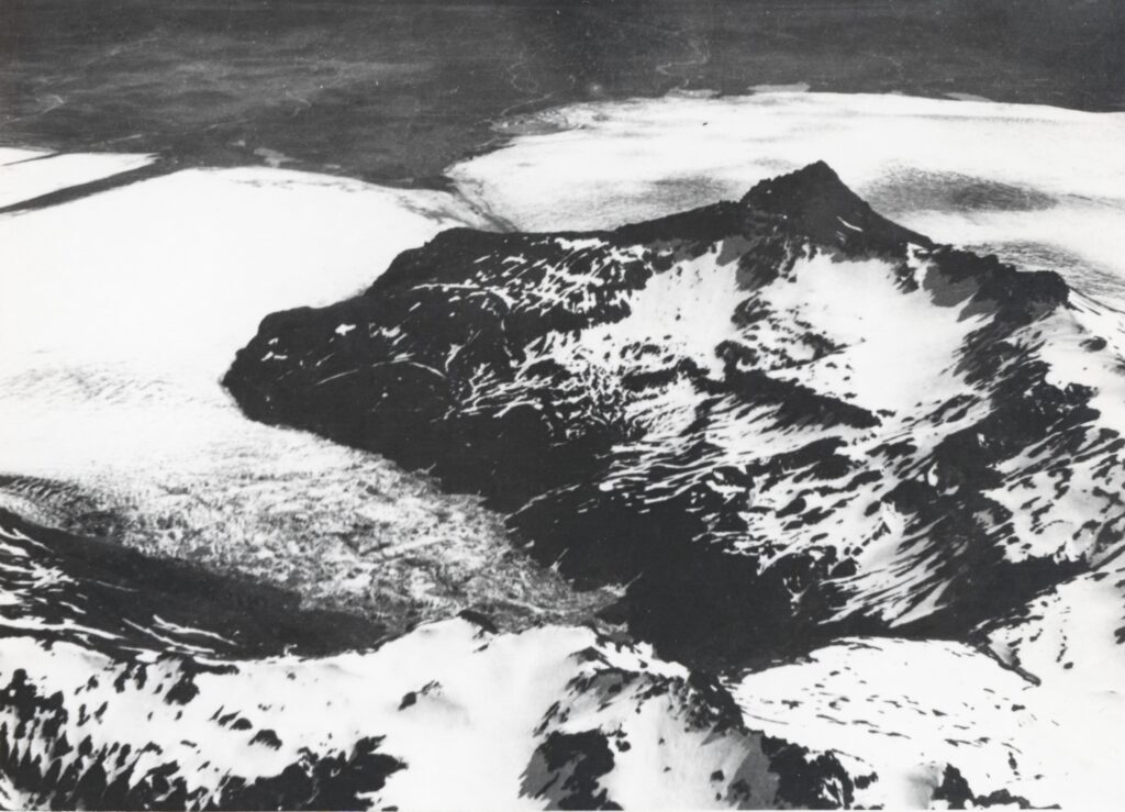
Breiðamerkurjökull (in the background) in ca. 1937 (left) and 2023. Viewpoint in 2023 was Múlahetta, in 1937 Rótarfjallshnúkur, 1.5 km further southwest and 300 m higher. Source 1937: icelandicglaciers.is.
Search within glacierchange: