Hafursárjökull is a south-facing outlet glacier of Mýrdalsjökull. Just like all other glaciers in southern Iceland Hafursárjökull advanced in the 1980’s and receded since then. But lately, the glacier is growing a little again.
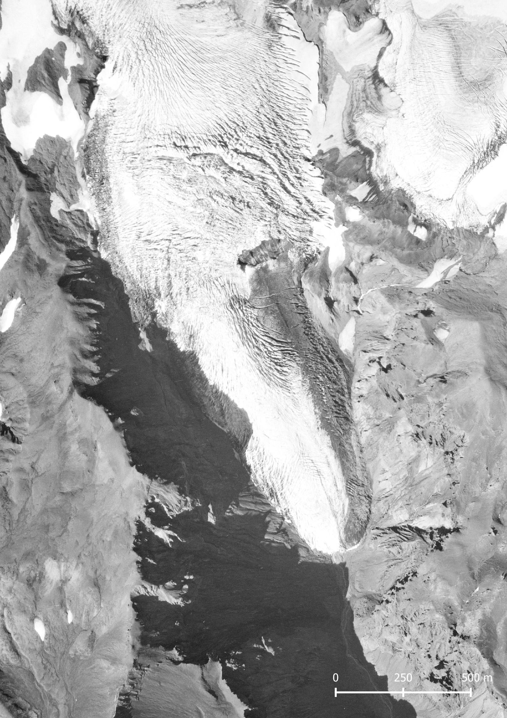
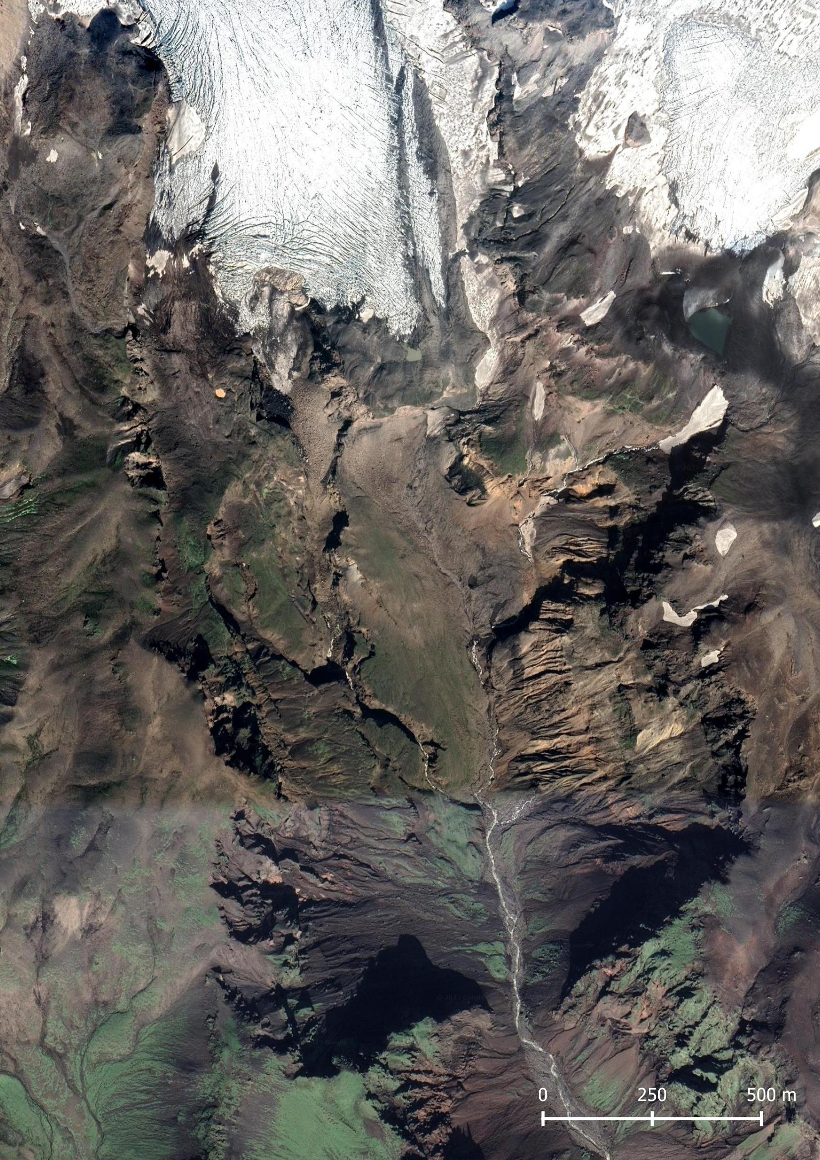
Hafursárjökull in 1984 (left) and 2019. Source: Landmælingar Íslands and Google Satellite.
Hafursárjökull begins at the crater rim of Katla, close to an elevation of 1500 meters and descents to 600 meters. At 800 m there is an ice cliff. The glacier lies in a remote location, far from footpaths. Closer than the hamlet of Álftagróf one cannot drive. From there, you have to cross the river Kambá to reach Stórhöfði, a ridge growing higher as you walk to the north. Over a stretch of nine kilometers you ascend from 100 to 830 meters at its top.
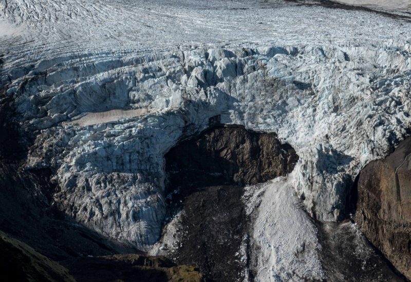
Walking over the ridge, the view on Hafursárjökull slowly gets better. At the end of it, there is a good view on the ice cliff. At the moment the ice falls in two separated branches over the edge, while in 2019 only the western one existed. The eastern branch was formed in recent years. This is a clear indication that the glacier is transporting more ice from higher up. Eventually this could result in a new snout underneath the ice fall, but at present rates that’s unlikely.
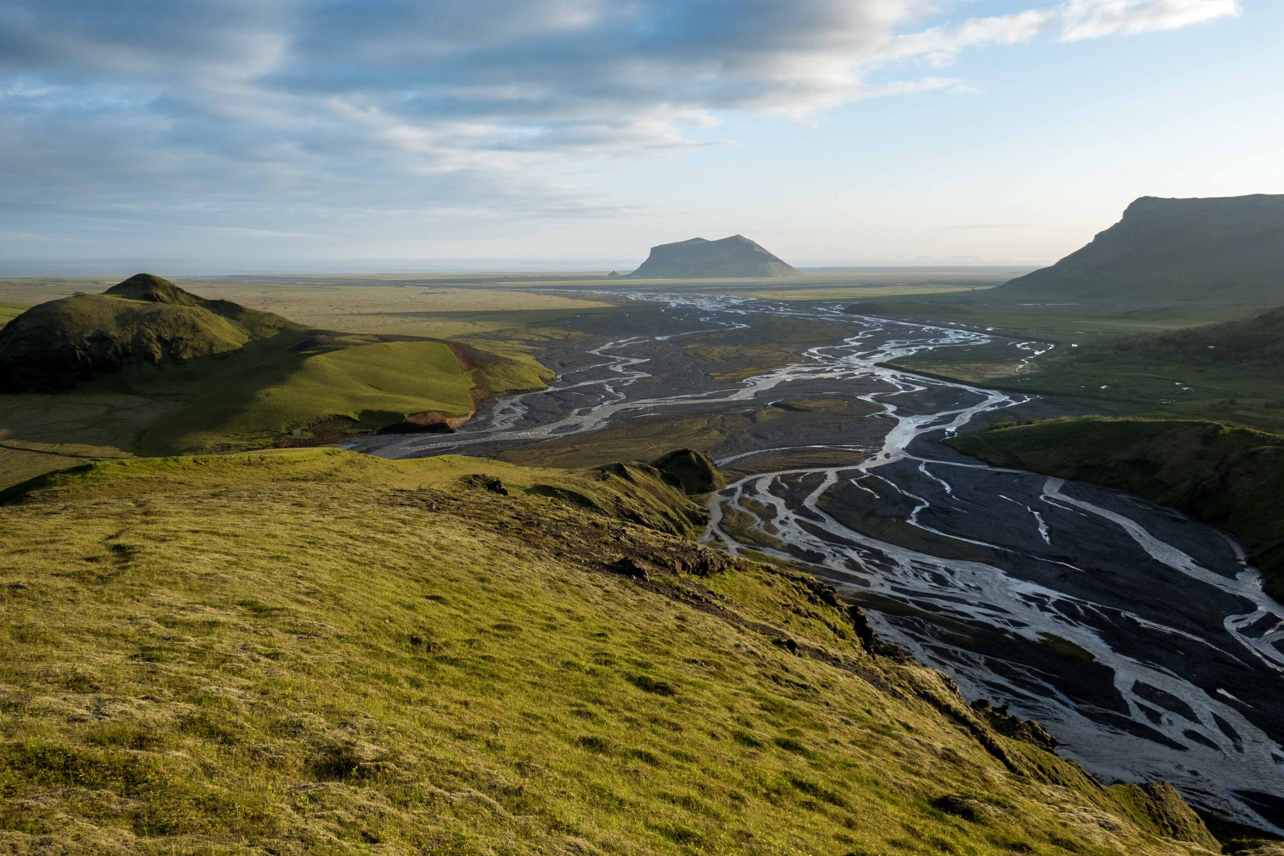
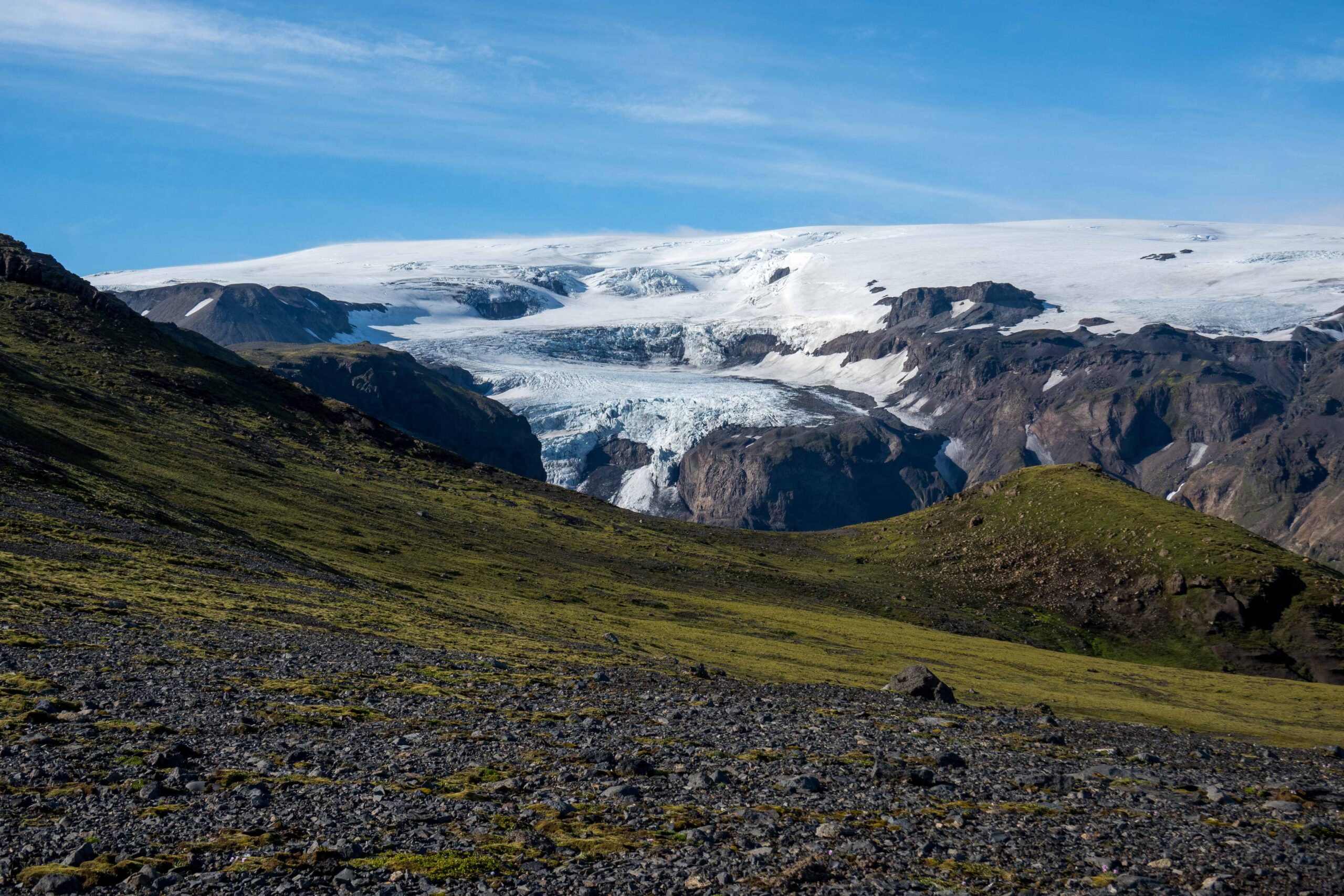
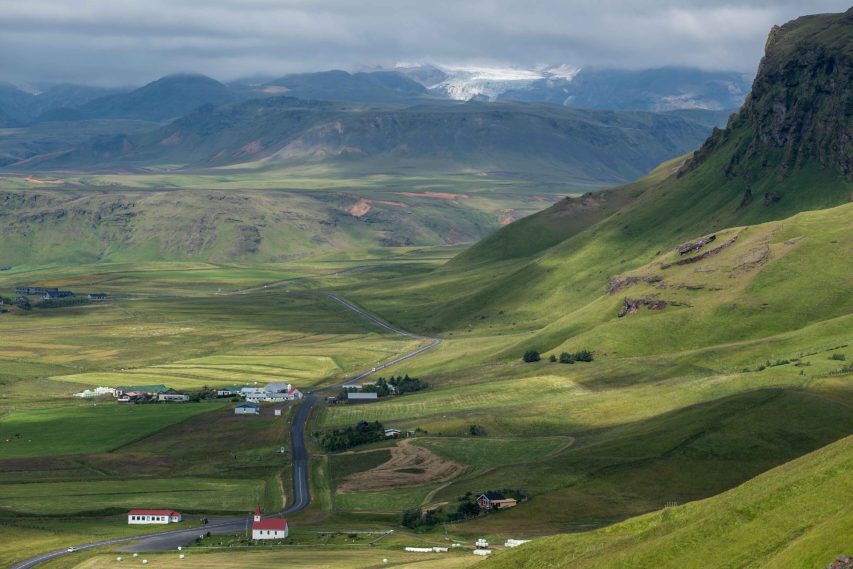
You don’t have to walk many miles to see Hafursárjökull. If a distant view is fine with you, the town of Vík may be an alternative starting point. There you can walk up Gyldarhóll, a hill of no more than 200 meters in height that is also a kind of cape. At its cliffs thousands of puffins nestle. Looking north, you see Hafursárjökull fifteen kilometers away. Looking below, people swarm the black beach to make identical pictures of this crowded tourist attraction. Seeing that, one directly starts longing for the lonely walk over Stórhöfði ridge.
Search within glacierchange: