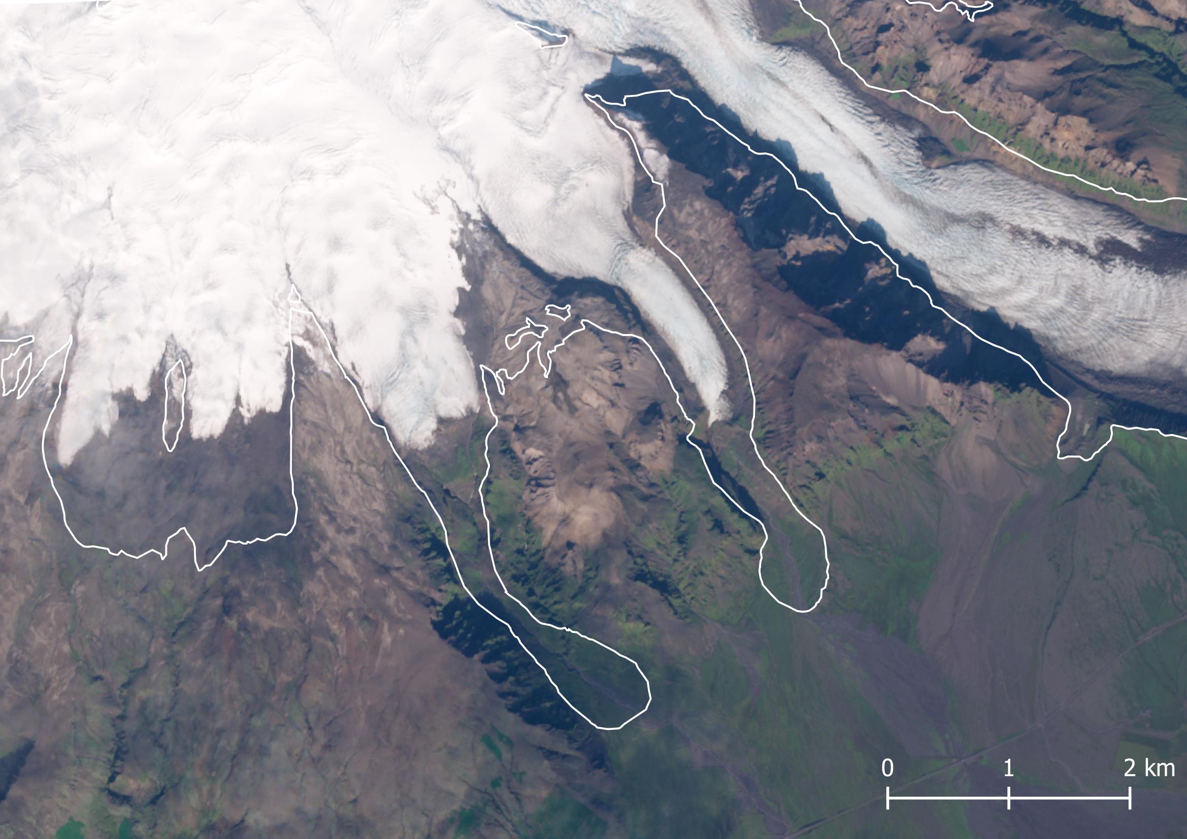
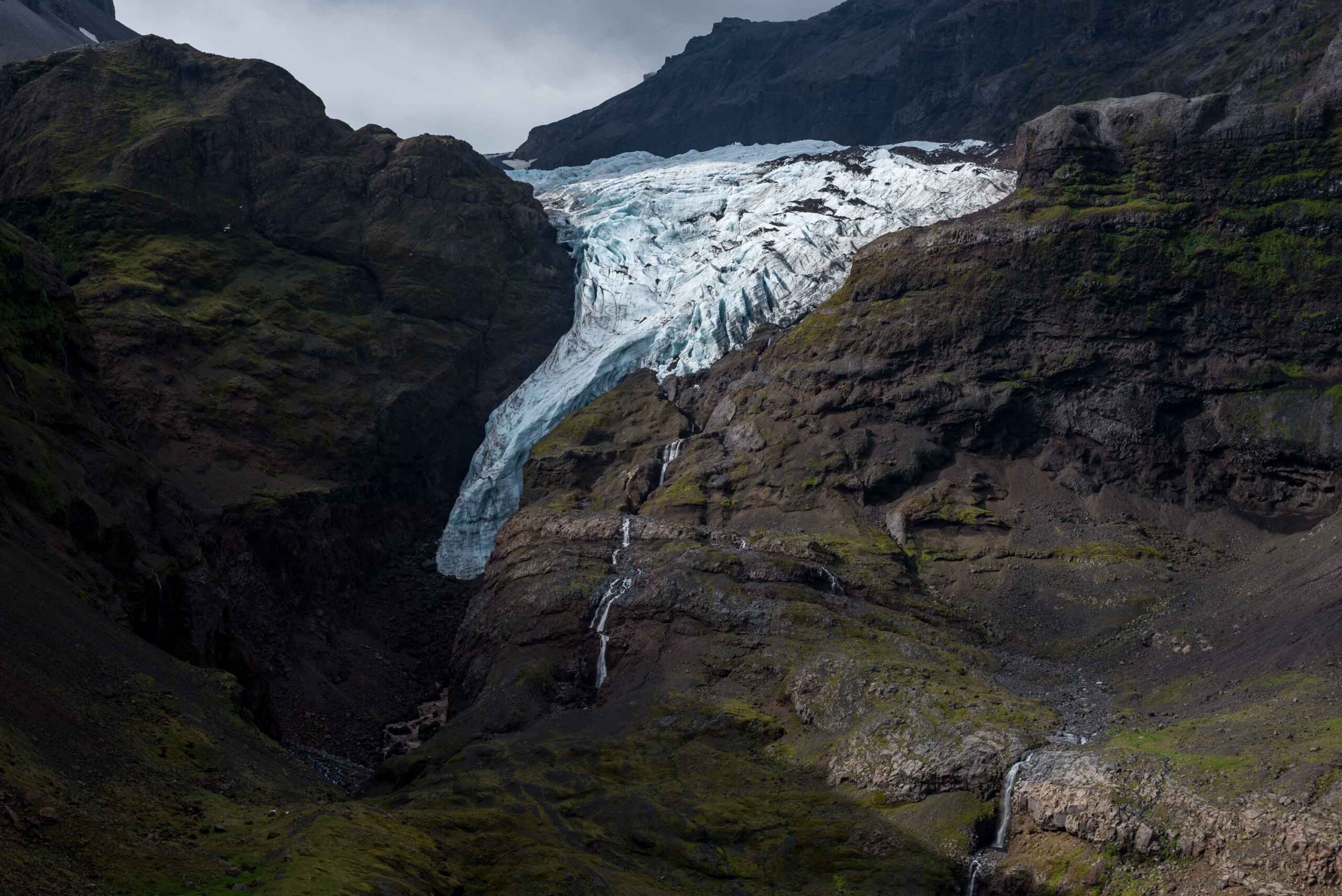
Hólárjökull is one of the smaller glaciers descending the ice-capped stratovolcano Öræfajökull. The glacier 5 km long, starting at an altitude of 1800 m and ending around 400 m above sea level. Only a very small finger of ice falls a bit deeper into the valley.
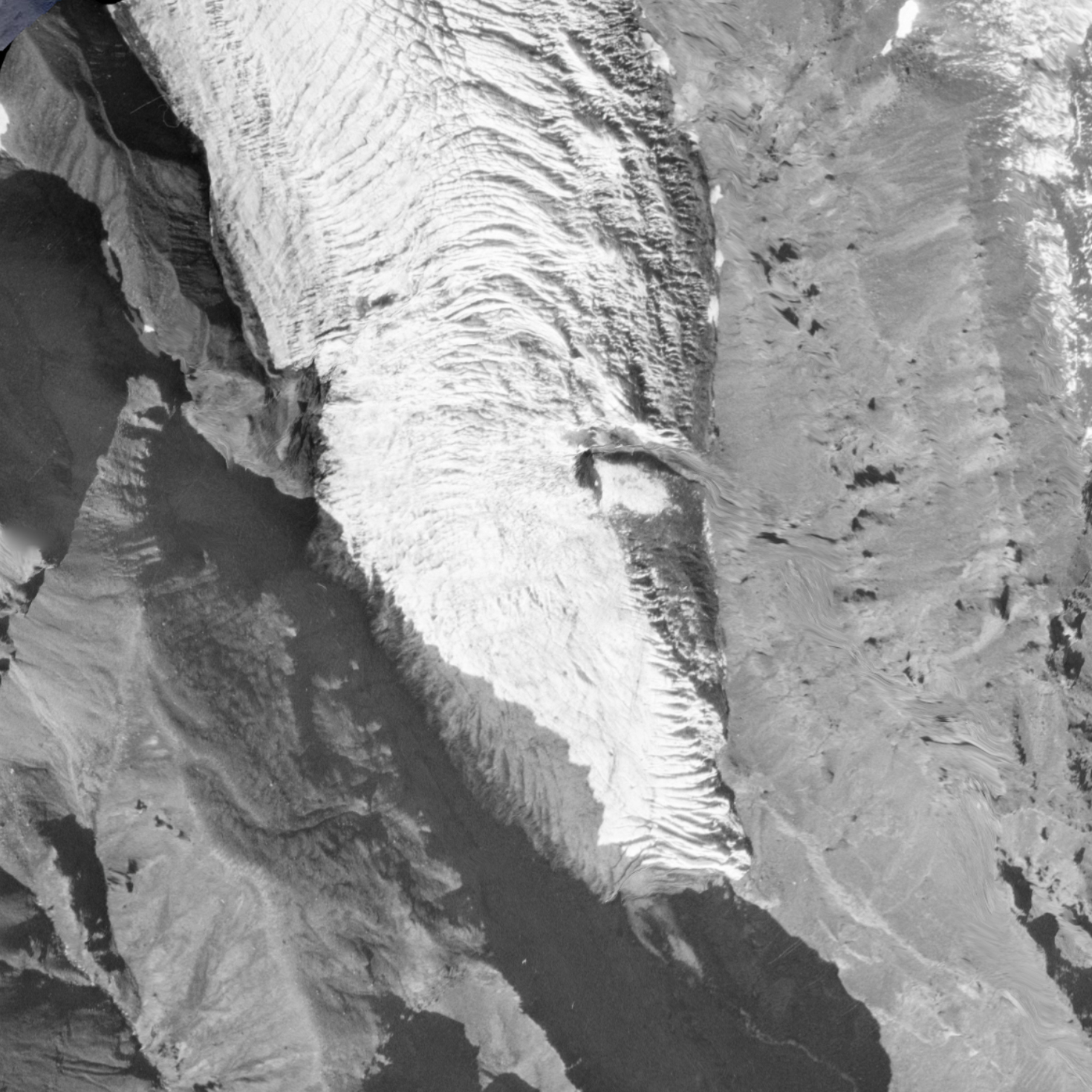
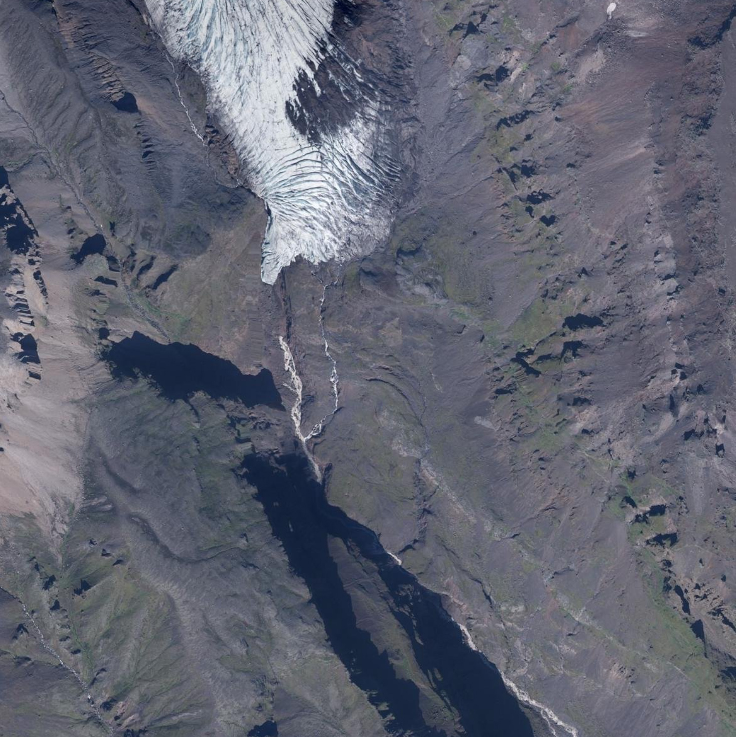
Hólárjökull in 1980 (left) and 2021. Source: landmælingar Íslands.
Hólárjökull is clearly visible from the main road circling Iceland, but only few people get out of their car to pay this modest glacier a visit. Maybe it’s not thát surprising they don’t walk the two kilometer long tack to the valley, as the closer you get the less ice is visible. Hólárjökull’s snout has receded a lot, too far to really reach it. The only option left is to climb the surrounding steep slopes.
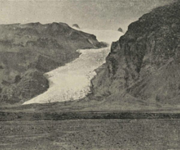
In the 1980’s and 1990’s Hólárjökull was much longer and descended all the way down onto the coastal plain. Kieran Baxter found a good way to illustrate this rapid change by retaking a photo of the glacier from the same viewpoint as his father did thirty years before him. See Jöklavefsjá (islenskirjoklar.is). The very first photo of the glacier was taken by Frederick Howell (1857-1901). He came to the area when glaciers reached their maximum extent.
Hólárjökull has experienced changes before. After it reached its maximum extent in circa 1844 (Chenet et al., 2010), the glacier slowly retreated till around 1930, albeit interrupted by short periods of advance. After 1930, melt rates increased (Eythórsson, 1949).
Despite a warming climate, Hólárjökull stopped retreating in recent years. This is because the climate is not only getting warmer, but also more precipitous (wetter). An increase in snow keeps the glacier at equilibrium. But this delicate balance is not future proof, as increasing temperatures will inevitably turn snow into rain.
Search within glacierchange: