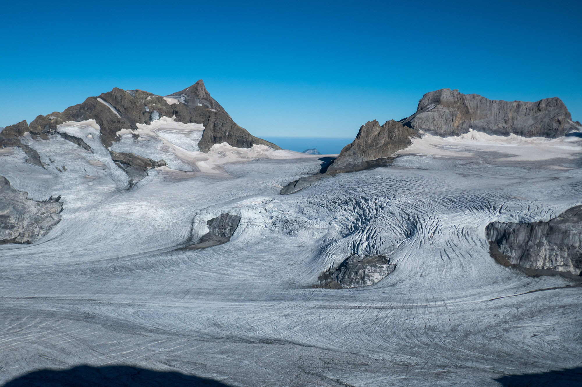
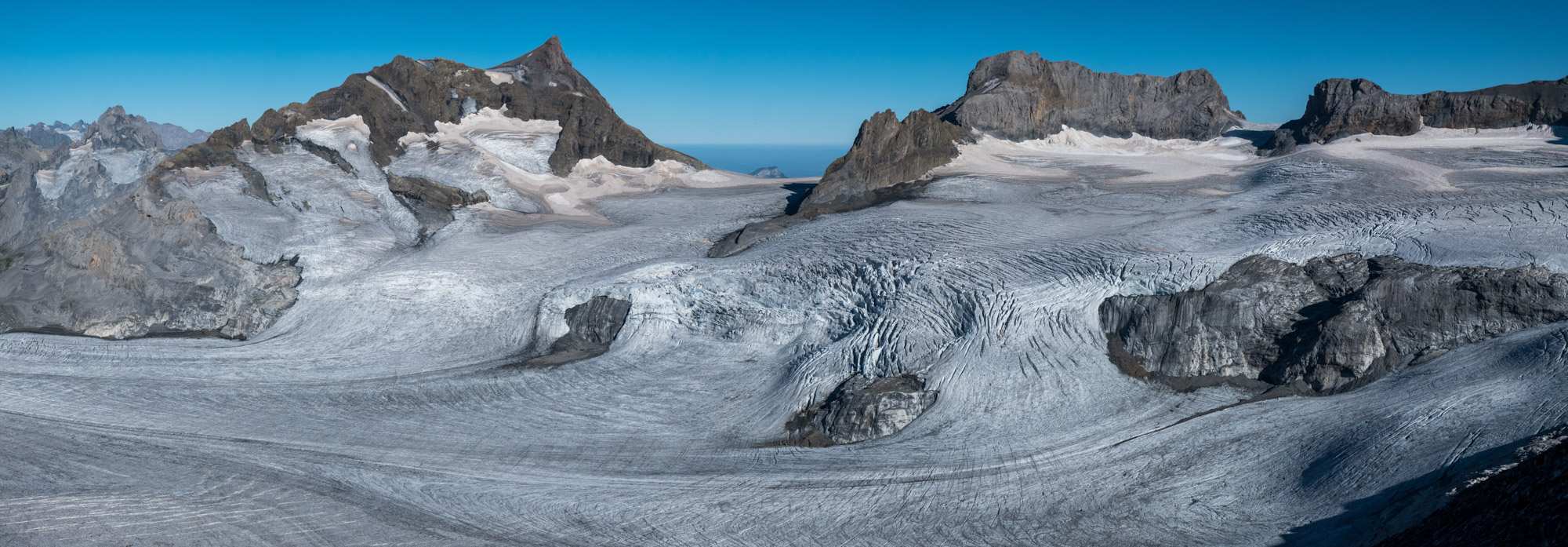
The accumulation area of Hüfifirn is 3 km wide and stretches from mount Clariden in the northeast to the Gross- Schärhorn in the southwest. Nowhere lies the ice surface above 3000 m, which makes the glacier very vulnerable to global warming. In hot and long summers, the entire surface of the glacier is free from snow.
Hüfifirn is completely deprived of snow in the summer of 2022.
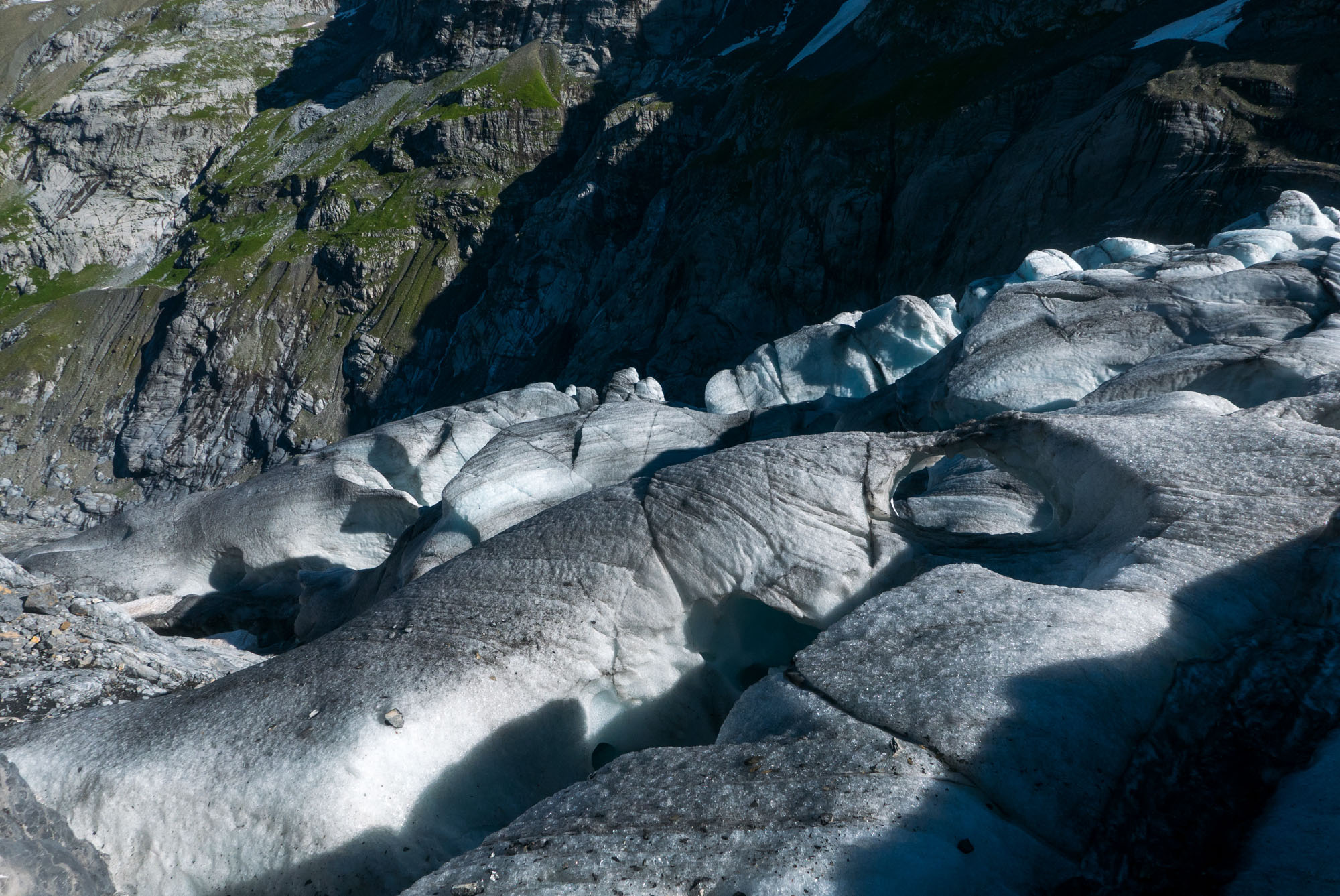
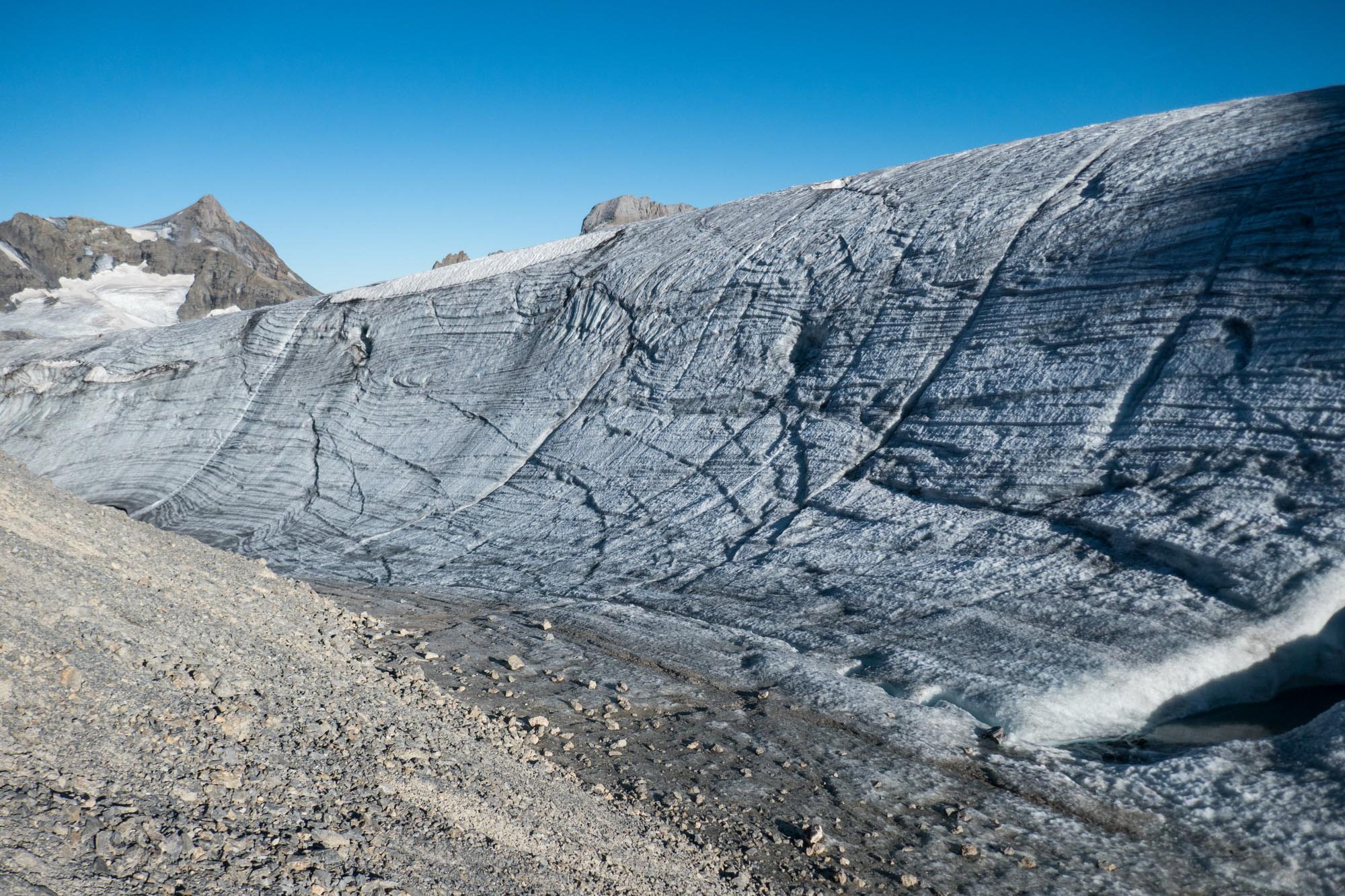
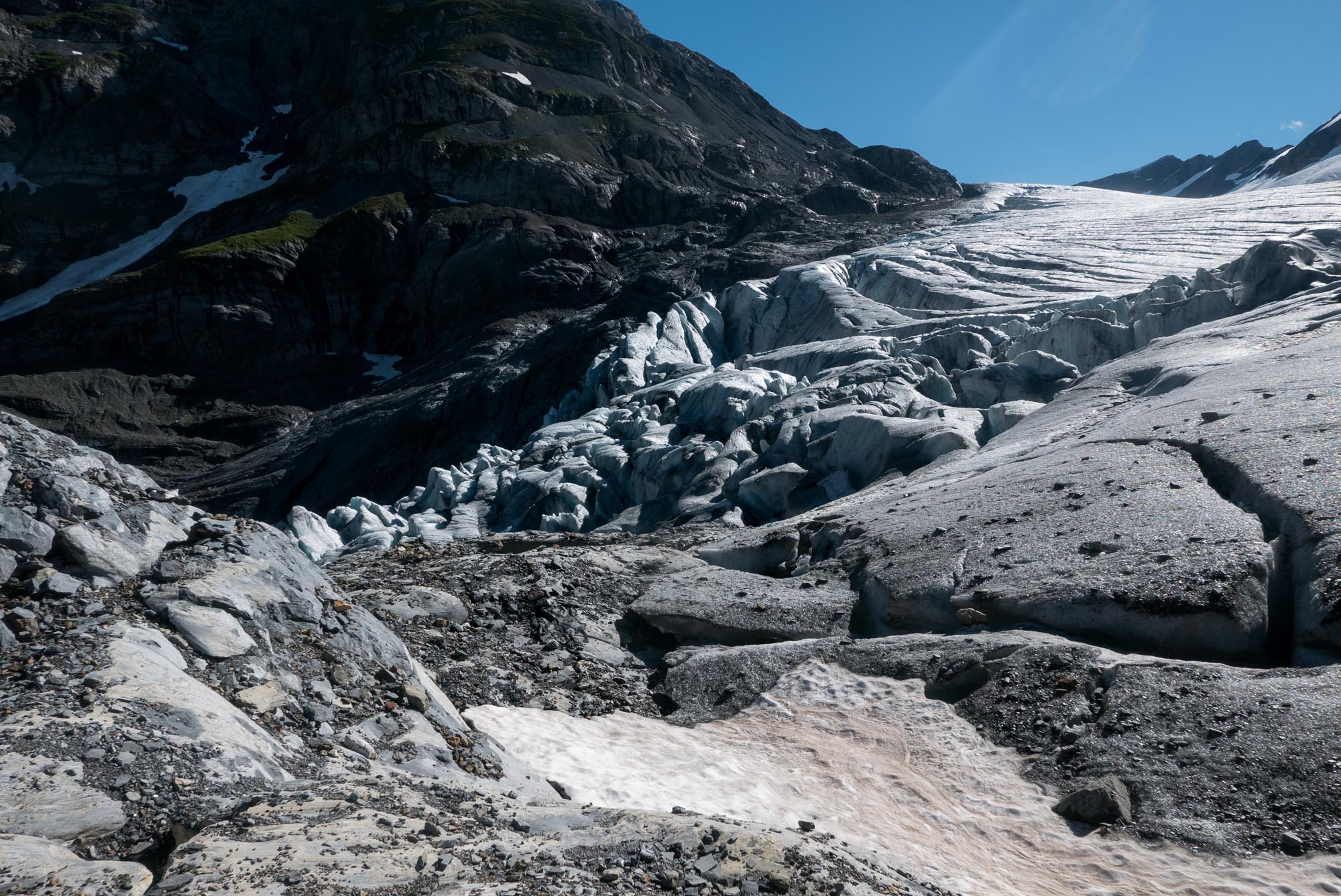
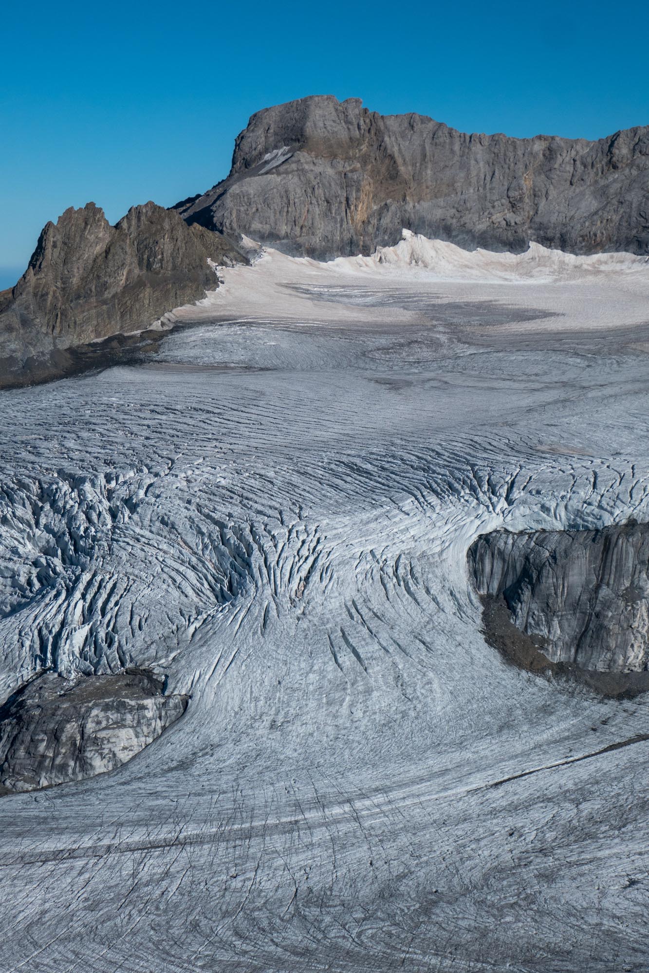
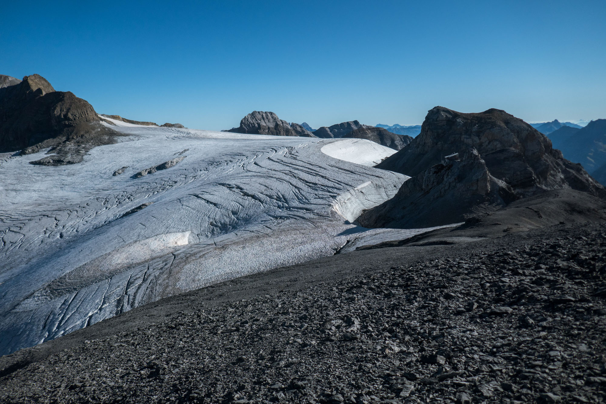
The top of the icefall of Hüfifirn.
Hüfisee
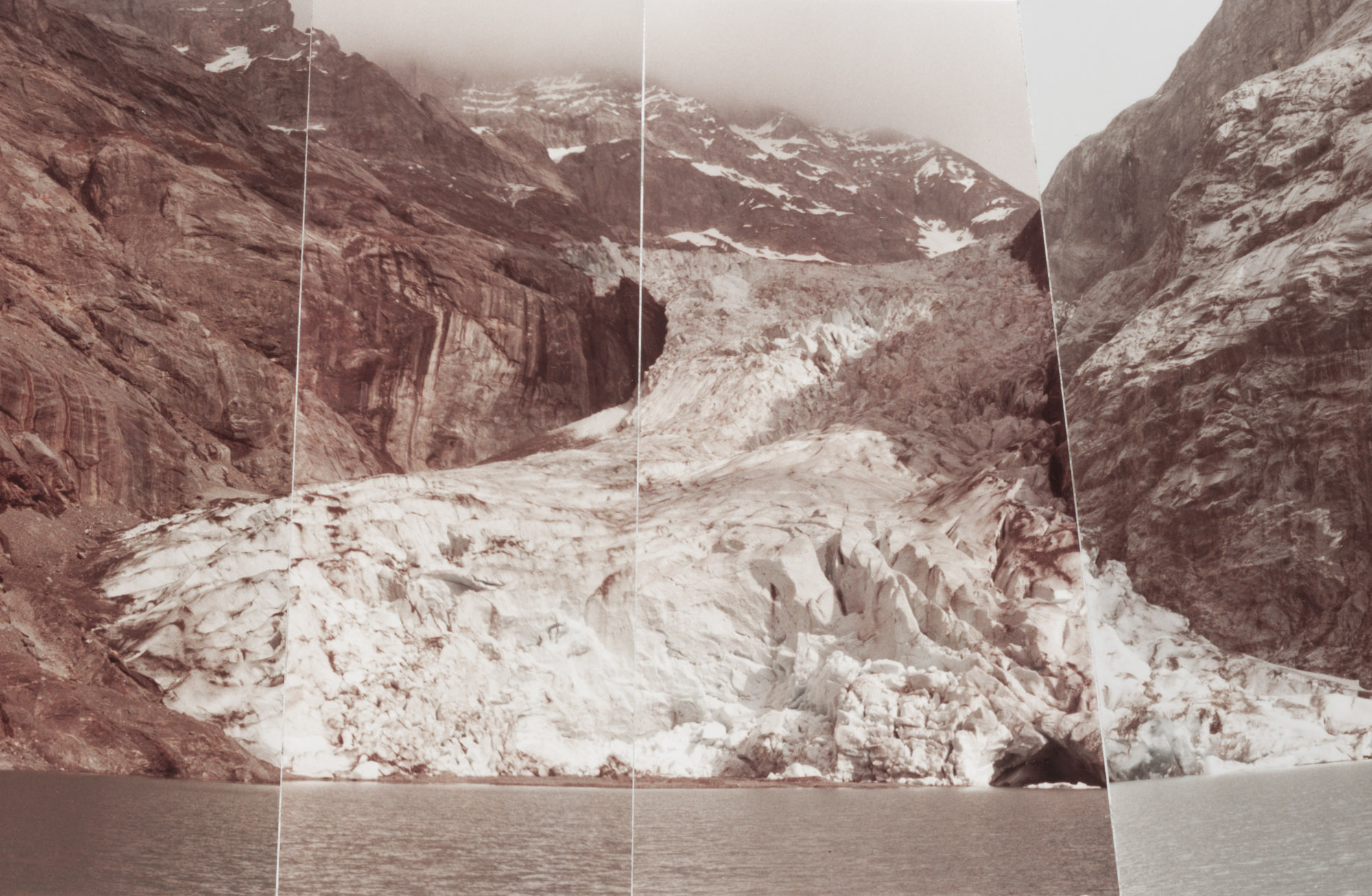
On its way down, the glacier gradually narrows. At an altitude of 2300 m, Hüfifirn eventually plunges into a gorge. At the bottom of the gorge lies a lake called Hüfisee, in which the glacier terminated until well into the 1980’s. During the first half of the 20th century the lake wasn’t visible at all, as it was covered by the glacier.
Hüfifirn terminates in lake Hüfisee, 1984. Photographer: Walter Tresch, ETH-Library Zürich photo Hs_1458-GK-B073-1984-0002.
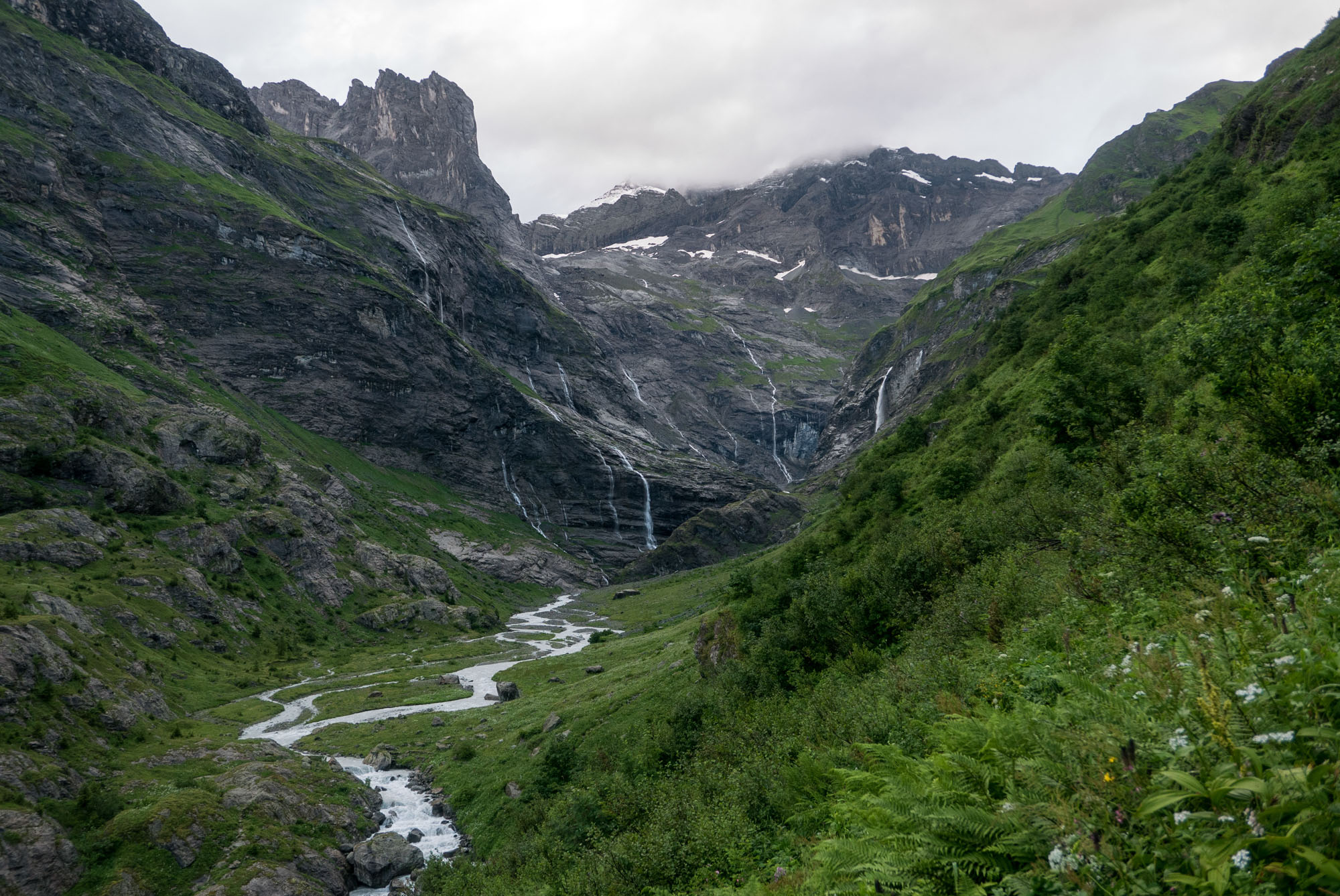
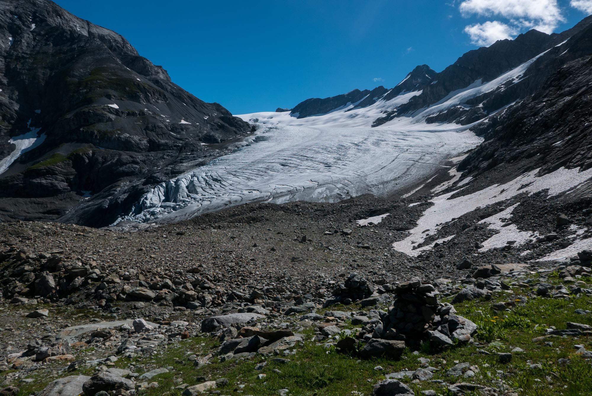
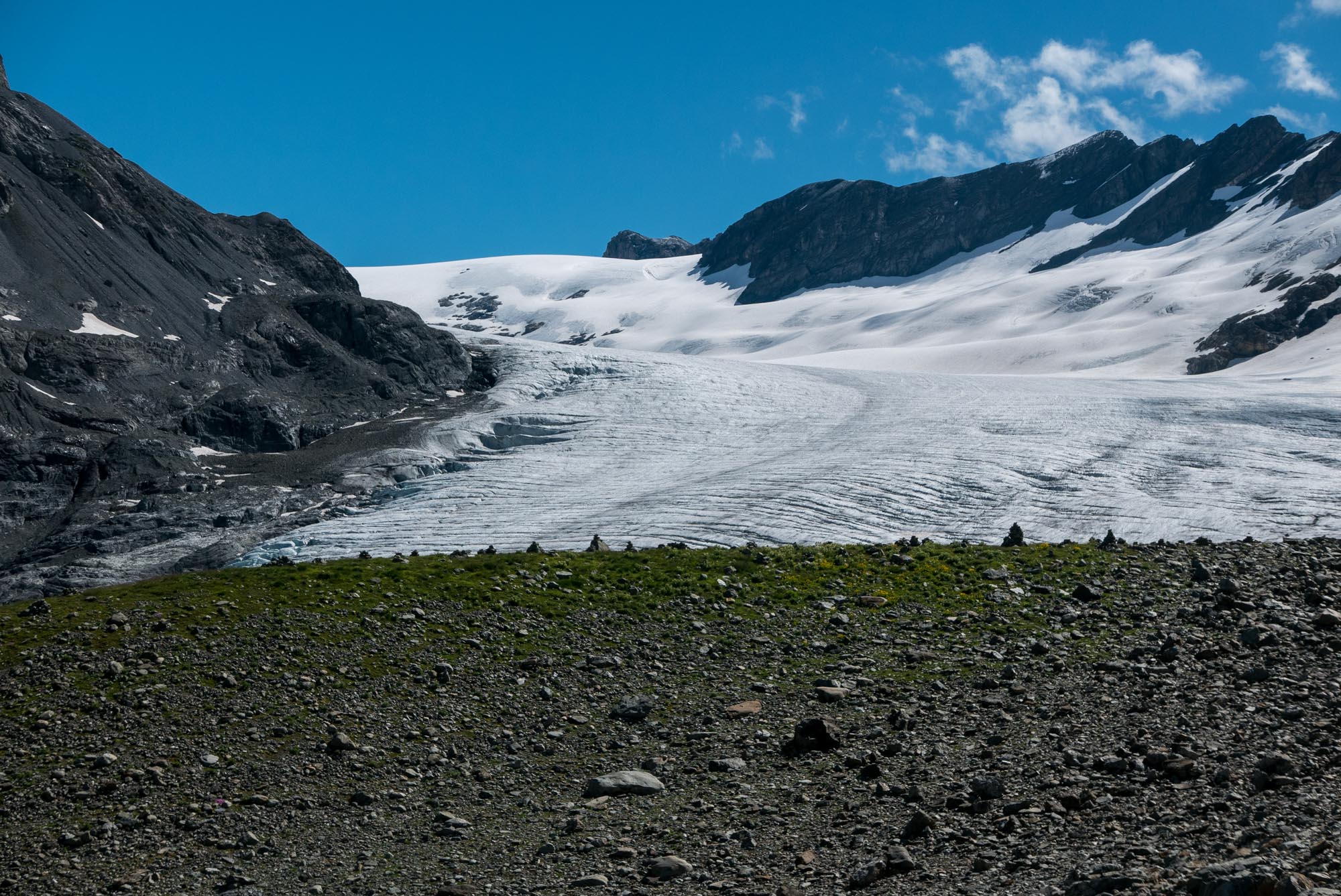
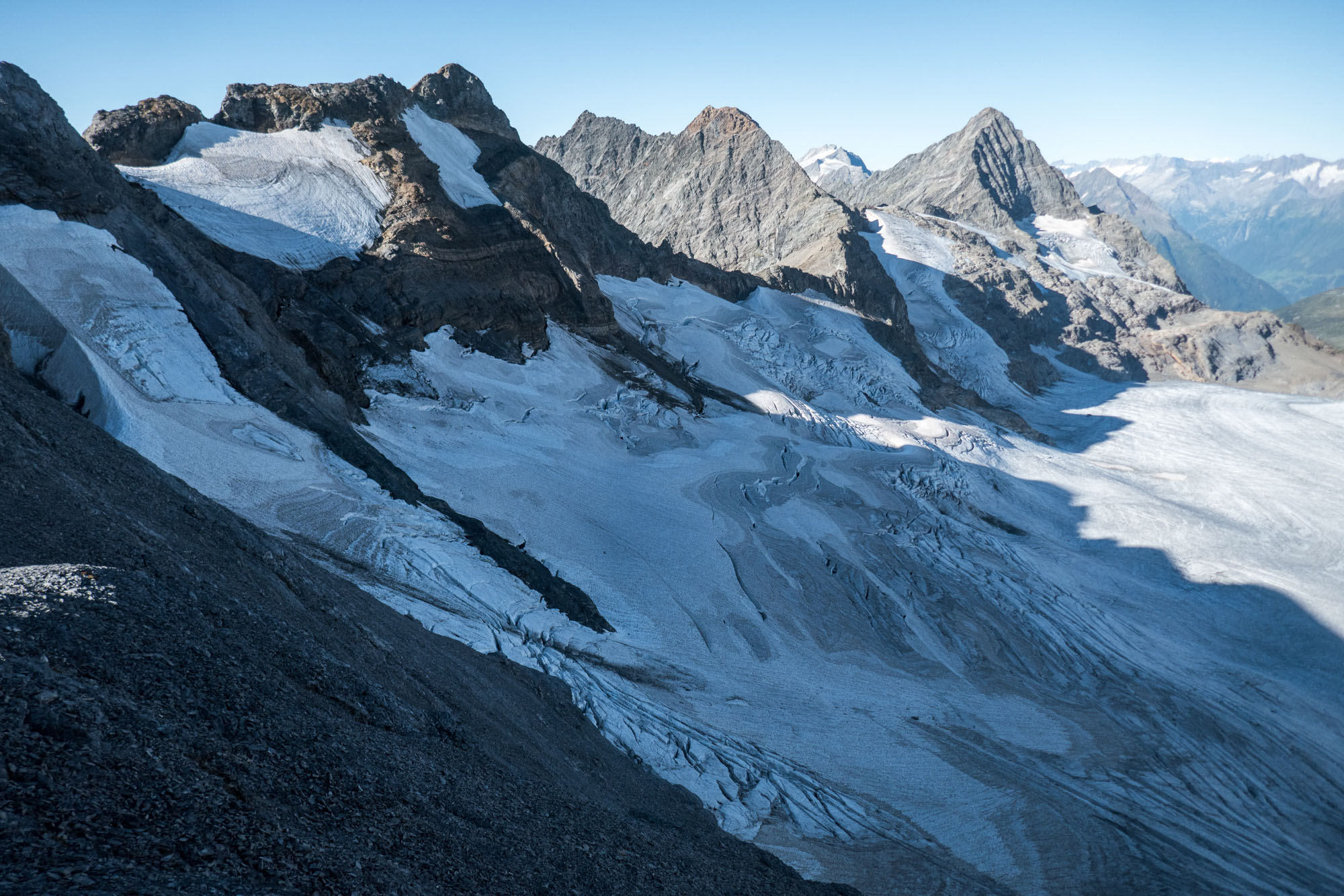
View from the Hüfihütte towards Hüfifirn.
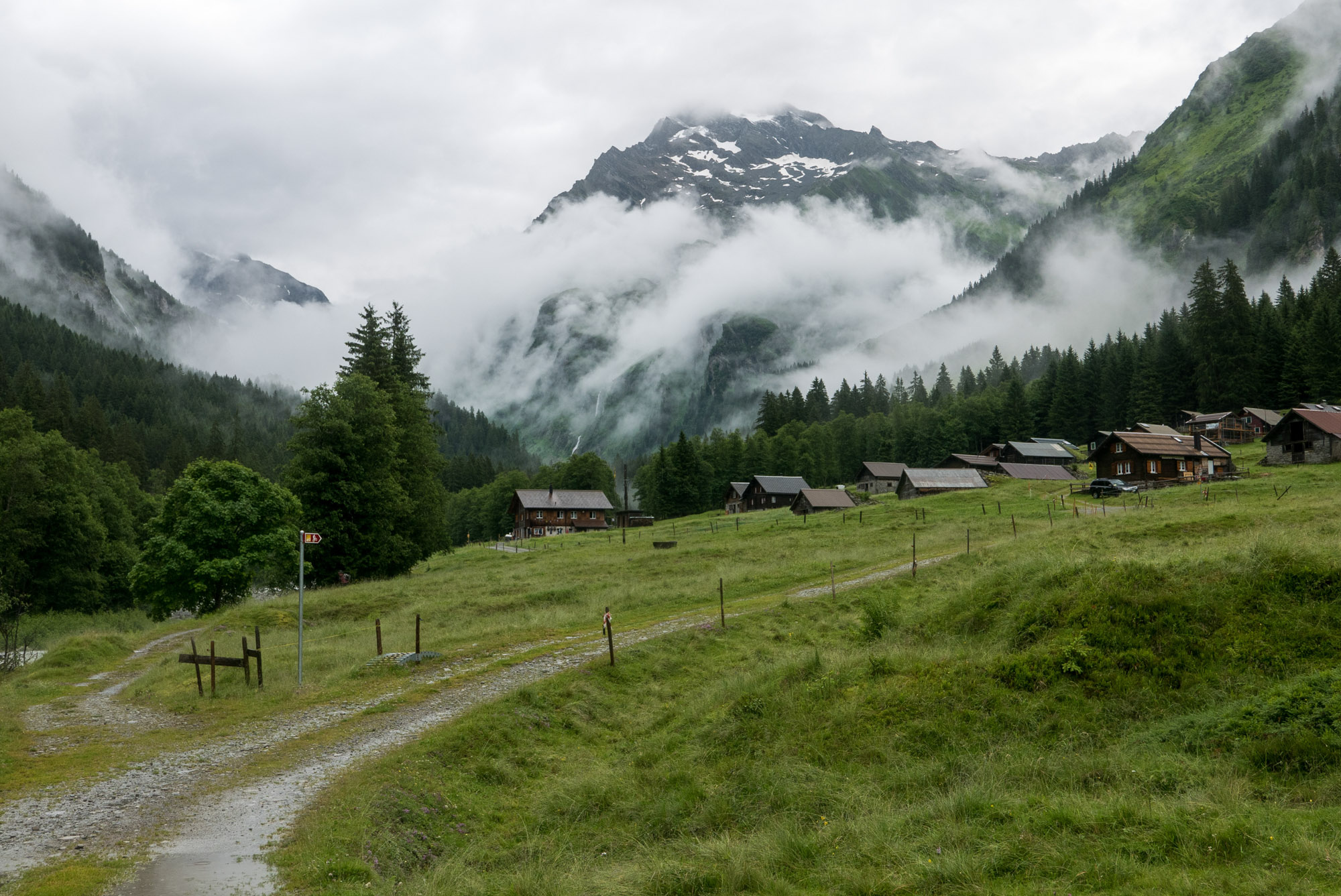
Hüfihütte
It was halfway the 19th century that Hüfifirn, like most glaciers in the Alps, attained its maximum length in historic times. The snout extended down to 1500 m, which is exceptionally low. In those years the mountains were also discovered by alpinist and mountain huts were built. In 1873 people built a first, very basic hut close to the snout. This Hüfihütte was rebuilt higher up the mountain at its current location in 1899.
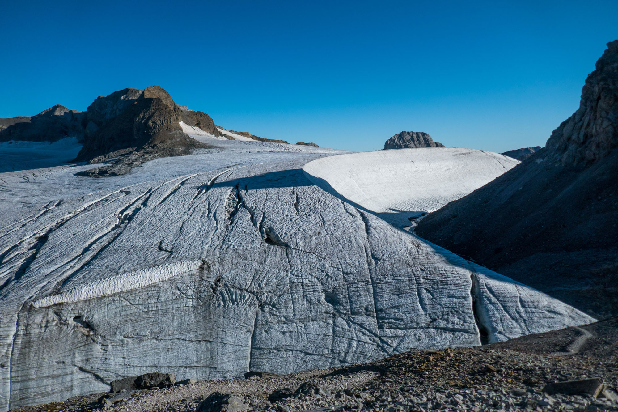
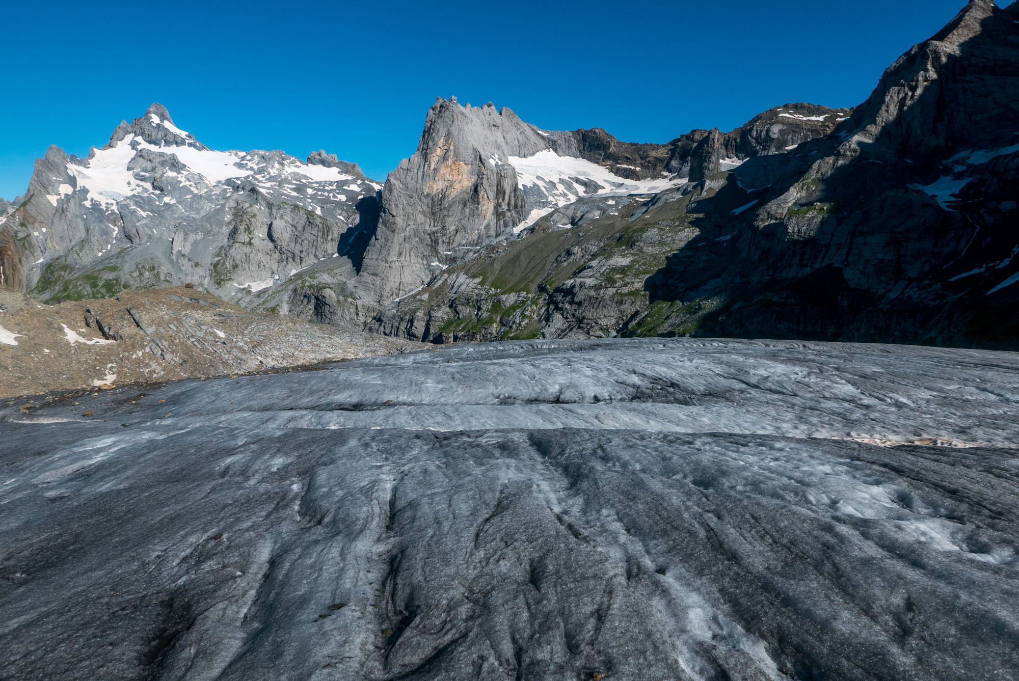
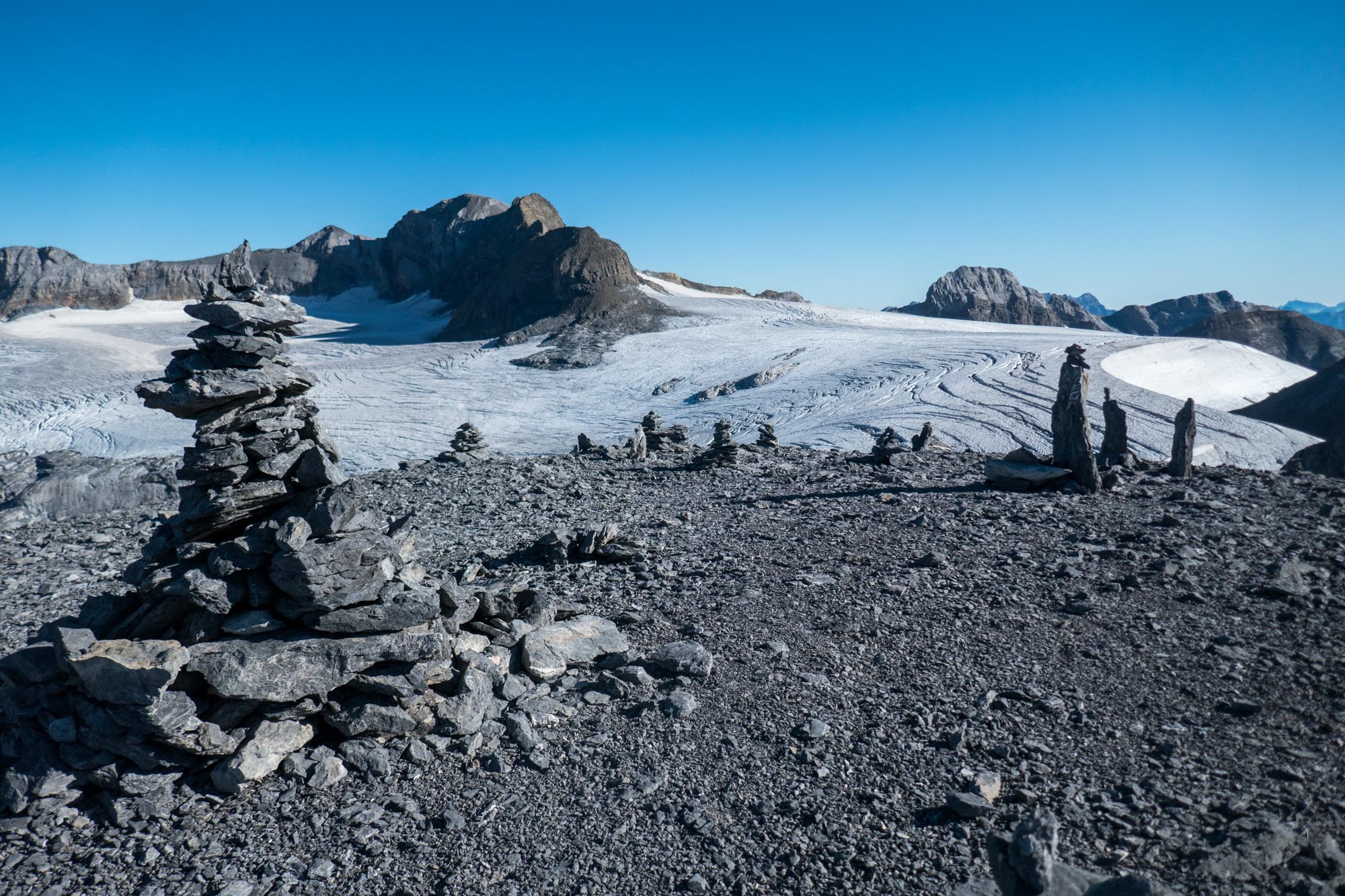
Wind Hole
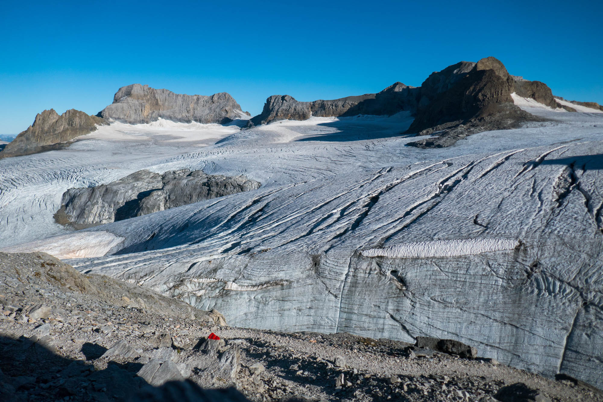
While the Hüfihütte gives a nice view over the snout, the Planurahütte overlooks the upper parts of Hüfifirn. The rock on which the hut stands (since 1929) is circumvented by a wall of ice in the west that looks like a quarter pipe. Fierce winds prevent snow from accumulating in the vicinity of the mountain, so an ice-free ring or wind hole is formed. The same goes for the Hinter Spitzalpelistock to the north of the hut.
Wind hole at the base of the Hinter Spitzalpelistock.
Wind hole below the Planurahütte, August 2022.
The snout of Hüfifirn in 1985 (left) and 2021, with the Hüfisee in the far left. Source: swisstopo.
Regained Retreat
Since length measurements began in 1882, Hüfifirn lost close to 2 km. But between 1900 and 1935 its length hardly changed and over the years 1975-1985 the glacier even advanced. However, in the last decades ice loss increased and the snout practically retreated from the gorge by 2023. On top of that, more and more rocks are peeping through the thin ice in the upper areas. The ever thinner glacier won’t live to see the end of this century.


