Kjenndalsbreen is a small western outlet glacier of Jostedalsbreen. It had a remarkable readvance in the 1990’s.
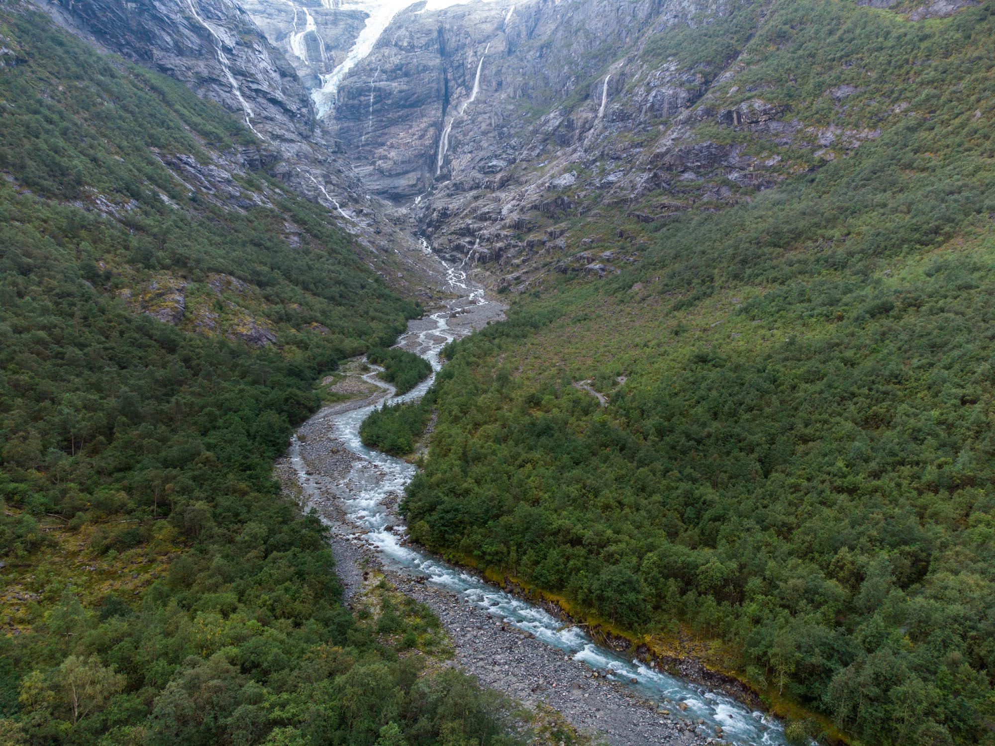
Fjords and lakes (former fjords) cut deep into the western side of Jostedalsbreen. At the end of Nordfjord, one of the longest fjords, lies Kjenndalen valley. Dazzling steep mountain walls rise up from either side of the forested valley floor.
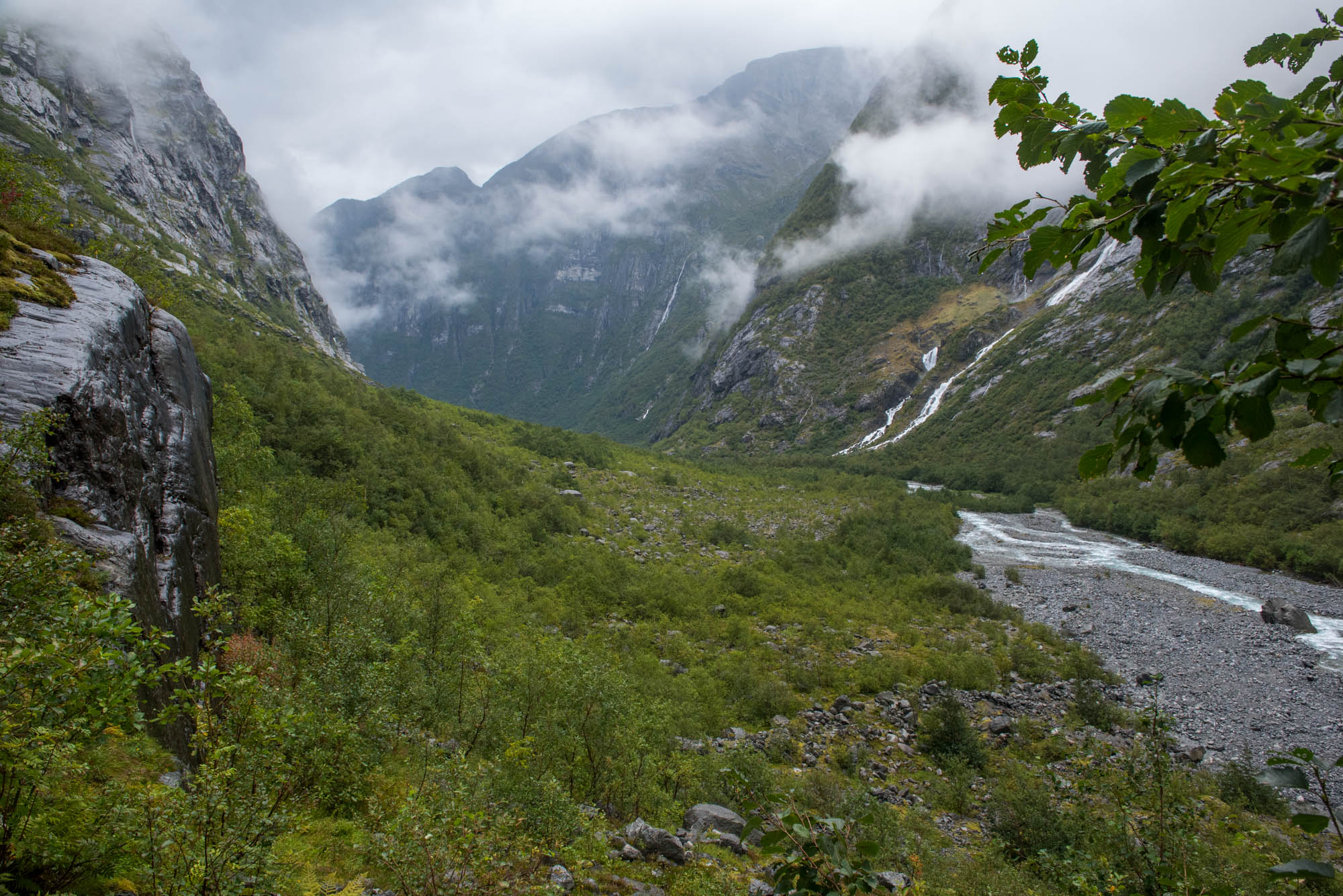
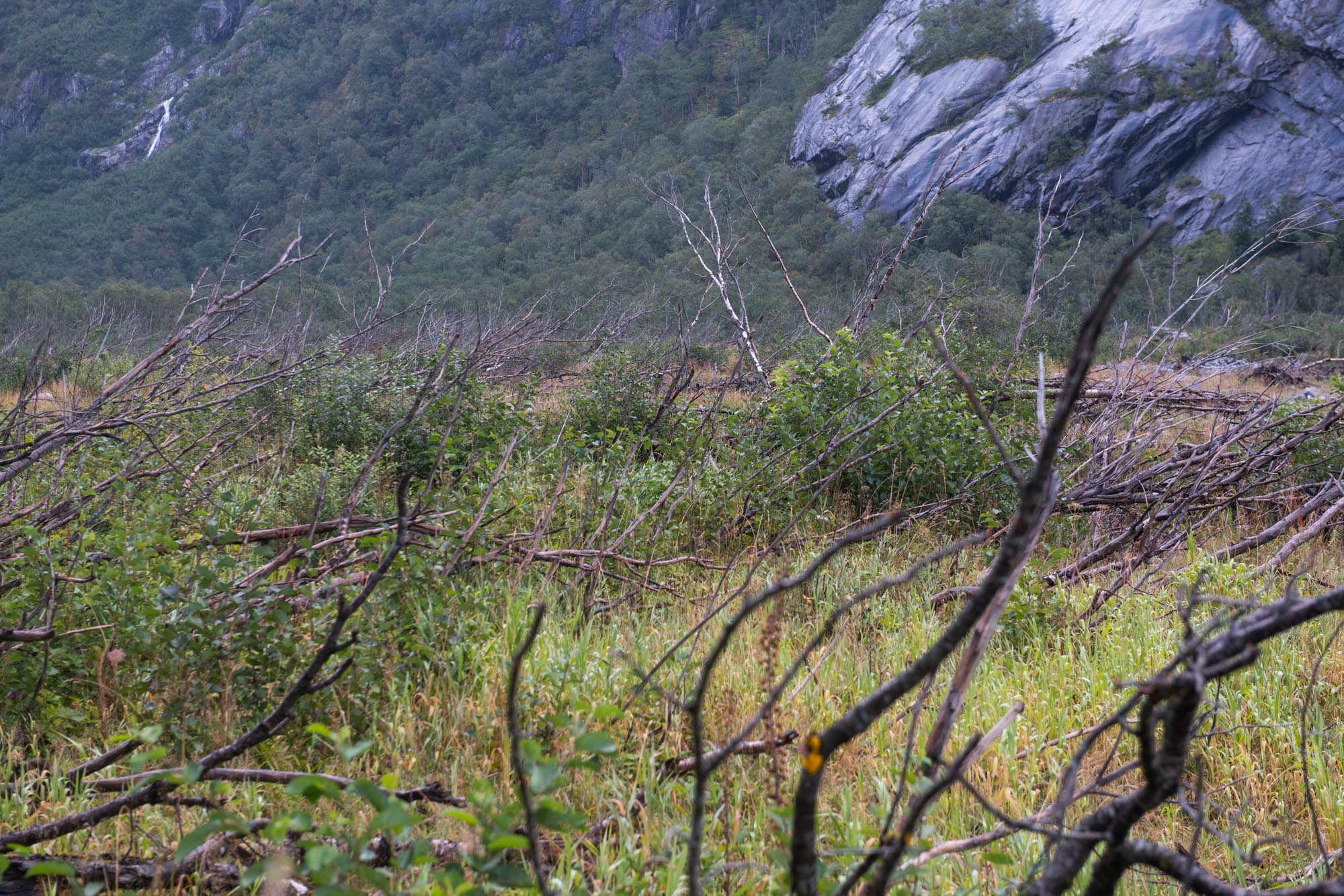
A small mountain road winds its way through the valley, which is prone to avalanches. In June 2022 dozens of tourists were stranded here after a snow and rock avalanche had blocked the road (nrk.no). After some time driving over this toll road the glacier comes into sight. It’s a good thing that the landscape is worth the visit, because the glacier no longer is.
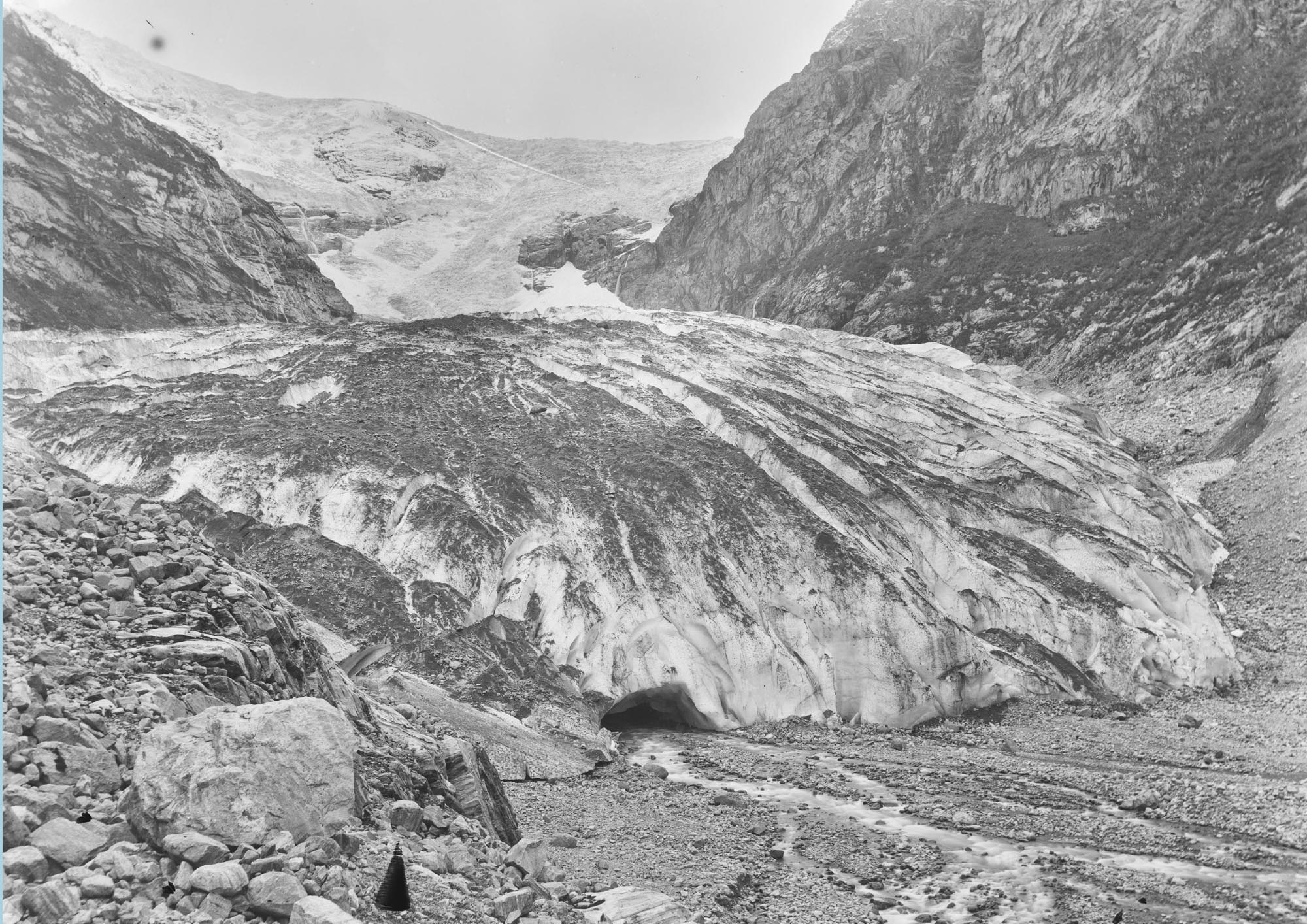
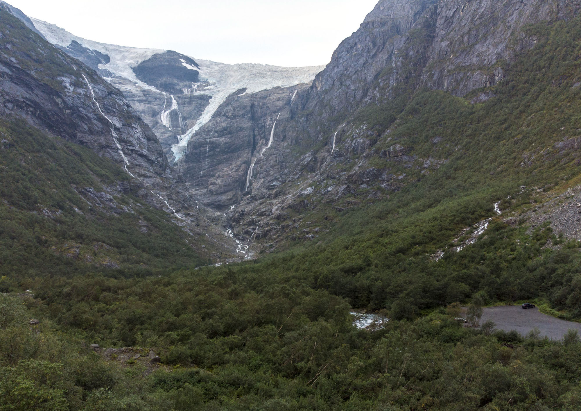
Kjenndalsbreen in 1888-1894 and 2024. Source 1888: Knud knudsen, Bergen University Library photo ubb-kk-ncx-0297.
Kjenndalsbreen is an icefall that steeply descends Jostedalsbreen northwards. Previously, the icefall reached the valley floor and continued as an impressive snout at only 100 m above sea level. It was relatively easy to reach by boat, so quite some people visited Kjenndalsbreen.
John Rekstad started length change measurements at Kjenndalsbreen. When he was there in 1900, he noticed that 930 m in front of the contemporary glacier lay its end moraine, probably dating from the 18th century (Rekstad, 1901). He didn’t measure it exactly, by the way. Instead, he knew the length of his steps and walked the distance.
Between 1905 and 1922 Kjenndalsbreen retreated 250 m, but it grew the same distance over the next ten years. Photos show a steep and crevassed glacier front, typical of advancing glaciers. Both in 1900 and 1932 the glacier reached the location where the parking area is today.
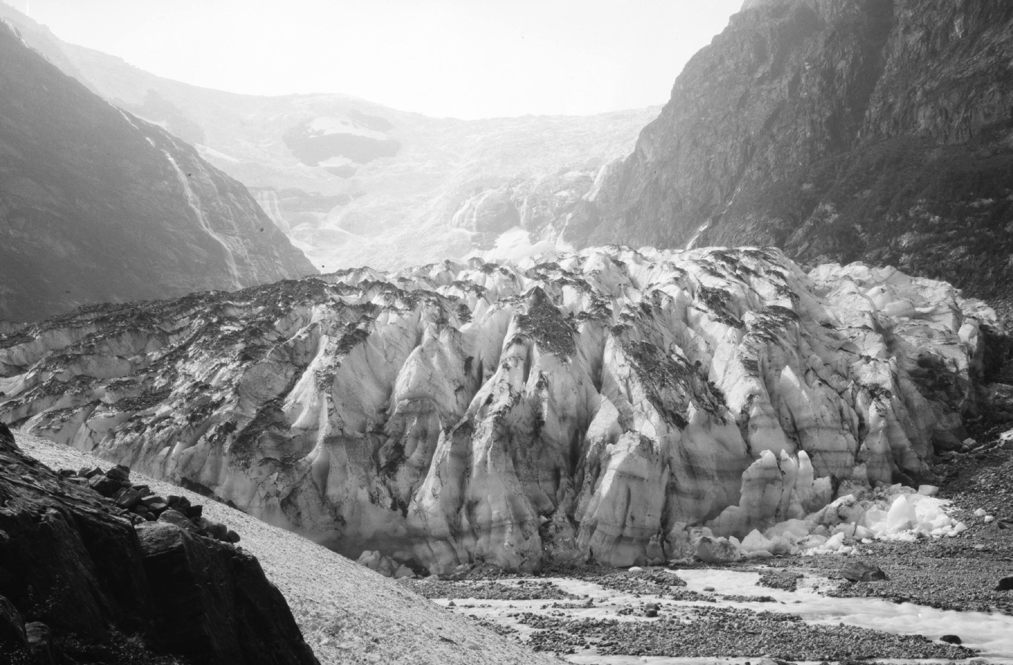
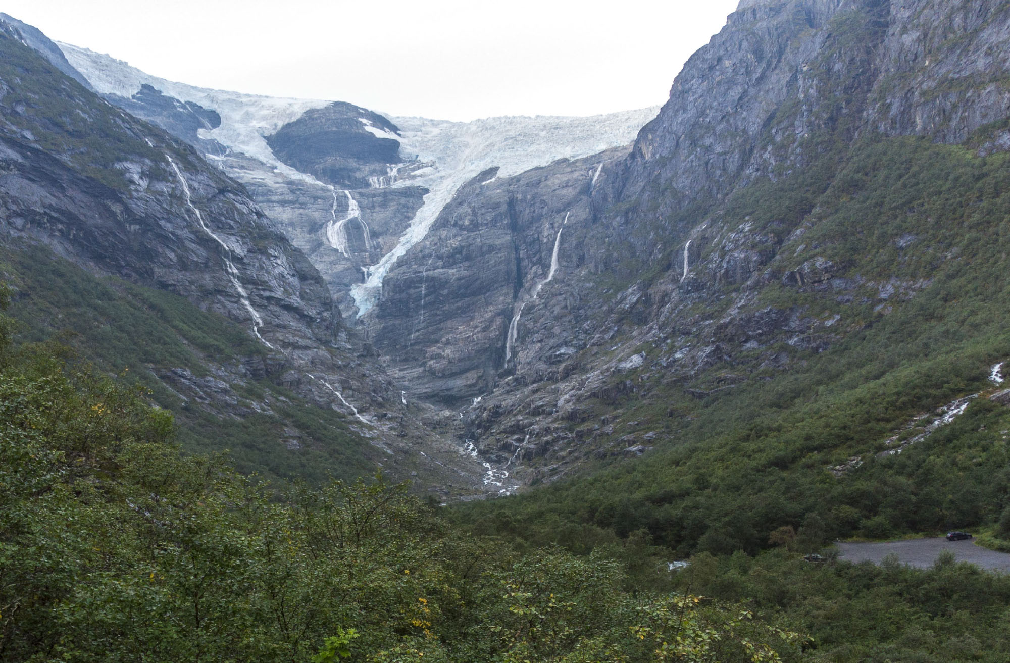
Kjenndalsbreen in ca. 1930 and 2024. See the car park (borrom right) for perspective. Source 1930: Mittet & Co. AS, National Library of Norway.
Once ice descending from Jostedalsbreen ice cap no longer makes it into Kjenndalen, the glacier quickly melts due to its low elevation. It therefore disappeared from the valley within 20 years and measurements stopped in 1952. However, they were reinitiated in 1996 because the glacier was advancing again into Kjenndalen.
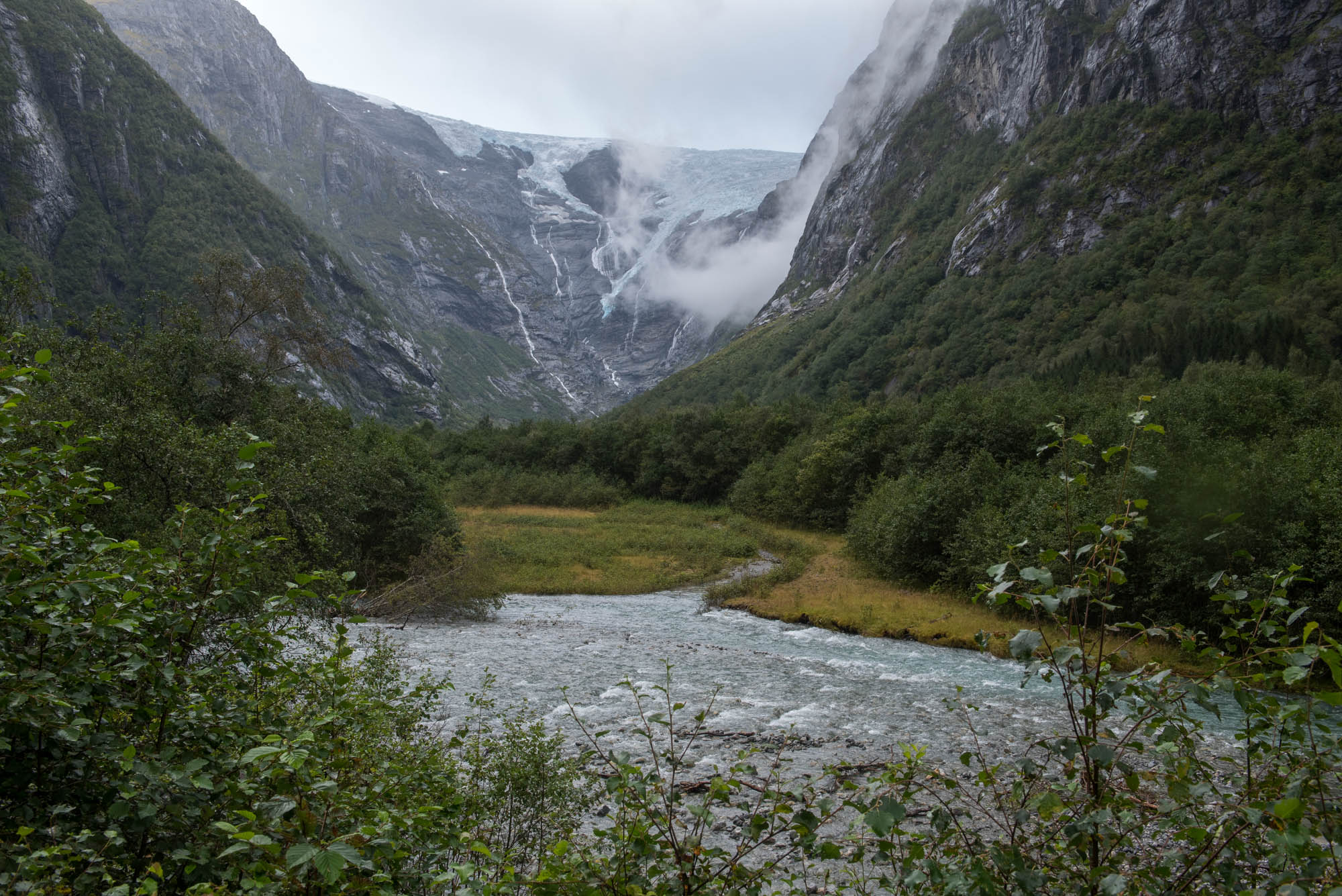
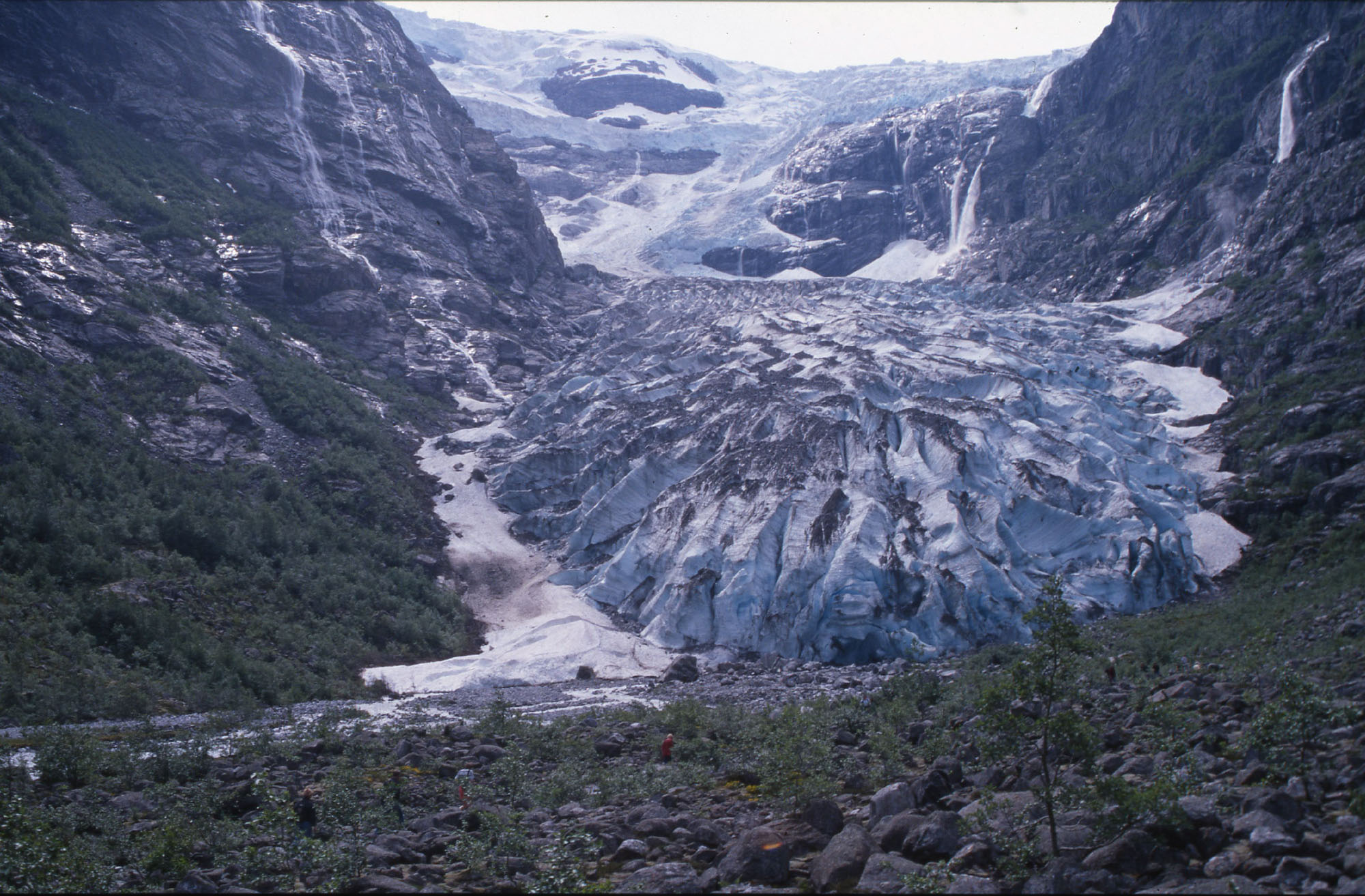
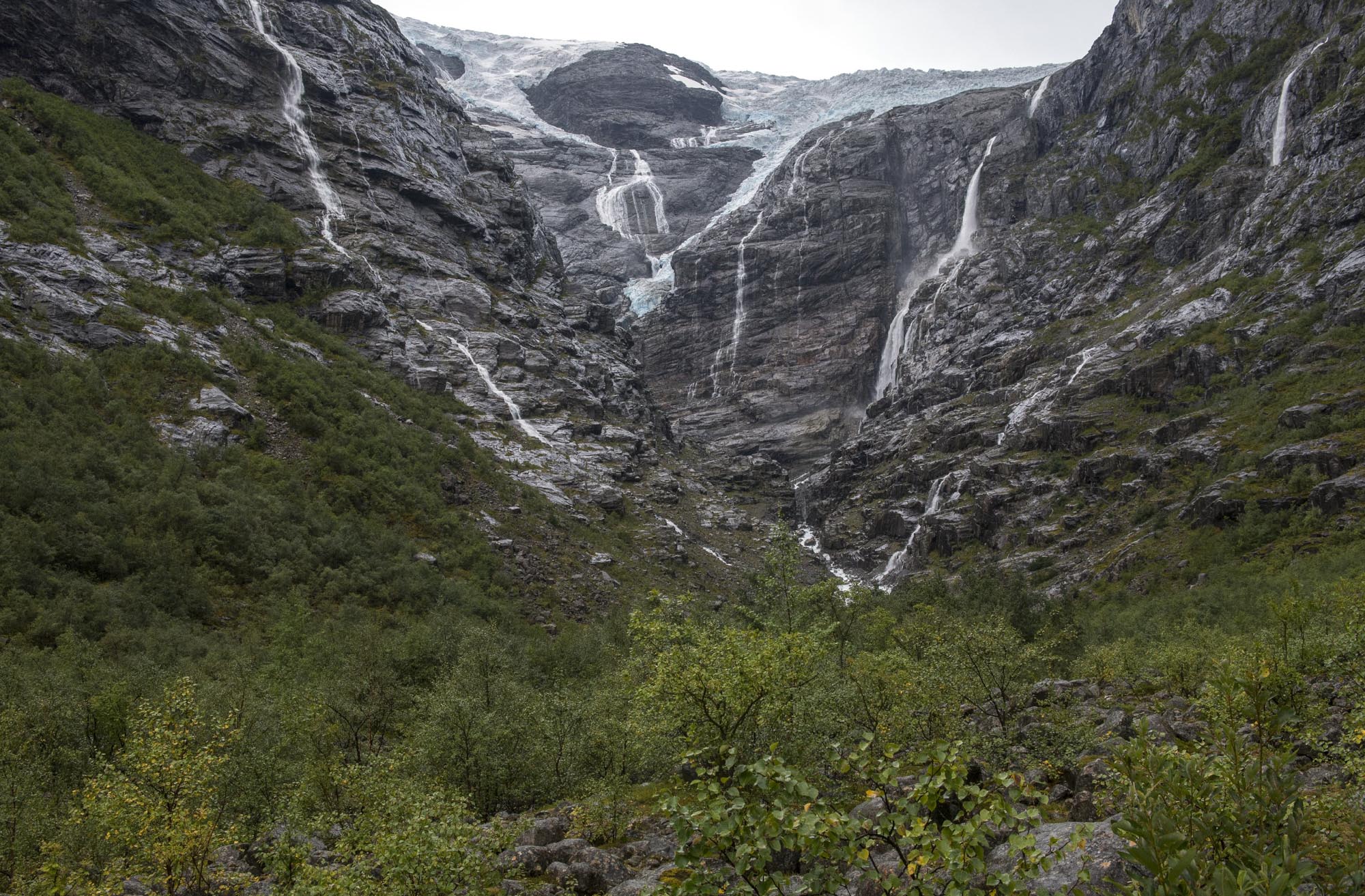
Kjenndalsbreen in 1997 and 2024. Source 1997: Noregs Geologiske Undersøking via Flickr.
Many steep glaciers of Jostedalsbreen advanced in the 1990’s thanks to snowy winters. So did Kjenndalsbreen. It reached its farthest point in 1997, some 600 m from the parking area. In these years the glacier became a real tourist attraction, as it was so accessible. You could easily walk right up to the ice. The moraine from the 1990’s is still recognizable.
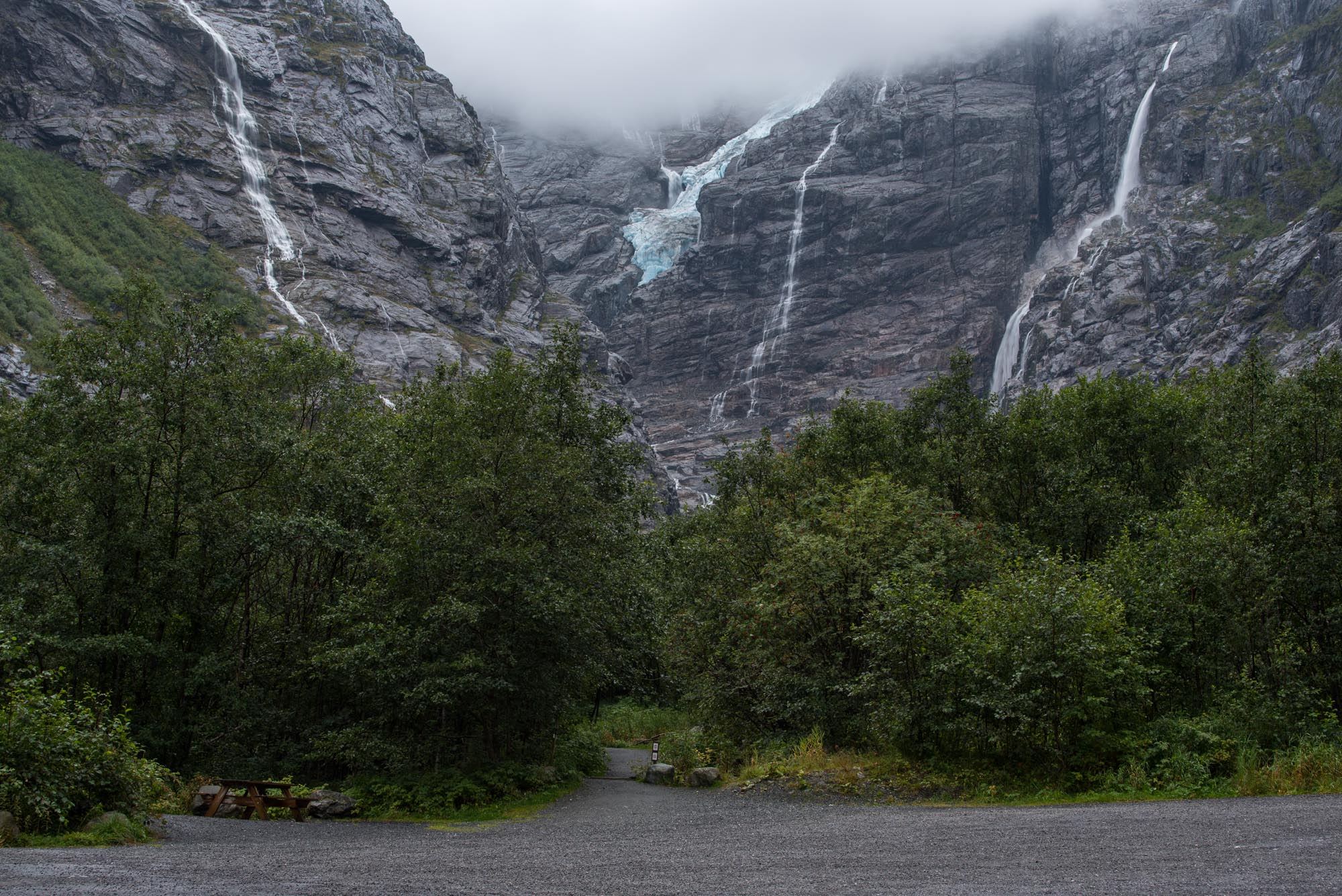
Nowadays, the parking lot is seriously out of proportions. After all, why would you go there if there is no glacier to be seen? Even though there is a nice 10 minute walk to a viewpoint, the glacier left the valley. Its tiny snout is hanging halfway the steep valley slope, with the icefall much higher up. All in all quite the sad sight.
Search within glacierchange: