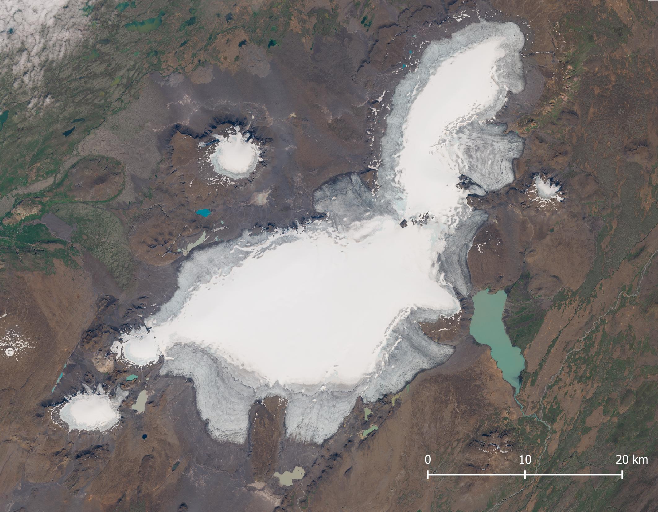
The glaciers of Langjökull (Long Glacier) form Iceland’s second largest ice cap, located in central western Iceland. From northeast to southwest the ice cap is just over 50 km long. Langjökull has an area of about 800 square kilometers and an elevation range of 1400 to 500 m above sea level.
The mean ice thickness of the glaciers of Langjökull is 200 m and it’s decreasing by over a meter per year on average. Over the course of the past 150 years the ice volume of Langjökull decreased from 248 km3 to under 170 km3 by now and its area from 1100 km2 to 800 km2. Within a hundred years the ice cap is very likely to melt away completely (Pálsson et al., 2012, Aðalgeirsdóttir et al., 2020).
As if Langjökull isn’t disappearing fast enough, the company ‘Into the Glacier’ drilled a cave spanning half a kilometer in the top part of the glacier in 2015. Natural ice caves are only safe to access in winter, so the company wanted to create a place where it could tour people year-round. Four years later another company got permission to dig a second tunnel in Langjökull, at Suðdurjökull. The reason? Due to climate change there are less (safe) natural ice caves to take tourist into (mbl.is).
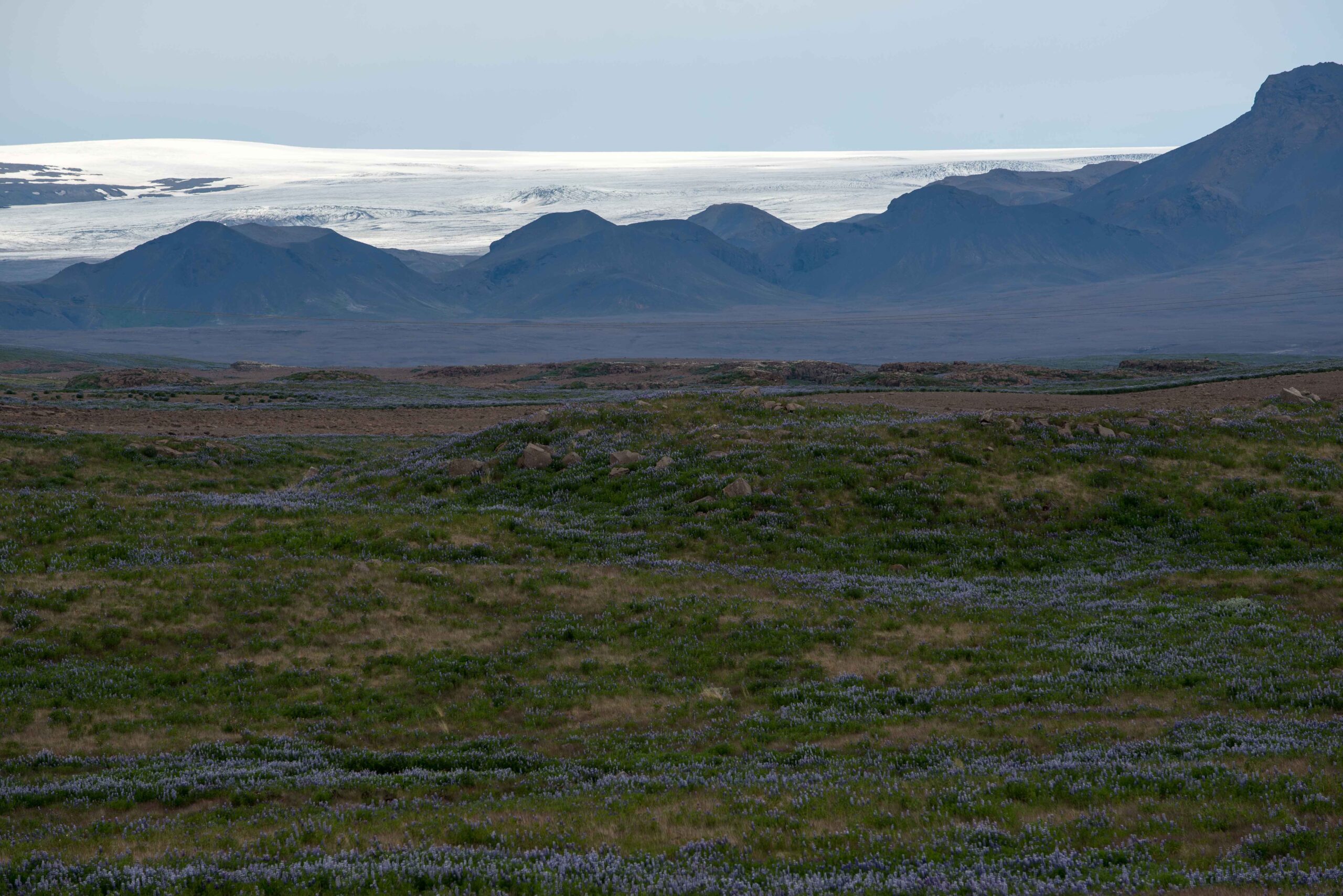
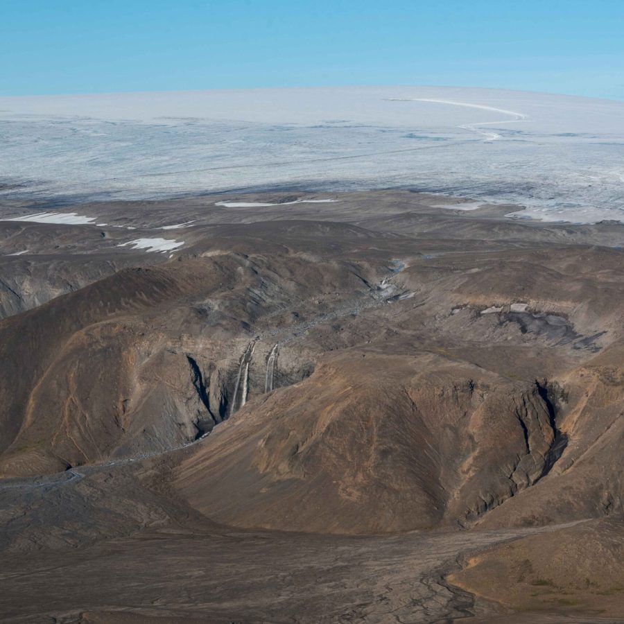
Apart from ice cave tours and snow mobile excursions, there are not many options for tourist to visit Langjökull. Only some tough mountain roads lead up to its outlet glaciers, but to get up close with the ice you still need to walk a long way. Most people just drive past the Langjökull when taking route F35, one of two highland roads connecting north and south Iceland. To the northwest, Langjökull is even harder to reach.
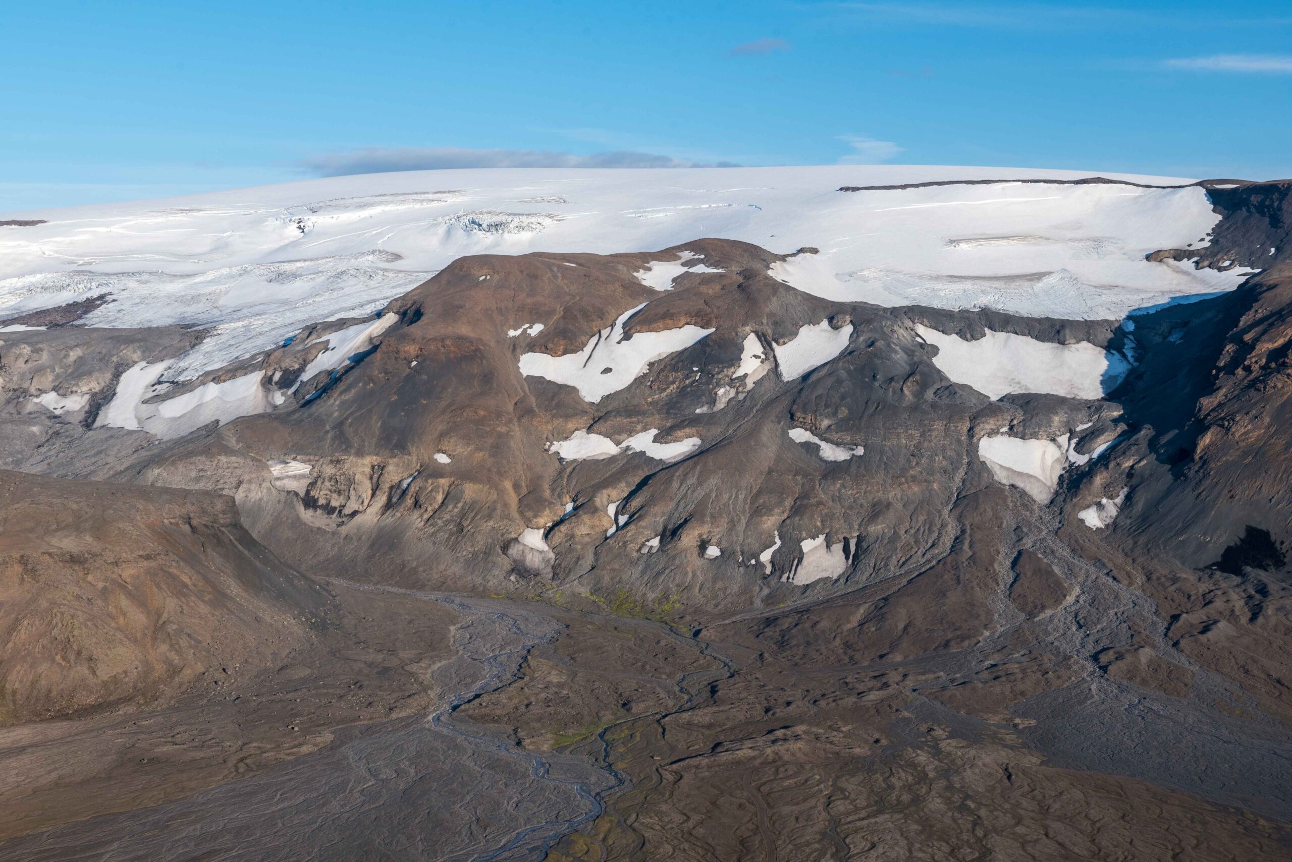
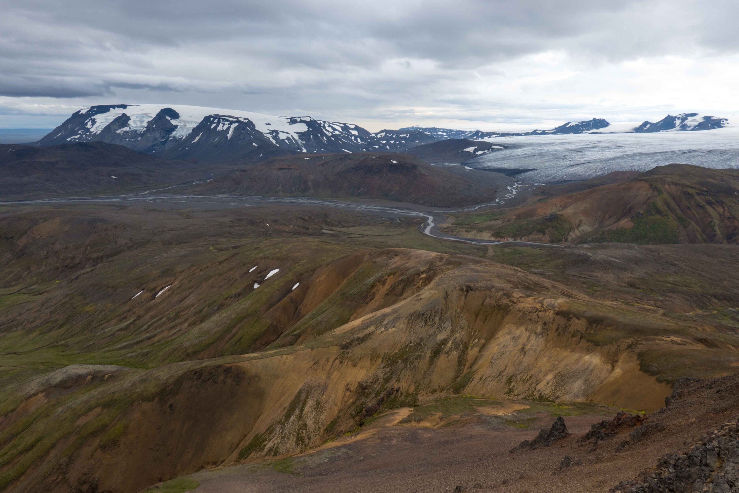
Although Langjökull is quite remote, there is a beautiful three-day hike along its eastern margin called Kjalvegur. The trail follows the old horse track and passes through grassy valleys, along glaciated mountains and over rolling hills. Views change constantly. The trail goes from the hot springs of Hveravellir in the north to the marshes of Hvítárnes in the south, or the other way around of course. There are four cozy huts along the way. Even in peak season you can walk a full day without seeing anyone and have one of the two middle huts for yourself.
Search within glacierchange: