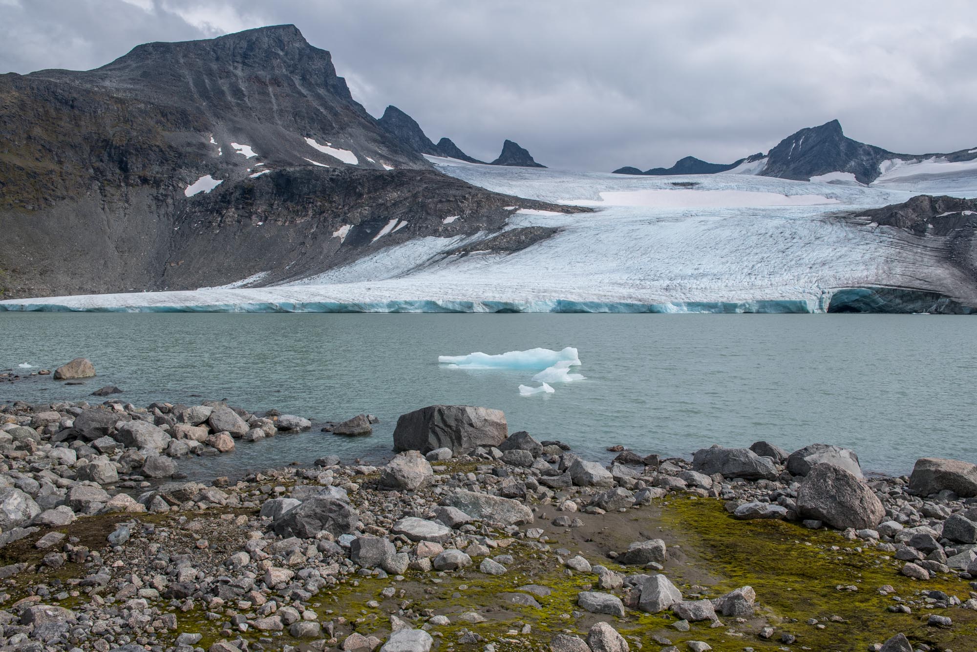
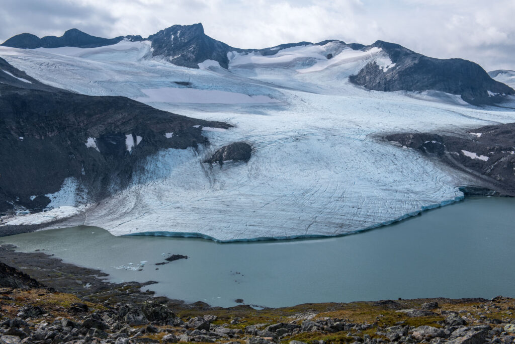
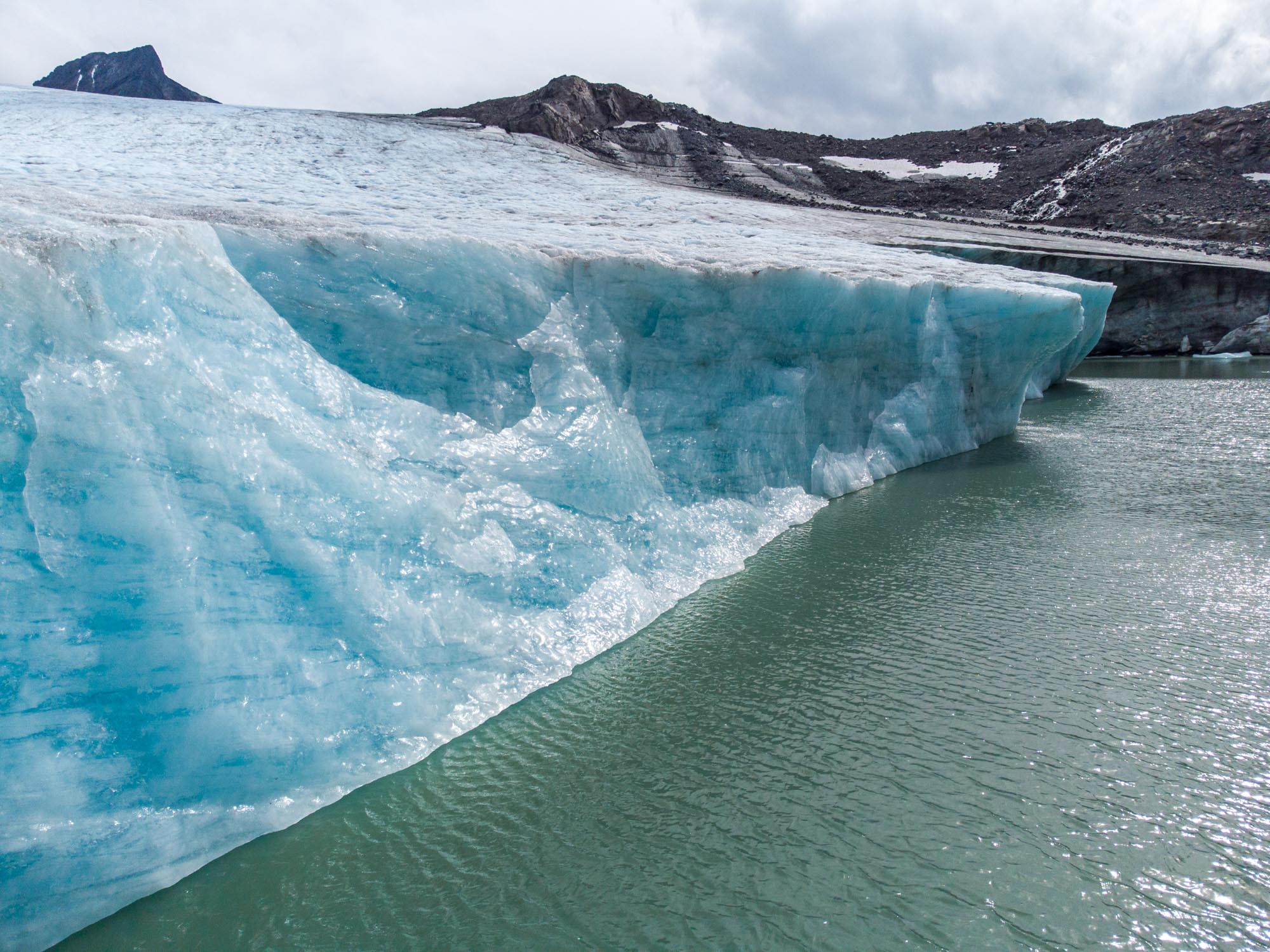
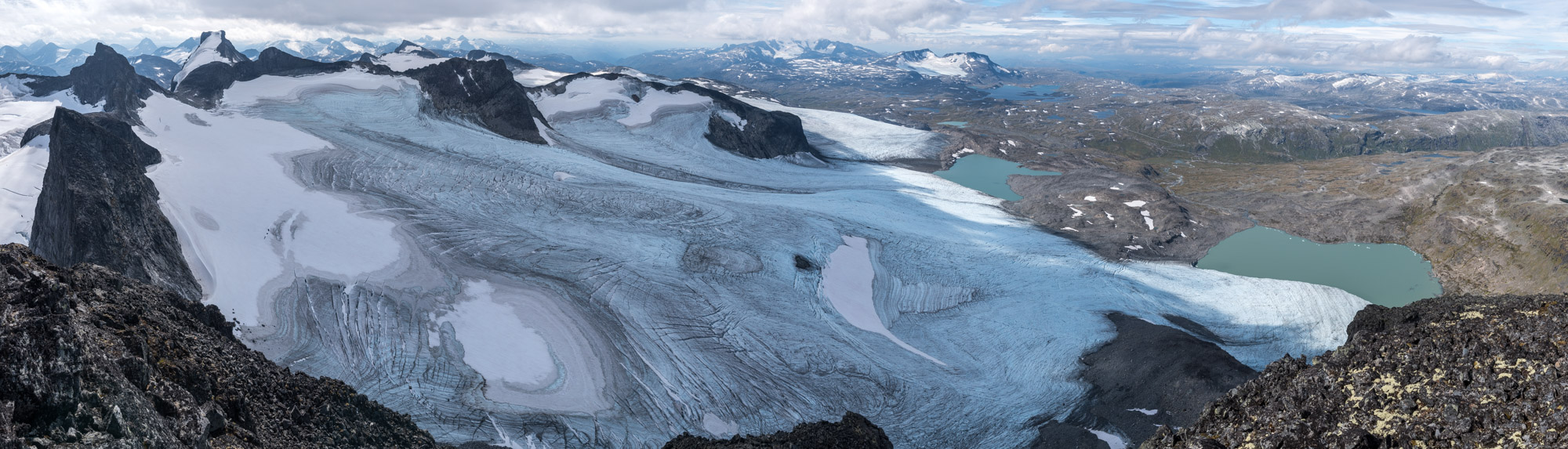
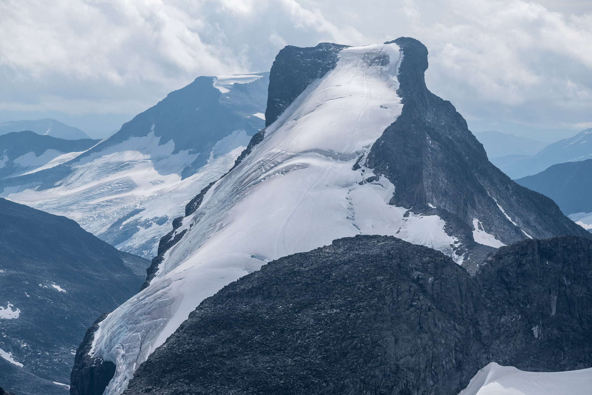
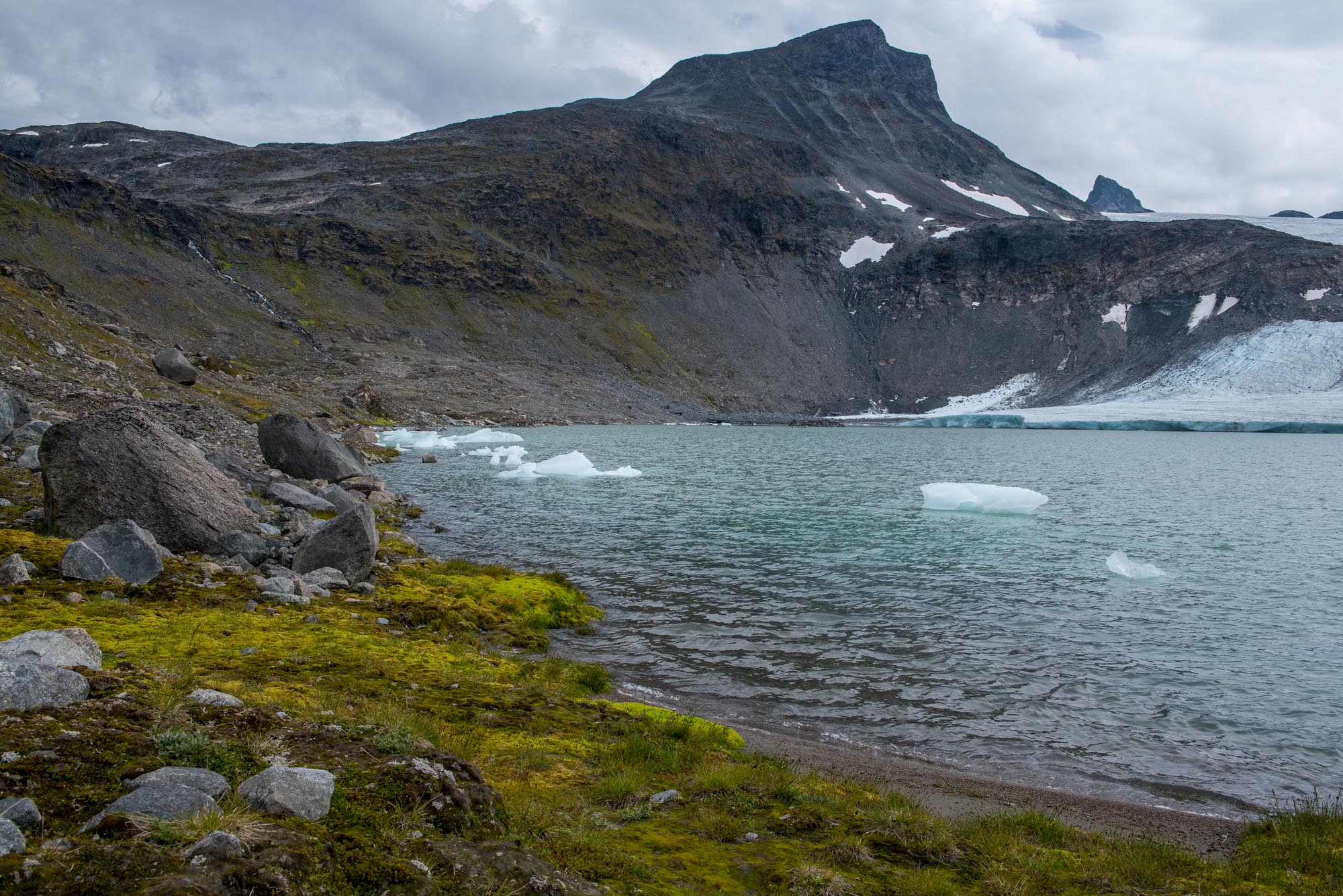
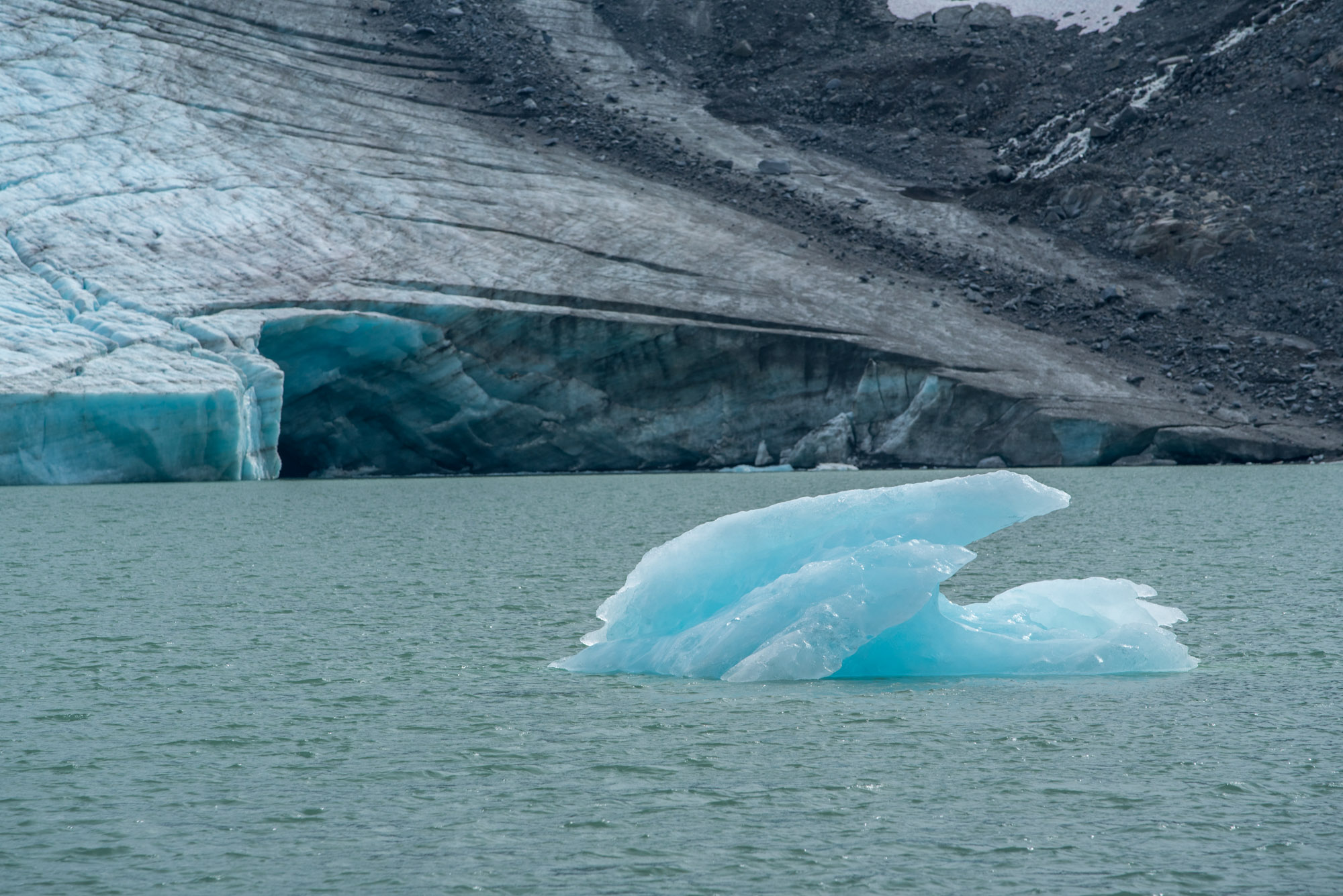
Leirbreen is a gently sloping, 4 km2 large glacier surrounded by mountain peaks of the Smørstabbtindene group. Standing directly north of the glacier, Store Smørstabbtinden forms the highest peak at 2208 m. The glacier descends to an altitude of 1500 m, where it terminates in a lake. Its calving front produces small icebergs.
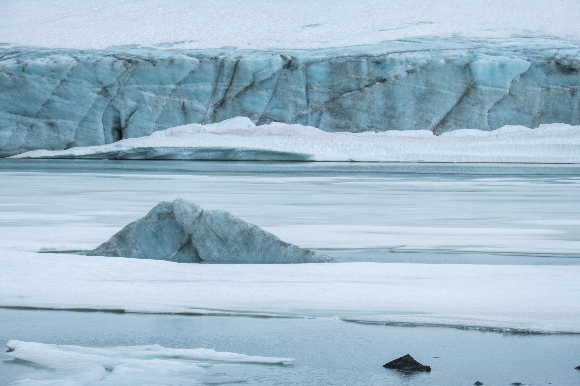
Store Smørstabbtinden (left) with Leirbreen and small icebergs, August 2024.
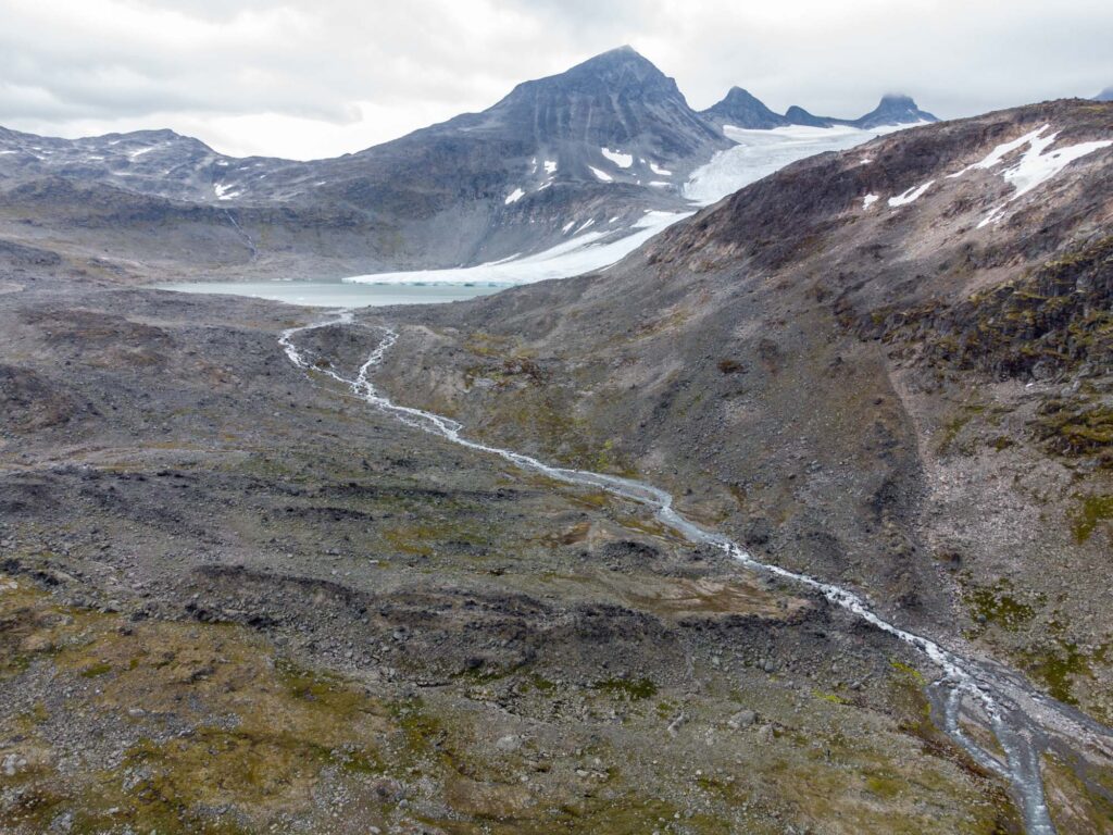
Leirbreen's terminal moraine lies 1 km in front of the present-day glacier, August 2024.
Terminal Moraine
In past times, Leirbreen extended far beyond the lake, thus covering it completely. At its maximum extent, the glacier was over one km longer that presently. There, it left a marked terminal (end) moraine. To find out when the glacier constructed this moraine, scientists excavated parts of it to get to the old soil beneath. With the help of carbon dating, they thought that the plants were buried by the advancing glacier some 1350 years ago and for a second time 300 years ago (Griffey & Matthews, 1978).
Little Ice Age
Later studies have questioned and refuted the supposed extent of Leirbreen 1350 years ago (McCarroll, 1989). Instead, Leirbreen must have had its single largest extent around the year 1750, after a series of colder centuries that are referred to as the ‘Little Ice Age’. Around that time, glaciers in southern Norway were larger that they have been in the last ten thousand years.
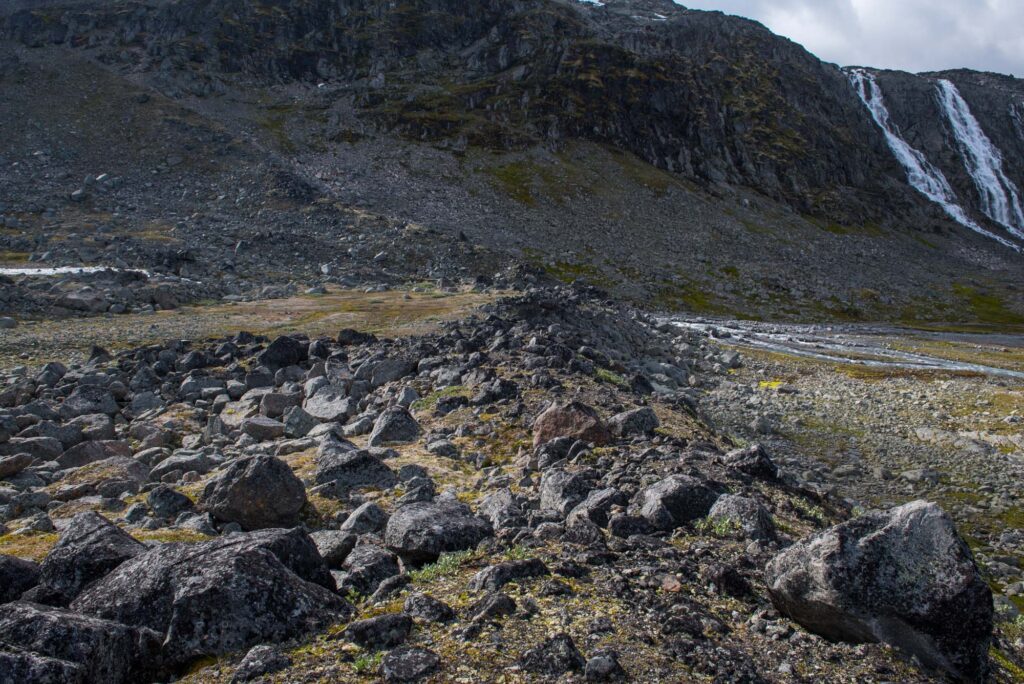
Ground level view of the terminal moraine.
Location of the former ice-dammed lake, now a calm and mossy valley.
Ice-dammed Lake
Although Leirbreen was largest around 1750, it wasn’t before the 20th century that its retreat picked up speed (Chueca & Julián, 2012). One of the first scientists to describe this retreat was De Boer. He visited Leirbreen in 1947 and wrote about its ice margin features, in particular a drained proglacial lake in the northwest with corresponding shorelines, channels and concentric crevasses. He noticed how the water level in the lake mush have lowered in stages as the glacier retreated (De Boer, 1947).
Lake History
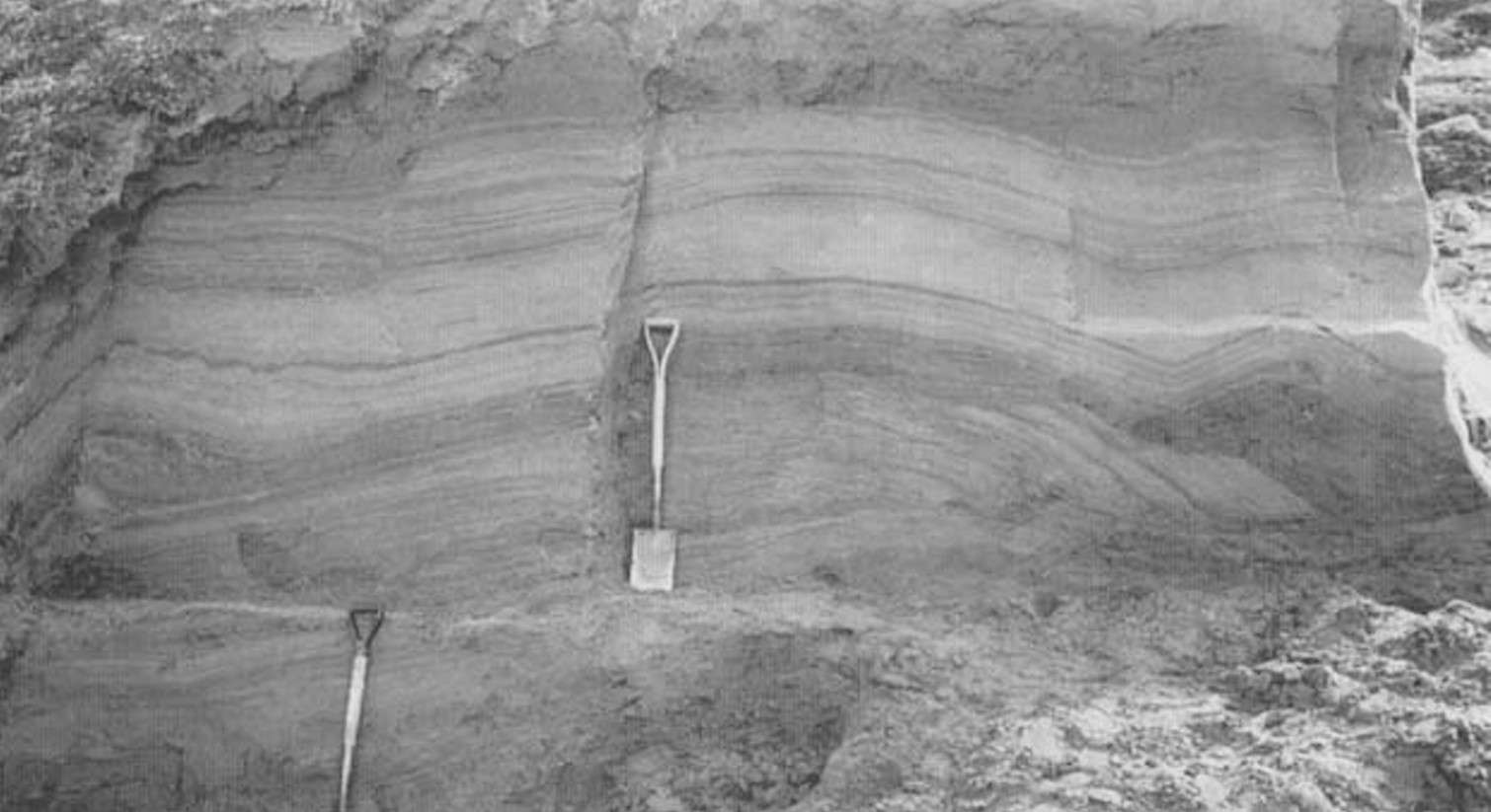
The small lake (150 m wide) had been in place for multiple decades. Meltwater constantly transported fine sediments into it, forming layer upon layer of sands and silts. By studying this stratigraphy very closely, Donnelly & Harris (1989) unraveled the lake’s history: how the water circulated to form terraces, how ripples faded with waning flow velocities and how the lake froze in winter and its surface ice reshaped the shore by wintry glacier readvance.
Hundreds of fine layers of sediment make up the lake floor. Source: Donnelly & Harris, 1989.
Party frozen lake in front of leirbreen.
Leirbreen in 2003 (by Miriam Jackson, NVE Fotostrøm) and 2024.
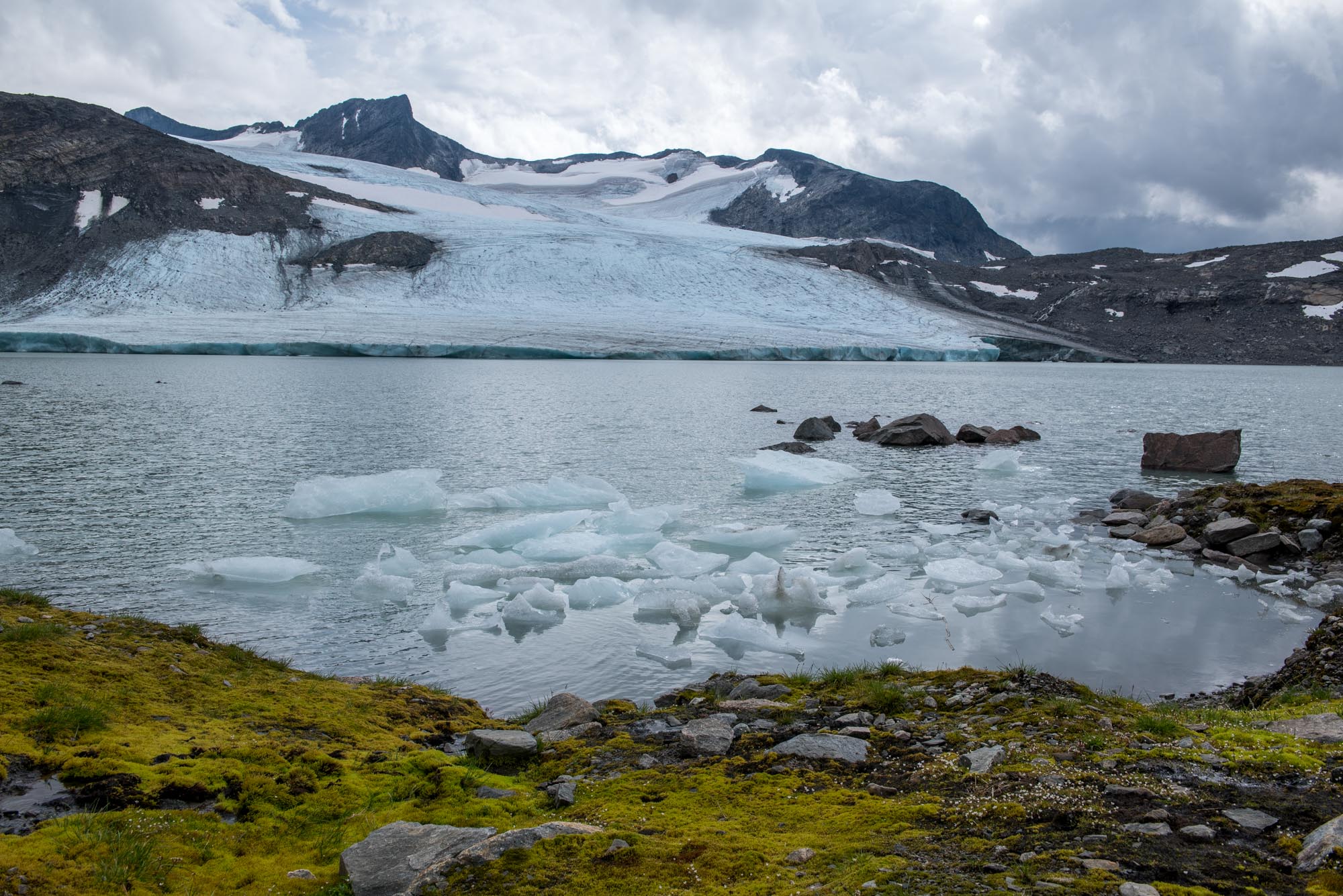
Birth of Proglacial Lake
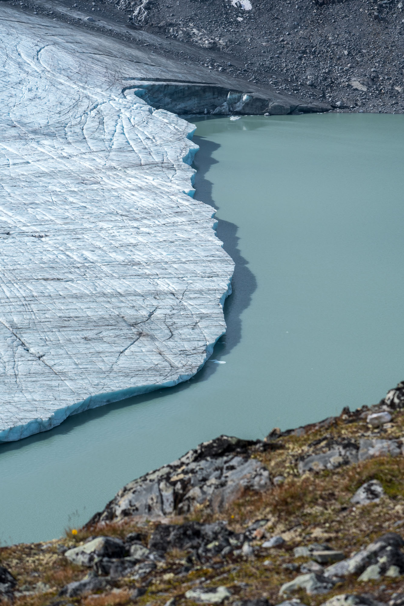
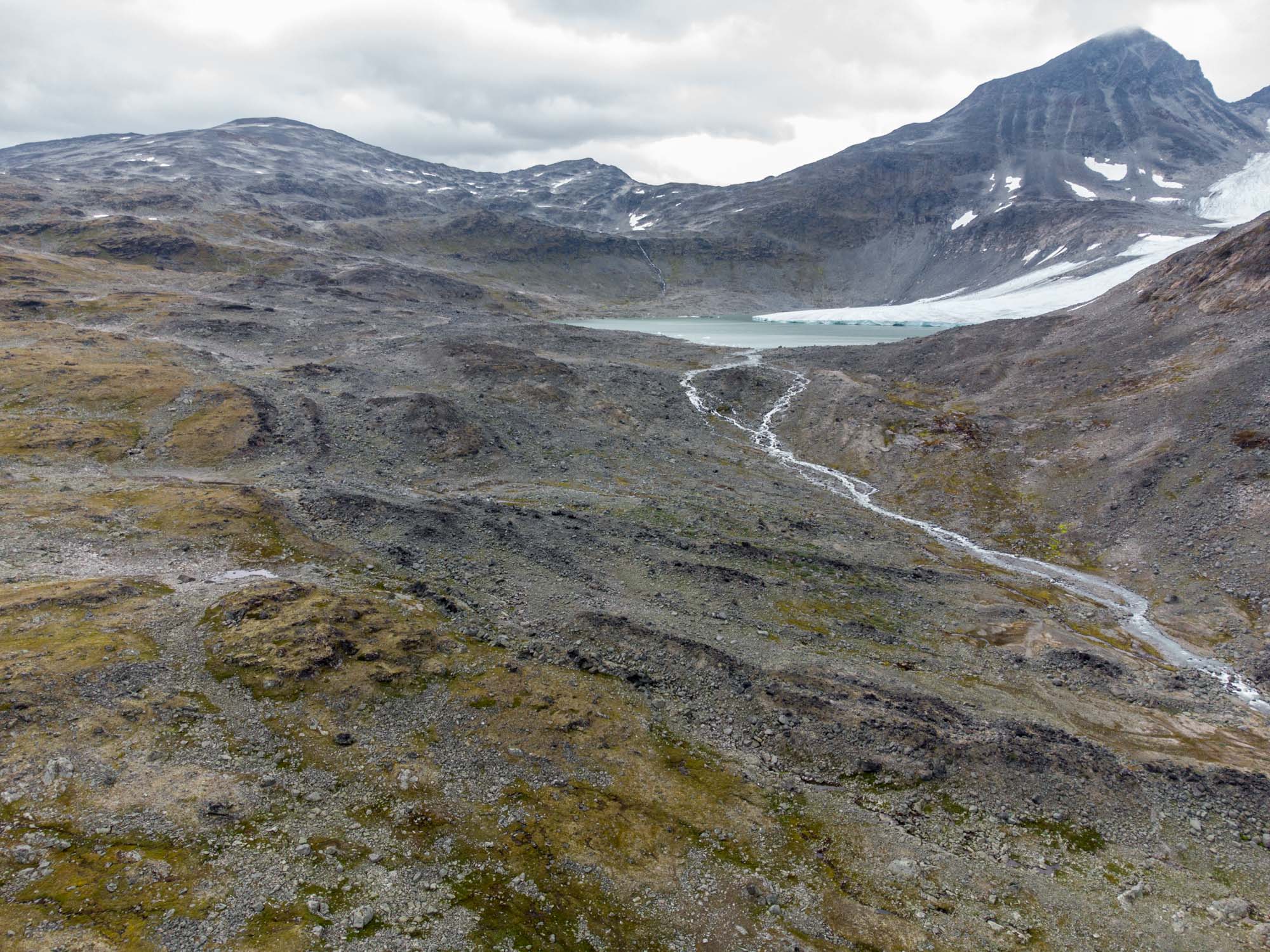
In the late 1980’s, a new lake appeared in the south. At first it was thought to be ice-dammed as well, but this actually turned out to be the birth of proglacial lake in which Leirbreen still calves. While remaining small throughout the 1990’s, the lake considerably grew in size since the early 2000’s. Leirbreen has now retreated 500 m from the shore.
Receding, Disconnecting
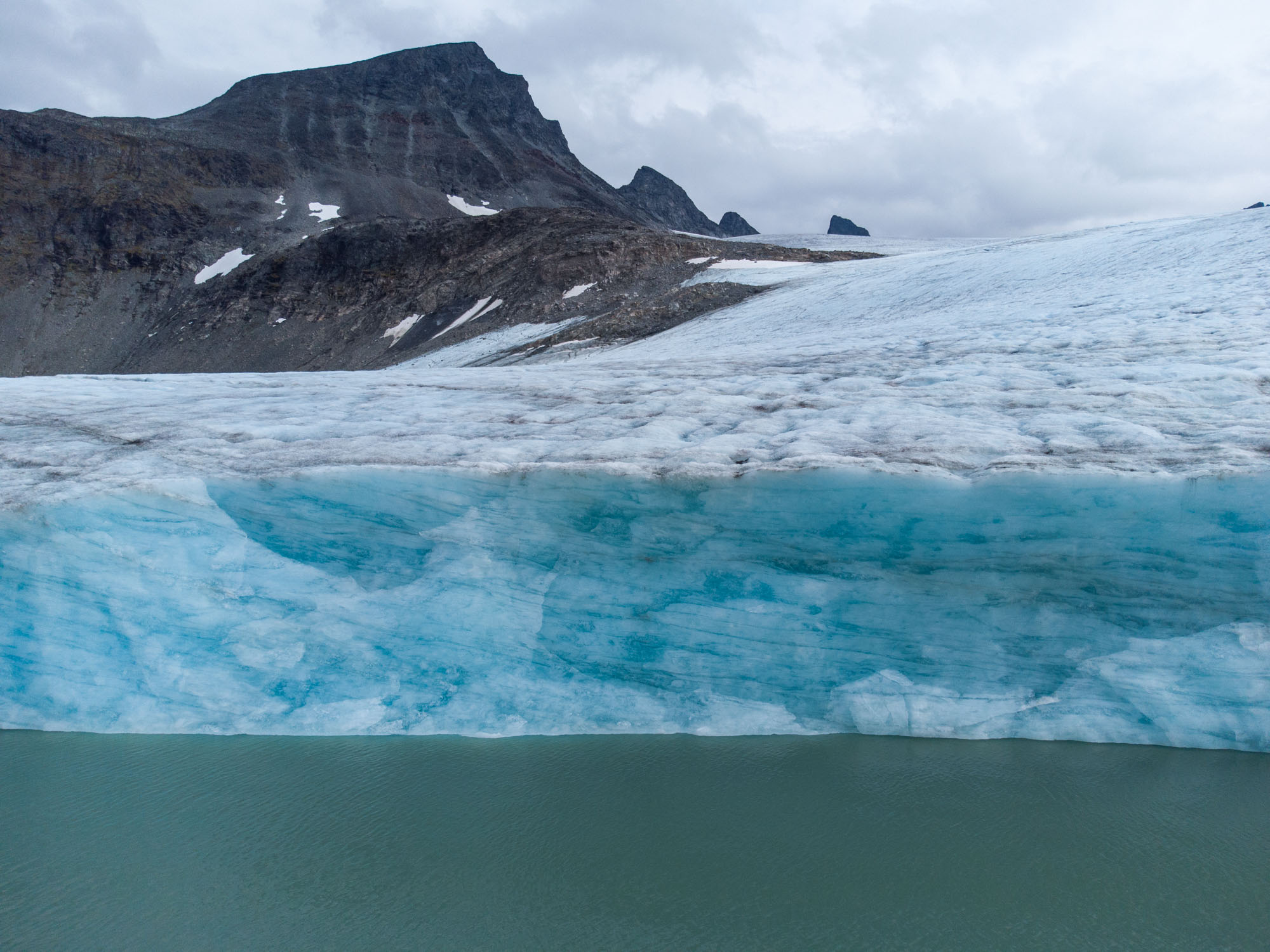
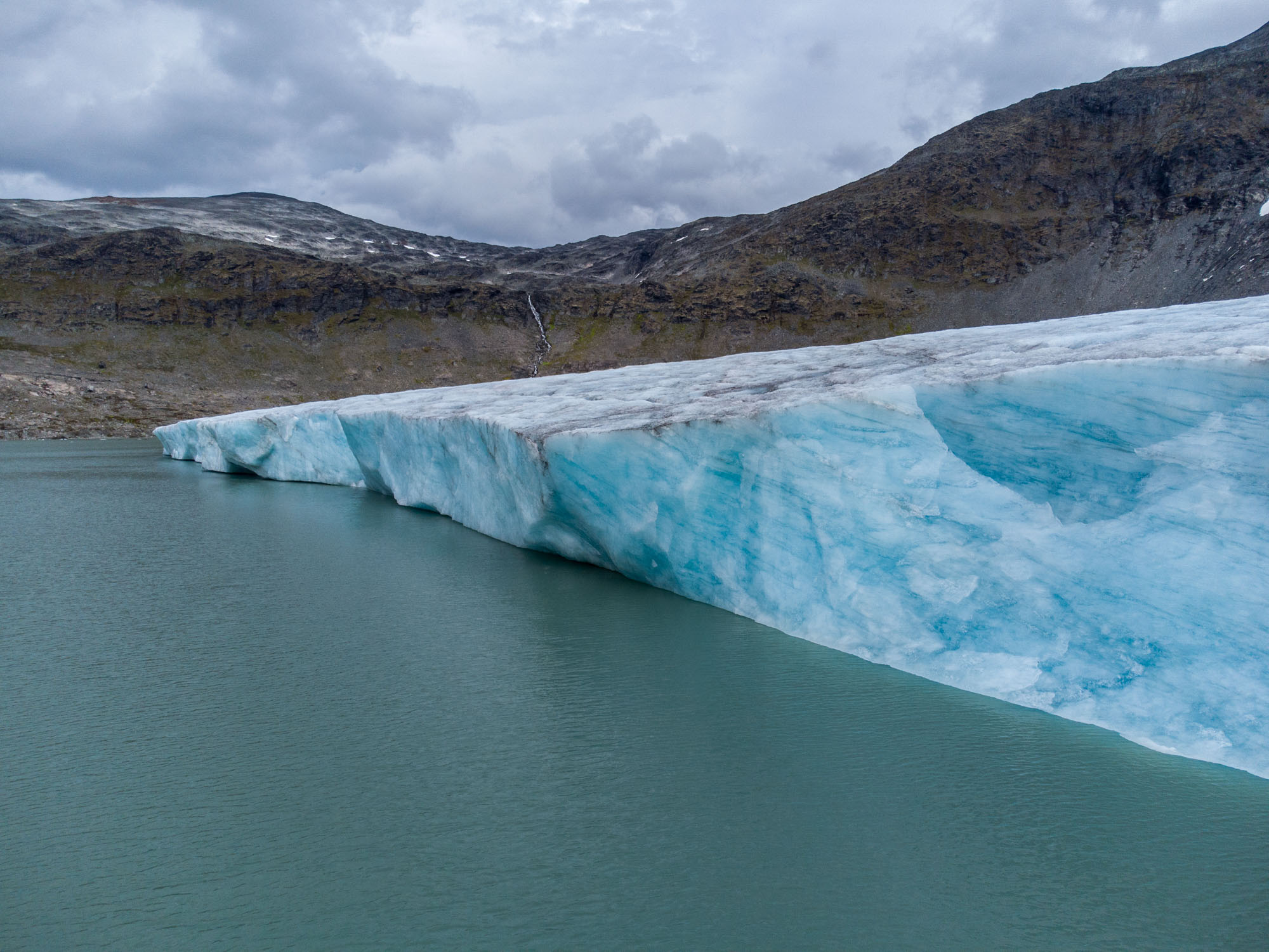
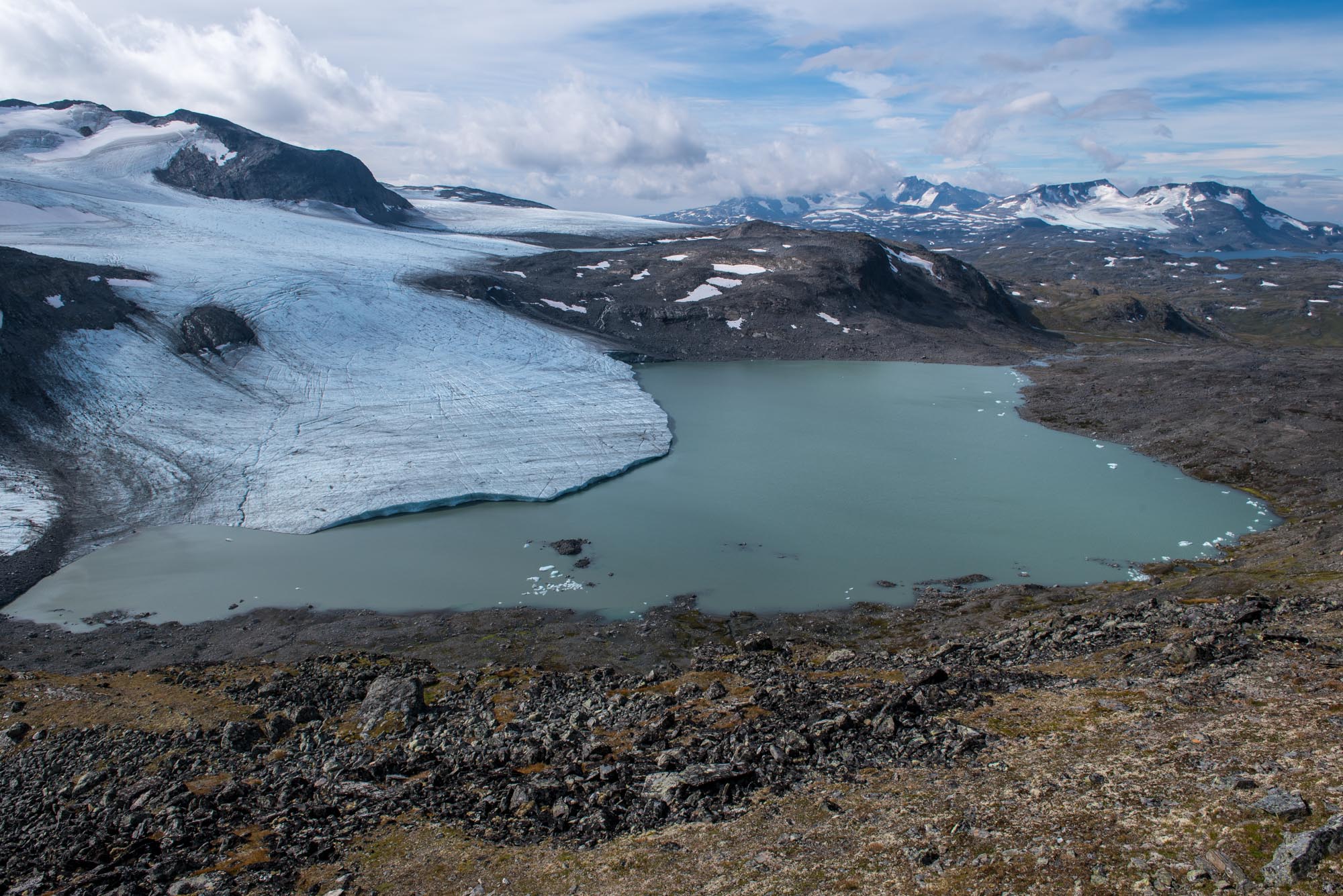
Leirbreen is entering a critical phase. The part of the glacier that occupies the lake is connected to the upper ice field by a thin section, which is getting weaker with every summer. Within the next decade, the snout could get disconnected. Though by then, there might not be a snout left at all: it recedes by 20-30 annually (NVE), with only 300 m left.
Leirbreen is receding 20-30 m annually and thinning.
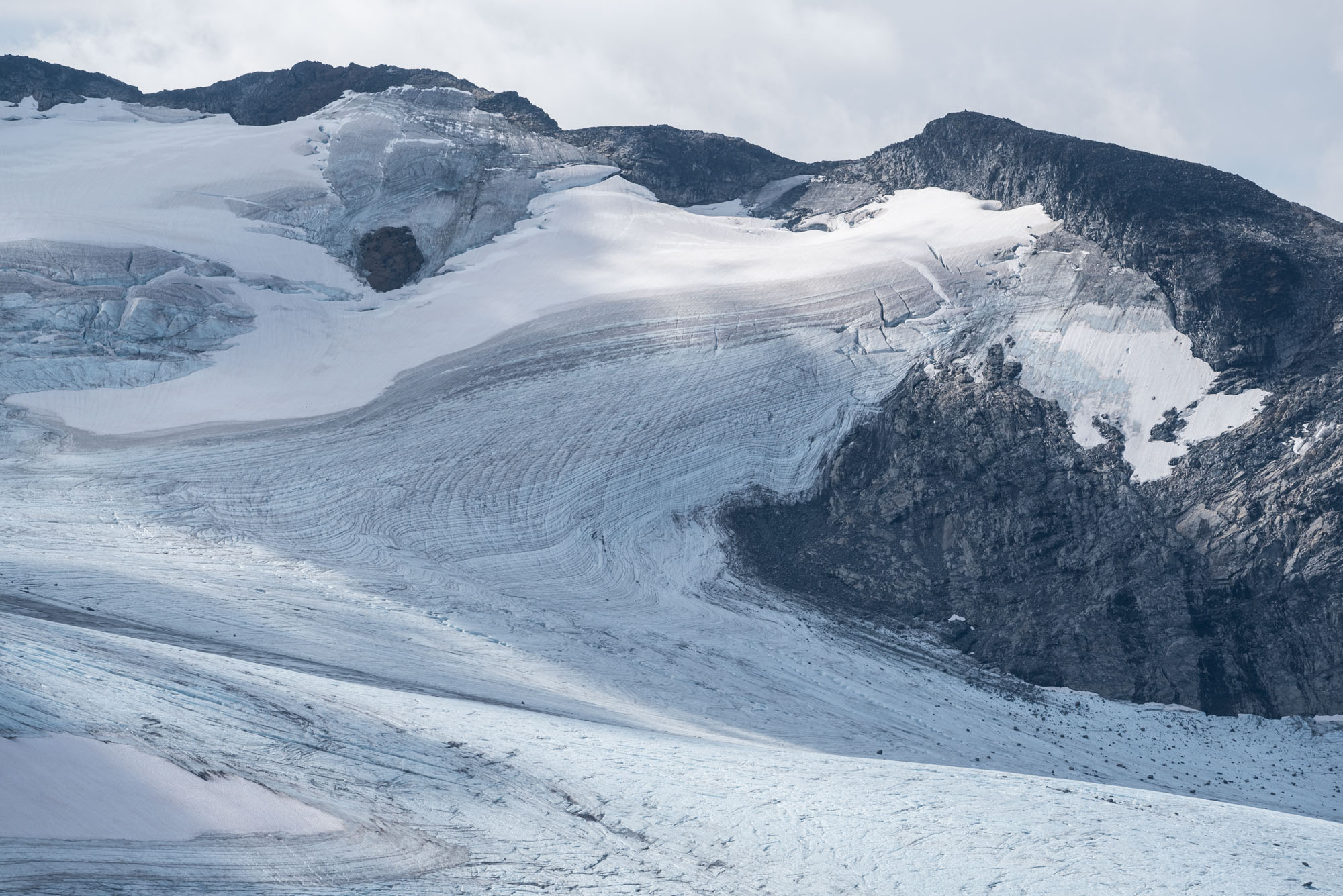
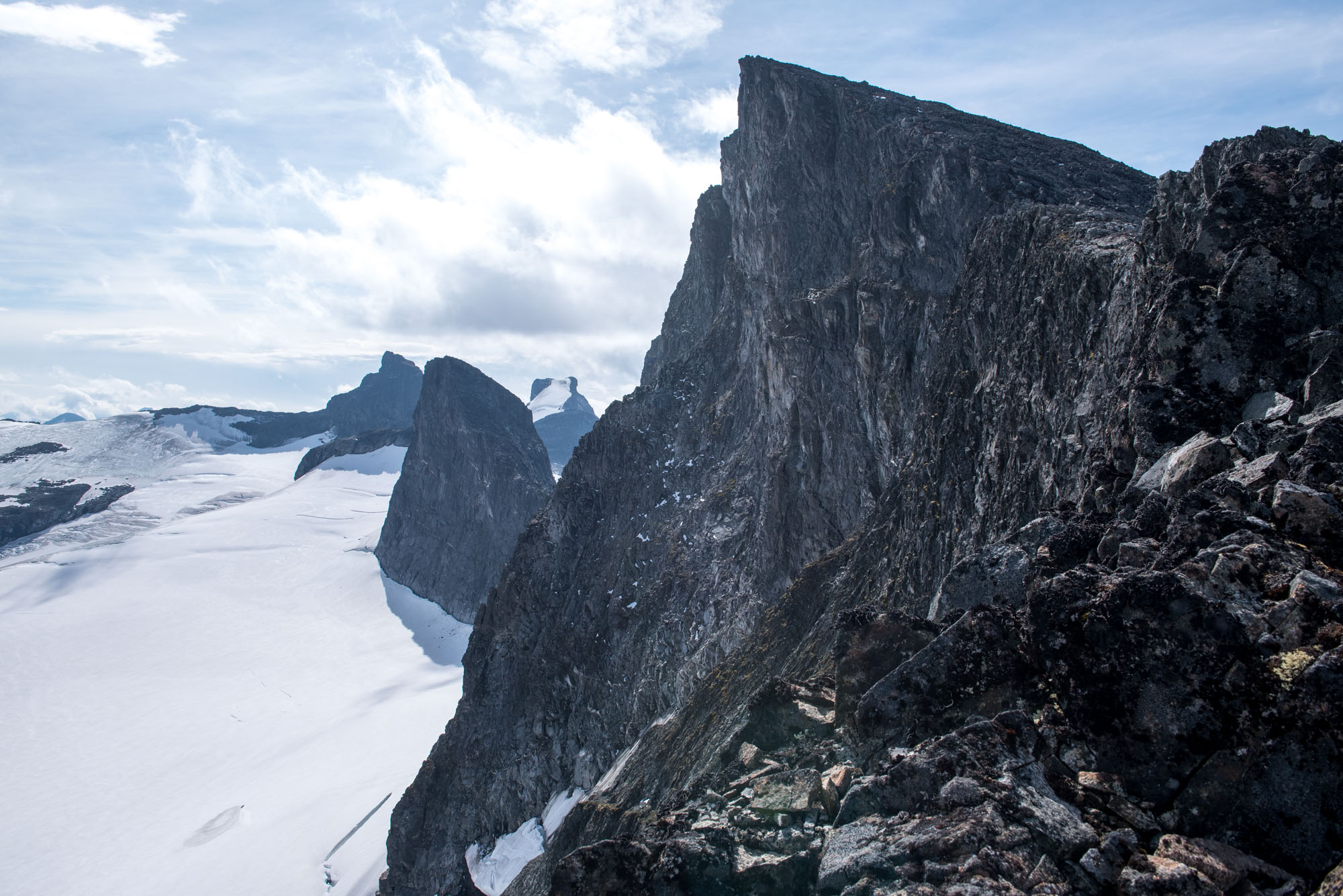
Upper ice field of leirbreen. Fannaråki and Hurrungane in the background.
Upper Ice Field
The upper ice field is also losing mass. In most summers all snow melts, leaving nothing but bare ice. As the ice surface lowers, even here rocks start to protrude.
Leirbreen (left) and Bøverbreen in 1938 and 2024, seen from Fantesteinsvatnet. Source 1938: Ralph L. Wilson, University of Bergen Library photo ubb-wil-m-561.
Hike from Krossbu
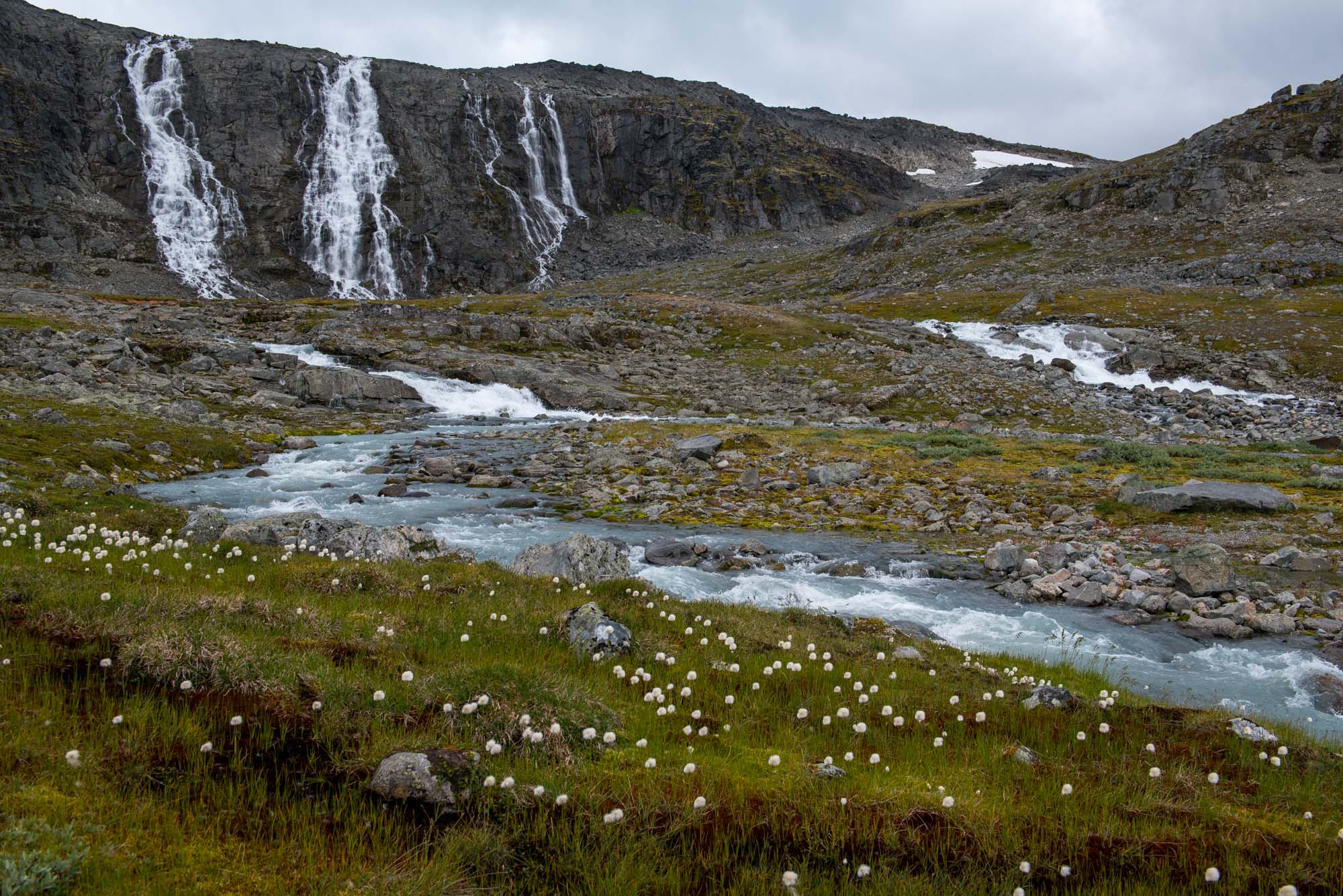
Visiting Leirbreen is easy. Starting at the tourist hut (annex campsite) Krossbu along Sognefjellsvegen, it’s a relatively short walk of 2.5 km and 250 m up. After 2 km the trail crosses a ridge of big boulders, which is the terminal moraine from 1350 and 300 years ago. Another 500 m further lies Leirbreen in its lake with icebergs. Enjoy while it lasts.


")
")