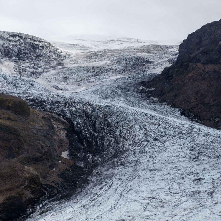
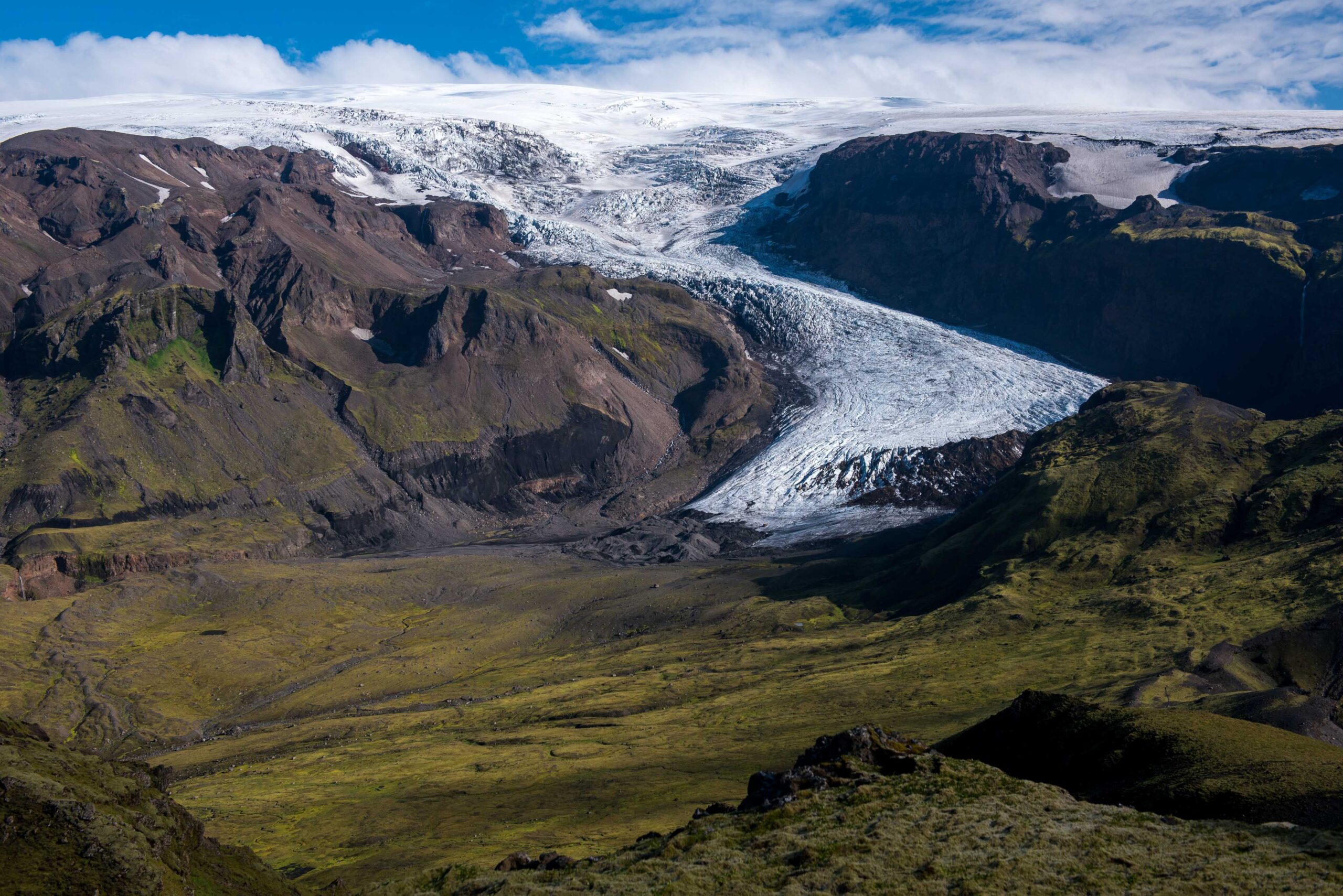
At the southside of Mýrdalsjökull lies Mosakambsjökull. The glacier was formerly known as Thoroddsenjökull, after the Icelander who published a geologic map of his country in 1901. But the glacier is best known for a plane crash.
Thorvaldur Thoroddsen (1855-1921) was the first to depict the location of Katla volcano much more precisely. And it’s that massive volcano at whose slopes Mosakambsjökull starts. When Thoroddsen stood near the glacier, it was bigger than it had been in thousands of years. Around the turn of the century the glacier extended 1.2 km further down-valley than presently. Somewhere halfway both extremes lies a moraine formed in the 1990’s, when the south region experienced a period of relative cool summers and wet winters.
Besides a climatological record, the intermediate moraine also holds a tragic history. Squeezed between boulders and gravels are the remnants of an American military airplane. The plane crashed just before Christmas 1953 at the upper slopes of Mýrdalsjökull, due to bad weather. Of the crew of nine only one was found – the others disappeared under an ever thickening layer of snow, as did the plane itself.
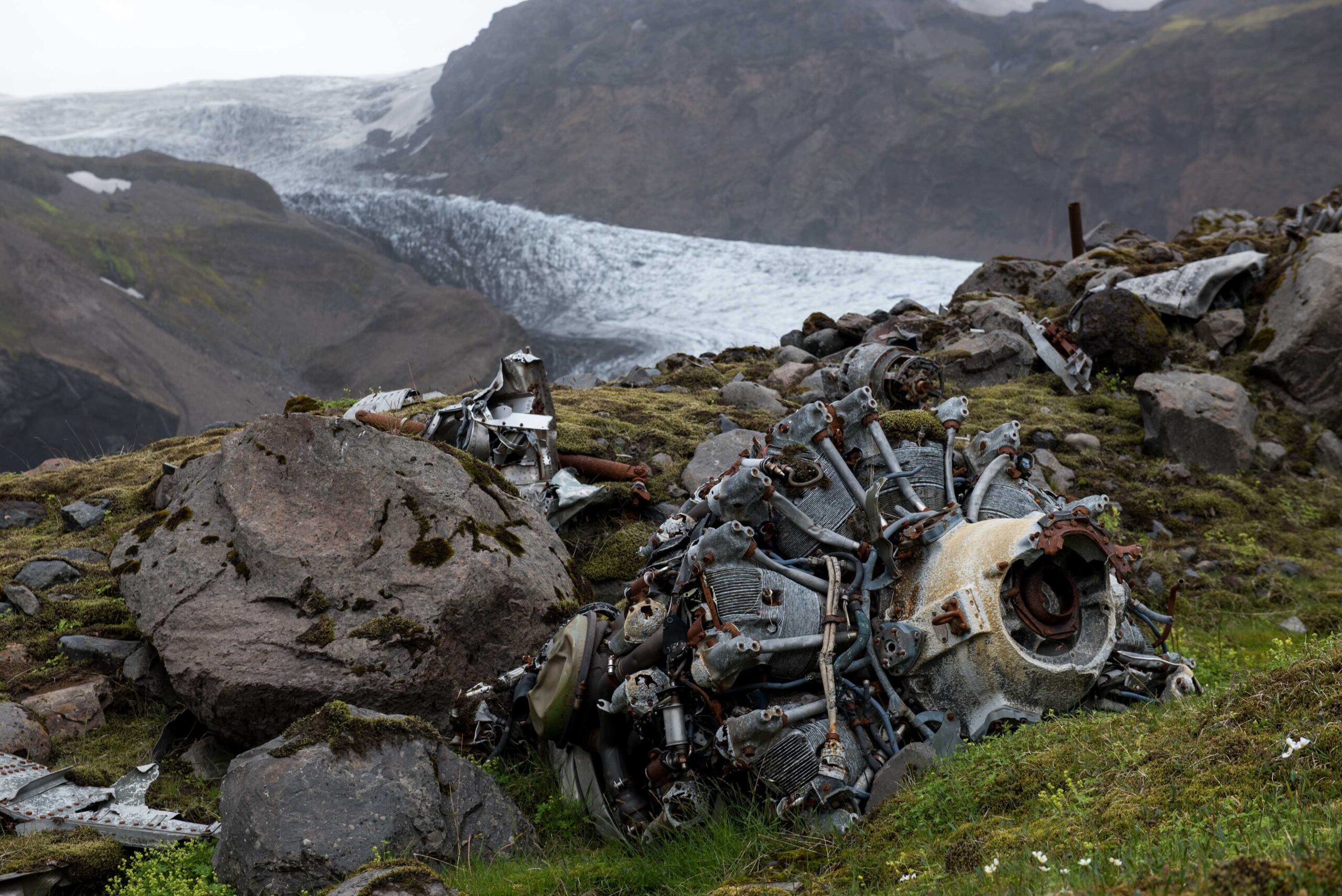
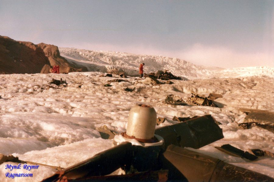
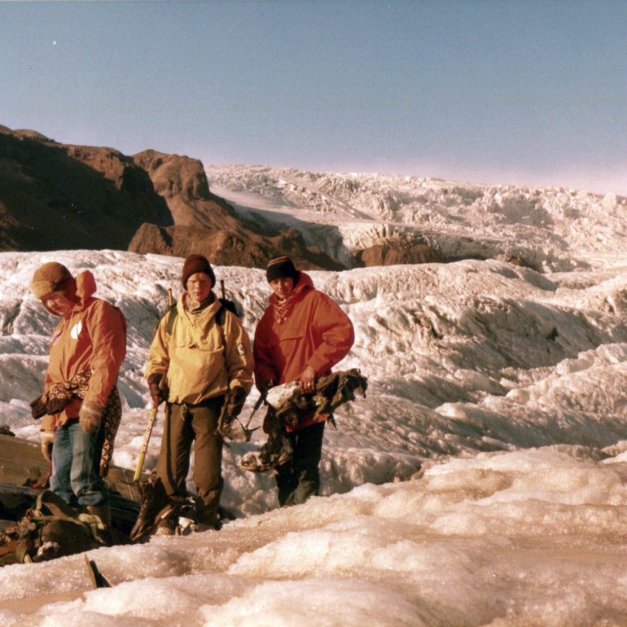
As the glacier moved slowly downhill, so did the plane and its crew. Eventually they reached the ablation zone and the thick layer of ice and snow above them began melting away. In 1981, twenty eight years after the fatal crash, the Neptune-aircraft appeared at the glacier’s surface. It was twisted in all kinds of way due to the forces of the ice. Most of the remnants of the plane were never recovered and ended up in the moraine ten years later.
Þórir Kjartansson was a member of the rescue team of Vík and surrounding area when the plane was rediscovered in 1981. He and his team found the other eight bodies. They saw that not all crew members had died instantly, because two emergency fire pots had been used. Journalists from all over the world were interested in this story and Þórir even sent his film negatives to the renowned French newspaper Le Monde, but feels sorry he never got the copies he was promised.
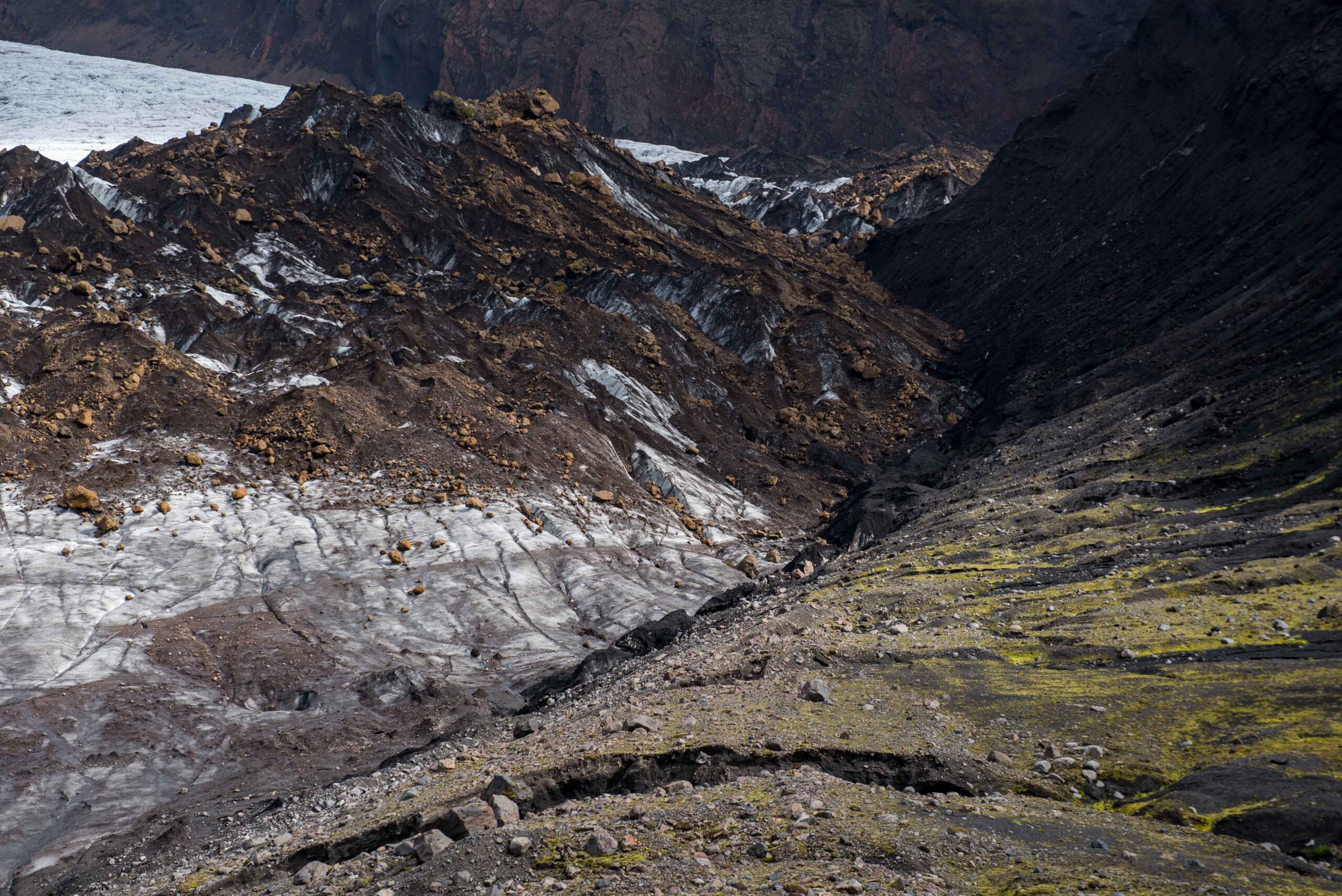
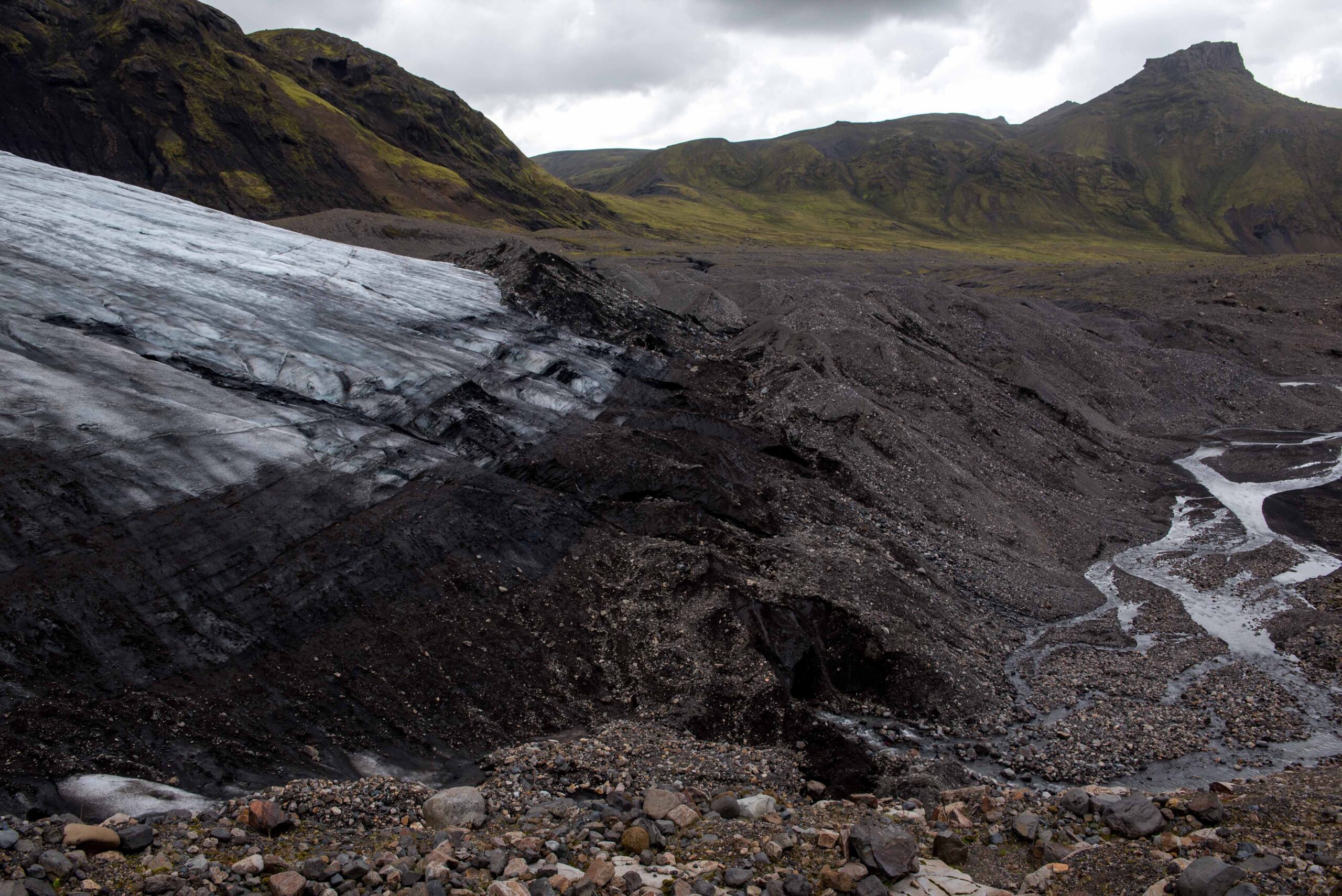
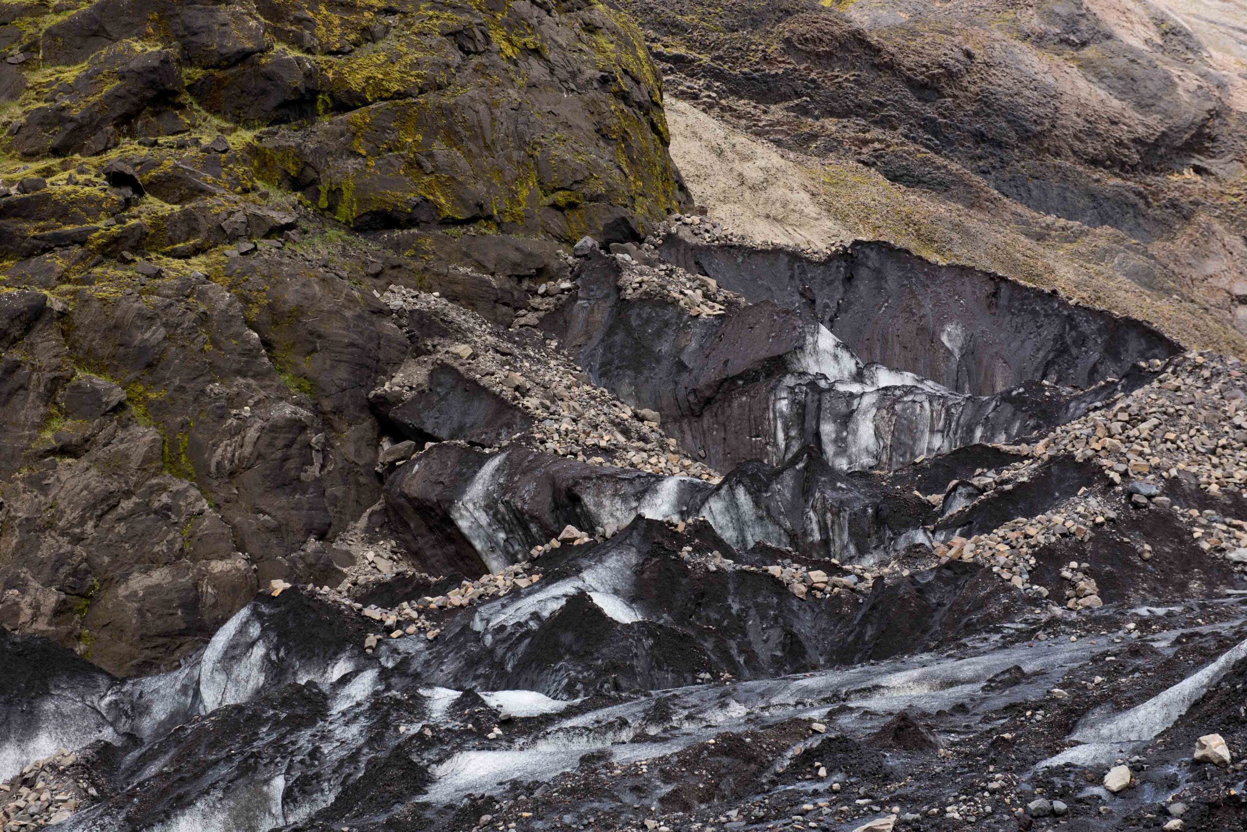
In the years 2004-2005 something else fell onto the glacier. Parts of the mountainside to the east collapsed and covers a part the glacier since then. This thick layer of rocks protects the ice from the sun, thus lowering melt rates. That only helps the eastern side of the glacier, as the rocks can’t spread sideways, only downwards. Because the western part is not covered, it melts faster and is therefore up to twenty meters lower. Now, after twenty years, the debris-covered area has reached the snout. It therefore locally advances a bit.
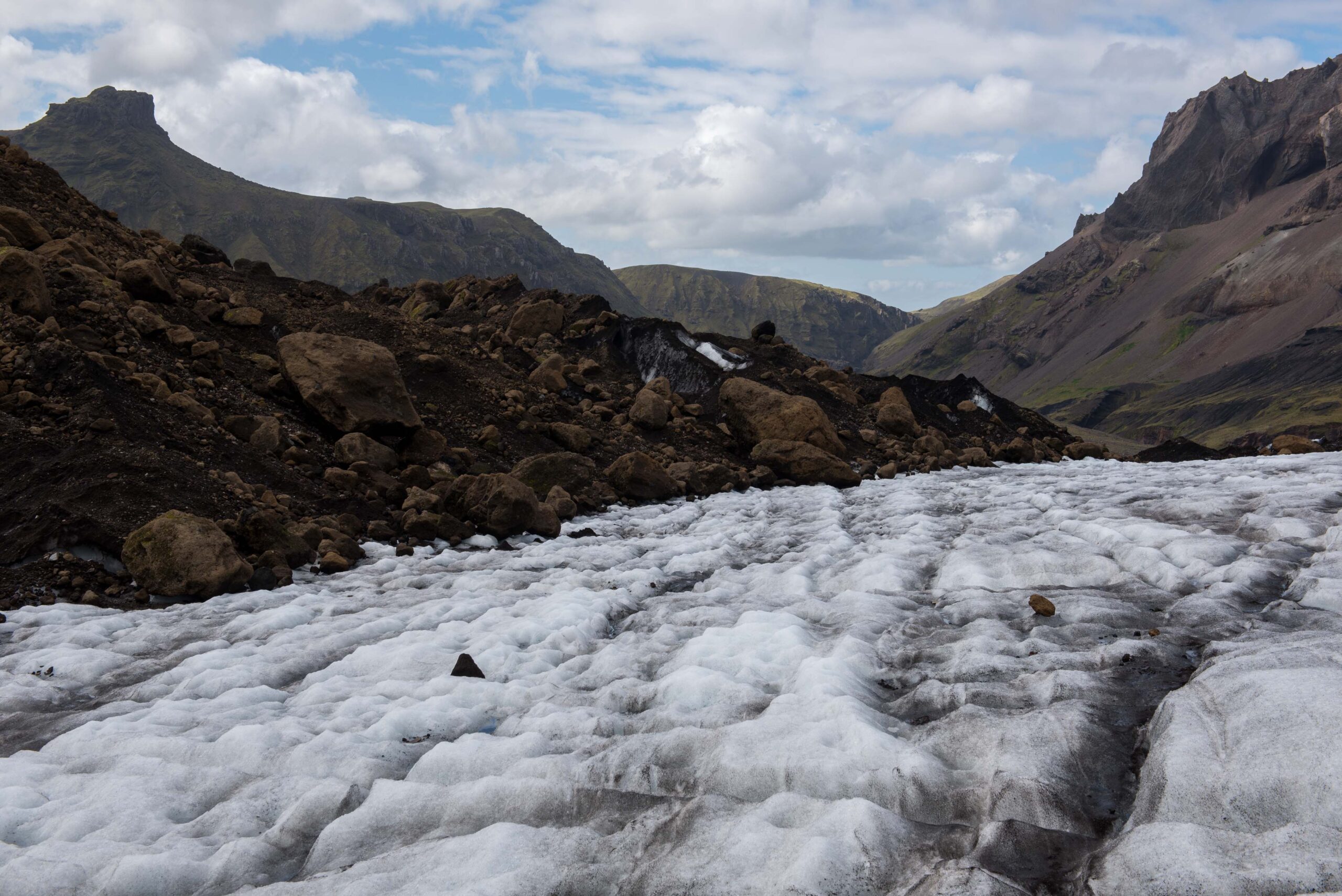
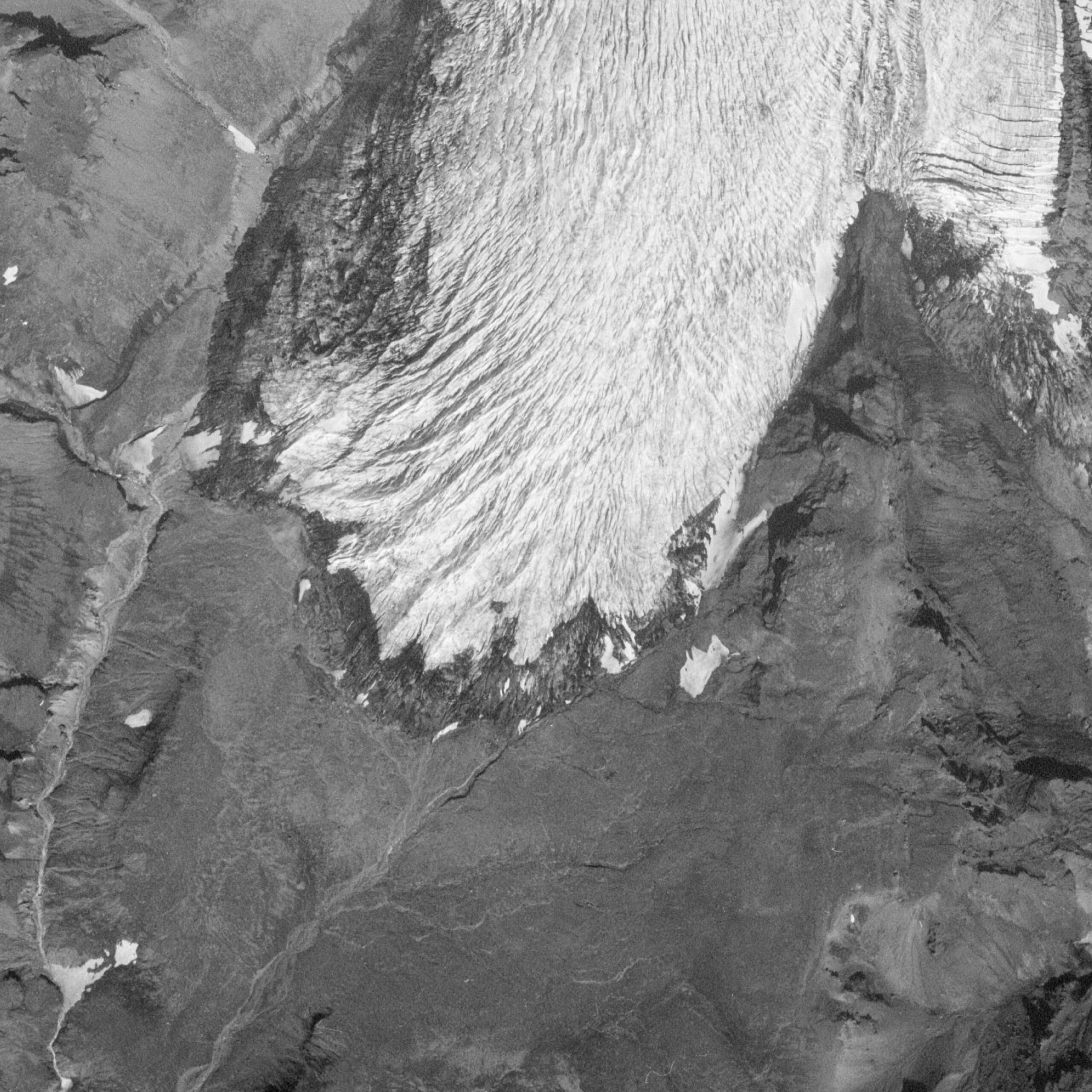
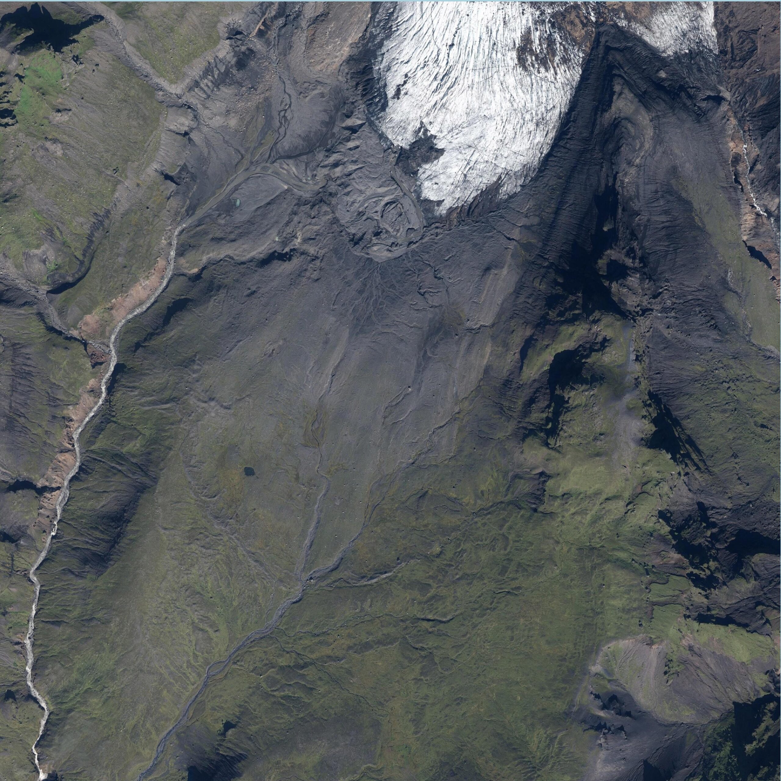
Mosakambsjökull in 1977 (left) and 2020. Source: Landmalingar Island en Loftmyndir ehf.
Besides advancing as a result of the protective layer of rocks, the glacier also profits from a series of wet winters. Snowfall has increased for some years and helps to transport more ice to the snout. The non-covered western side of the glacier has therefore also stopped retreating. But to see these positive results one has to use a magnifying glass. While the glacier receded by tens of meters annually, it now advances by a few meters at best. Moreover, this situation won’t last. The insulating layer of rocks will disappear within a few years, when the glacier ejects them at its snout. Just as it did with the plane thirty years ago.
Search within glacierchange: