The glaciers of Mýrdalsjökull form the 4th largest ice cap in Iceland, and the southernmost one. Its location close to the Atlantic Ocean makes it one of the wettest places in the country.
Mýrdalsjökull is the most dangerous ice cap of Iceland. Hidden below hundreds of meters of ice lies the country’s second most active volcano: Katla. Its lava melts vast quantities of ice and all this water rushes down towards the plain. On its way the flood sweeps away roads, buildings and farmlands. Since the settlement of Iceland around the year 870 Katla erupted already twenty times, so about every sixty years or so. The last eruption dates from 1918, which was a particular violent one.
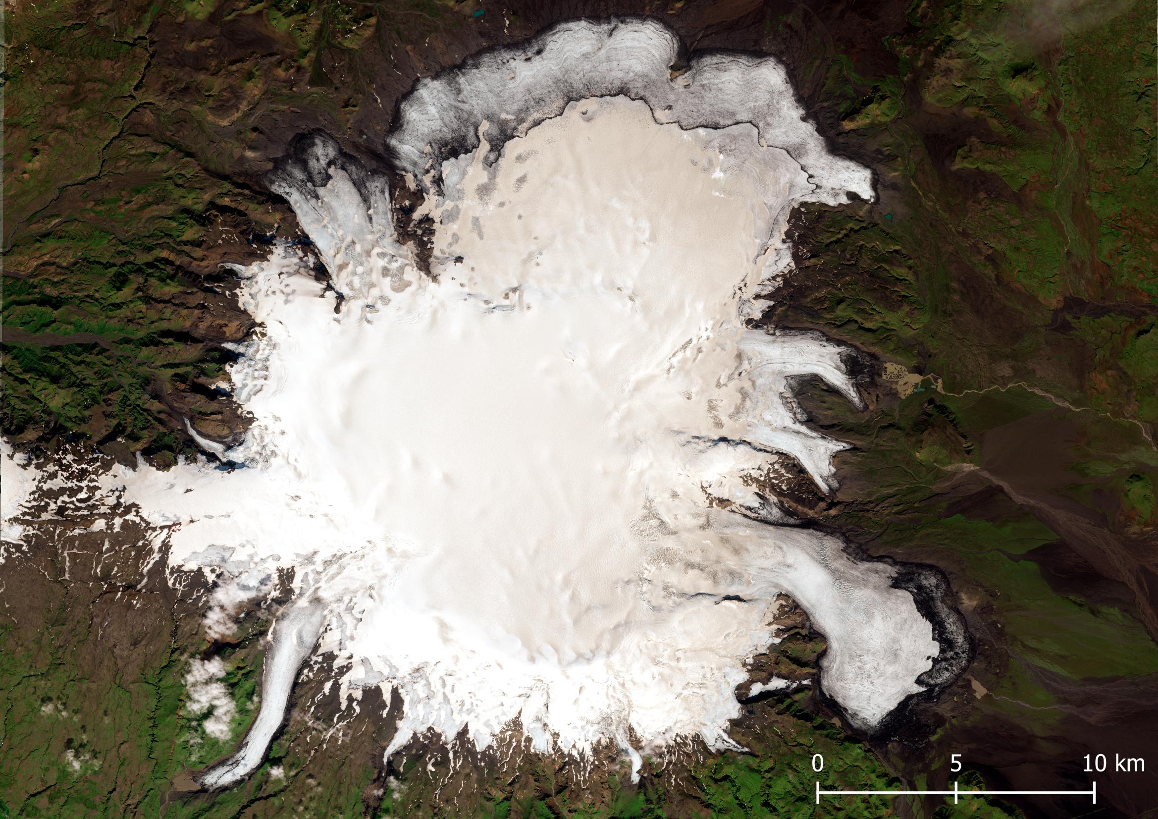
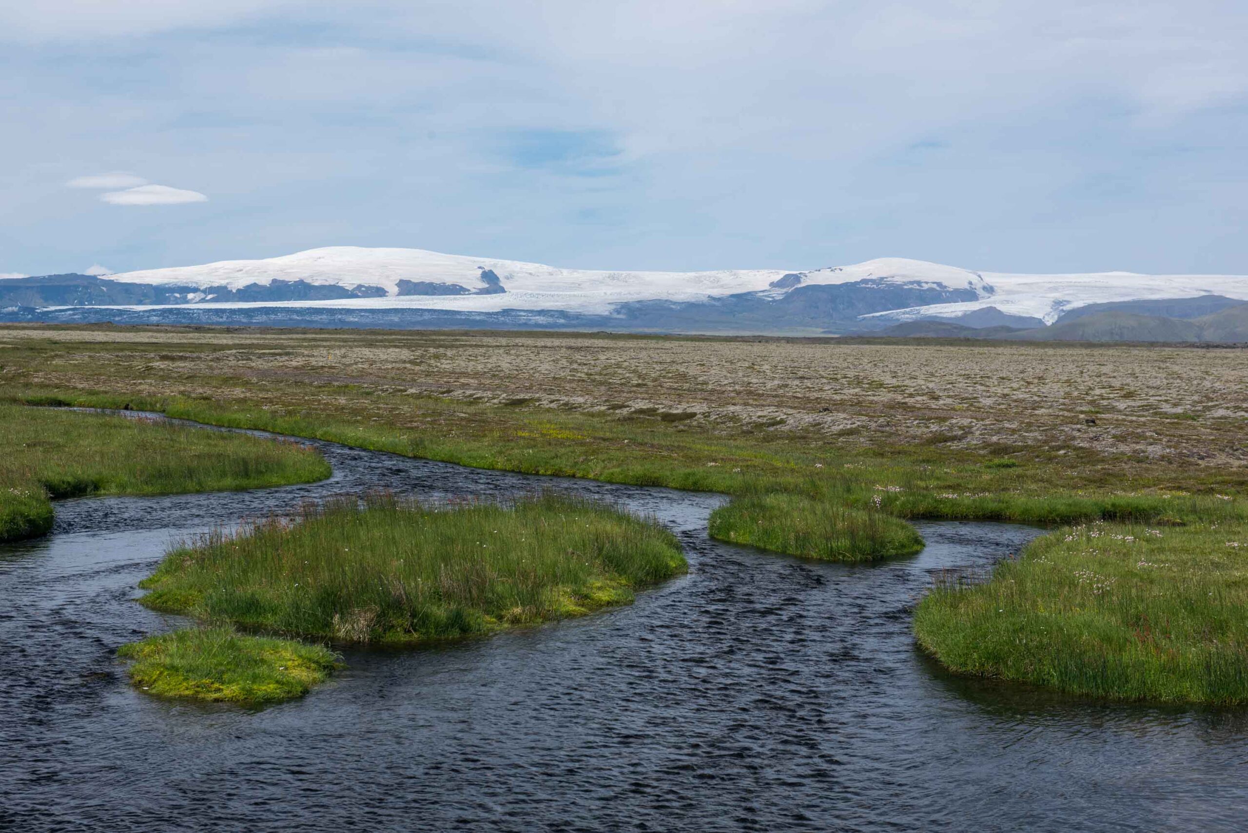
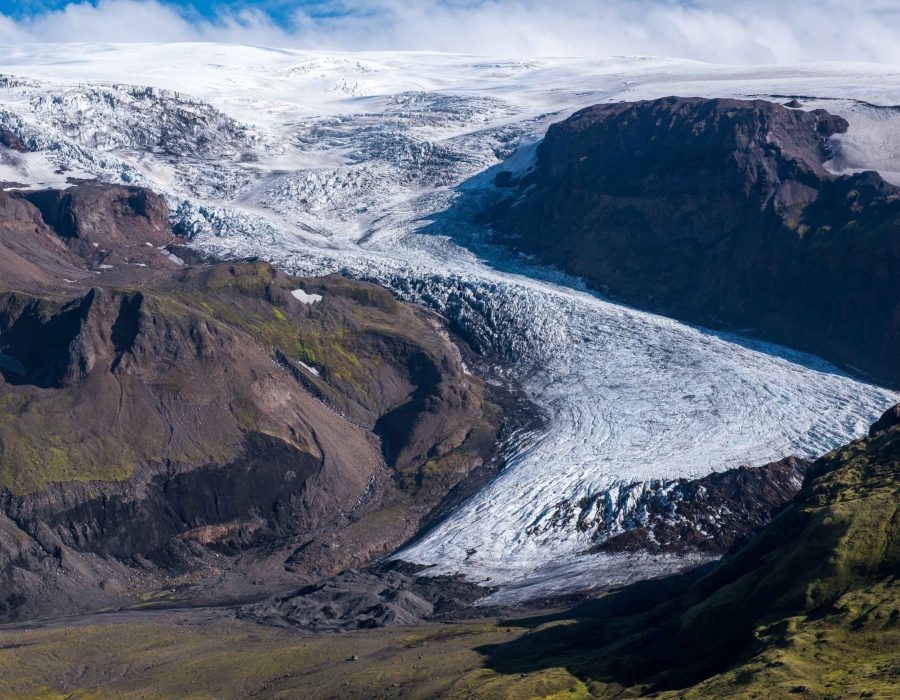
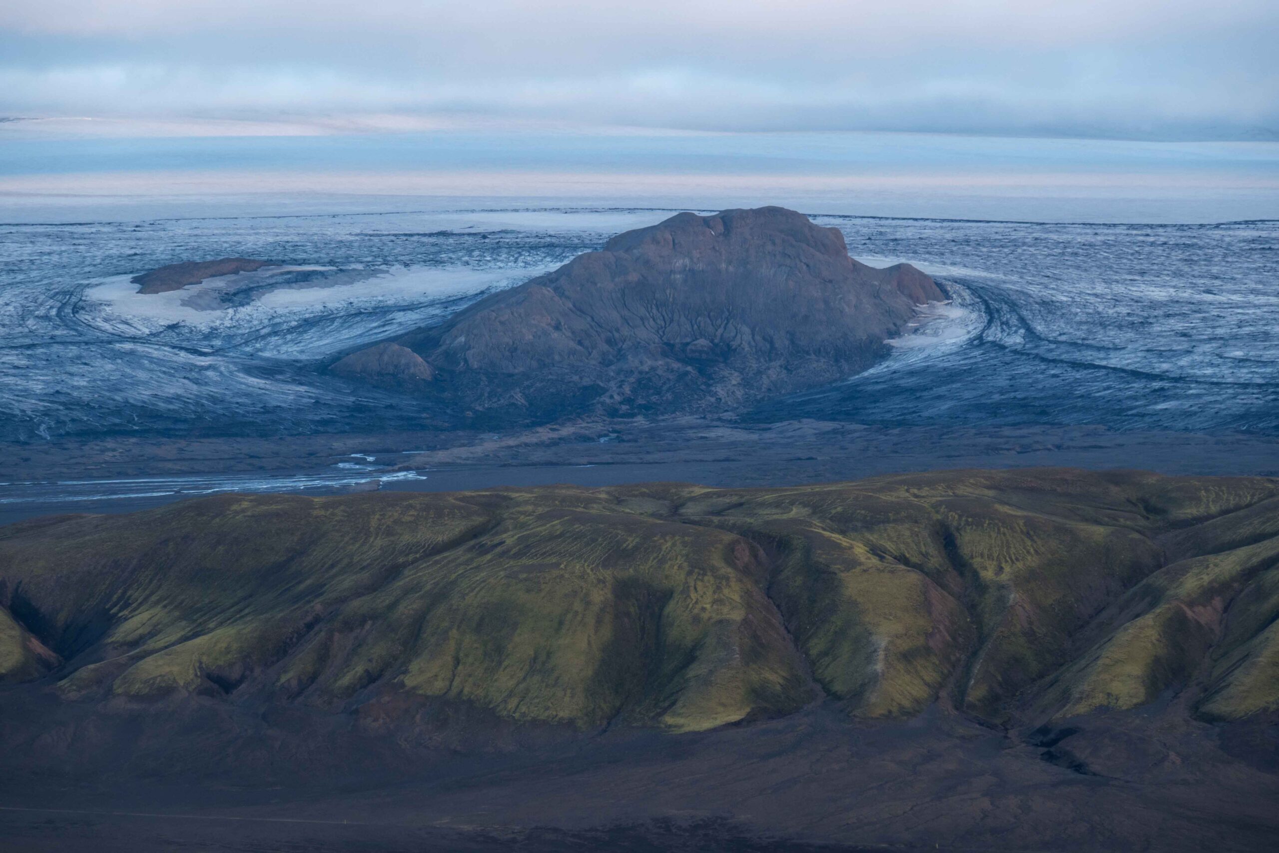
The ice cap has an area of over 500 km3. In the west and south the terrain is very steep, so glaciers there are narrow and crevassed. In the north and east the landscape is much more gentle, so glaciers are shaped like lobes terminating on a plain. At all sides the glaciers are receding, often by several kilometers in the last decades. Mýrdalsjökull ice cap lost a third of its area over the past 150 years, but mass loss decreased considerably over the last twenty years (Bernat et al., 2024). As a consequence, some of the steep outlet glaciers in the west and south have stopped receding.
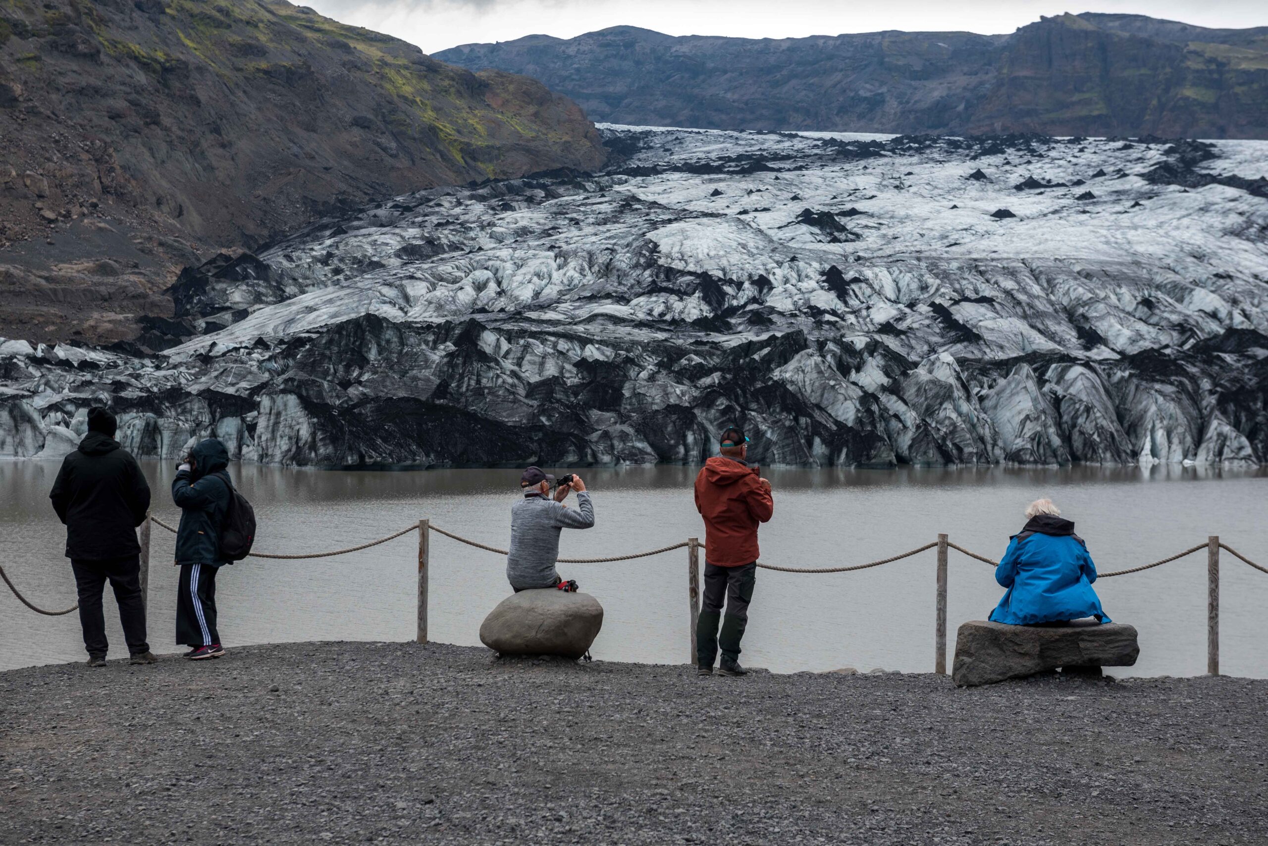
Most glaciers of Mýrdalsjökull are located in remote areas, thus hard to visit. Sólheimajökull in the south is an exception, with a paved road leading almost to the glacier’s snout. This makes Sólheimajökull the most easily accessible glaciers from the capital city of Reykjavik and thé spot for many tourists to walk on a glacier for the first time. You won’t find facilities like this at the other glaciers of Mýrdalsjökull, where it requires wading through rivers and crossing large outwash plains to reach them.
Search within glacierchange: