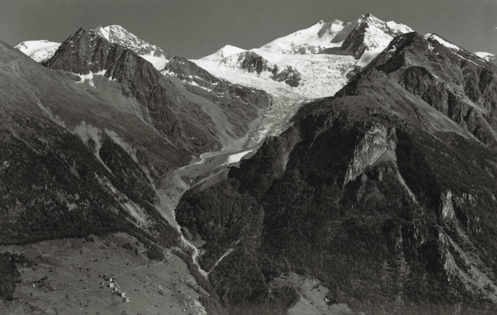
Riedgletscher is a north-facing glacier that flows from the Nadelgrat in the direction of Gasenried. In 1860, only a kilometer separated this village from the glacier. By now the distance has grown to 3 km, but higher up the glacier is still very impressive.
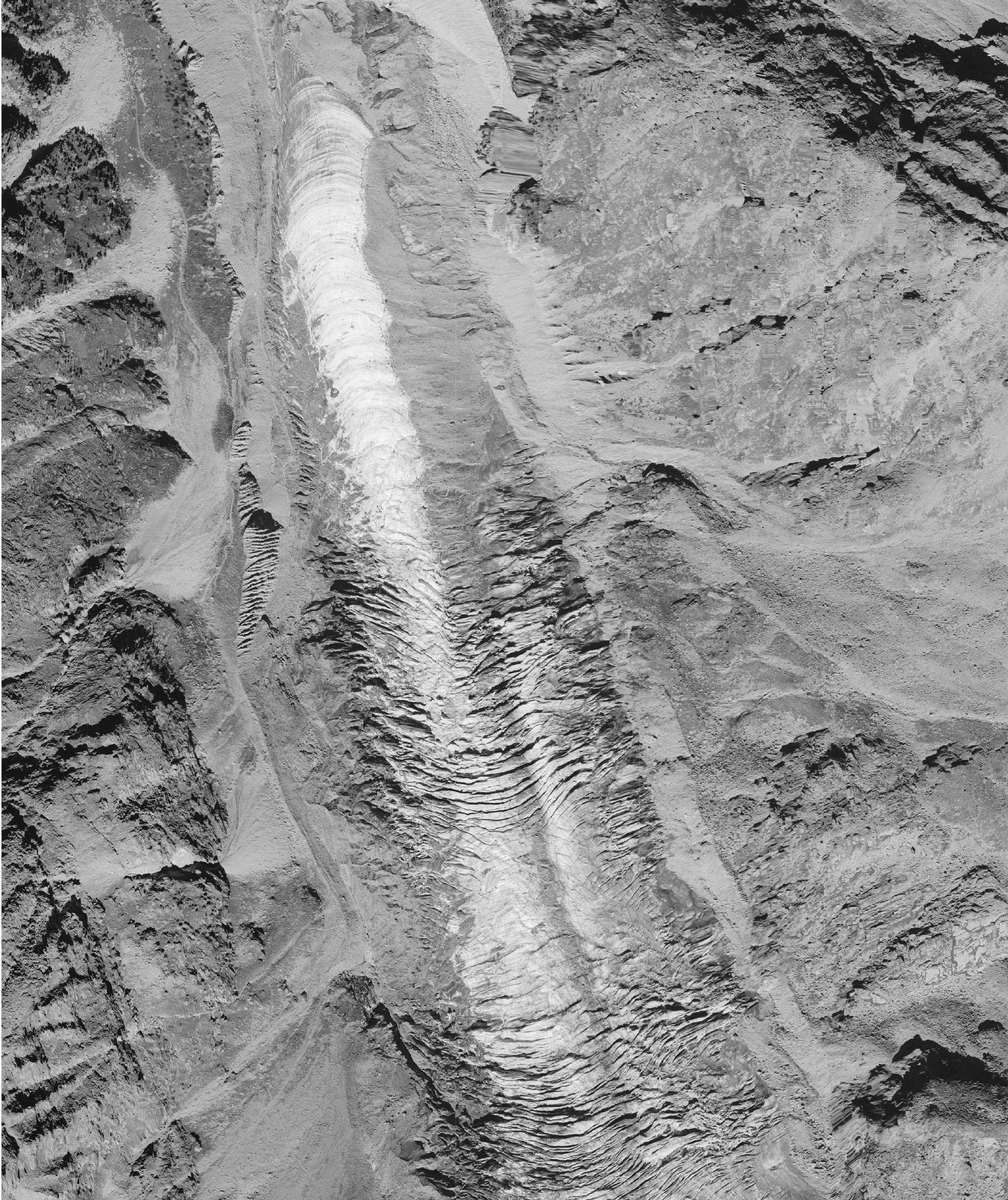
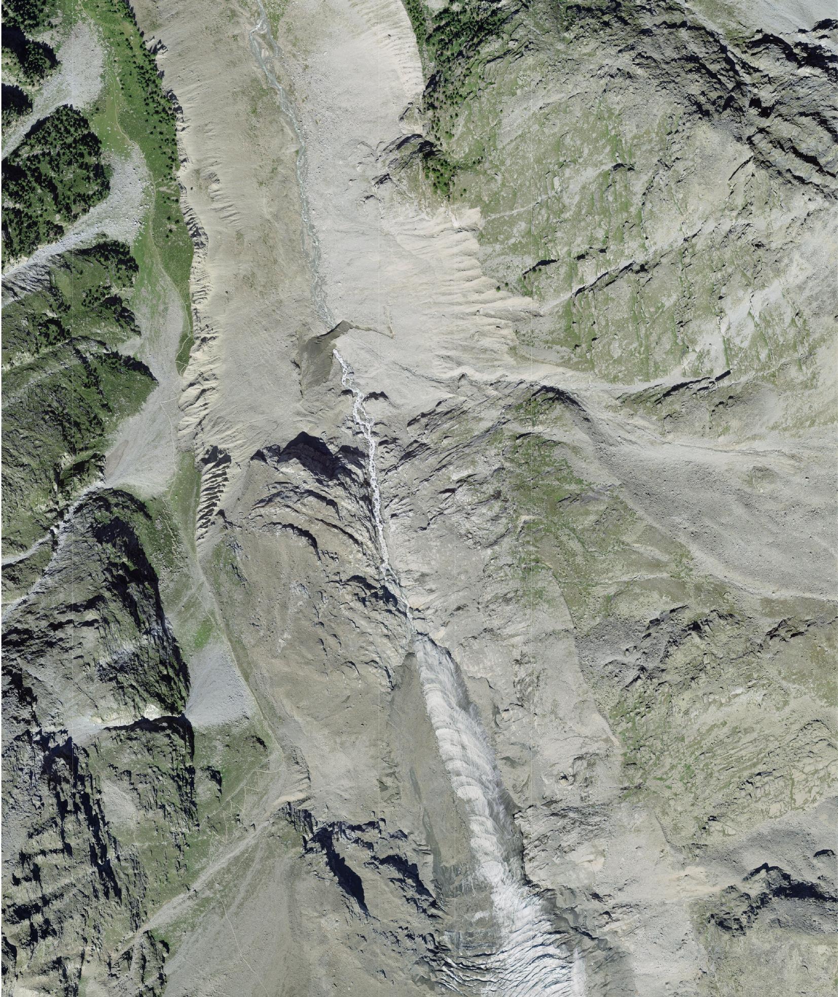
Riedglscher in 1987 (left) and 2020. Source: swisstopo zeitreise.
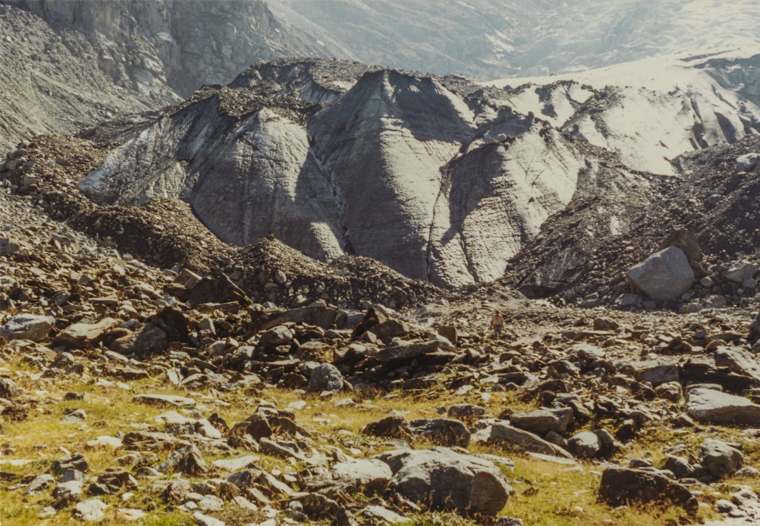
The trail that goes up the mountain follows Riedgletscher’s western moraine for a long time. It was formed in the nineteenth century, when the glacier was in its heydays. But the ice no longer supports the moraines, so their inner side is eroding. The vegetated outer side, on the other hand, is much less prone to erosion. What is left of the glacier snout has ogives: alternating bands of light and dark ice that are formed below icefalls, of which Riedgletscher has two: one between 3300 and 2800 meter, the other between 2700 and 2500 meter.
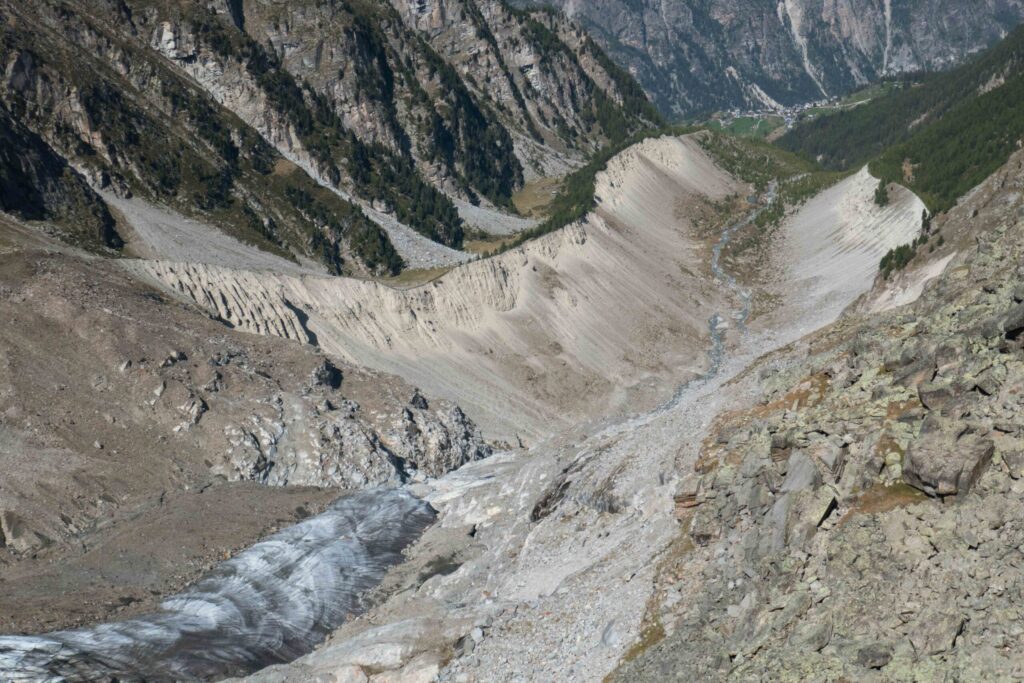
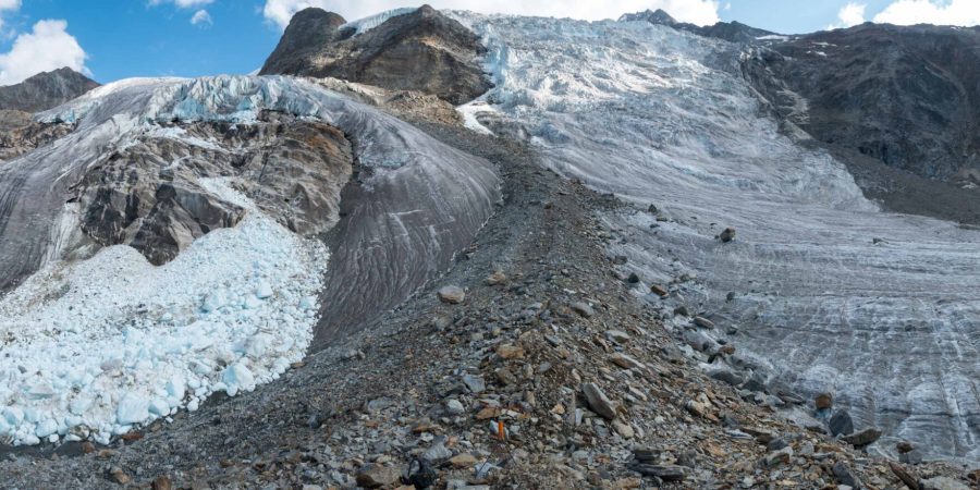
Between both icefalls the glacier is very flat and easy to cross. During summer there even is a marked trail that crosses the glacier to the mountain hut Bordierhütte. However, there is an obstacle in the middle of the glacier: a medial moraine. Because two different branches of Riedgletscher merge here, there is a ridge of debris on their joint. But the much smaller eastern branch is melting and disintegrating fast and about to lose contact. If that happens, the medial moraine becomes a lateral moraine.
High up the slopes on the other side of Riedgletscher stands the Bordierhütte. From there you can walk up the Gross Bigerhorn (3626). Nowhere in Switzerland you can go higher without climbing, although it is a very steep walk. Gross Bigerhorn offers excellent views over the Nadelgrat, a beautiful ridge with peaks well over four thousand meter. Below the northern slopes of the Nadelgrat is an ice plateau between 3400 and 3600 m above sea level. Before, this large ice plateau accumulated lots of snow, thus feeding the glacier. All this snow led Riedgletscher to advance strongly in the seventeenth and eighteenth century, to the point that it threatened the village of Gasenried. Its inhabitants erected a small chapel in 1672 to protect them from the glacier. Eventually this paid off; the glacier receded from 1860 onwards (and only re-advanced slightly in the 1980’s).
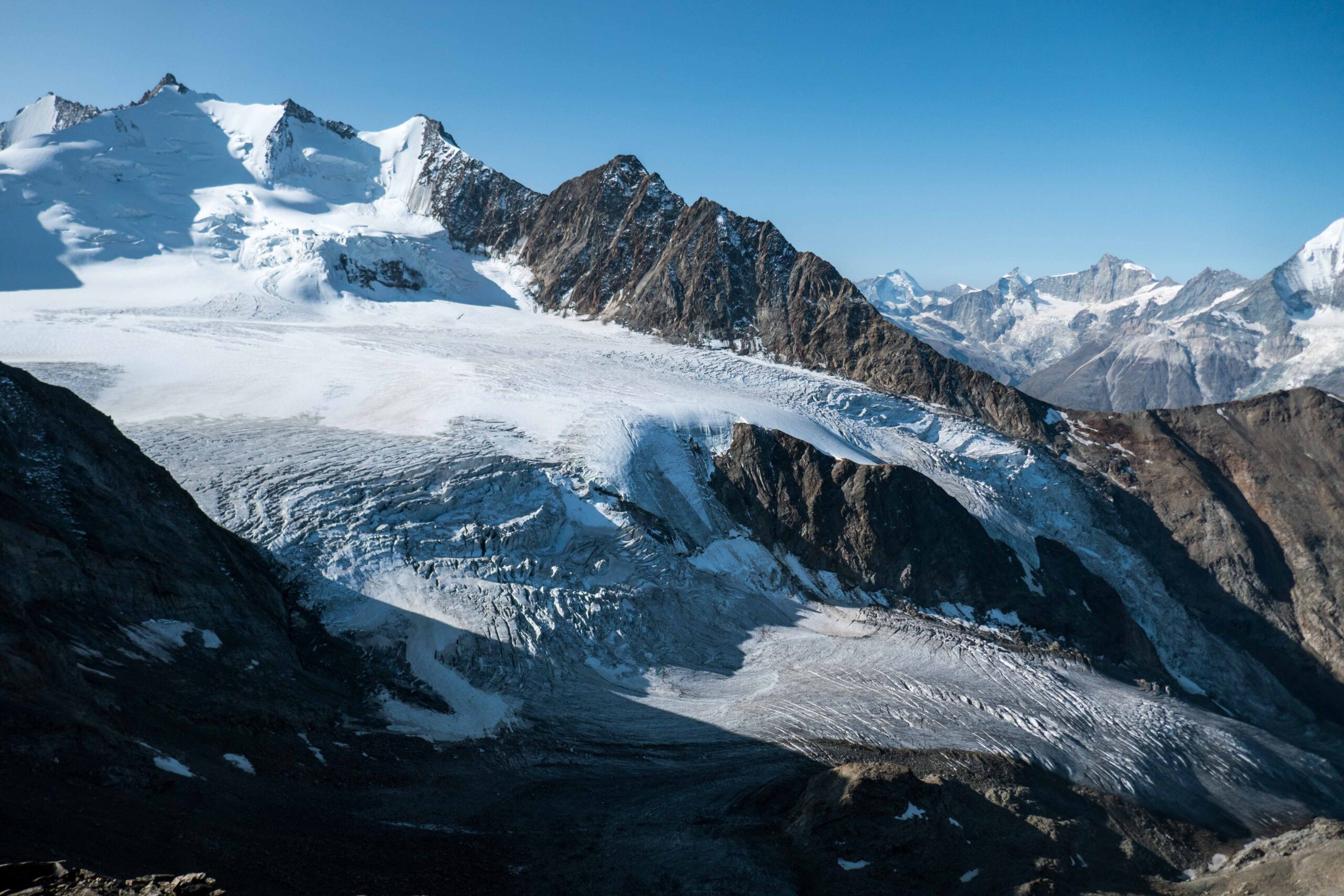
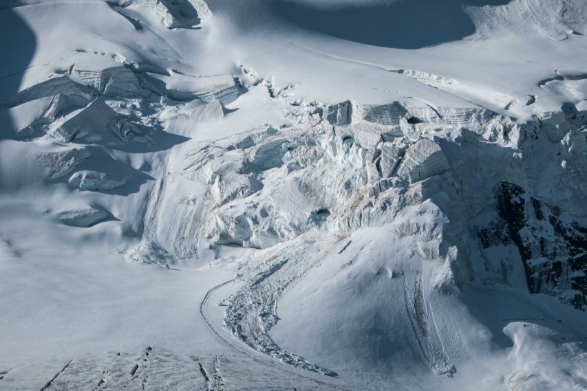
Under present climate conditions the ice plateau is more often than not completely deprived of snow at the end of summer. Only the shaded slopes of the Nadelgrat still have snow cover. The yearly formed layers of snow are clearly visible in blocks of firn underneath the ridge. Such places can support small patches of ice, even if temperatures will rise further. But that won’t save the wasting Riedgletscher.
Search within glacierchange: