Schlatenkees is the biggest glacier in the Venediger massif, but about to lose contact with its lower part.
The upper part of Schlatenkees sits between Grossvenediger (3657) and Kleinvenediger mountains. This flat accumulation area is the normal (easiest) route for climbing both mountains. But a little bit down, at 2800 m, the glacier starts to descend steeply. After an icefall of 400 m, Schlatenkees flattens again at 2400 m.
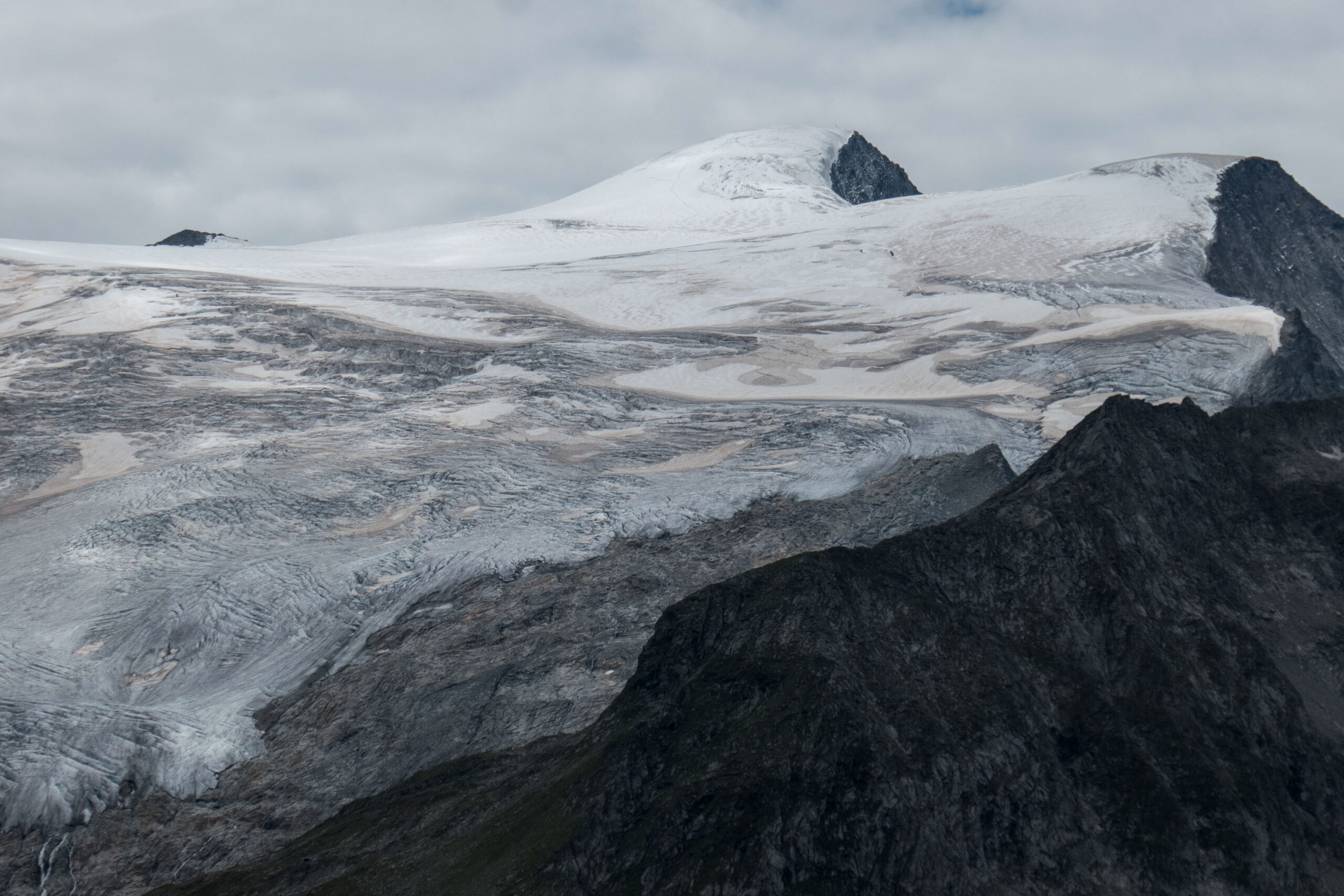
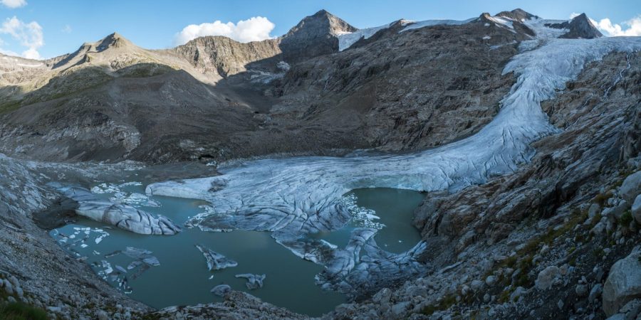
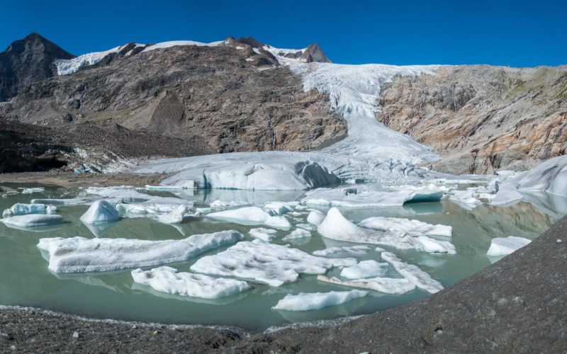
Climate change is making the icefall that connects Schlatenkees’ upper and lower parts thinner every year, especially over the last 15 years. Aerial photos that are taken every few years show how the glacier is melting. Since 2018, the snout of Schlatenkees is disintegrating rapidly, because a lake is replacing the disappearing ice. Water can collect over there due to the erosional force of the glacier, that has carved out a depression at the bottom of the icefall.
Orthophotos of Schlatenkees from 1974, 2004, 2012, 2018 and 2022. Source: Land Tirol – data.tirol.gv.at.
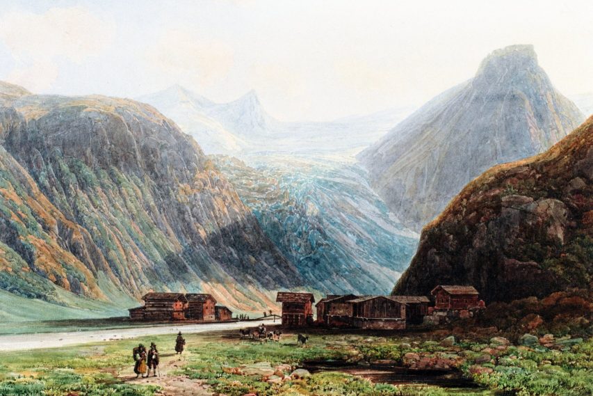
Commonly, a hike to Schlatenkees starts at the parking area next to Matreier Tauernhaus and then follows the valley upstream. The last hamlet you pass is called Innergschlöss. The artist Thomas Ender chose this collection of farms as his foreground in a watercolor painting of Schlatenkees. He did so in 1840, at a time when the glacier was 2 km longer and extended 500 m further down. The snout was at 1700 meter a.s.l., lower than any glacier is the eastern Alps.
Thomas Ender was hired by archduke John of Austria, an enlightened ruler with a passion for nature and mountaineering. He always had a painter in his entourage, who assisted him on his journeys (abroad) and expeditions to capture the landscapes. Thomas Ender had this position for twenty years, starting in 1829. He himself also developed a passion for mountains and glaciers. His realistic paintings of these realms were a hit with John of Austria and are invaluable testimonies of Austria’s glaciers in their heydays (Austria-Forum, 2015).
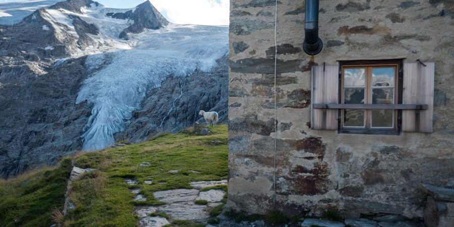
The main trail up to Schlatenkees leaves the valley at the end, actually where the glacier once was. The path goes up steeply from 1700 m to 2300 m and passes Salzbodensee, where literally everyone takes a photo. If you have a bit more time (and energy), consider the Venediger Hohenweg, a path high above the valley. You pass Viltragenkees and end up at Alte Pragerhütte, an museal hut. From there you have a wide view over the glacier. A short descend brings you to the glacier snout and its lake, that will be ice-free in a matter of years.
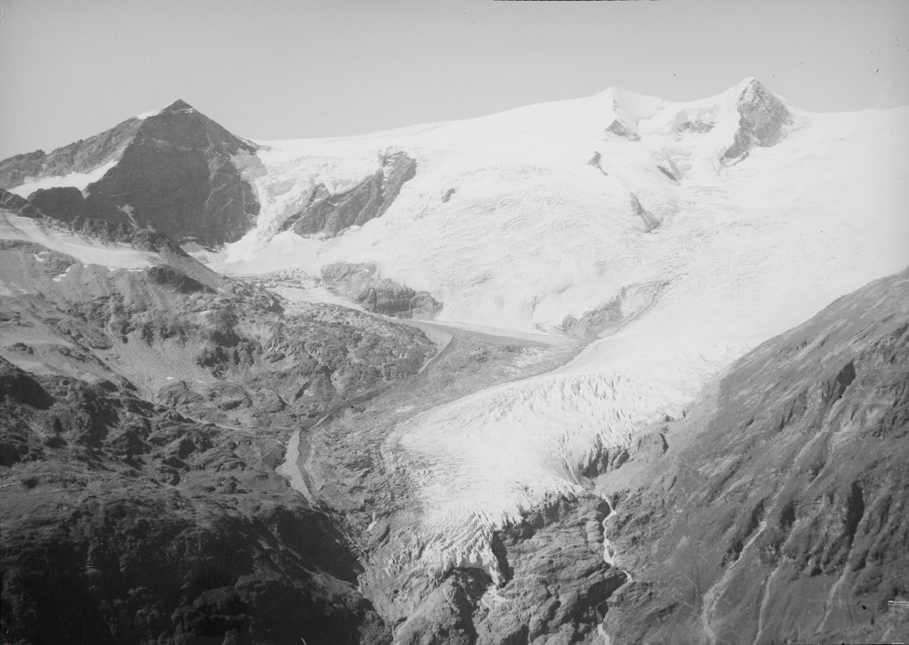
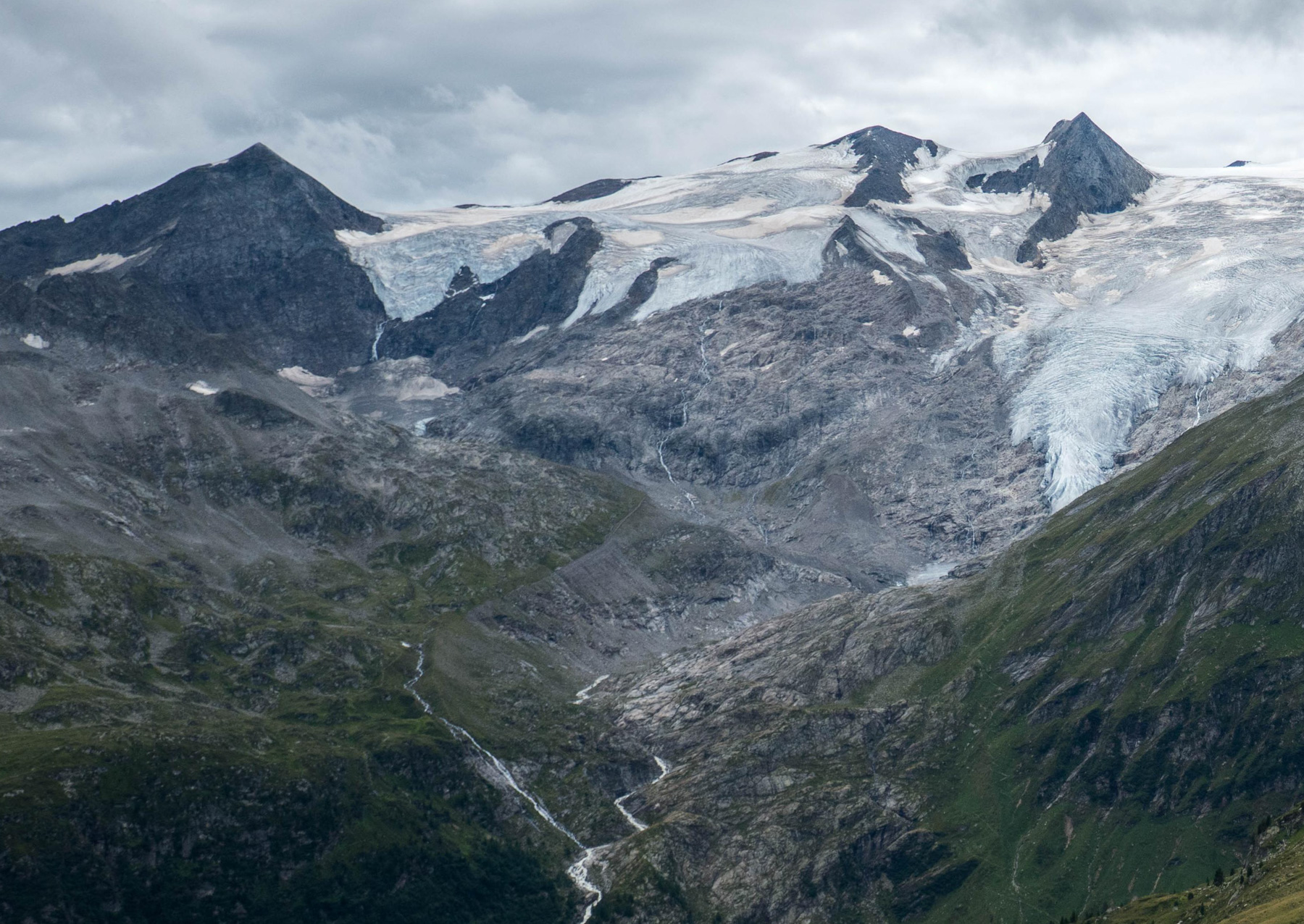
Schlatenkees in ca. 1920-1940 (left) and 2022. Source 1920: Österreichische Nationalbibliothek, photo L 51918-B POR MAG.
Search within glacierchange: