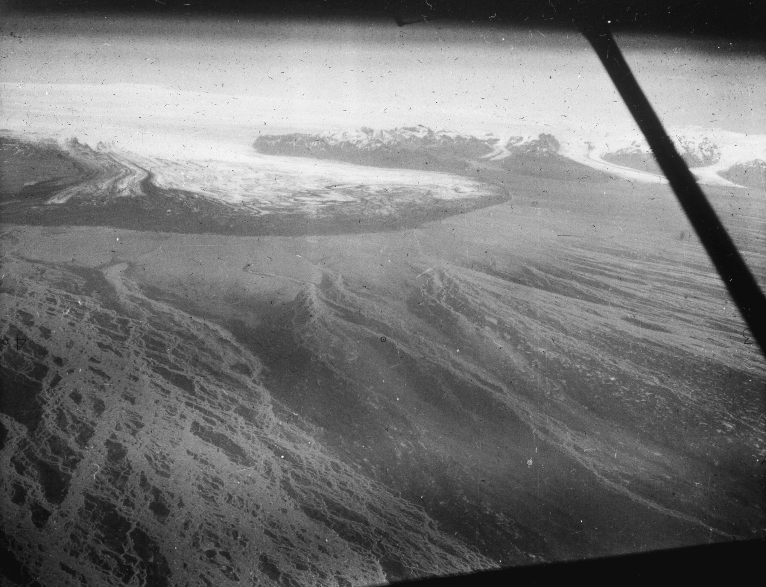
With a length of 45 km, Skeiðarárjökull is one of Iceland’s biggest glaciers. The glaciers flows from the middle of Vatnajökull southwards. Its snout spreads out in a 18 km wide arc, from underneath which gigantic floods can emerge.
Skeiðarárjökull sits on top of Iceland’s most active volcano: Grímsvötn. It is part of a very powerful geothermal system that constantly melts the ice cap from underneath. Above Grímsvötn, the glacier is some 240-300 m thick. The meltwater can’t escape and is trapped under the ice. It forms a subglacial lake, called Grímsvötn as well, with a diameter of no less than 15 km.
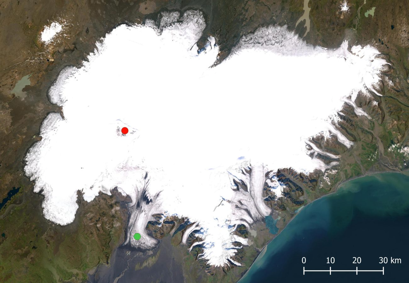
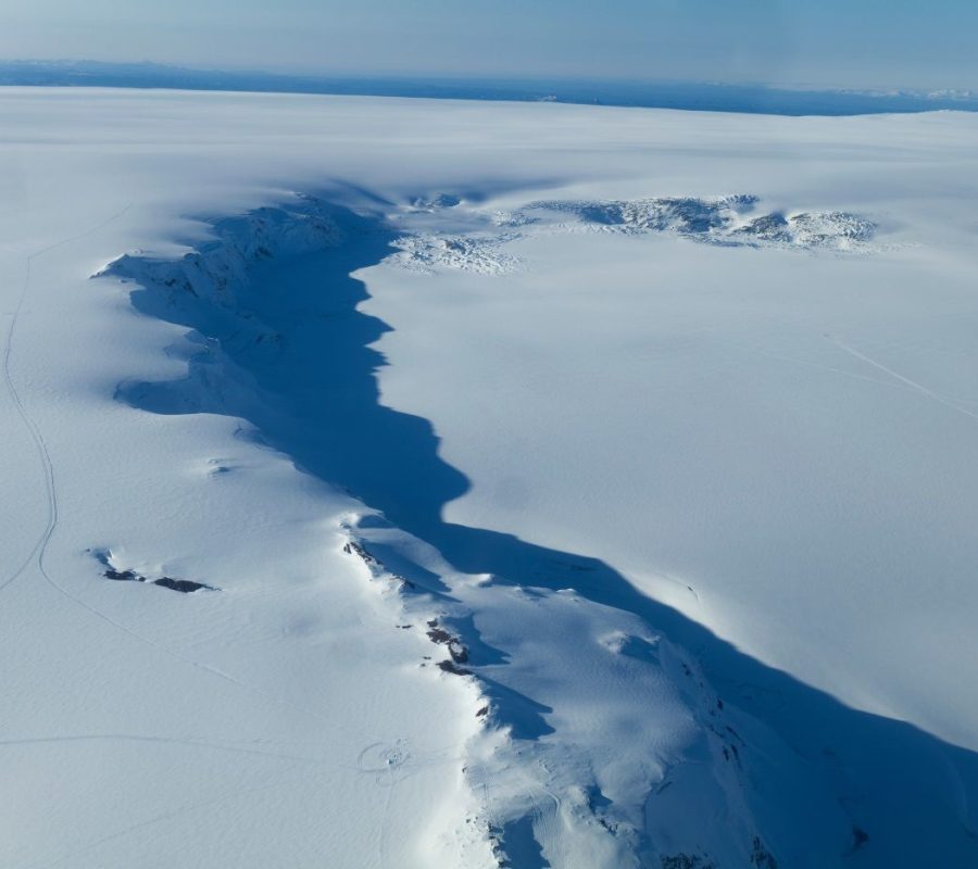
During the 20th century, Grímsvötn erupted at regular intervals. Water level rose some 100-150 m in about five years. By then, water pressure had become sufficient to open up subglacial tunnels through which the water could escape. Because the water temperature is above freezing point and causes frictional heat, these tunnels melt out even further. In this way, the flow rate accelerates during drainage events and reaches maximum flow in one or two weeks, after which it quickly decreases and eventually stops.
Flood waves usually had a maximum discharge of 10.000 cubic meters per second (m3/s), but could be much bigger when they were caused by an eruption of Grímsvötn volcano. Like in 1934 and 1938, when Skeiðarárjökull’s rivers had a peak discharge of 30- to 40.000 m3/s. To put things into perspective: the river Rhine usually carries 2200 m3/s to sea and in extreme cases peaks at 12.000 m3/s. No wonder Grímsvötn is feared.
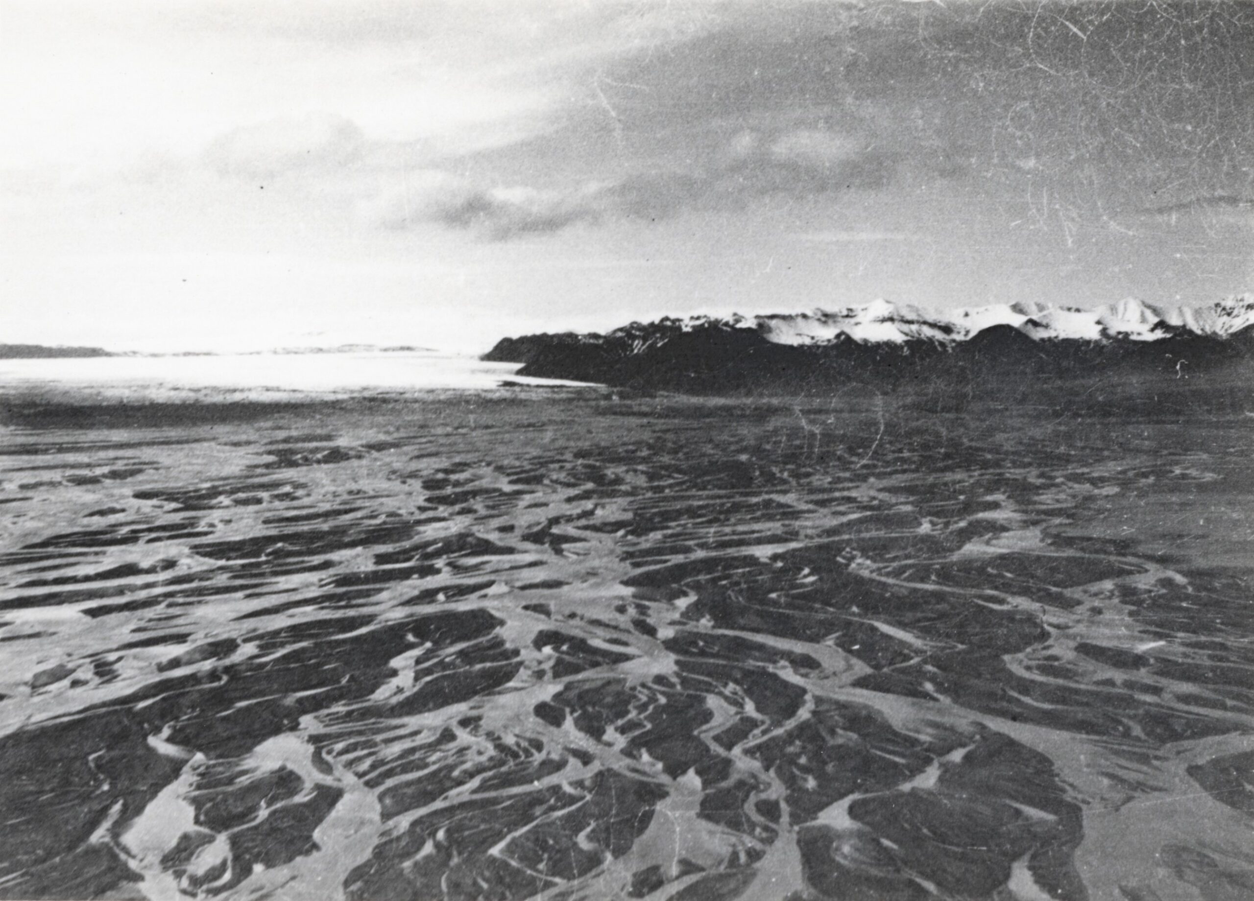
The most recent (big) flood dates from 1996. On September 30th, a volcano erupted underneath the ice cap, a little north of Grímsvötn. The eruption lasted for two weeks and its 1000 °C hot magma melted 4 km3 of ice. All meltwater amassed in Grímsvötn. The subglacial lake reached its highest level ever recorded. Although people therefore were well aware of the imminent danger, the scale of the flood at the beginning of November surprised everybody. Instead of a progressively growing discharge, the flood namely kicked in at full strength right away. Within just sixteen hours the discharge peaked at 40- to 50.000 m3/s. The water level in the lake had been so high, that it caused the ice dam holding the water back to be lifted from its bed. Suddenly, all water could escape underneath the ice towards the snout. In three days, 4 km3 of water rushed towards the sea.
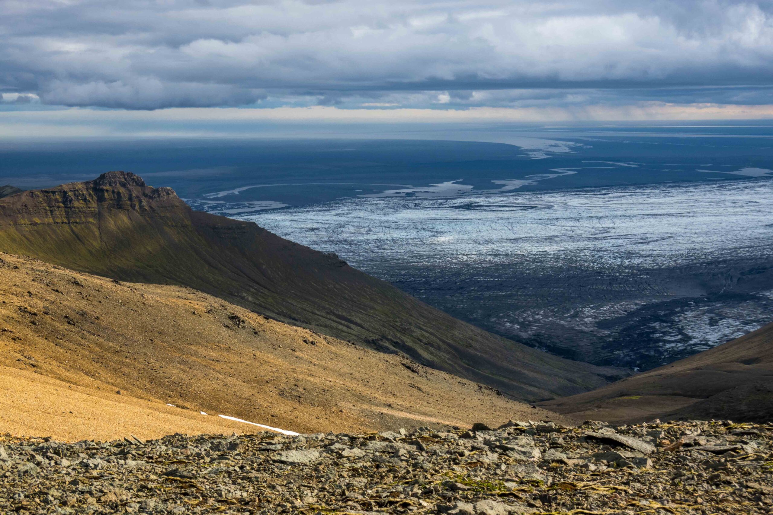
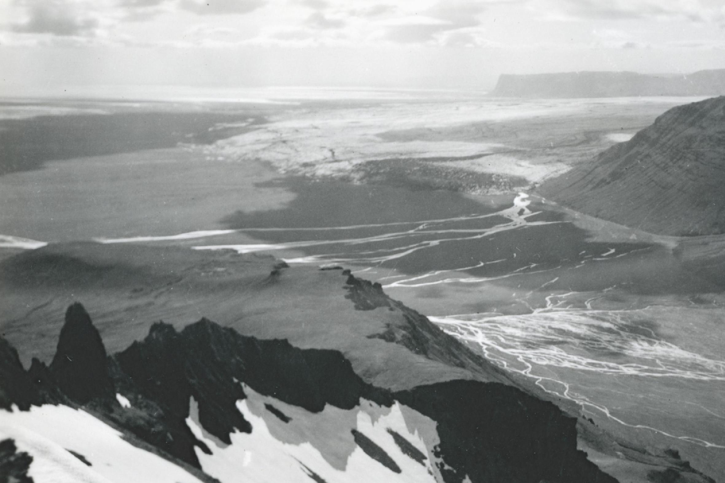
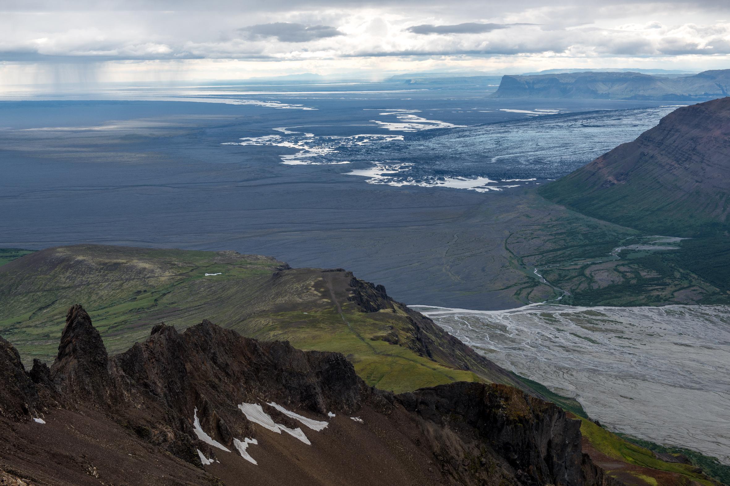
Skeiðarárjökull from Kristínartindar in 1942 (left) and 2023. Source 1942: Ingólfur Ísólfsson, Jöklarannsóknafélag Íslands.
All previous jökulhlaups could flow to sea freely. This happened so often, that the land in between the glacier and the sea was largely deprived of vegetation. The outwash plain, 40 km long and 20 km wide, is therefore called Skeiðarársandur (‘sand plain of Skeiðará’). It’s the largest outwash plain in the world. For long, the floods and changing rivers made it impossible to build a road here. But in 1972-1974 the rivers were bridged after all, completing Iceland’s ring road. To save money, the bridges were not designed to withstand the biggest jökulhlaups, as it would be cheaper to erect new ones afterwards. Besides, it had been almost 40 years since the last massive flood occurred, so maybe such events just didn’t happen anymore?
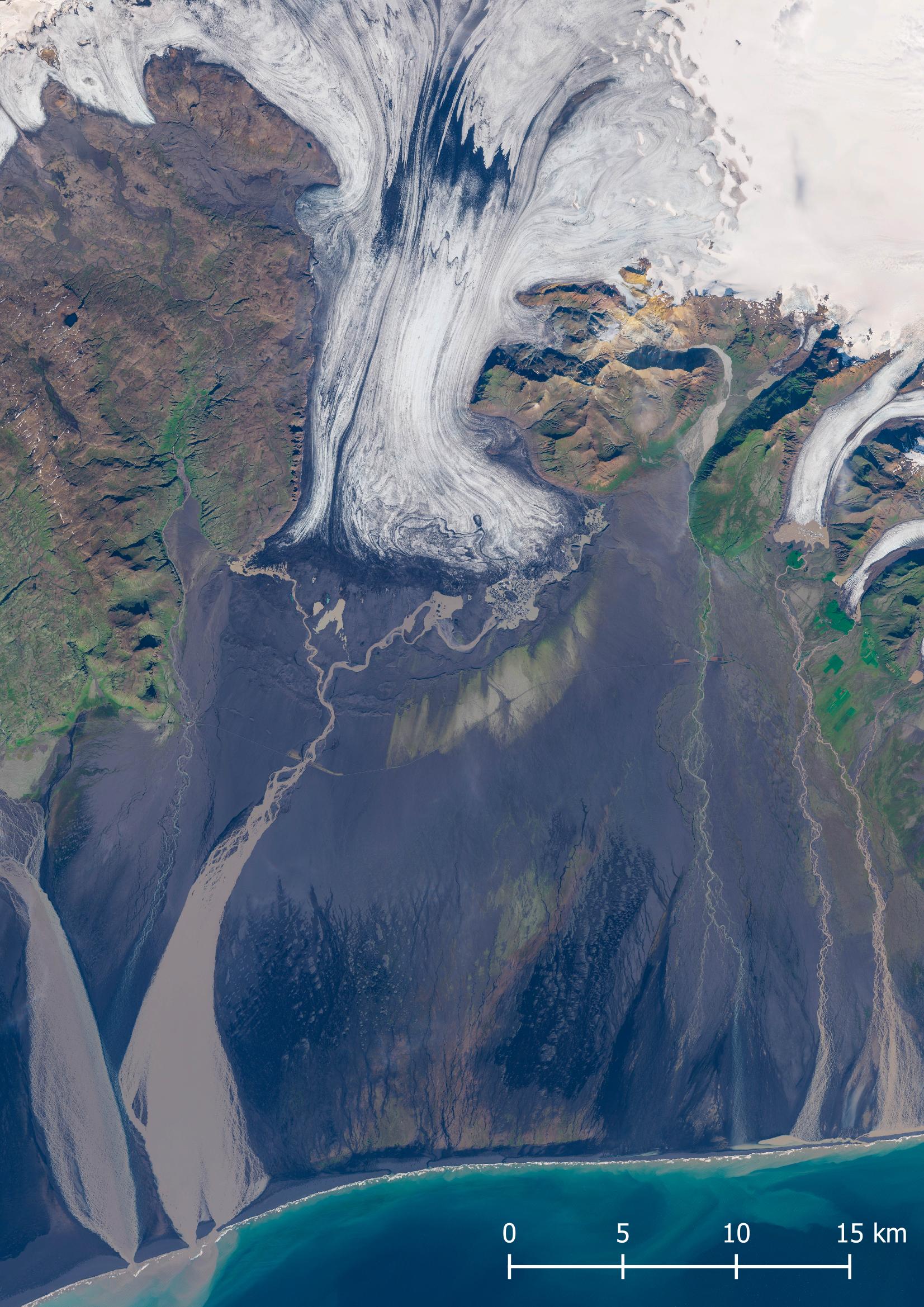
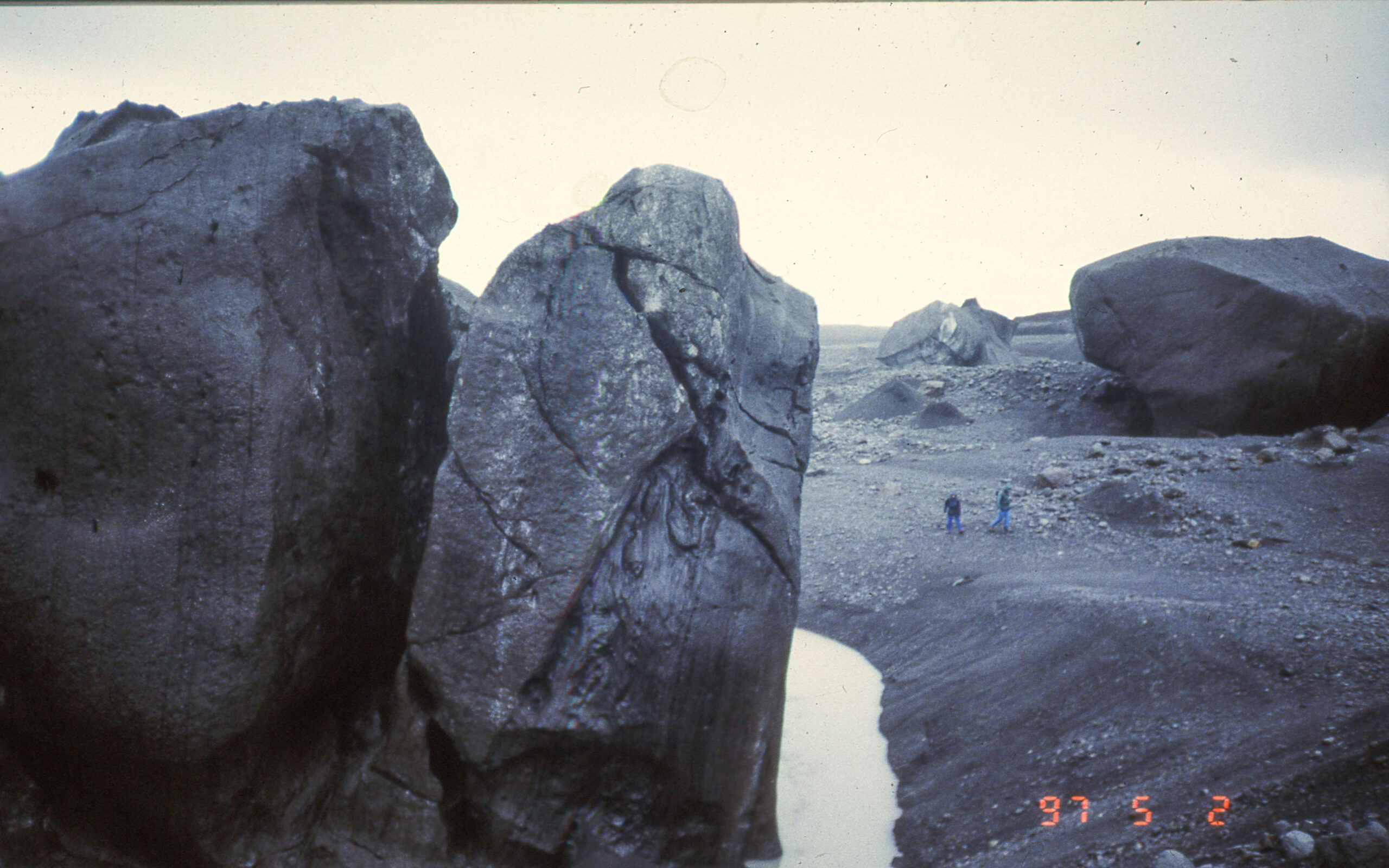
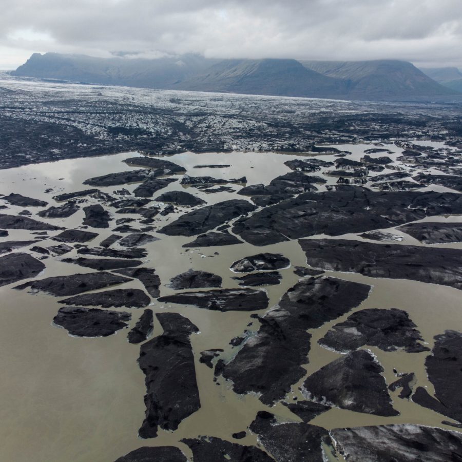
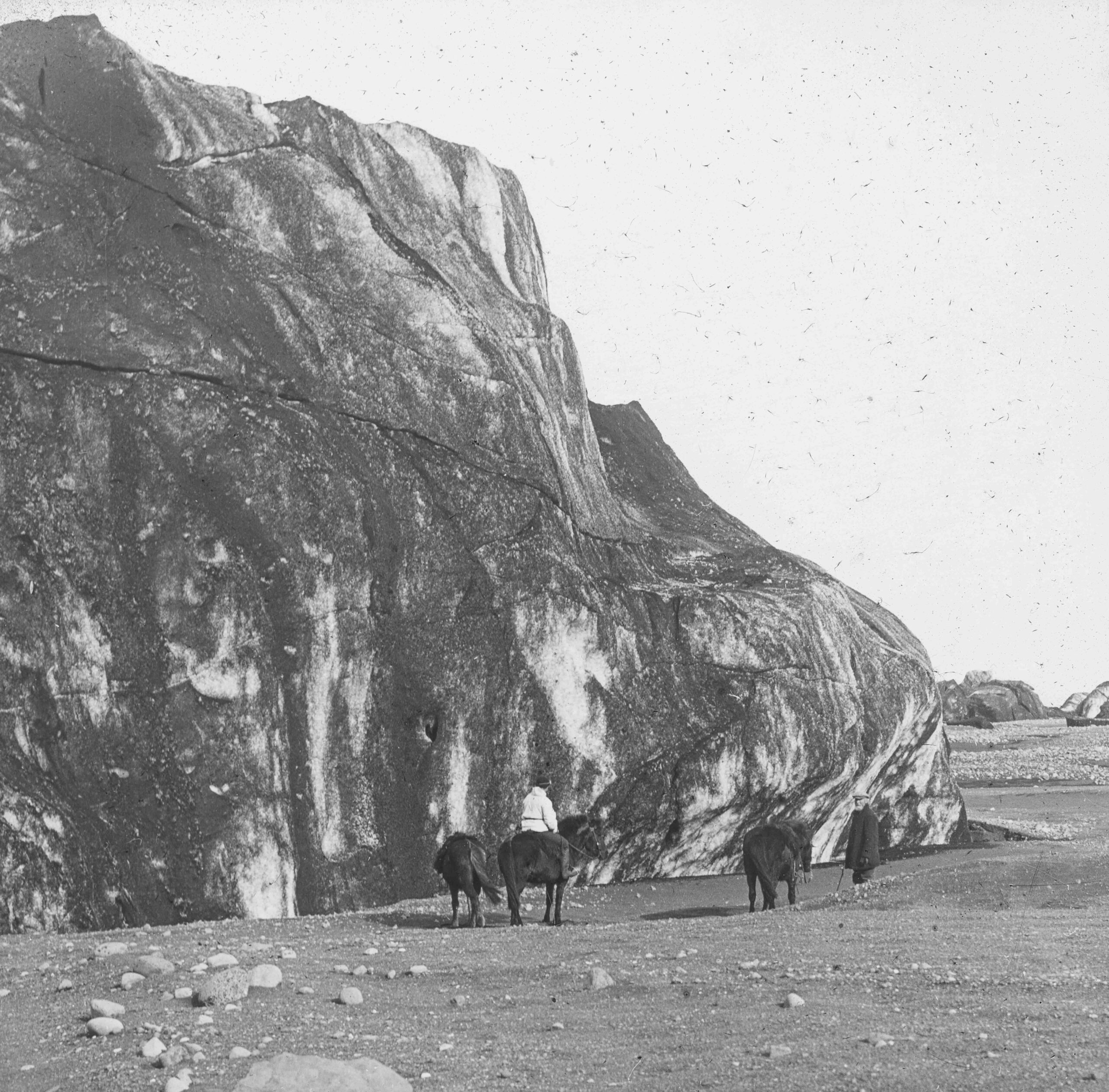
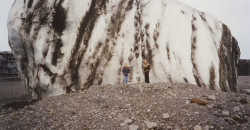
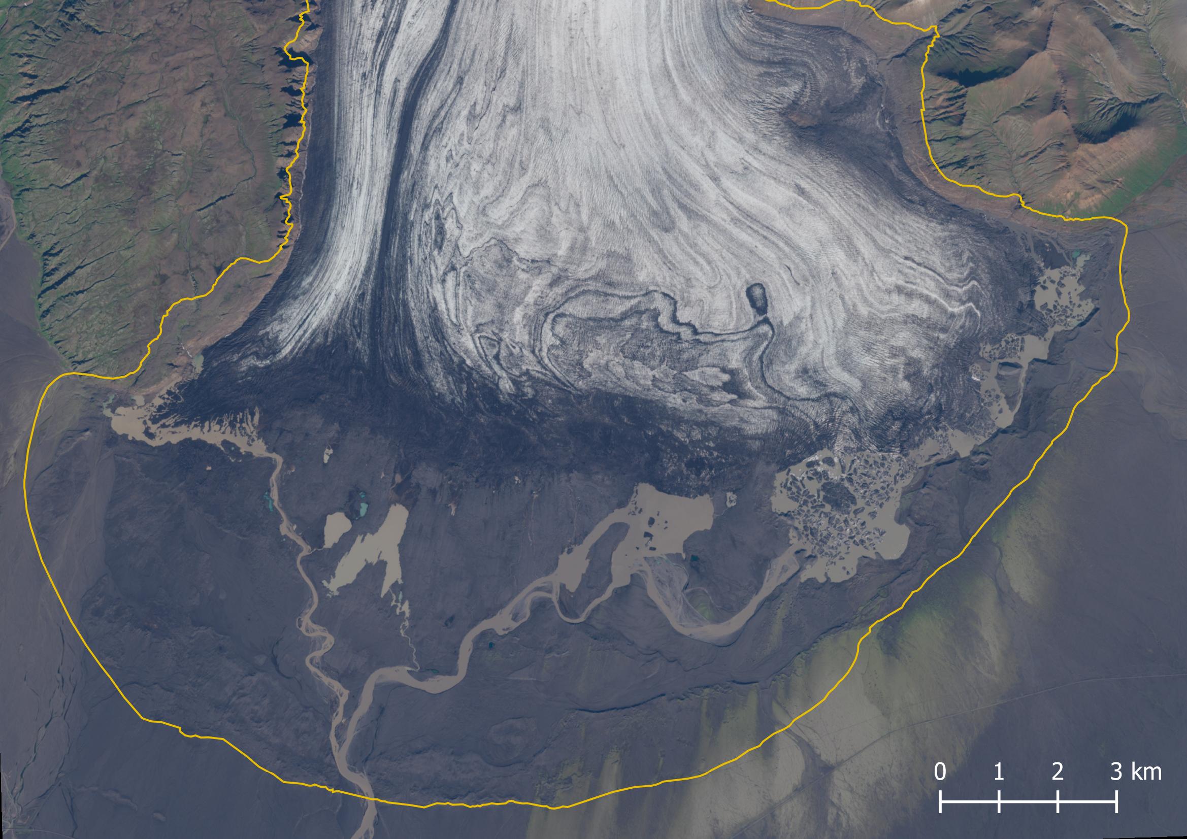
On November 4th 1996, the biggest jökulhlaup people had ever seen was released from Grimsvötn. The bridge over Skeiðará river, constructed 22 years before, was no match for the water. Another bridge, spanning Gígjukvísl river, didn’t hold either. In total, 15 km of the national highway flushed away. The fierce currents, black with ashes, broke off icebergs from the glacier terminus and were dispersed all over the plain. The biggest ones stranded not too far from the glacier, smaller icebergs could be found everywhere.
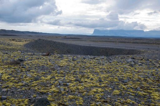
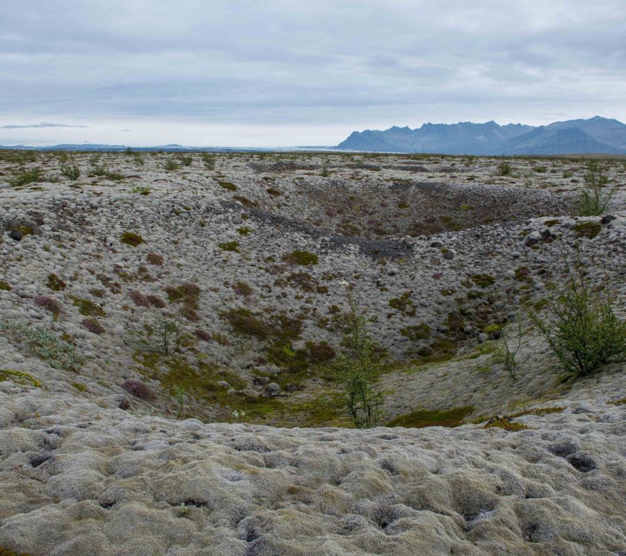
Besides icebergs and ashes, the flood also transported huge quantities of sediments. Stranded icebergs were therefore partly buried in sands and gravels. So when everything turned back to normal after three days, Skeiðarárandur was a cemetery of half-buried icebergs. It took years for the biggest ones to melt, though they never completely disappeared: after melting, they left behind a hole in the ground. These pits are called kettle holes and are up to 60 m in diameter.
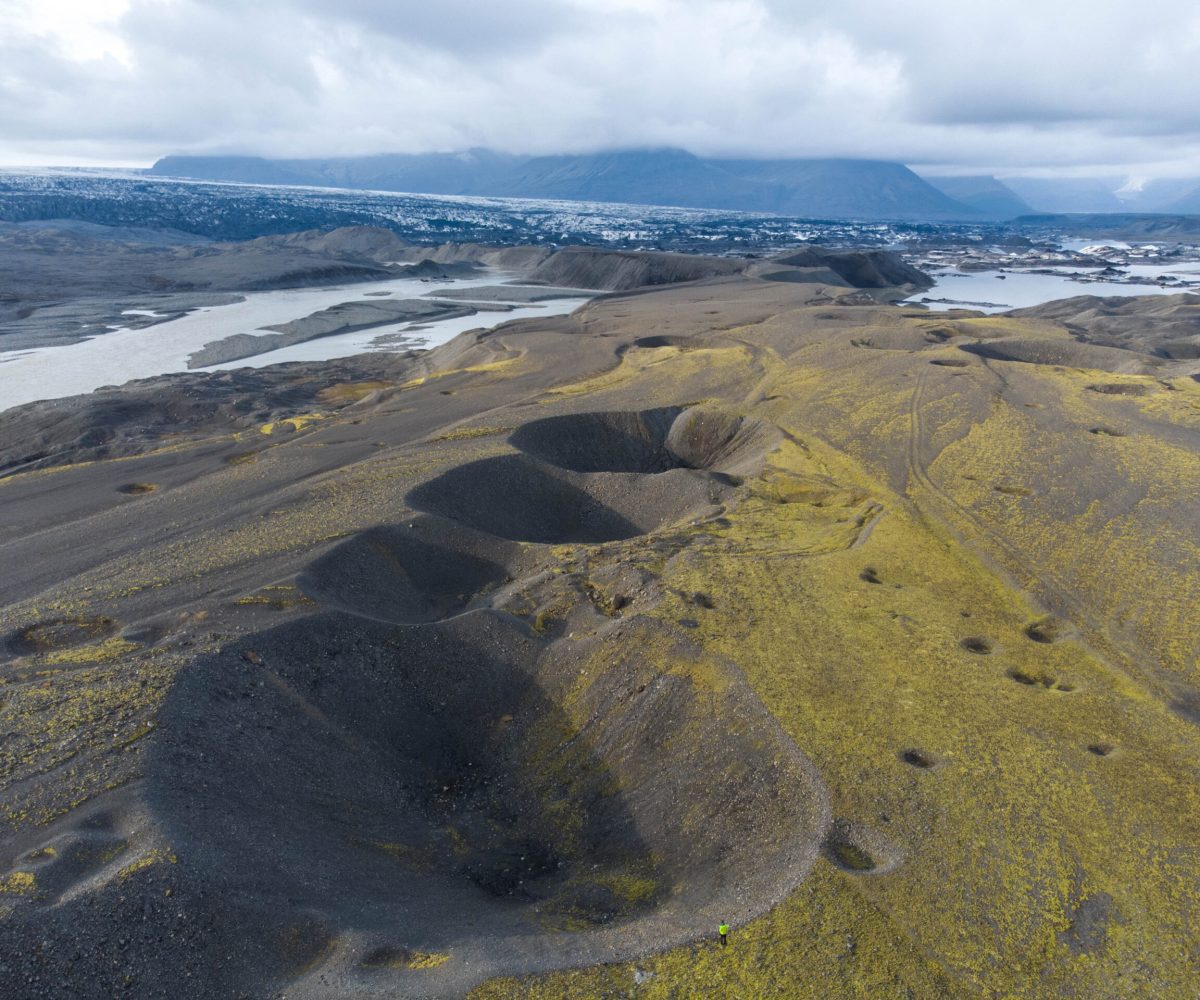
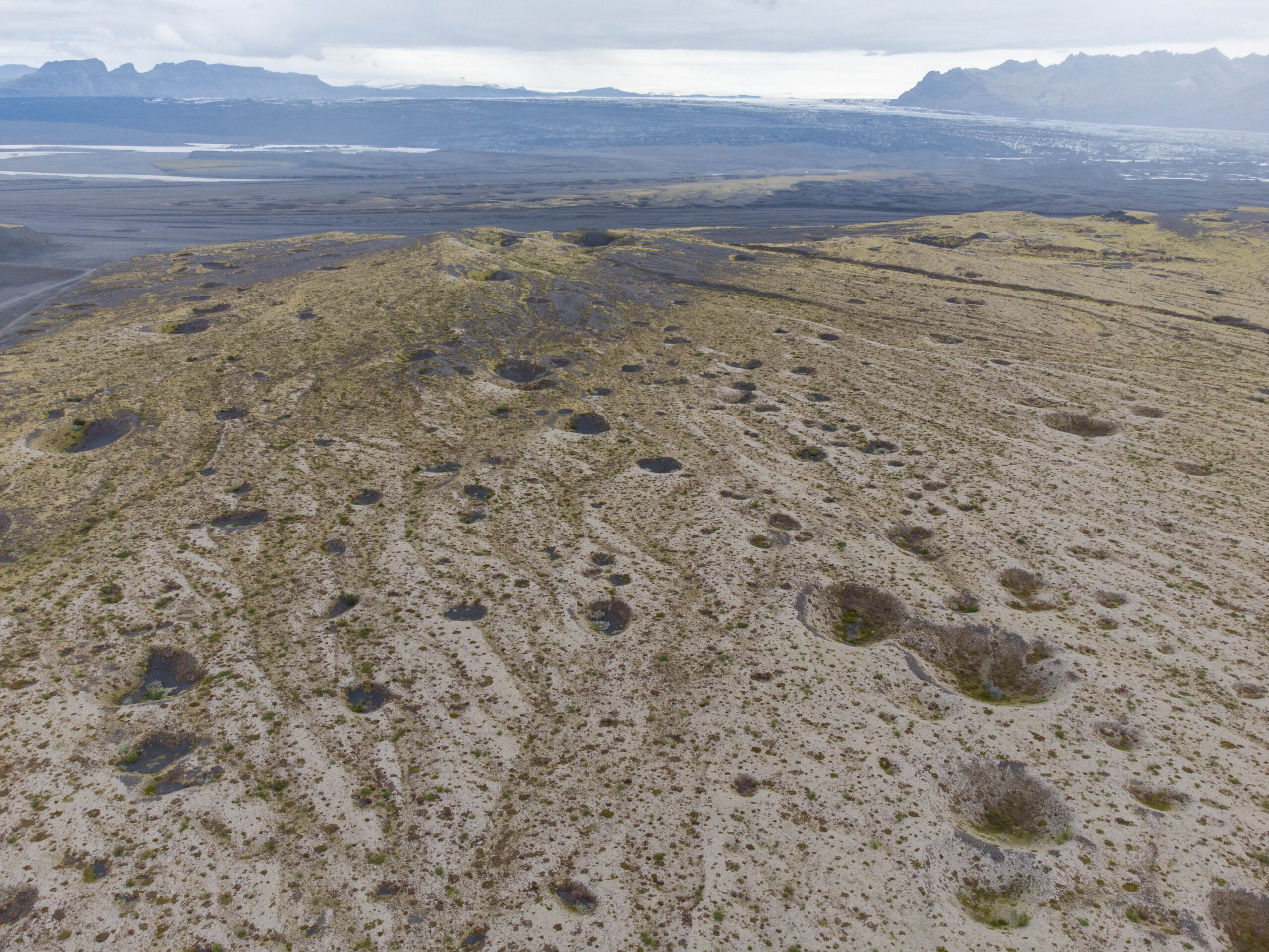
Around these kettle holes, subtle height differences or ‘ice-block obstacle marks’ can be found. The two most prominent ones are horseshoe vortices and shadow ridges. Horseshoe vortices are u-shaped scour hollows around the icebergs due to flow acceleration. They look a bit like wings, even though they get (partly) infilled again during low flow stage. Shadow ridges form behind the icebergs. At their leeward side, sediments can deposit, creating a kind of tales (Burke et al, 2010). Together, these marks show the direction of flow during jökulhlaups.
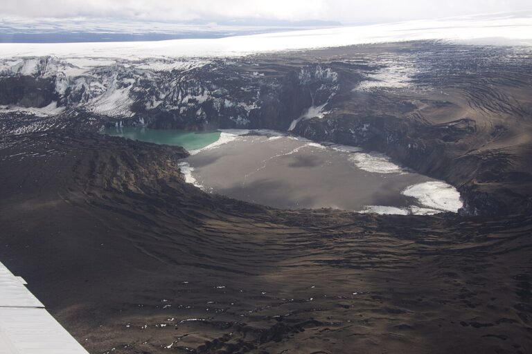
After 1996, Grímsvötn changed its drainage regime. The lake empties more frequently since then, so there isn’t enough time for a proper refill in between the (much smaller) jökulhlaups. Even the large eruption of Grímsvötn volcano in 2011 didn’t produce a flood. It’s plume of ashes rose up to a height of 15-20 km and lasted for days. In its most active phase, the volcano spewed out 10.000 tons of magma every second (Bjornsson, 2017:420). But as the magma mostly melted ice directly on top of Grímsvötn lake, it didn’t led to extra pressure. In recent years there was a jökulhlaup from Grímsvötn in 2021, but with a maximum discharge of only 1600 m³/sec.
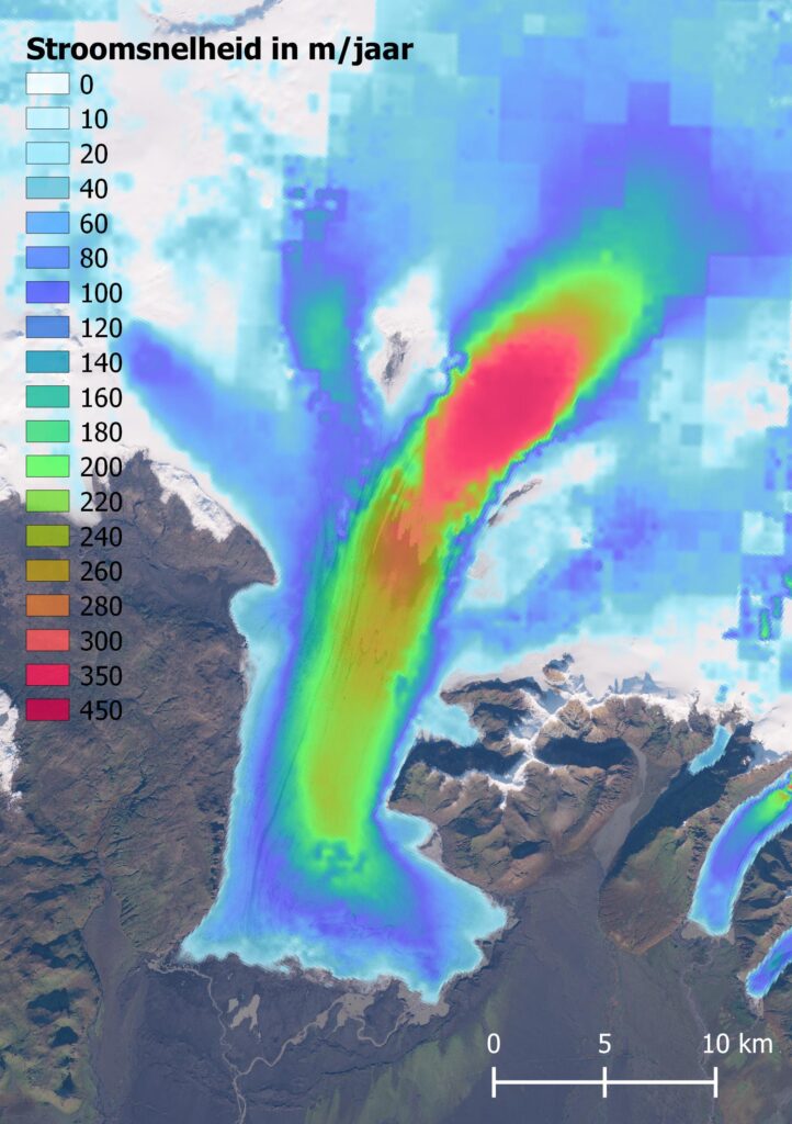
Upon drainage, water from Grímsvötn follows a route undnerneath the eastern part of Skeiðarárjökull. There, the glacier has gouged out a bed 240 m below sea level. A little more upstream, Skeiðarárjökull has an impressive flow velocity of over 400 m per year in between two nunataks (mountains sticking out of the ice). Despite this great influx of ice, the glacier is receding due to increased melting. The western side of Skeiðarárjökull lost 5 km of its length in the past century. In the east, the loss is 1.5 km.
The big difference in length change between the western and eastern parts of Skeiðarárjökull is a result of their flow regime. The eastern side has a constant flow rate, which is clearly demonstrated by the map of flow velocities. The main channel of ice is directed towards the east. The western side, on the other hand, relies on surge events. These are short periods in which the glacier suddenly ‘shoots’ forward. Surges only happen at glaciers with a very small incline, where gravity doesn’t necessarily pulls the ice downhill. Sliding only happens when sufficient mass has collected in the upper part. But with global warming, the mass never reaches this threshold anymore. The last time Skeiðarárjökull surged was in 1984-1985 (advancing by 440 m) and 1991 (500 m).
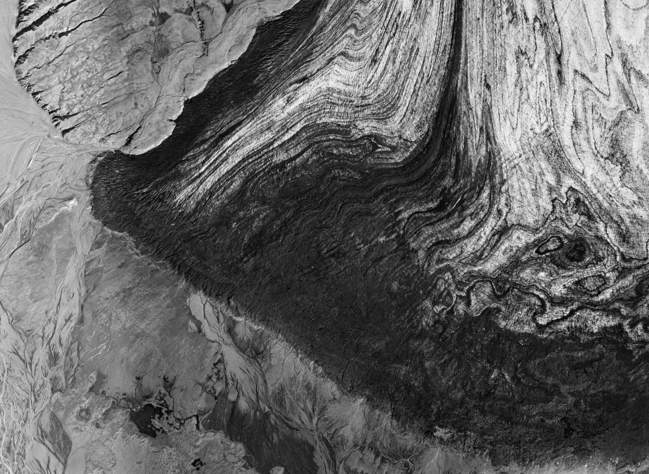
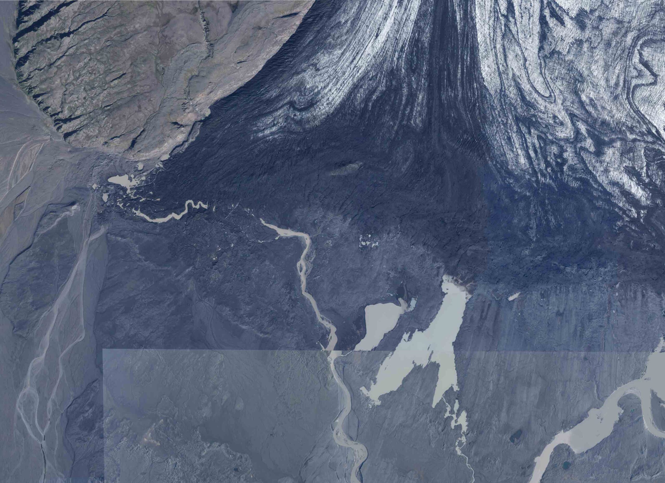
Western side of Skeiðarárjökull in 1997 (left) and 2017. Source: Loftmyndasá Landmælingar Íslands.
Lacking fresh ice, western Skeiðarárjökull has been receding 100 m annually for the past 20 years, tenfold the retreat of its eastern half. This huge difference isn’t only caused by ice flow, though. The ice of eastern Skeiðarárjökull is also much thicker (remember the deep depression it has gouged out), so it simply takes longer to recede. Measuring changes in thickness therefore is a better way to compare both parts of Skeiðarárjökull. And unsurprisingly, the entire snout is thinning fast.
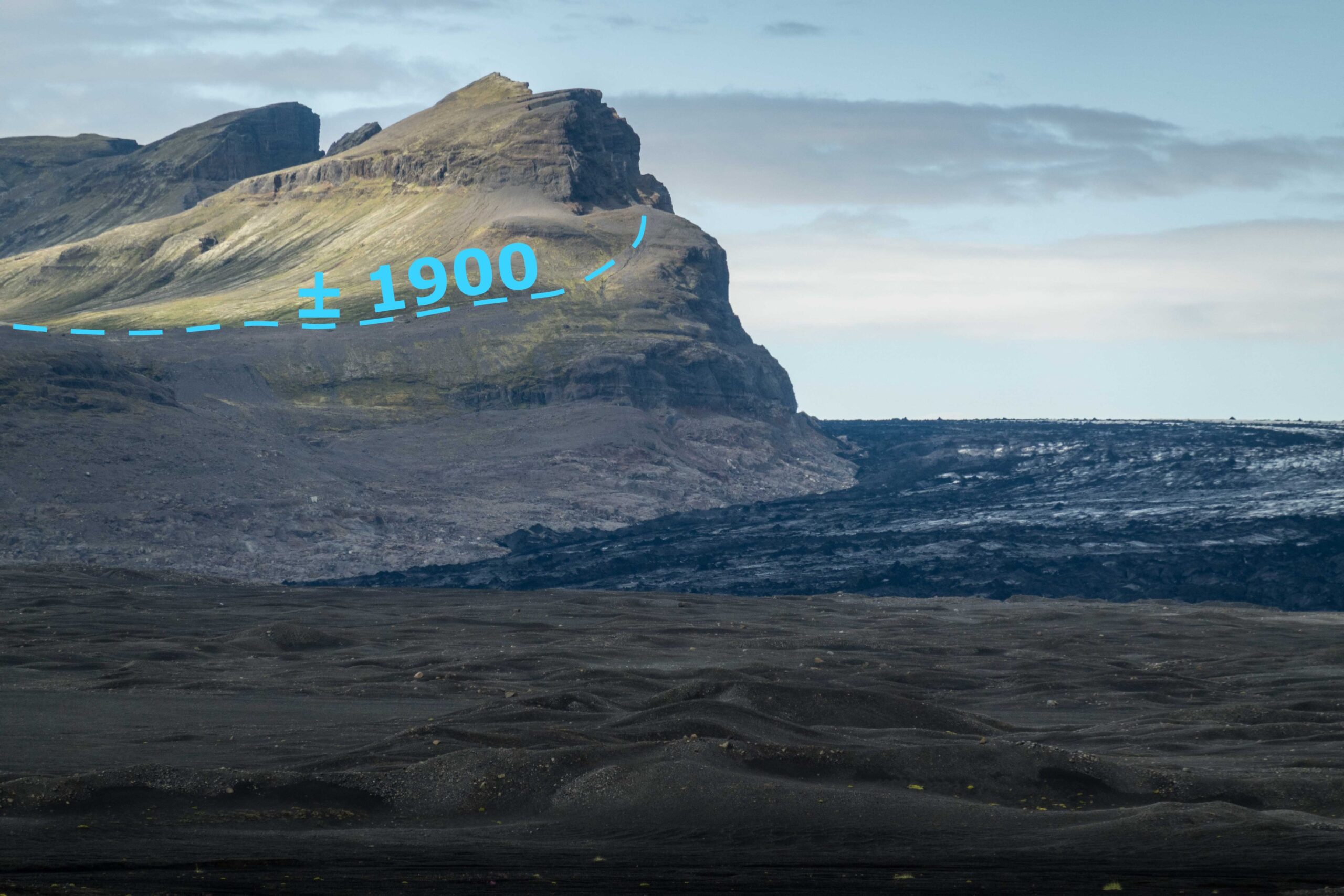
Now Skeiðarárjökull is melting, a unique, jökulhlaup-driven landscape is disappearing. The retreating glacier creates more room for water to be stored between the glacier and its foreland, thus lowering the peak discharge of future jökulhlaups. At the same time, rivers get incised ever deeper, so they can discharge more water. In the distant future, Grímsvötn lake will no longer be surrounded by ice. Altogether, Skeiðarárandur will transform from a barren outwash plain into a vegetated area. In fact, trees are already starting to grow there. Eventually, it could resemble the landscape full of forests and marshes the first settlers encountered over a thousand years ago (Thórhallsdóttir & Svavarsdóttir, 2022).
Search within glacierchange: