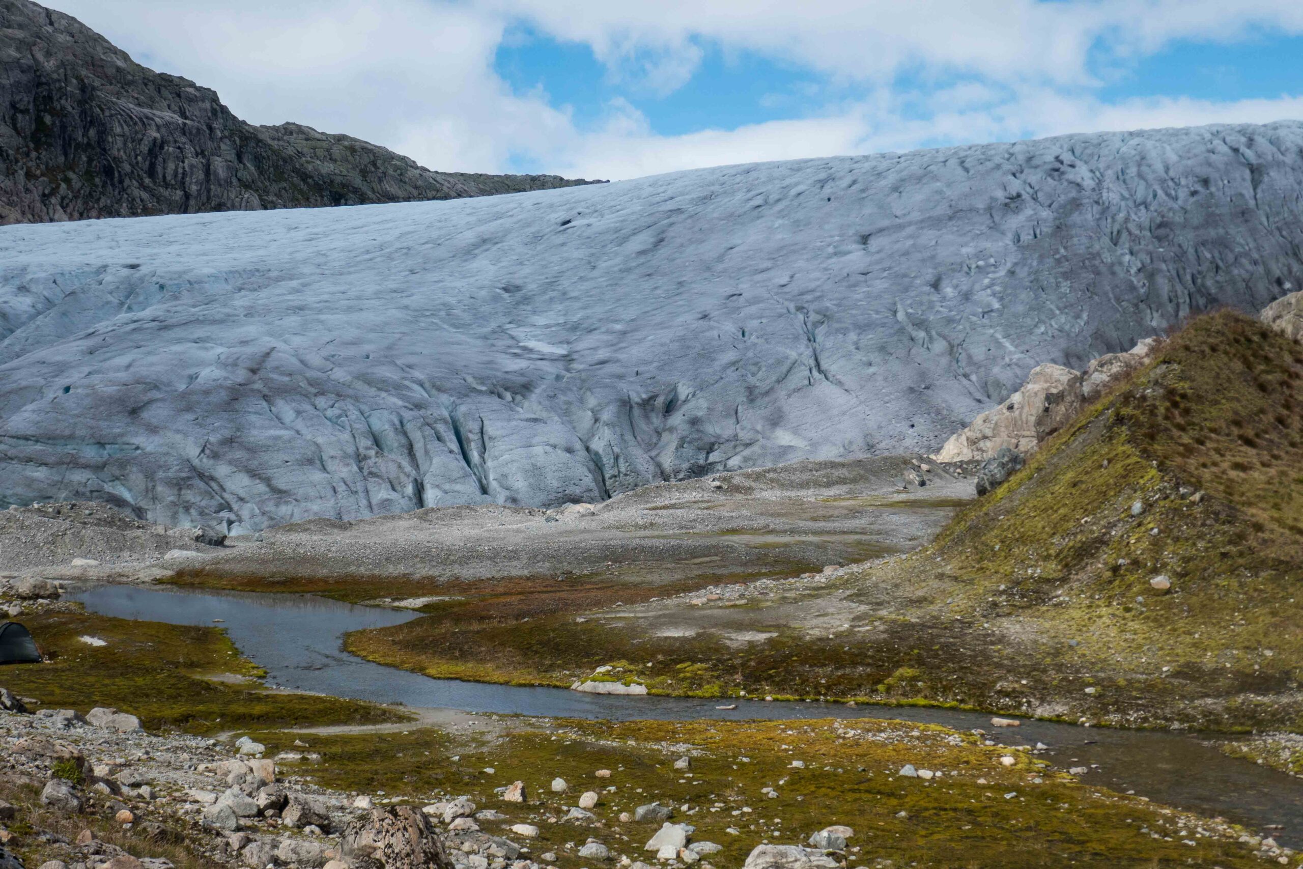
Svelgjabreen (sometimes: Vestre Blomsterskardsbreen) forms the southermost tip of Folgefonna, Norway’s most southerly ice cap. In other words, no glacier in Norway is located further to the south than Svelgjabreen.
Apart from being the southernmost one, Svelgjabreen is also one of the biggest glaciers of Norway, measuring over twenty square kilometers. The glacier was in a steady state up to 2016, but is now thinning and receding. Still, the ice reaches virtually up to the mossy slopes. A rare experience for those who are used to the common sight of totally collapsed glaciers surrounded by kilometers of barren, formerly glacier-covered landscapes. Nonetheless, the glacier lost about a kilometer since its maximum extent around 1750 (Wittmeier, 2010).
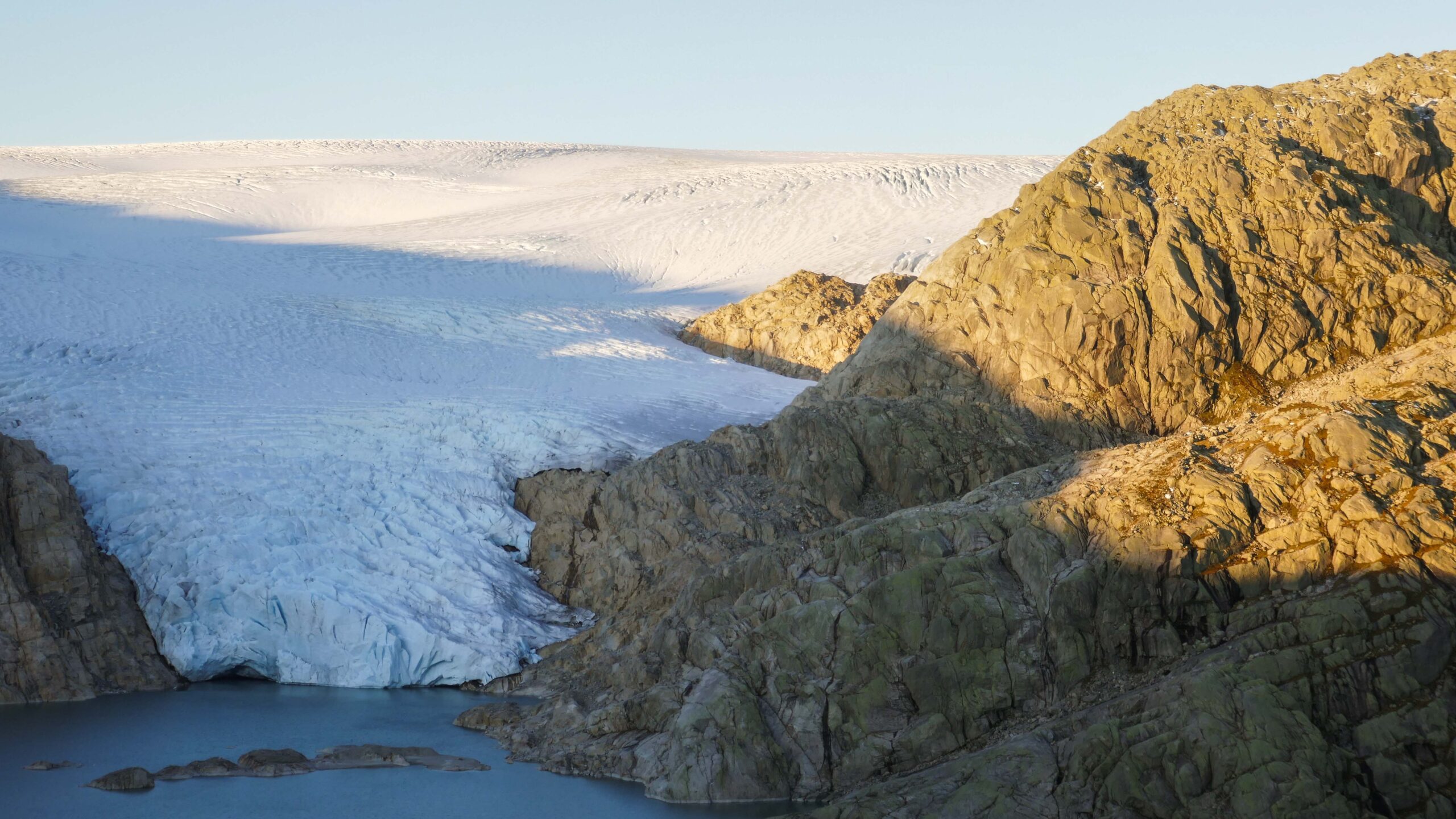
A visit to Svelgjabreen starts at the dam of Møsevatnet, a reservoir constructed in 1965 to generate hydroelectricity. The reservoir reaches all the way to the Folgefonna ice cap and suddenly turned one of the outlets into a calving glacier. This Møsevassbrea still calves into the lake, but is getting smaller every year. The climate-driven retreat is augmented by the construction of the dam, as the water increases melt at the base of the glacier. Nevertheless, Møsevassbrea is still worth a visit, though getting close requires a kayak. The dam is 3 km from the calving glacier front.
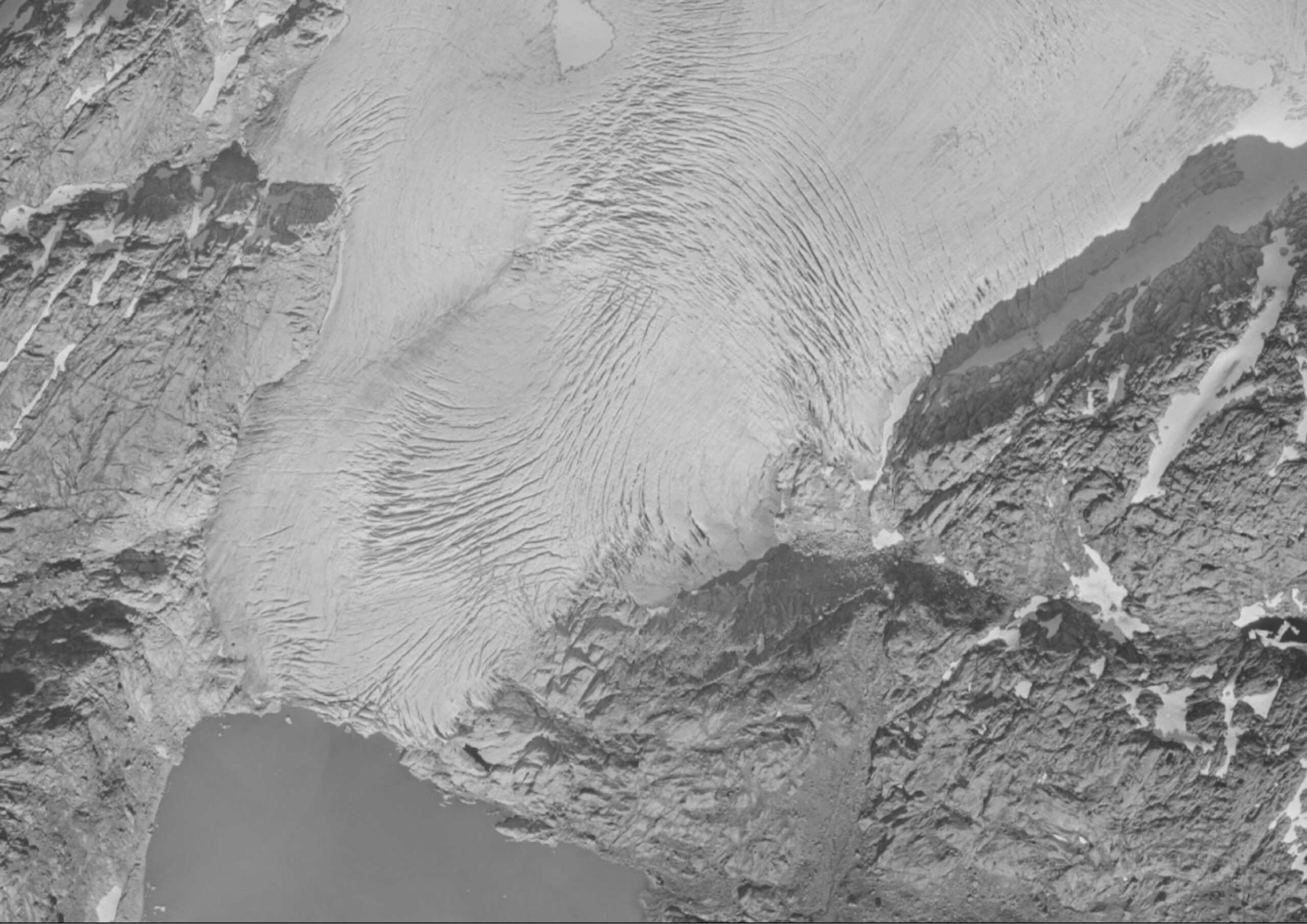
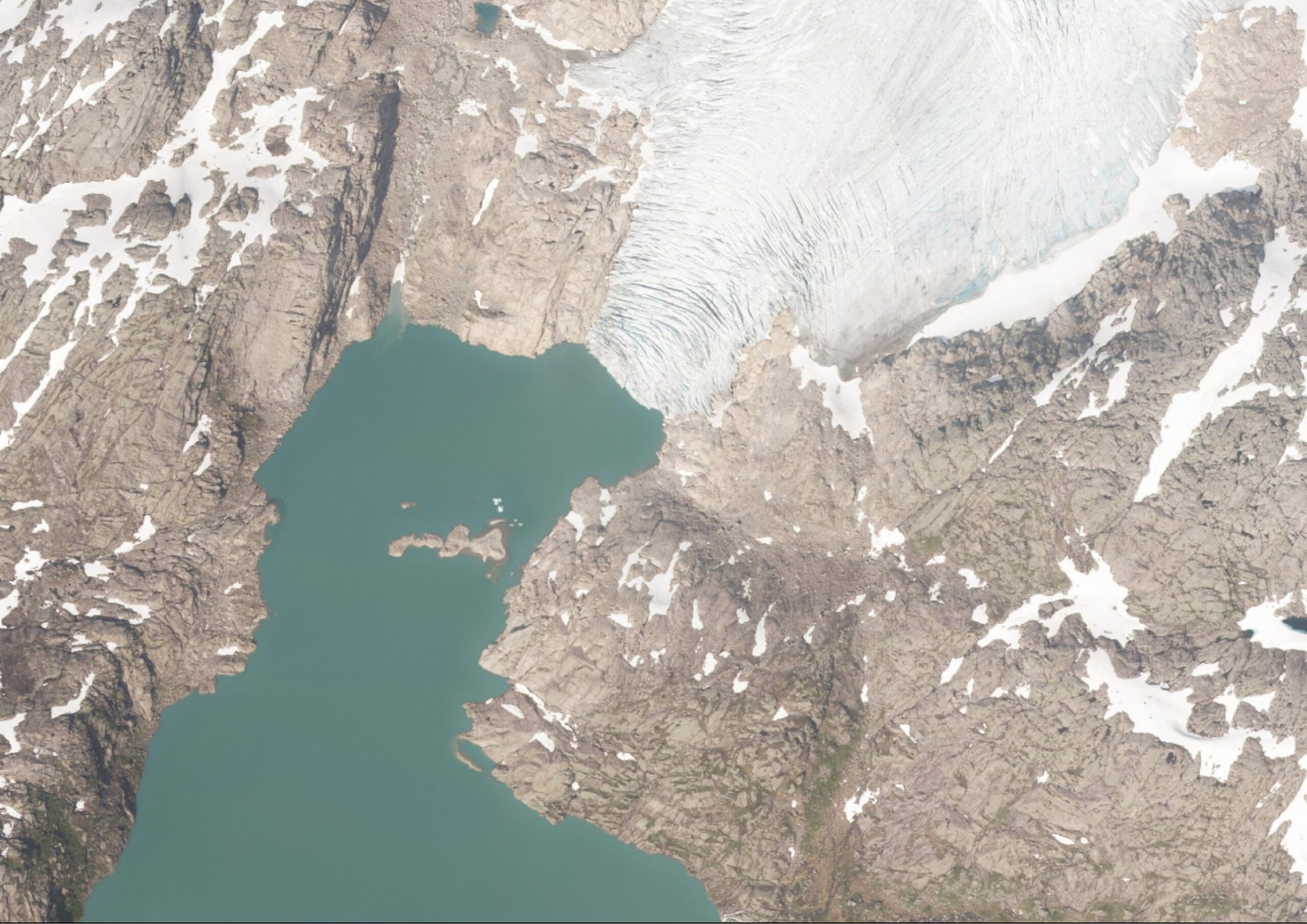
Møsevatnet in 1962 (left) and 2020. Source: norgeibilder.no.
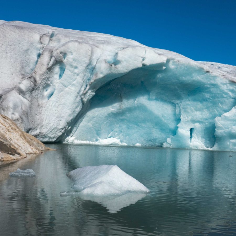
Many kilometers from Møsevatnet, when walking along the shores of the fierce Blådalselvi river, Svelgjabreen comes into sight. A swaying suspension bridge spans the river. On the other side, no more than a kilometer of grassy slopes and rock outcrops seperates you from the glacier. Directly in front of the eastern side of Svelgjabreen’s snout, a lake seasonally fills and drains. Around it lie moraines of only one to a few meters high, constructed when the glacier advanced around 2015. Here, the landscape is quite flat, whereas the western side of the snout is much steeper and surrounded by rock faces. There the meltwater river emerges from underneath the ice and the glacier front is very steep, if not vertical. An impressive sight.
Search within glacierchange: