Þorísjökull (Thorísjökull) is a plateau ice-field of about 20 km2 on the summit of a table mountain. At 70 km, no glacier is closer to the capital of Reykjavik than Þorísjökull, measured in a straight line. But as the glacier is not the easiest to reach, only few go there.
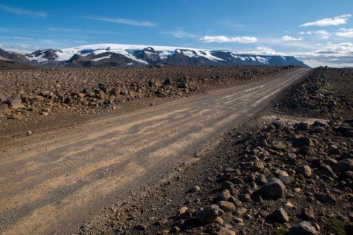
Getting at Þorísjökull requires passing through Kaldidalur (cold valley), a high, cold and windy valley between glaciated mountains in the east and the Ok shield volcano in the west. Ok used to be glaciated as well, but lost its white cap of 15 km2. It shrank to only a fraction of its original size in the course of the twentieth century and disappeared completely by 2014.
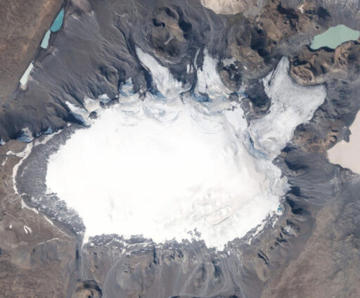
To remember the lost glacier, people installed a remembrance plaque on the top. It includes a Letter to the Future, stating: ‘’ Ok is the first Icelandic glacier to lose its status as a glacier. In the next 200 years all our glaciers are expected to follow the same path. This monument is to acknowledge that we know what is happening and what needs to be done. Only you know if we did it.”
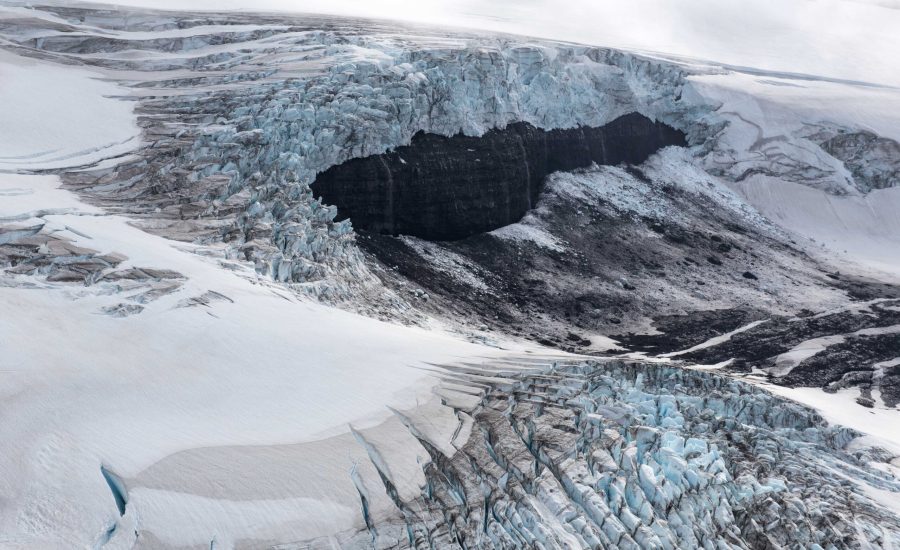
Just like Eiríksjökull, Þorisjökull is a table mountain or tuya, produced by subglacial volcanic activity during the last ice sheet glaciation of Iceland. Both are (were) high enough to sustain glaciers, although Þorisjökull is not covered completely. The south side of the plateau is ice-free, whereas the northern part has several outlet glaciers of a few kilometers. They have steep icefalls at the mountain’s cliffs, yet slope quite gently once down.
So far, nobody has taken the effort of naming any of the outlet glaciers of Þorisjökull. And as temperatures rise, this lack of names will resolve itself. After all, within this century Þorisjökull is bound to disappear due to global warming. But to tell the three outlet glaciers apart, they will be referred to as East, Middle and West. The eastern glacier is the biggest one. It measures 3 km in length and is much wider than the other two, consisting of a split snout wrapped around a small mountain. At the mountain sides the former height of the glacier is recognizable.
Þorisjökull-East in 1931, 1951 and 2023. Source historic photos: Jöklarannsóknafélag Íslands.
The middle glacier also left its marks in the landscape. When the glacier was twice as long as the present 2 km it formed a distinctive arcuate end moraine and reached all the way to the foot of mount Prestahnúkur, where it left a trimline. The west glacier unsurprisingly shares the same history, having receded about one kilometer. Both glaciers have a recessional push moraine about half a kilometer from the glacier snouts. These were probably formed in the 1980’s, when recession was temporarily halted.
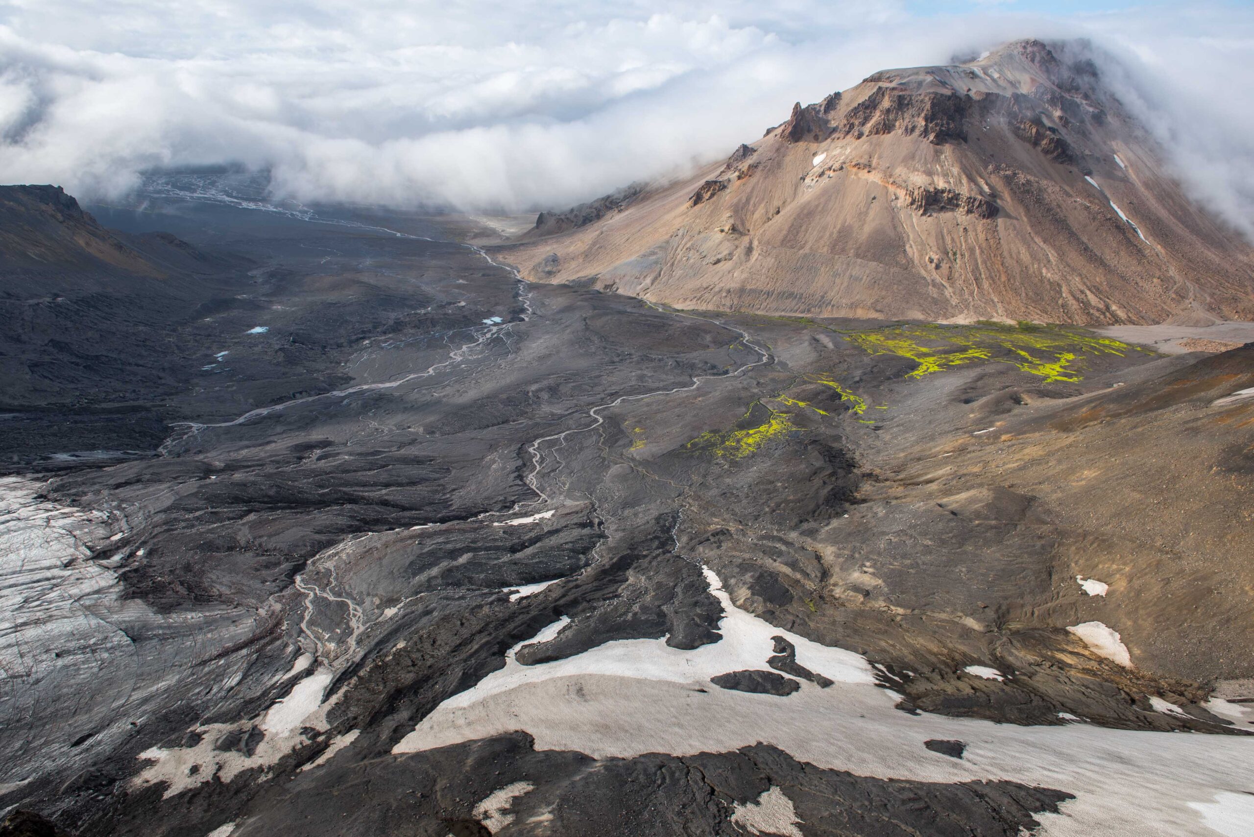
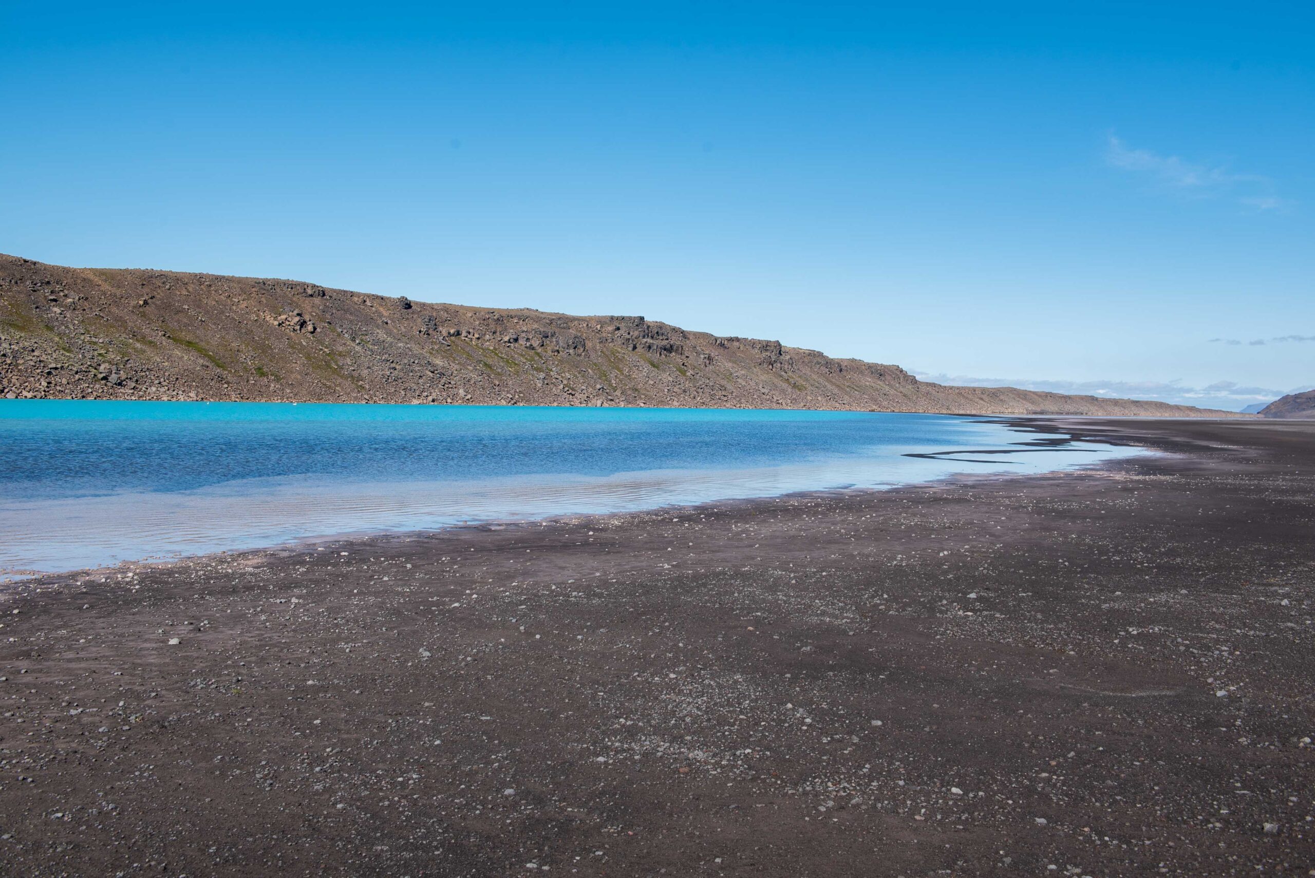
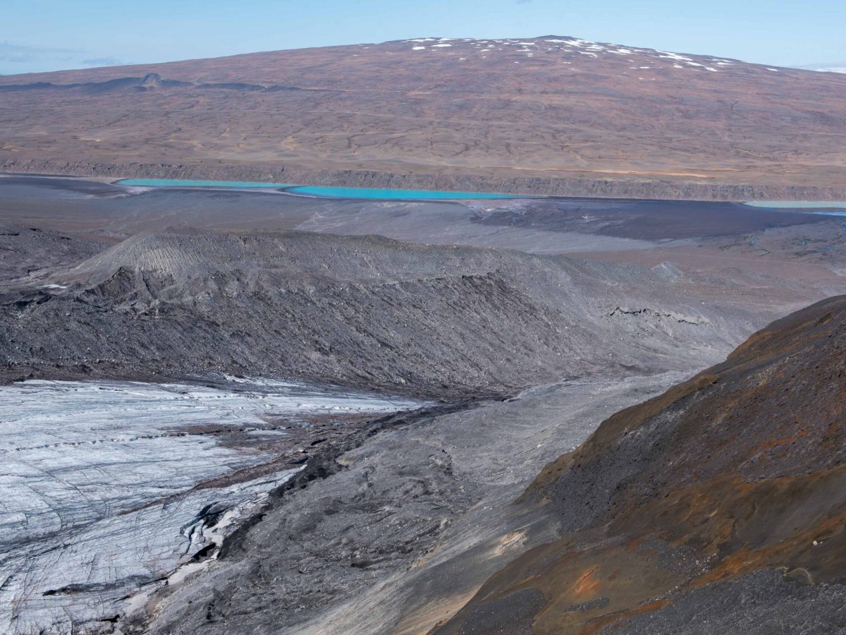
Meltwater from the middle and west glaciers flows in a westerly direction, towards Kaldidalur. Because the soils here are so sandy, most water sinks into it, only to reappear along a remarkably straight wall of solidified lava. There it collects in beautifully colored lakes. As Þorisjökull will continue to melt, at least there won’t be a shortage of meltwater to fill the lakes.
Search within glacierchange: