Hidden behind Mýrdalsjökull there is a landscape of deep valleys, bright mountains, braided rivers and a few glaciers. Torfajökull is the biggest glacier in the area.
The region north of Mýrdalsjökull is called Fjallabak, Icelandic for ’behind the mountains’. The roof of Fjallabak is formed by Torfajökull. With its 1200 meter high glaciated top this mountain is hard to miss. The ice field spans eight square kilometers and doesn’t really have outlet glaciers. A few kilometers to the west lies Kaldaklifsjökull, a much smaller glacier. The popular multi-day hike Laugavegur runs near Kaldaklifsjökull, but there are no trails close to Torfajökull.
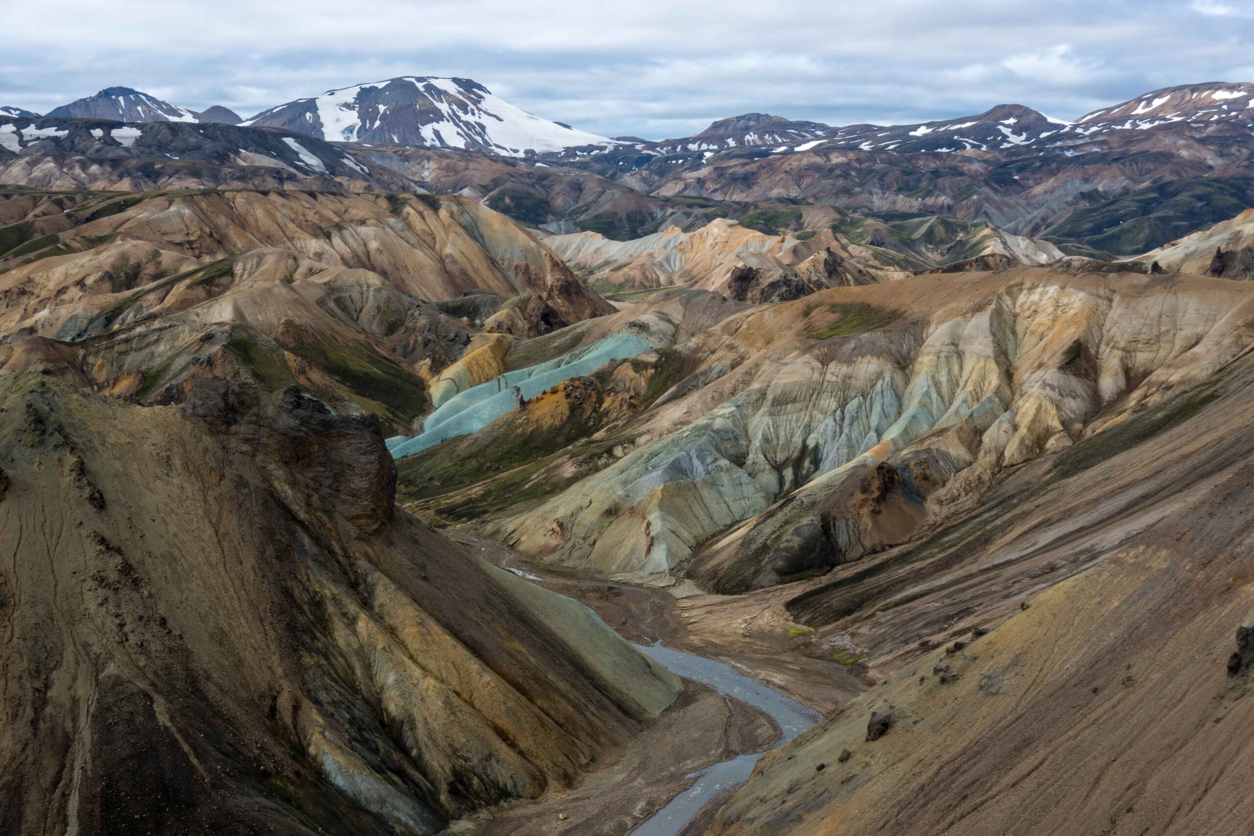
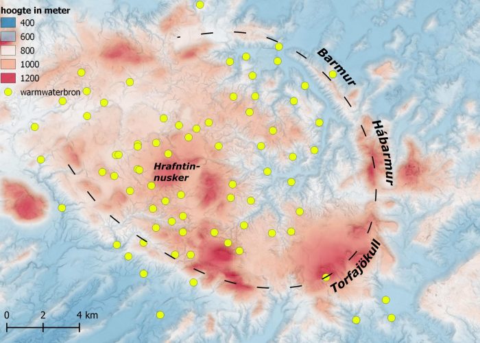
When Torfajökull was decribed for the first time, in 1756, it was called one of the most astonishing places of Iceland. Boiling hot water emerged from underneath the ice. The numerous hot springs are caused by geothermal activity, which in turn is caused by Torfajökull’s location inside the Eastern Vulcanic Zone of Iceland. In fact, Torfajökull is part of a gigantic caldera fourteen kilometers in diameter, the biggest of the country. Besides the glacier and the mountain, this caldera is also called Torfajökull (Björnsson, 2017:265).
The vulcanic complex of Torfajökull was mainly active during the last ice age, when the whole of Iceland was covered by an ice sheet. It is estimated that Torfajökull ejected some 250 cubic kilometers of lava (Gunnarsson et al., 1998). The system is eroded and filled since then, making it indistinguishable. Only the eastern crater rim is more or less of recognizable in the curving ridges of Barmur and Hábarmur. Together with Torfajökull mountain they form an arc. But the only way to really see the caldera is by looking at an elevation map.
Although no crater is recognizable from ground level, the landscape is full of volcanic legacies. During its active lifespan Torfajökull discharged virtually nothing but rhyolite, an erosive volcanic rock type. Its bright colors attract many tourist to this area, especially to nearby Landmannalaugar. Besides the rhyolite mountains and a hot spring (Lauga meaning bath in Icelandic), Landmannalaugar was the site of an eruption in 1477. For now, this is the most recent eruption of Torfajökull. The second last one was in the year 871 (at Laugafell) and coincided with the first Norwegian settlers to set foot on Iceland.
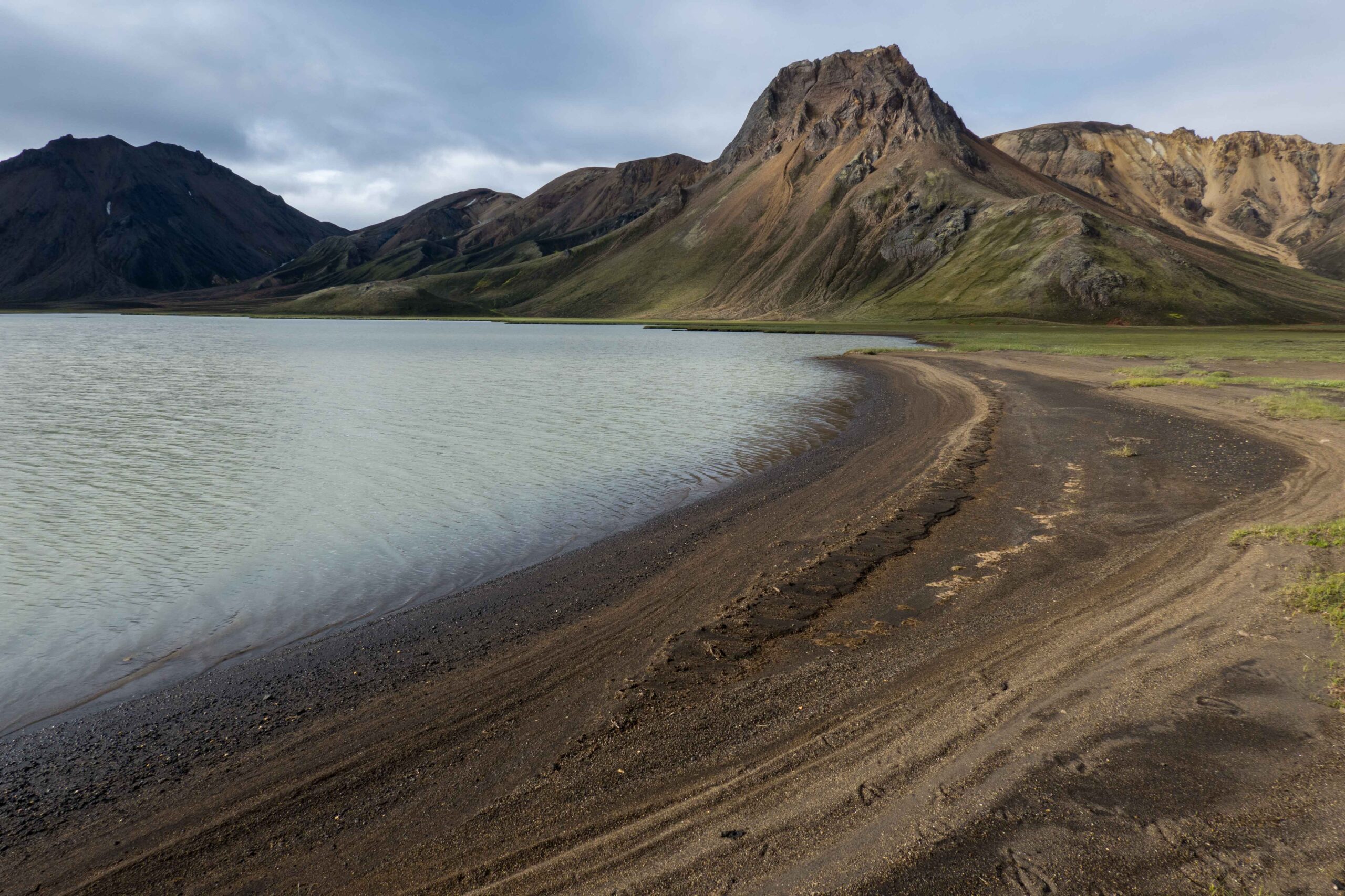
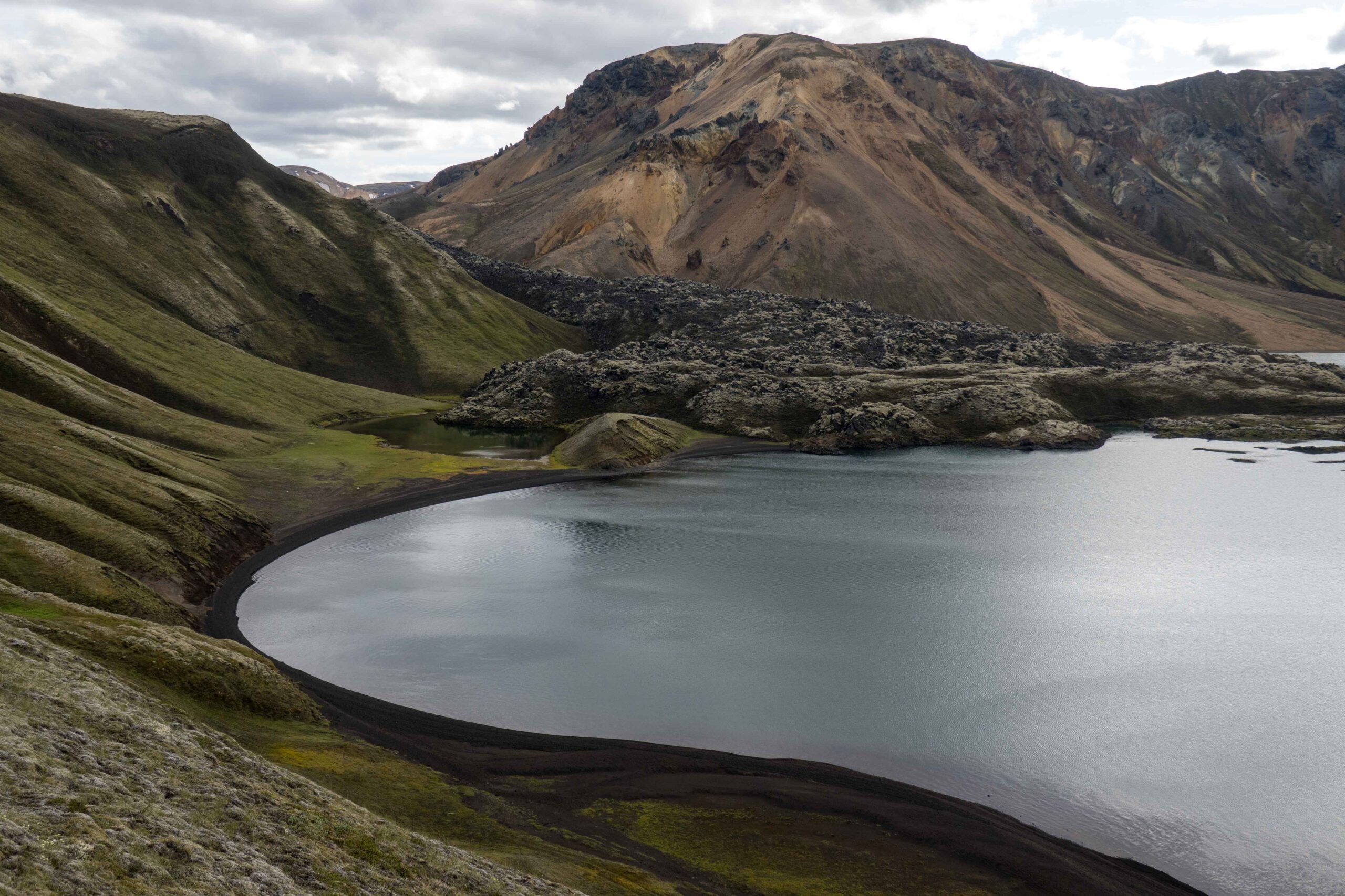
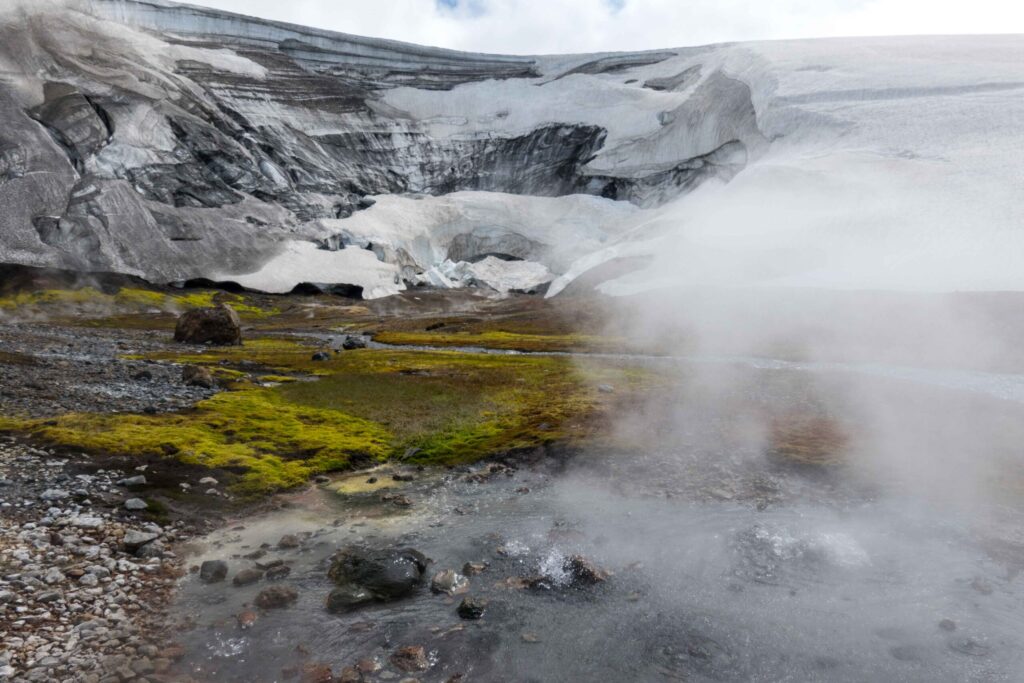
The caldera may have disappeared, underneath Torfajökull there is still lots of geothermal activity. The many hot springs bare witness of it. They are all situated inside or directly next to the caldera. In combination with glaciers, hot springs can create very rare ice caves. The most spectacular example of this interplay of fire and ice lies at the western slope of Hrafntinnusker, a mountain within the crater at eight kilometers from Torfajökull glacier. Multiple hot springs border a small glacier that is formed at the leeward side of the mountain. Boiling hot water and steam prevent the glacier from advancing over the hot springs. Underneath Torfajökull glacier some hot springs are also active, but they are too minor to create ice caves. In 1756 that must have been quite different, as the glacier was much bigger and occupied more hot springs.
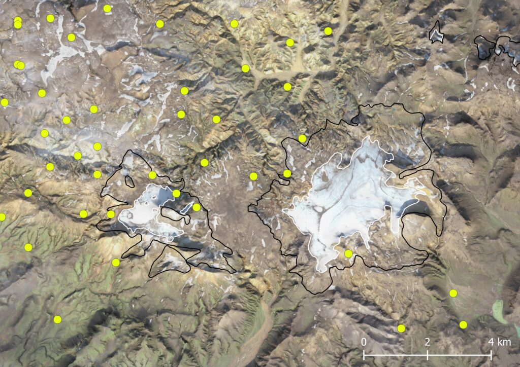
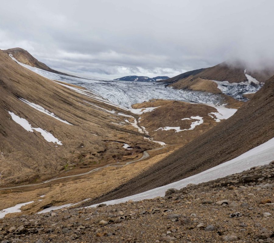
Torfajökull isn’t doing so well. It has shrunk from 22 square kilometers in 1890 to only 8 at present. In the north the glacier used to dam a proglacial lake. When the glacier got smaller the lake drained, leaving nothing but shoreline marks in the surrounding slopes. Besides smaller, Torfajökull is of course also getting thinner. Not much research has been conducted, but over the period 1998-2004 the glacier was thinning at a rate of about two meters annually (Gudmundsson et al, 2011). Since then, conditions have only gotten worse. With Torfajökull being nowhere thicker than 100-150 meters, the glacier is bound to disappear. The roof of Fjallabak will lose its white cap.
Search within glacierchange: