The glaciers of Vatnajökull form by far the largest ice cap of Iceland and hosts a great variety of glacier types. The volcanoes covered by the ice cap make the region even more unique.
Vatnajökull is 140 kilometers wide, covers 7500 square kilometers and is up to one kilometer thick! The Vatnajökull ice cap extends from the Atlantic coast in the south to the highlands in the north. Due to its proximity to farmlands in the south, Vatnajökull’s behaviour is intertwined with human history. A thousand years of farming are shaped by the glaciers whims, often in a devastating way.
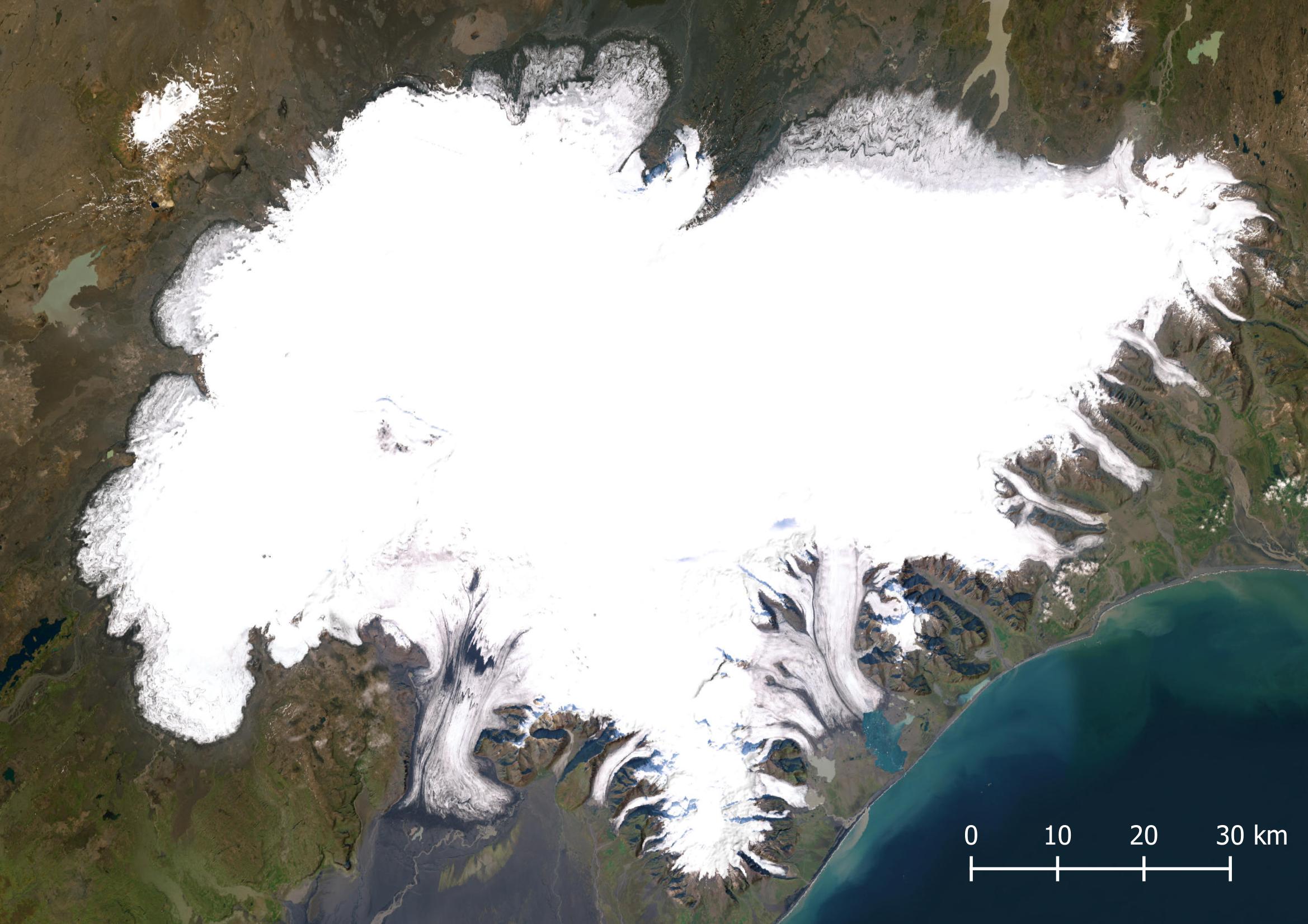
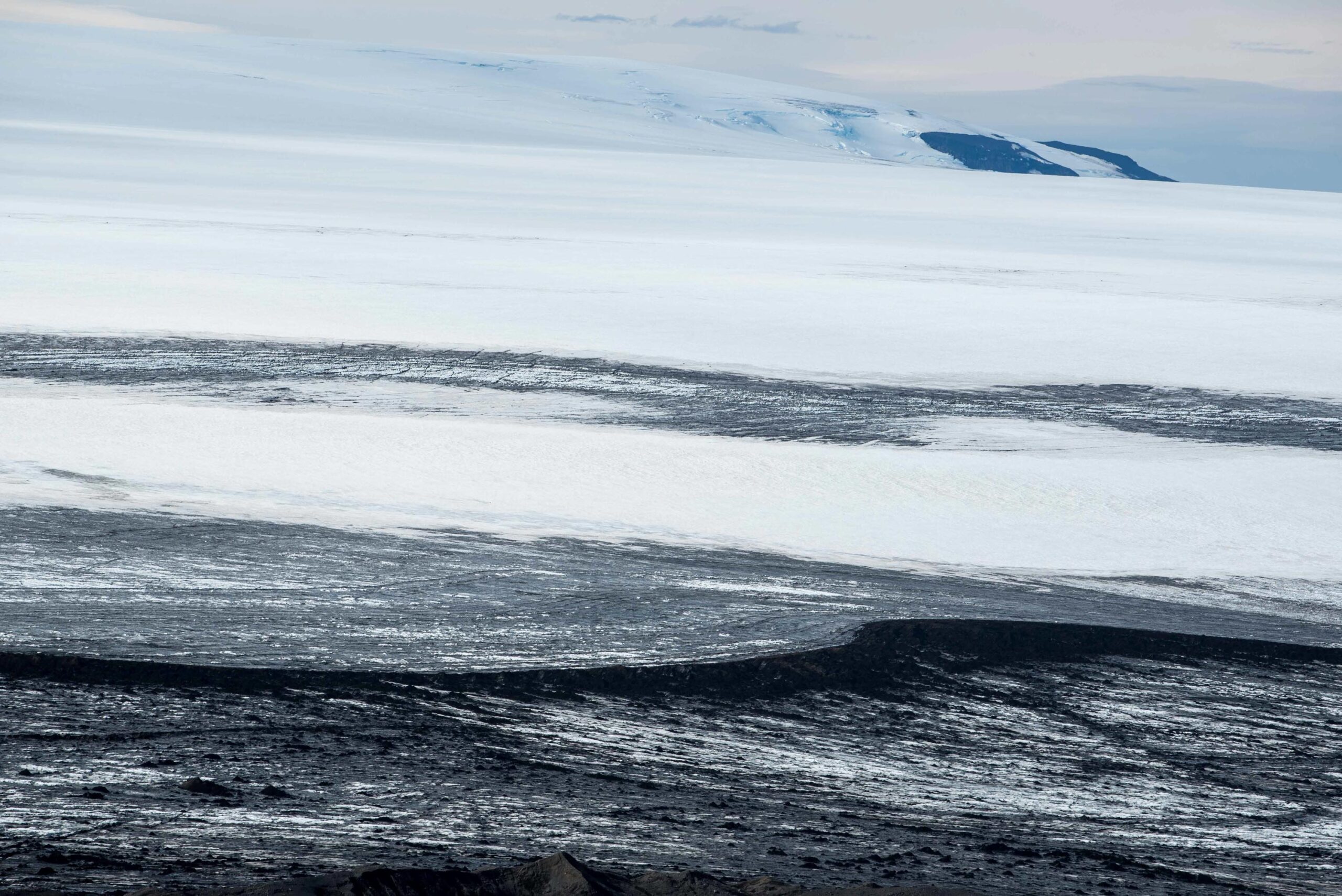
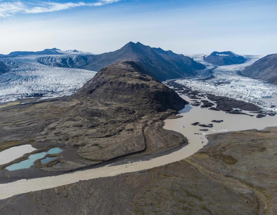
The glaciers extending from Vatnajökull vary greatly. To the north and west, where they border the highlands, glaciers appear as wide lobes. The ice in these lobes is practically stagnant, only moving in so-called surges. During such events the glacier suddenly moves forward, advancing hundreds of meters in a matter of months. In the south, on the other hand, most glaciers are temperate outlet glaciers. They are confined in valleys and have carved out overdeepenings. As the glaciers retreat from such depressions, lakes are formed.
Some of Iceland’s highest mountains are located underneath the ice cap. Most of them are active volcanoes, with Grímsvötn being the most feared one. When they erupt, the subglacial magma melts vast masses of ice and meltwater runs towards the lowland. Such glacial lake outburst floods or jökulhlaups are characteristic of Vatnajökull. For centuries these events made traversing the south coast hazardous. Moreover, jökulhlaups prevent vegetation to grow in their paths, leaving vast expanses of coastland appear as barren black outwash plains or sandurs.
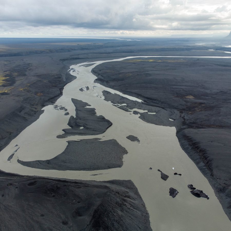
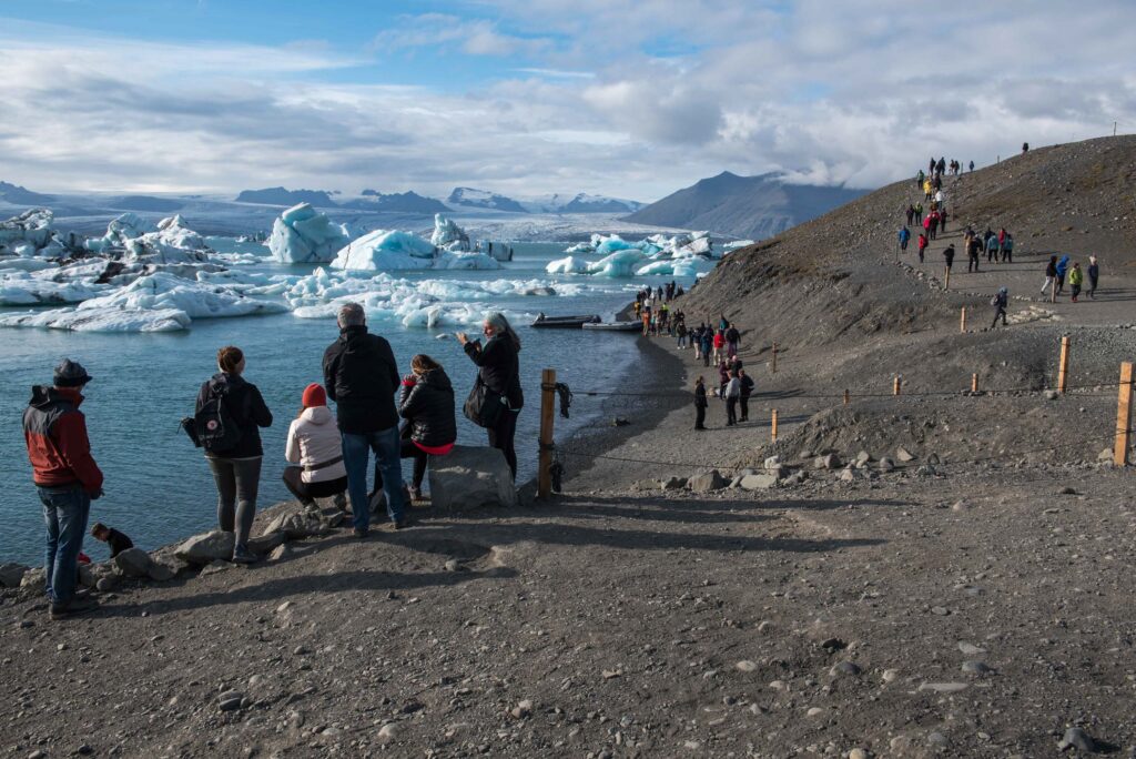
Research shows Vatnajökull is likely to lose most of its ice in the coming centuries due to sustained temperature shifts. The Vatnajökull National Park therefore has special programs to inform the public about climate change, such as melting-glaciers.is, and was awarded a World Heritage Site in 2019. The wide variety of glacial landscapes make Vatnajökull a prime locality for exploring the impacts of climate change on glaciers and the landforms left behind when they retreat.
Search within glacierchange: